Plizio Visual Lab
Antsiranana

ℹ️Practical info — Antsiranana
▾
🌤 Weather — 5 days
📍 Nearby
Sights nearby
💡 Tips
- Start early to beat the heat and the strong Varatraza wind.
- Tuk-tuks (bajaj) are everywhere; agree on the price before getting in.
- Explore the huge Diego Suarez Bay by boat.
- Wear good sun protection, as the northern climate is hot and dry.
🍽 Food
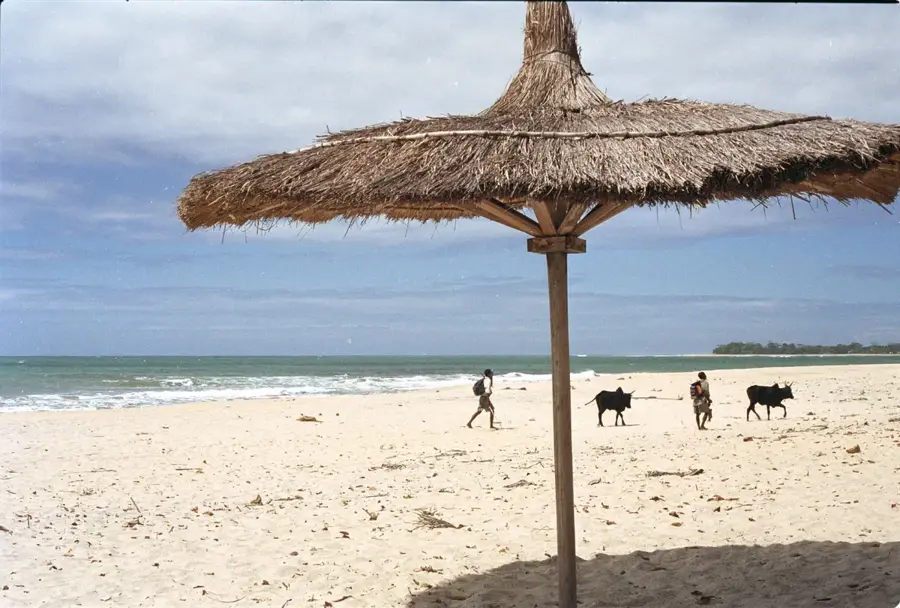
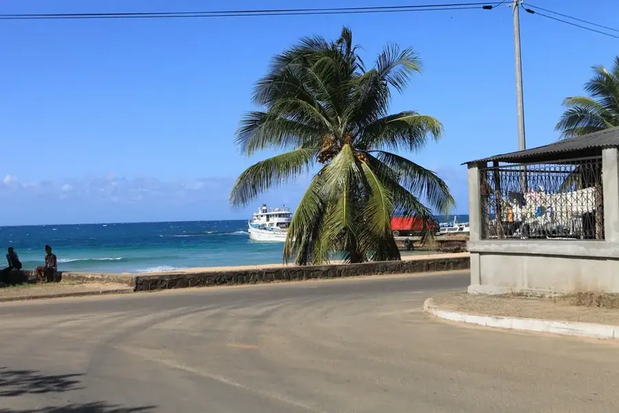
Local restaurants near the port or at Ramena beach.
Fried dough with greens, found at street markets in the morning.
In the cafes along Rue Colbert.
🛍 Shopping · 🧘 Quiet spots
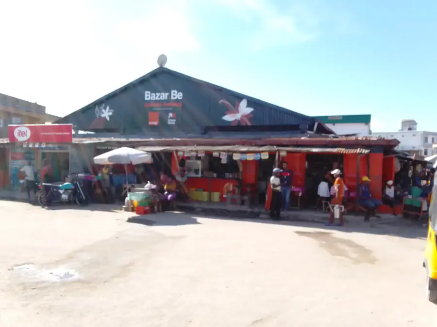
At the local market (Tsena) or from street vendors.
Raffia and wood carvings at stalls along Rue Colbert.
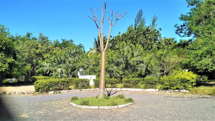
A park offering great views over the bay.
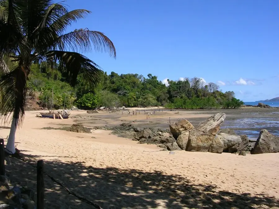
A relaxed, sandy spot a bit outside the city center.
Water temperature…
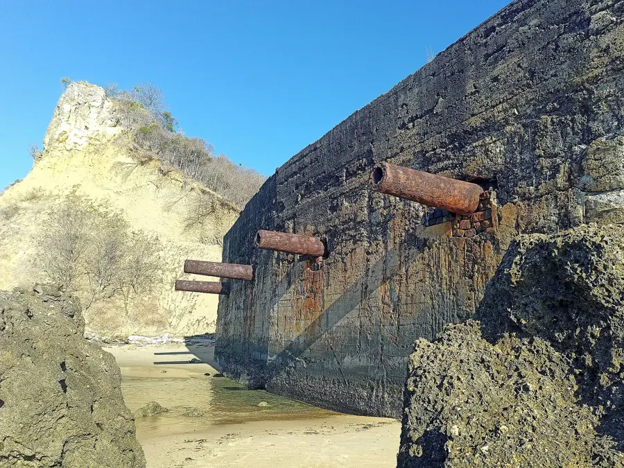
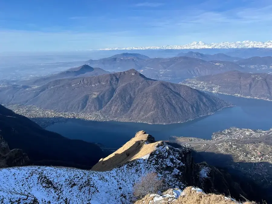
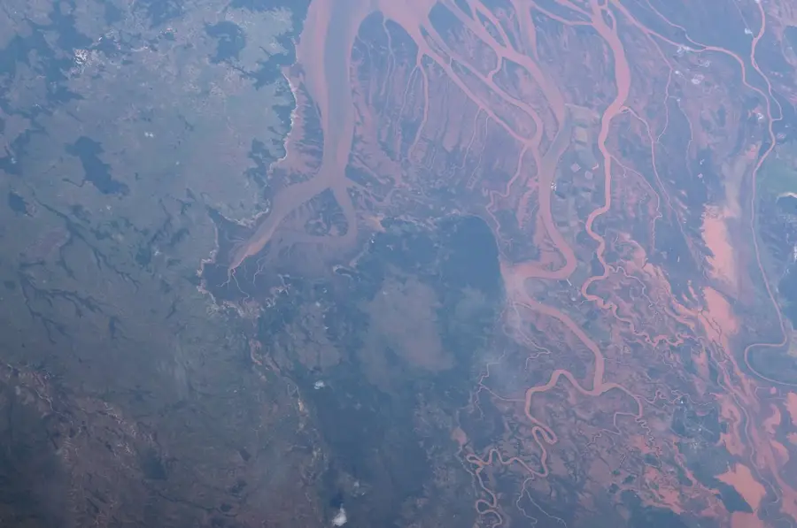
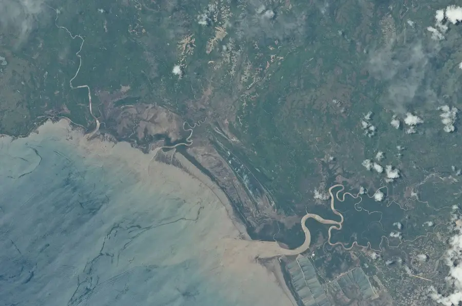
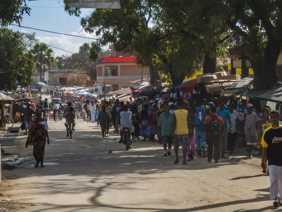
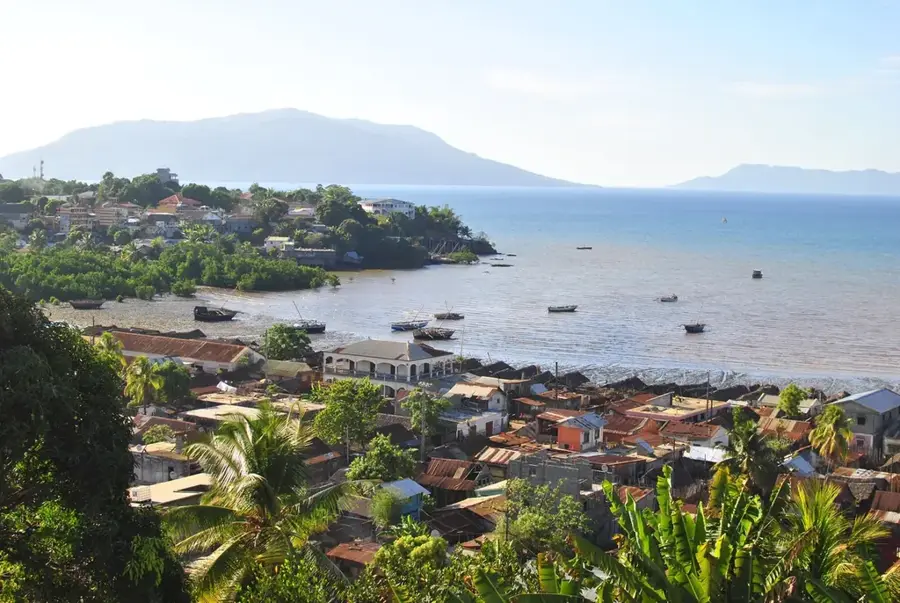
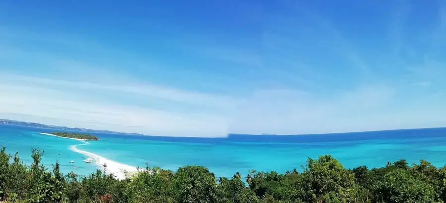
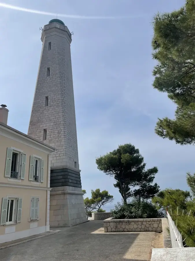
Antsiranana, located at the northernmost tip of Madagascar, is widely regarded as home to one of the world's finest natural deep-water harbors. Historically known as Diego-Suarez, the city is set within a vast, nearly landlocked bay punctuated by the 'Pain de Sucre' (Sugarloaf), a distinctive volcanic islet. Due to its strategic command of the Indian Ocean routes, Antsiranana served as a major naval base for the French military until the late 20th century, an influence still visible in its colonial architecture and diverse urban layout. The surrounding relief is mountainous and volcanic, with the nearby Montagne d'Ambre massif providing a cool, moist microclimate that contrasts with the arid coastal lowlands. Economically, the city relies on maritime services, fishing, and its role as a regional tourism hub. Antsiranana is the primary gateway to unique geological sites like the Tsingy Rouge (red sandstone needles) and the lush forests of Amber Mountain National Park. Its population is notably cosmopolitan, featuring Malagasy, Yemeni, Indian, and European heritages. Despite its geographical isolation from the capital, it remains a critical administrative and naval center for the country.
- Location: Madagascar
- Top sights: Secren · Le Carrousel de Diégo · Bazarikely
- Nearby: Ambilobe (72 km)
- Population: ~136.959 (2026)
Best time to visit & climate
The most pleasant time to visit is Jul–Sep.
| Jan | Feb | Mar | Apr | May | Jun | Jul | Aug | Sep | Oct | Nov | Dec | |
|---|---|---|---|---|---|---|---|---|---|---|---|---|
| Avg °C | 26 | 26 | 26 | 26 | 25 | 24 | 23 | 23 | 24 | 25 | 26 | 27 |
| Rain mm | 267 | 212 | 201 | 87 | 38 | 25 | 20 | 18 | 16 | 22 | 49 | 149 |
Geography
Facts
- Antsiranana was named after Portuguese explorers Diego Diaz and Fernando Suarez.
- The Bay of Antsiranana is often cited as the world's second-largest natural harbor.
- The city functioned as a French military base until 1973.
- It serves as the strategic headquarters for the Malagasy Navy.
- The surrounding area is famous for the unique and colorful Tsingy Rouge formations.
- Antsiranana is the administrative capital of the northern Diana region.
Explore nearby
Notable places around
Route planner — Car & Motorhome
Where do you start? We build the route here, with stops and country notes along the way.
© OpenStreetMap contributors · OpenRouteService
Sights in the town Antsiranana (3)
Frequently asked questions
How long should I stay in Antsiranana?
When is the best time to visit Antsiranana?
How to get to Antsiranana?
Are there local specialties in Antsiranana?
Is Antsiranana suitable for families?
Antsiranana: where is it located?
Antsiranana: what is there to see?
Antsiranana: when is the best time to visit?
Antsiranana: why is it worth visiting?

Nearby cities

History & landmarks
Nature
More places