Plizio Visual Lab
Cap d'Ambre Military Fort
Weather…
Water temperature…
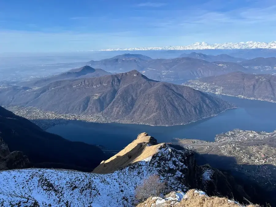
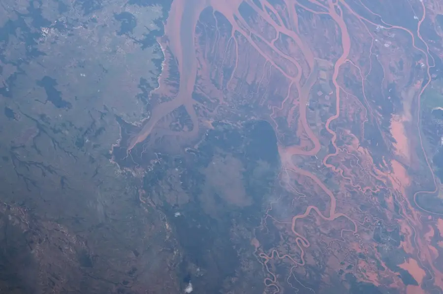
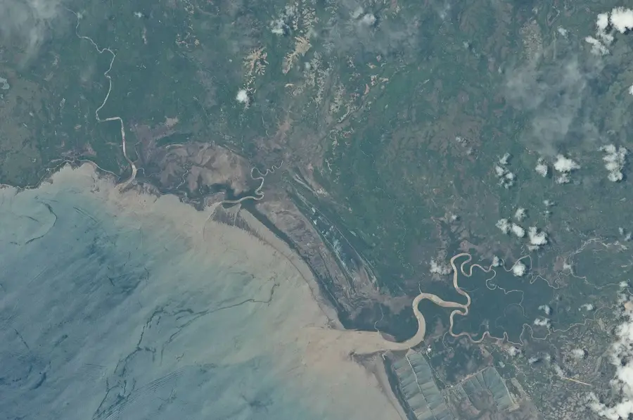
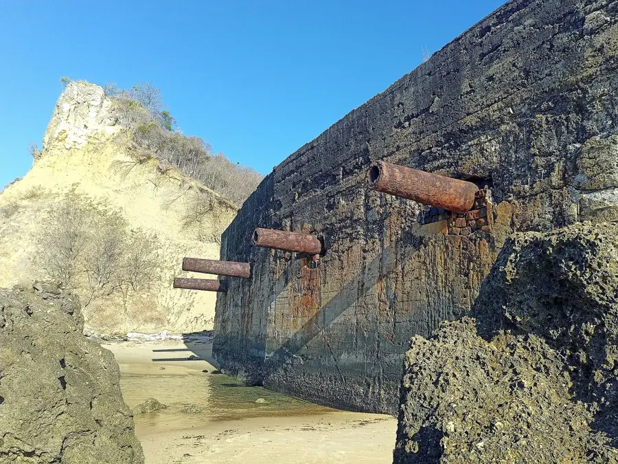
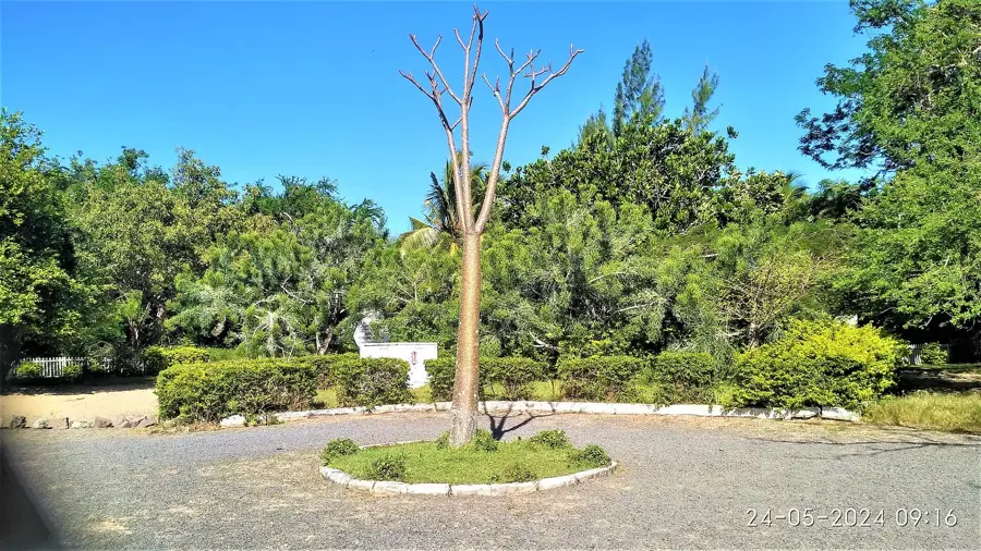
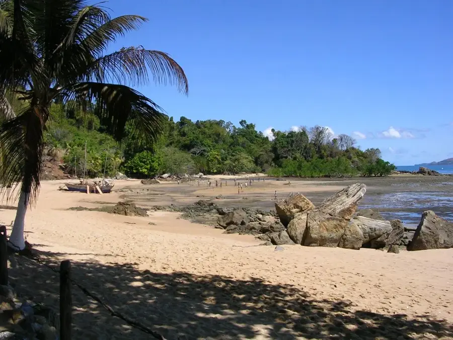
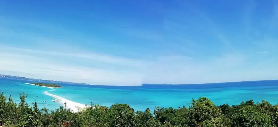
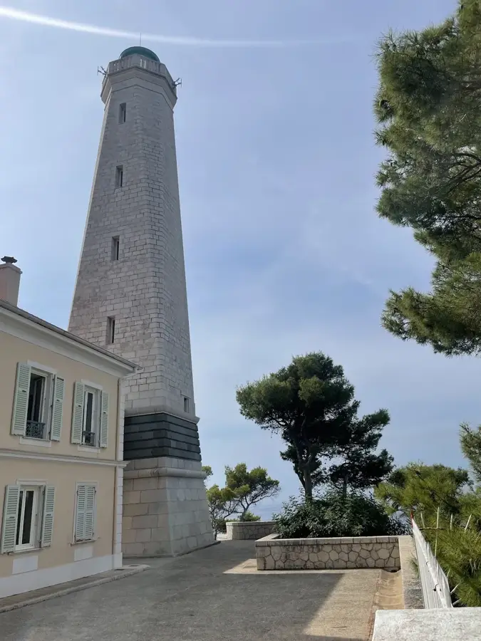
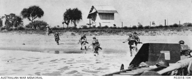
The military fort at Cap d'Ambre, situated at the northernmost tip of Madagascar, was a pivotal strategic outpost for the French Navy during the colonial era. The fort was established to control and safeguard the entrance to Diego Suarez Bay (Antsiranana), one of the world's largest natural deep-water harbors. The installation included observation posts, barracks, and heavy artillery batteries strategically positioned on the cliffs overlooking the Indian Ocean and the Mozambique Channel. Harsh weather conditions and geographical isolation made the construction and logistics of the fort a significant challenge for the administration. Historically, Cap d'Ambre played a vital role in securing maritime routes toward French Indochina and Réunion Island. Following Madagascar's independence in 1960, the fort lost its primary military function but remains a significant monument of defensive architecture. Today, the ruins offer a spectacular view of the meeting point of two seas and bear witness to the geopolitical importance of Northern Madagascar in the early 20th century.
- Location: Madagascar
- Top sights: Tsingy · Baie des Sakalava · Emerald Sea
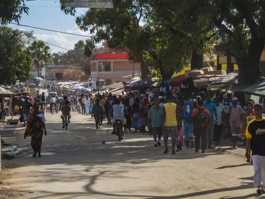
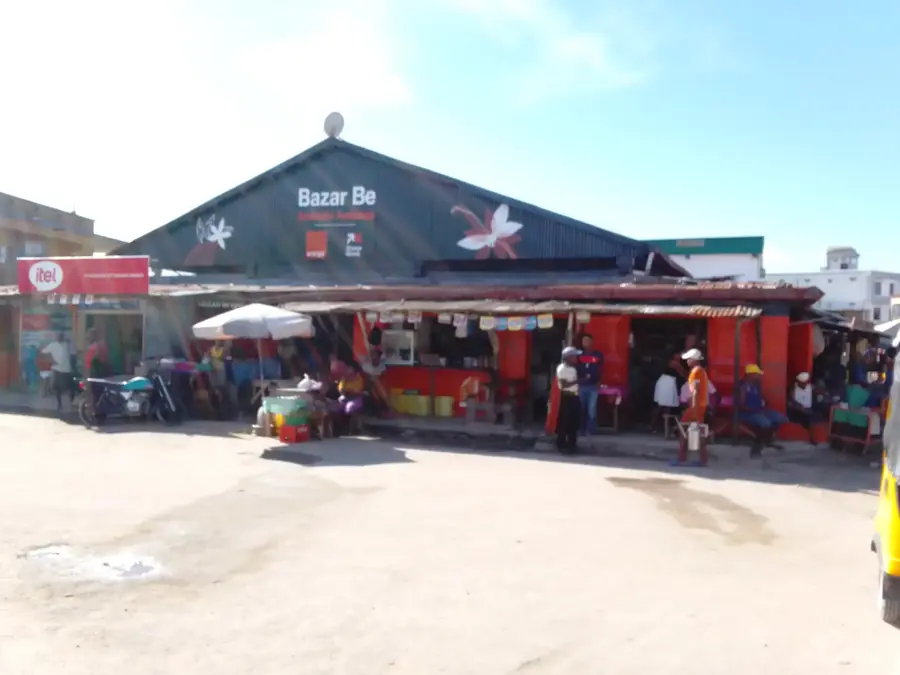
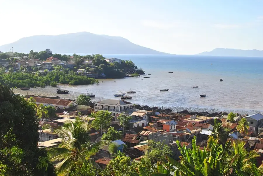
- Nearby: Antsiranana (6 km)
Best time to visit & climate
The most pleasant time to visit is Jul–Sep.
| Jan | Feb | Mar | Apr | May | Jun | Jul | Aug | Sep | Oct | Nov | Dec | |
|---|---|---|---|---|---|---|---|---|---|---|---|---|
| Avg °C | 28 | 28 | 28 | 28 | 27 | 26 | 25 | 24 | 25 | 26 | 27 | 28 |
| Rain mm | 266 | 216 | 190 | 78 | 31 | 21 | 18 | 15 | 14 | 21 | 42 | 143 |
📋 Practical info
Geography
Facts
- Cap d'Ambre marks the northernmost tip of Madagascar at 11° 57' S latitude.
- The fort was reinforced around 1900 to secure the strategic Diego Suarez Bay.
- The prominent lighthouse at the cape was commissioned in 1899.
- The surrounding waters contain numerous shipwrecks from various maritime eras.
- The area is famous for its extremely powerful winds known as the Varatraza.
- The strategic outpost could monitor naval traffic up to 25 km offshore.
Explore nearby
Notable places around
Route planner — Car & Motorhome
Where do you start? We build the route here, with stops and country notes along the way.
© OpenStreetMap contributors · OpenRouteService
Sights in the town Cap d'Ambre Military Fort (3)
Sights nearby
Frequently asked questions
What is the Cap d'Ambre fortress?
Do I need sturdy footwear?
Can I explore the fortress alone?
What is the view like from up there?
Is there shade there?
Cap d'Ambre Military Fort: where is it located?
Cap d'Ambre Military Fort: what is there to see?
Cap d'Ambre Military Fort: when is the best time to visit?
Cap d'Ambre Military Fort: why is it worth visiting?

Nearby cities


History & landmarks

Nature
More places