Plizio Visual Lab
Analamera
Weather…
Water temperature…
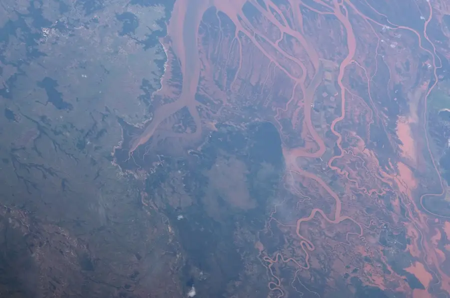
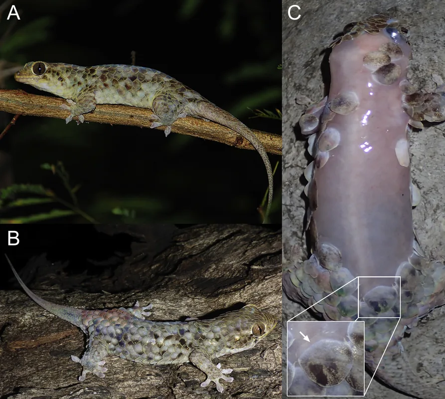
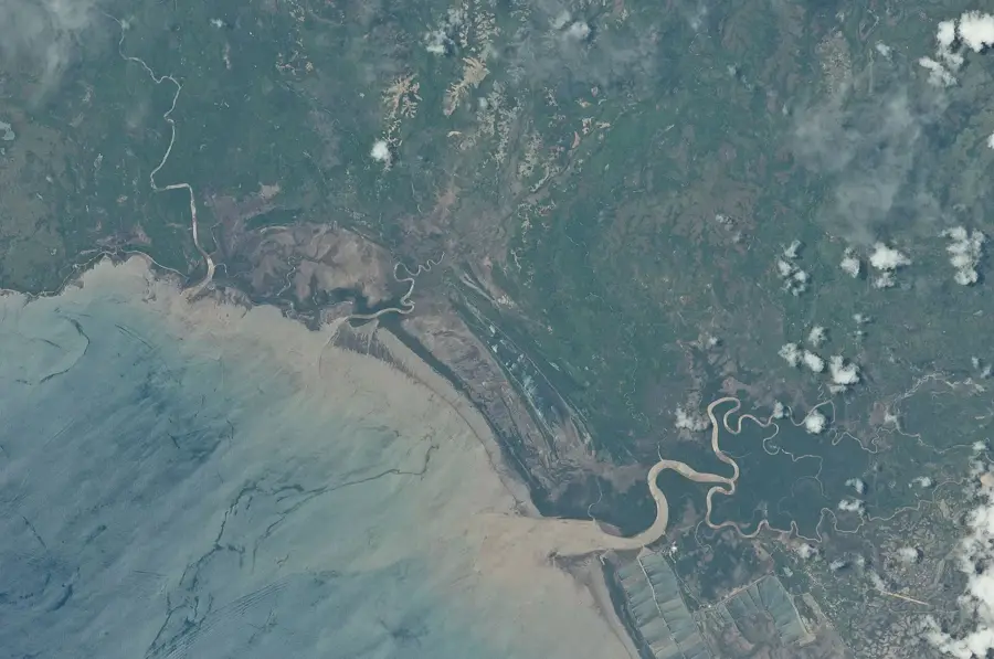
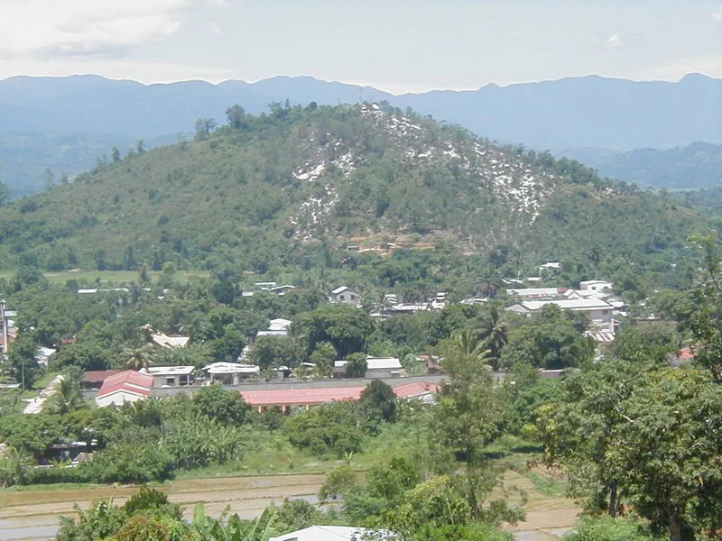
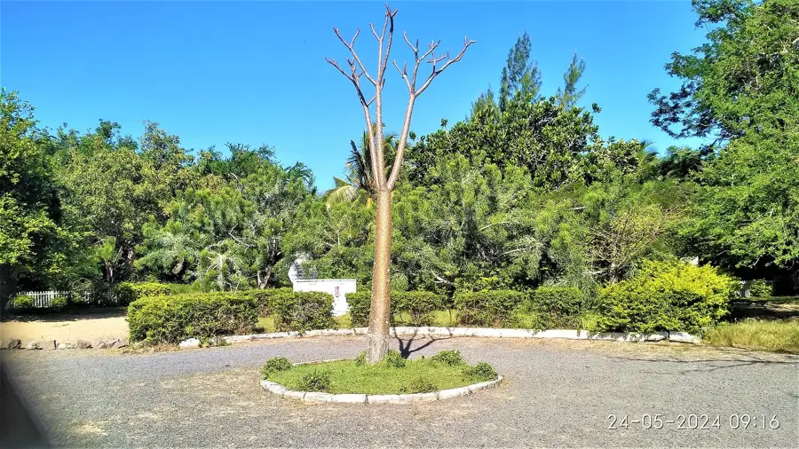
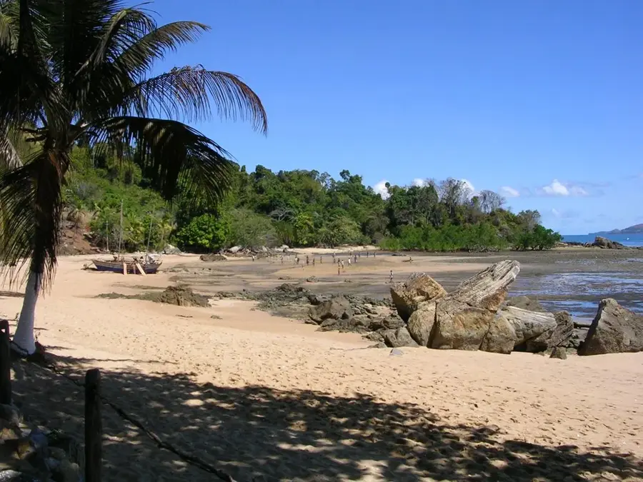
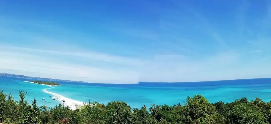
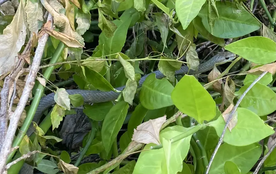
The Analamera Special Reserve in northern Madagascar protects a significant expanse of karst limestone and dry deciduous forest. The landscape is dominated by jagged limestone formations known as 'tsingy,' produced by millions of years of water erosion on soluble rock. This nearly impenetrable terrain provides a natural fortress for numerous endangered species, most notably the Perrier's sifaka, one of the rarest primates on the planet. Geologically, the area is part of a sedimentary basin that was submerged below sea level during the Mesozoic era. The reserve plays a vital role in maintaining the regional hydrological balance, as the porous limestone acts as a giant sponge that feeds local springs. Historically, the razor-sharp rocks made the area unsuitable for human habitation or agriculture, which indirectly preserved its original biodiversity. Today, climate change and illegal logging in the periphery remain the primary threats to this fragile environment.
- Location: Madagascar
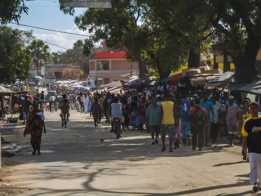
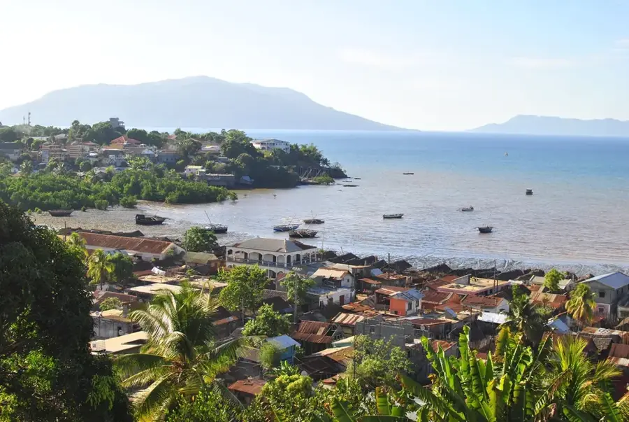
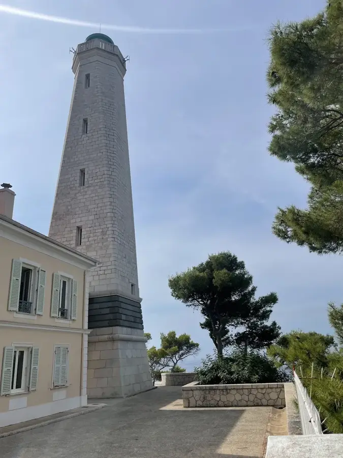
- Nearby: Antsiranana (36 km)
Best time to visit & climate
The most pleasant time to visit is Jul–Sep.
| Jan | Feb | Mar | Apr | May | Jun | Jul | Aug | Sep | Oct | Nov | Dec | |
|---|---|---|---|---|---|---|---|---|---|---|---|---|
| Avg °C | 26 | 26 | 26 | 26 | 25 | 24 | 23 | 23 | 24 | 25 | 26 | 27 |
| Rain mm | 267 | 212 | 201 | 87 | 38 | 25 | 20 | 18 | 16 | 22 | 49 | 149 |
📋 Practical info
Geography
Facts
- The reserve encompasses an area of approximately 34,700 hectares.
- Perrier's sifaka is almost exclusively found within this specific reserve.
- The limestone formations date back to the Jurassic and Cretaceous periods.
- Analamera was officially designated as a special reserve in 1956.
- The average annual temperature in the reserve is around 26 degrees Celsius.
- Several regional rivers, including the Fanambana, originate within its borders.
Explore nearby
Notable places around
Route planner — Car & Motorhome
Where do you start? We build the route here, with stops and country notes along the way.
© OpenStreetMap contributors · OpenRouteService
Sights nearby
Frequently asked questions
What is typical for Analamera?
Is it a protected area?
How demanding is the hiking?
Do I need gear?
When is a visit possible?
Analamera: where is it located?
Analamera: when is the best time to visit?
Analamera: why is it worth visiting?

Nearby cities


History & landmarks
Nature
More places