Plizio Visual Lab
Rittergang
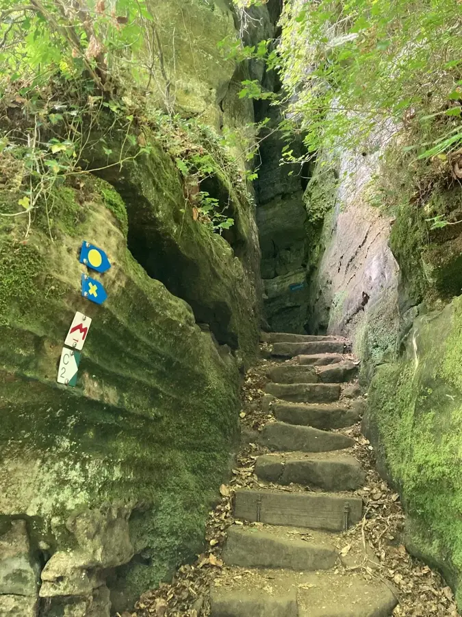
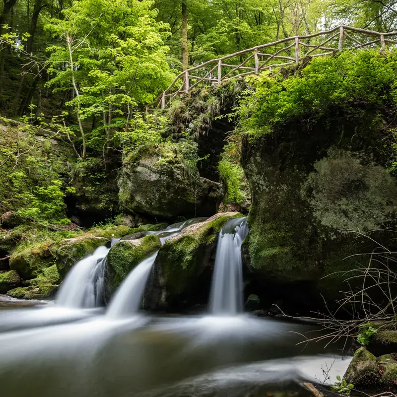
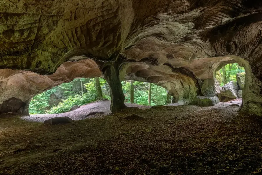
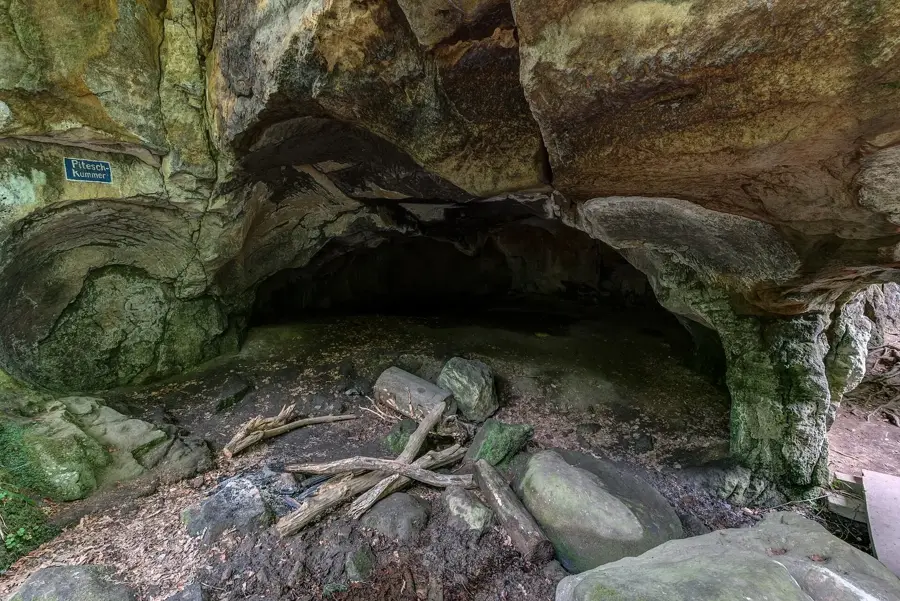
The Rittergang is a spectacular, extremely narrow rock crevice in the Mullerthal region, forming part of the Consdorf rock labyrinth. The path leads through a natural fissure in the Luxembourg sandstone which, at its narrowest point, is barely shoulder-width apart. This geological feature was created by tectonic movements followed by millennia of water erosion. The name 'Rittergang' evokes the medieval atmosphere of the narrow passages, reminiscent of defensive corridors in ancient castles. Traversing the gap requires sure-footedness and often a flashlight, as daylight rarely reaches the bottom of the crevice. The surrounding environment is characterized by pristine nature, where ferns grow directly from the damp rock walls, creating a jungle-like atmosphere in the heart of Europe.
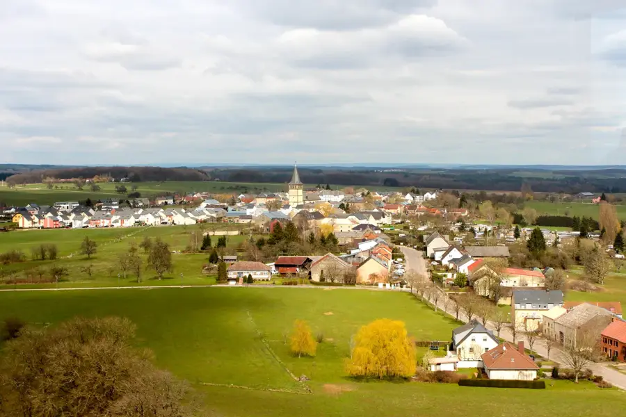
- Location: Luxembourg
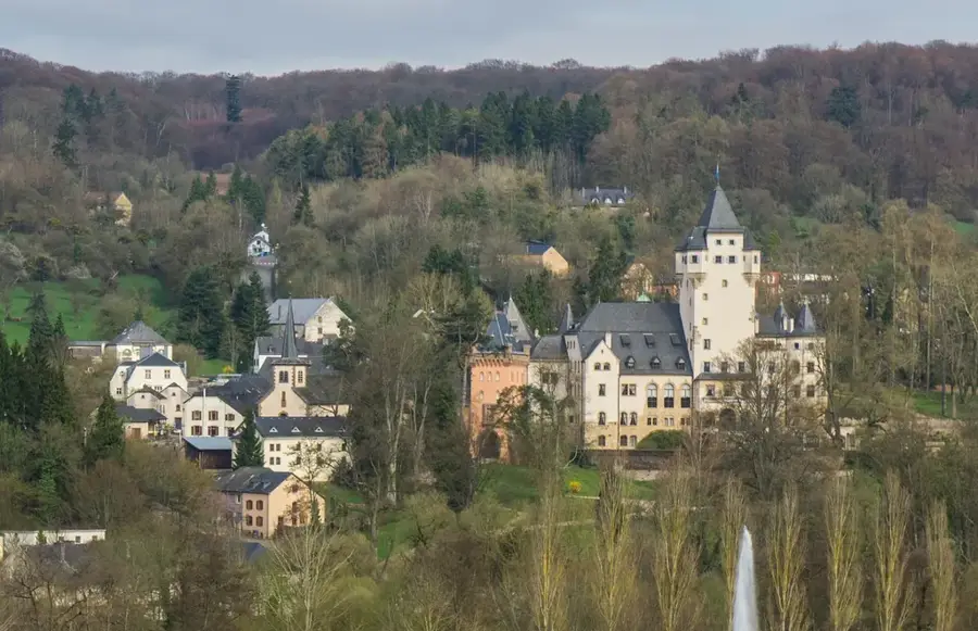
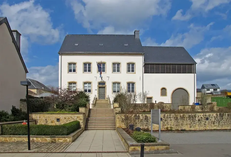
- Top sights: Saint-Jean · A Schmadds · Véiergëtterstee vu Bäerdref
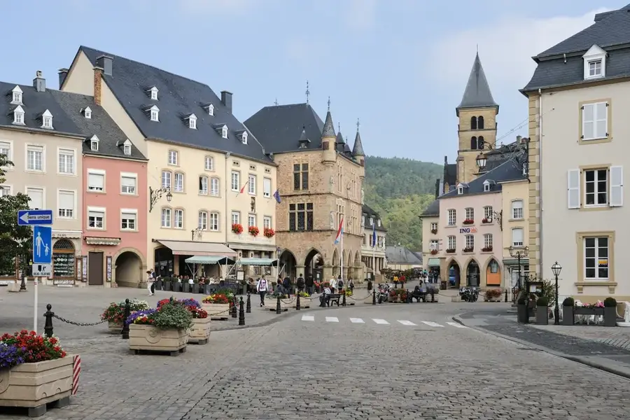
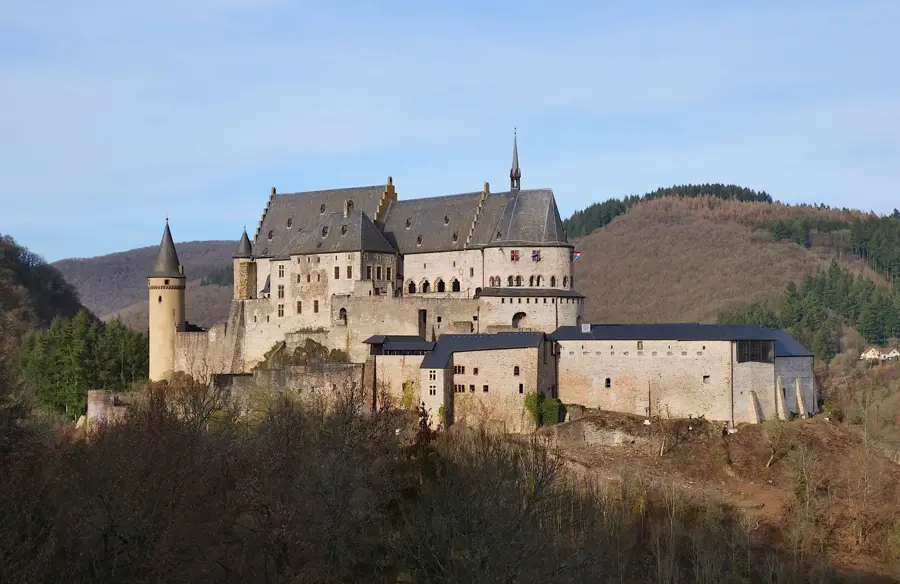
- Nearby: Beaufort (4 km)
Best time to visit & climate
The most pleasant time to visit is Jun–Aug.
| Jan | Feb | Mar | Apr | May | Jun | Jul | Aug | Sep | Oct | Nov | Dec | |
|---|---|---|---|---|---|---|---|---|---|---|---|---|
| Avg °C | 0 | 1 | 4 | 8 | 12 | 16 | 18 | 17 | 14 | 9 | 5 | 1 |
| Rain mm | 75 | 64 | 63 | 49 | 75 | 75 | 74 | 81 | 59 | 67 | 72 | 84 |
📋 Practical info
Geography
Facts
- Part of the Consdorf rock complex in the Mullerthal.
- The narrowest point is less than 50 cm wide.
- Geologically composed of Luxembourg sandstone (Lias).
- Located directly on the Mullerthal Trail Route 2.
- Rock walls reach heights of up to 20 meters.
- Features a cool microclimate even during peak summer.
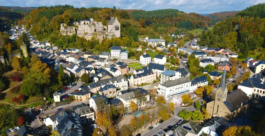
Explore nearby
Notable places around
Route planner — Car & Motorhome
Where do you start? We build the route here, with stops and country notes along the way.
© OpenStreetMap contributors · OpenRouteService
Sights in the town Rittergang (10)
Teufelsinsel
Viewpoint overlooking the rocky landscape.
Amphithéatre Breechkaul
Natural rock formation resembling an amphitheatre.
Maria
Wayside shrine with a statue of Mary.
Hohllay
Hollowed-out rock near Müllerthal, known as Hohllay.
Siewenschlueff
Viewpoint over the Black Ernz valley.
Dolmen
Megalithic tomb, likely a dolmen.
Sights nearby
Frequently asked questions
What is Rittergang?
How wide is the passage?
Do I need light?
Is it part of a larger hike?
Is the trail marked?
Rittergang: where is it located?
Rittergang: what is there to see?
Rittergang: when is the best time to visit?
Rittergang: why is it worth visiting?

Nearby cities


History & landmarks
Nature
More places