Plizio Visual Lab
Champagne Rock
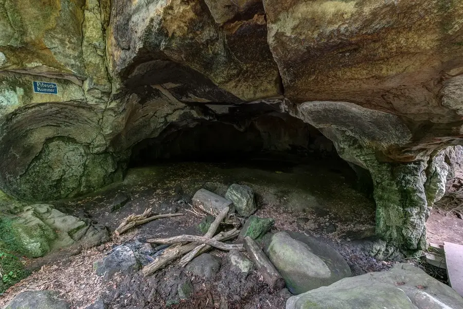
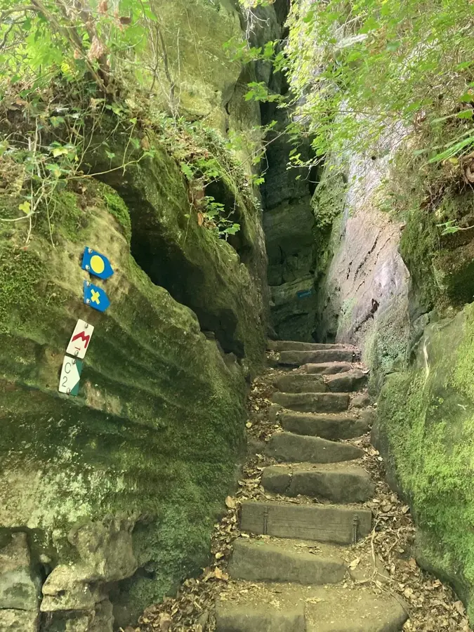
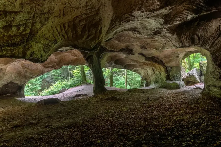
The Champagnerfiels (Champagne Rock) is a distinctive sandstone rock formation near Nommern, owing its name to its characteristic mushroom shape. This form resulted from differential erosion rates: the upper, harder layer of Luxembourg Sandstone protects the softer, narrower base from weathering. Geologically, the formation is a relic of the Liassic sea and bears witness to the tertiary uplift of the Gutland region. The rock reaches a significant height and is a popular destination for hikers in the Nommerlayen area. The surrounding landscape features additional bizarrely shaped rocks and deep crevices typical of the sandstone plateau's edges. Champagnerfiels is protected as a natural monument and is listed in the Luxembourg Geoportal, which catalogs the country's most significant geological sites. It provides an excellent view of the surrounding rolling hills and the dense forests of central Luxembourg.
- Location: Luxembourg
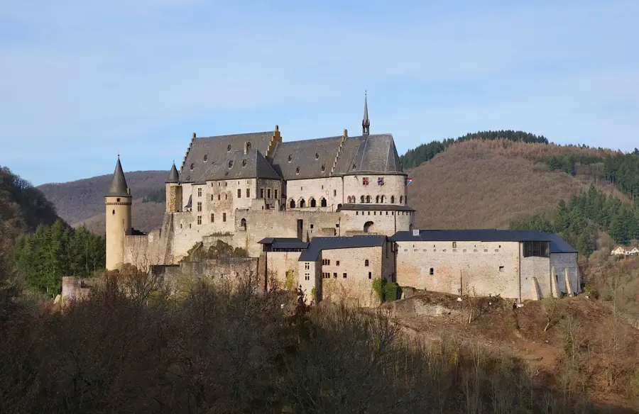
- Top sights: Maria · Amphithéatre Breechkaul · Hohllay
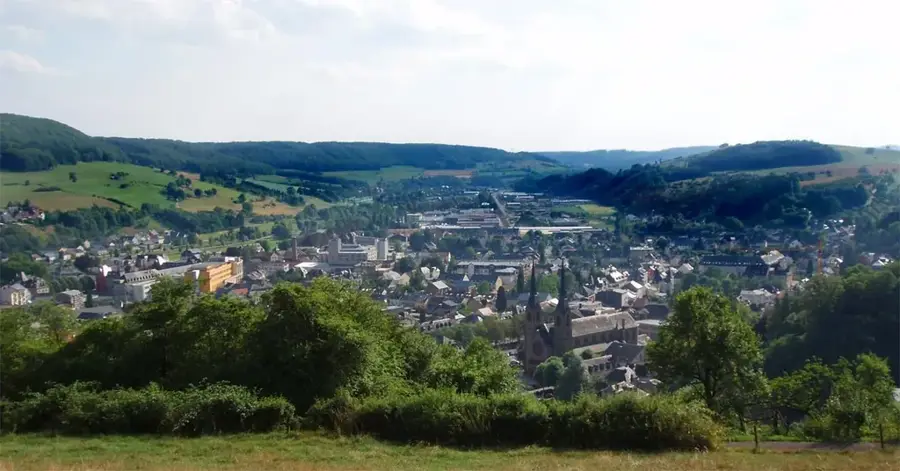
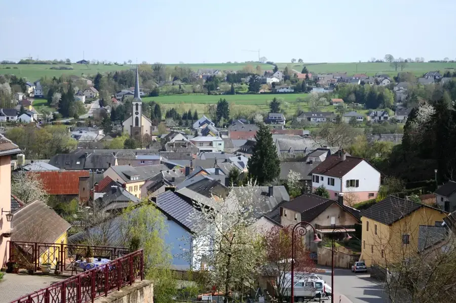
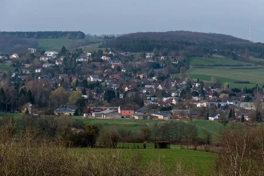
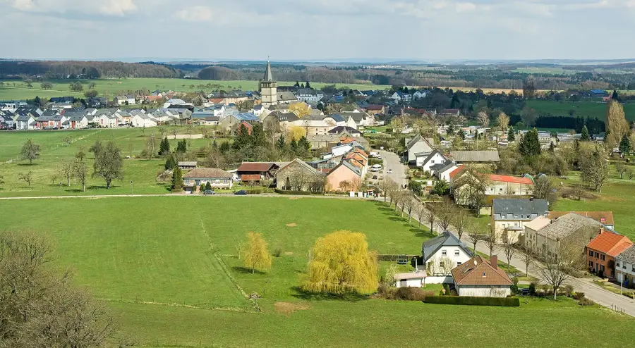
- Nearby: Consdorf (4 km)
Best time to visit & climate
The most pleasant time to visit is Jun–Aug.
| Jan | Feb | Mar | Apr | May | Jun | Jul | Aug | Sep | Oct | Nov | Dec | |
|---|---|---|---|---|---|---|---|---|---|---|---|---|
| Avg °C | 0 | 1 | 4 | 8 | 12 | 16 | 18 | 17 | 14 | 9 | 5 | 1 |
| Rain mm | 75 | 64 | 63 | 49 | 75 | 75 | 74 | 81 | 59 | 67 | 72 | 84 |
📋 Practical info
Geography
Facts
- The characteristic mushroom shape formed through differential erosion.
- The rock belongs to the Nommerlayen region in central Luxembourg.
- Harder sedimentary layers protect the softer base.
- The name refers to its resemblance to a champagne cork.
- The formation is part of the Luxembourg Sandstone plateau.
- The rock is protected as a significant natural monument.
Explore nearby
Notable places around
Route planner — Car & Motorhome
Where do you start? We build the route here, with stops and country notes along the way.
© OpenStreetMap contributors · OpenRouteService
Sights in the town Champagne Rock (10)
Véiergëtterstee vu Bäerdref
Roman four-god stone. The sandstone block bears reliefs of four Roman deities.
A Schmadds
Cultural centre in a former blacksmith's workshop. It hosts exhibitions and events.
Adlerhorst
The entire rock massif with several viewpoints is called Adlerhorst. New platform, wheelchair accessible.
Priedegtstull
Viewpoint on a rock. The name means 'pulpit' and refers to an old preaching spot.
Teufelsinsel
Rock formation with a view. The name 'Devil's Island' comes from local legends.
Dolmen
Prehistoric burial chamber made of large sandstone slabs. It lies in the forest and is freely accessible.
Sights nearby
Frequently asked questions
Why is it called Champagnerfiels?
Where exactly is Champagnerfiels located?
Is the path there marked?
Are there viewpoints there?
Is sturdy footwear necessary?
Champagne Rock: where is it located?
Champagne Rock: what is there to see?
Champagne Rock: when is the best time to visit?
Champagne Rock: why is it worth visiting?

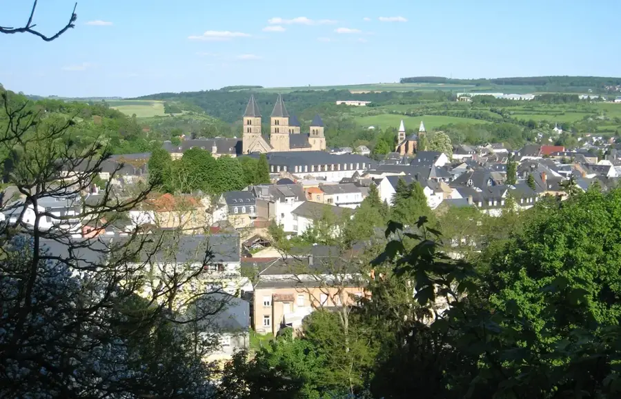
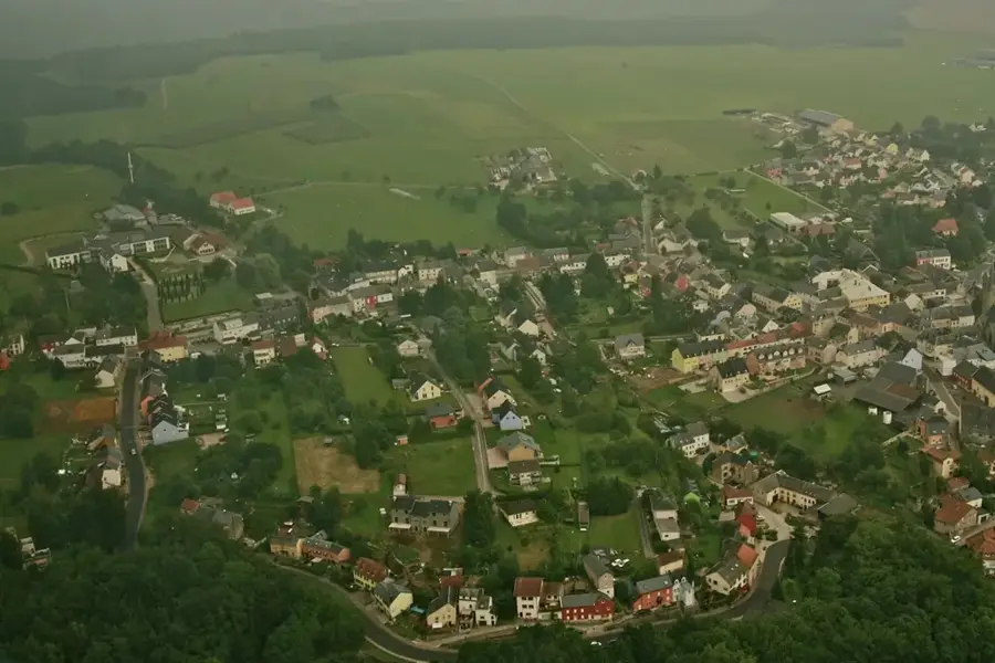
Nearby cities


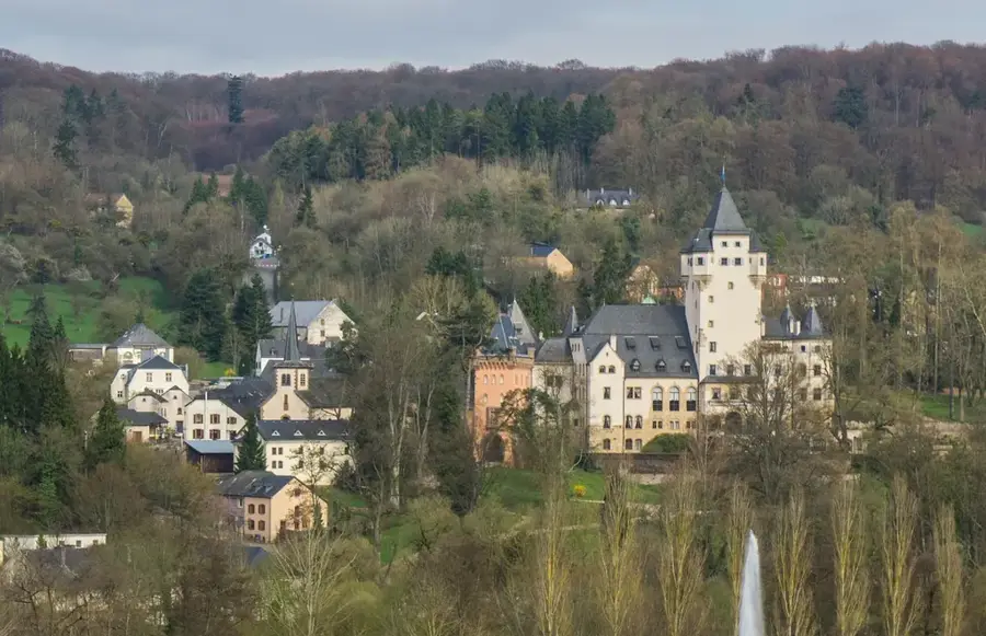
History & landmarks
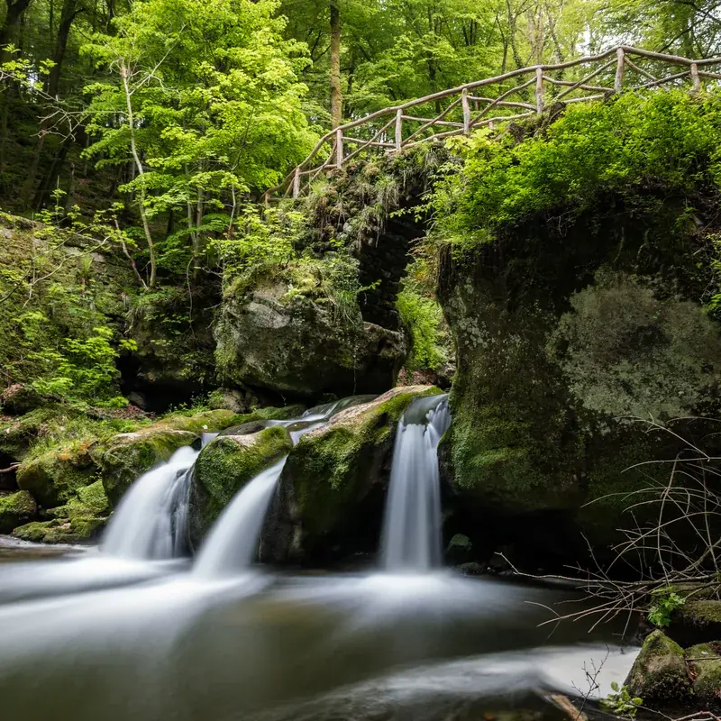
Nature
More places