Plizio Visual Lab
Mëllerdall UNESCO Global Geopark
Weather…
Water temperature…
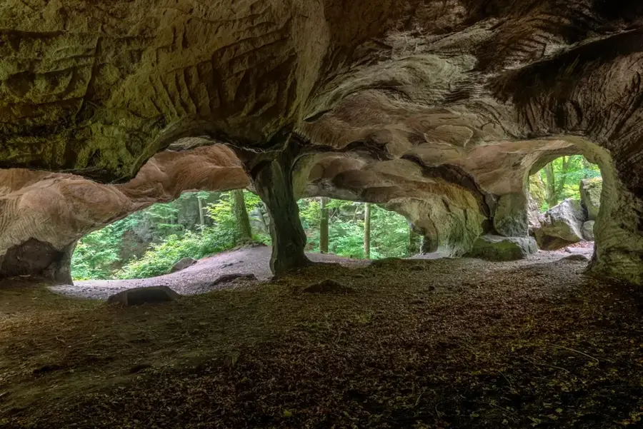
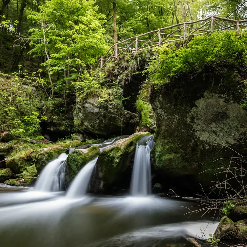
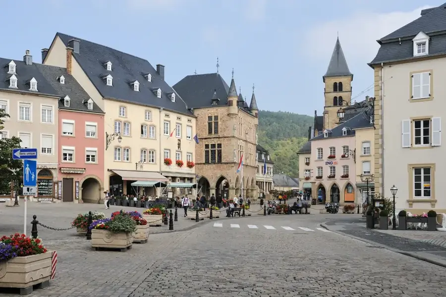
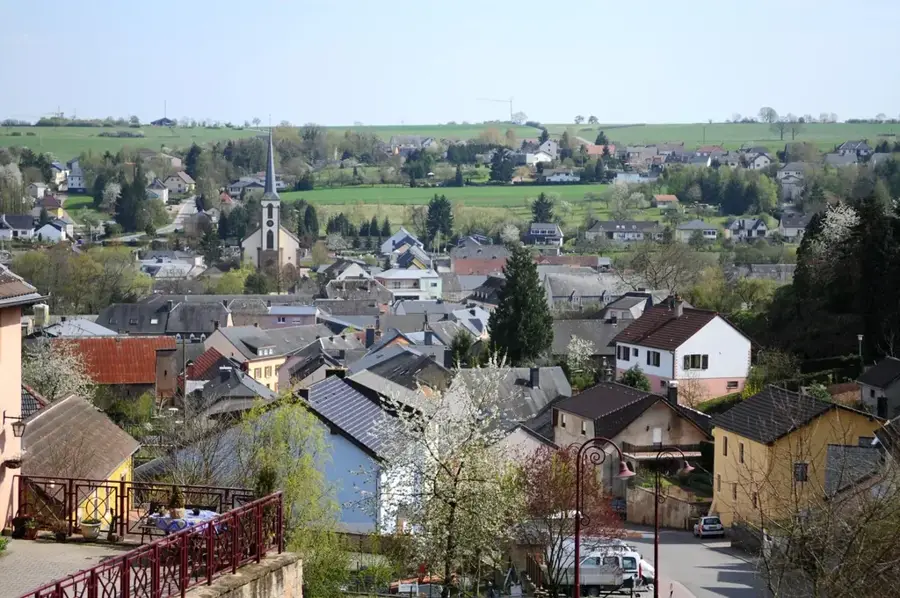
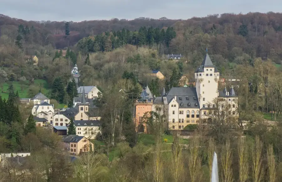
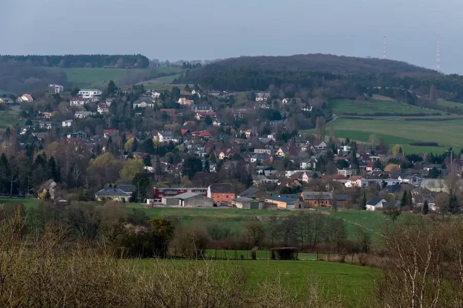
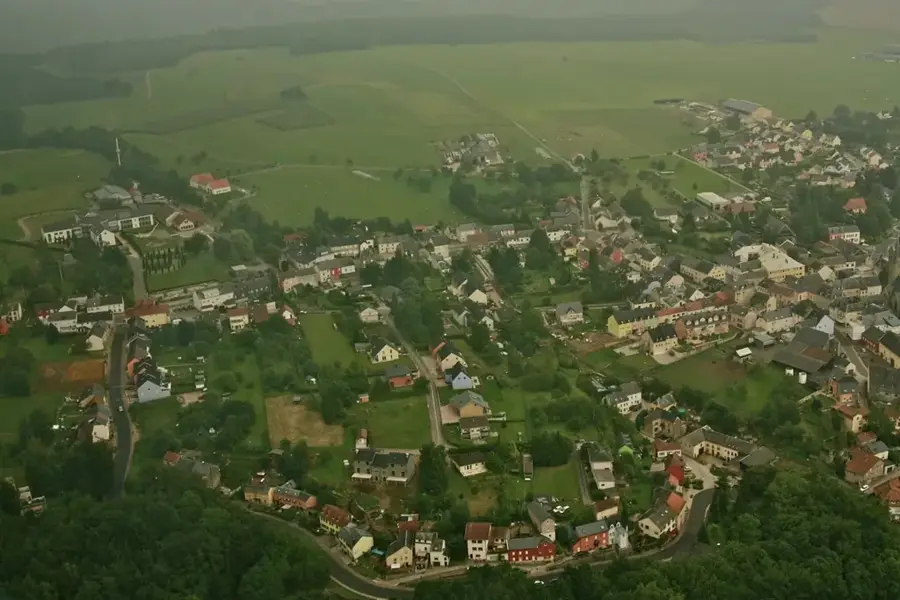
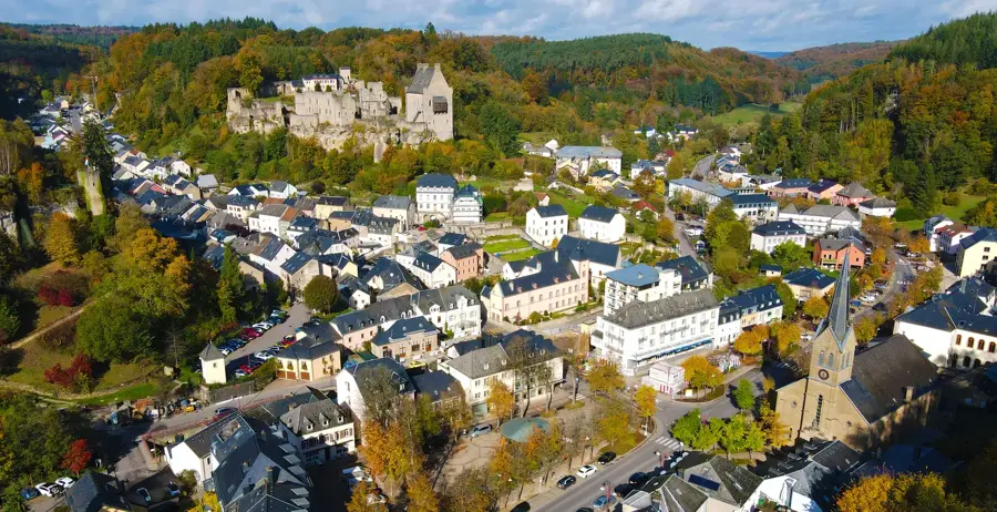
The Mellerdall Nature & Geopark in eastern Luxembourg, known as 'Little Switzerland,' is a geological and ecological jewel. The region is characterized by spectacular sandstone rock formations shaped by erosion over millions of years. Deep gorges, narrow rock crevices, and dense forests create a mystical atmosphere that attracts hikers from all over the world. The Geopark has been recognized as a UNESCO Global Geopark since 2022, underlining its international significance for geological heritage. In addition to the impressive rocks, the park is home to a variety of rare plant and animal species that find good conditions in the cool, moist gorges. The park management is strongly committed to preserving the cultural landscape and promoting sustainable tourism. Numerous well-marked hiking trails, such as the famous Mullerthal Trail, lead to the region's highlights, including the Schiessentümpel waterfall. Mellerdall thus features a first-rate combination of fascinating earth history and lively nature.
- Location: Luxembourg
- Top sights: Reimerkapp · Brenschenterlay · Jousefskierch
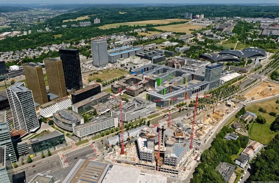
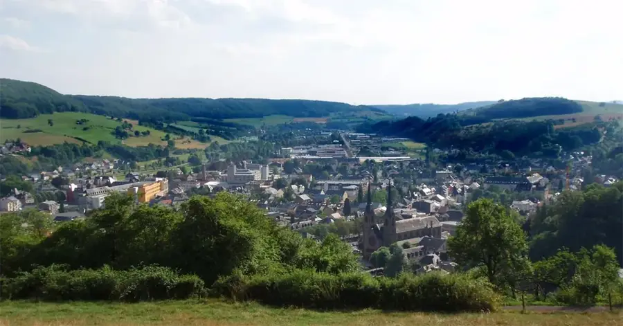
- Nearby: Consdorf (6 km)
Best time to visit & climate
The most pleasant time to visit is Jun–Aug.
| Jan | Feb | Mar | Apr | May | Jun | Jul | Aug | Sep | Oct | Nov | Dec | |
|---|---|---|---|---|---|---|---|---|---|---|---|---|
| Avg °C | 0 | 1 | 4 | 8 | 12 | 16 | 18 | 17 | 14 | 9 | 5 | 1 |
| Rain mm | 75 | 64 | 63 | 49 | 75 | 75 | 74 | 81 | 59 | 67 | 72 | 84 |
📋 Practical info
Geography
Explore nearby
Notable places around
Route planner — Car & Motorhome
Where do you start? We build the route here, with stops and country notes along the way.
© OpenStreetMap contributors · OpenRouteService
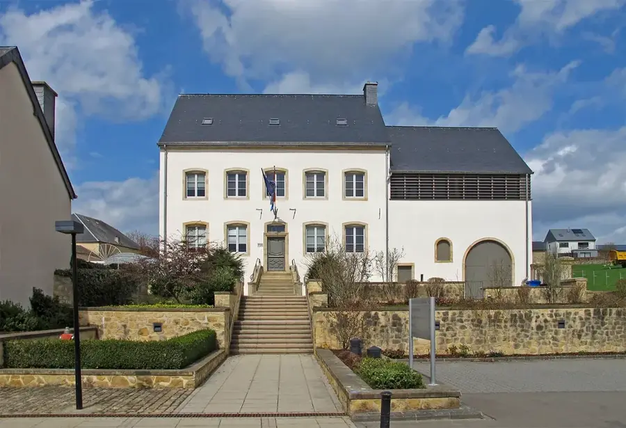
Sights in the town Mëllerdall UNESCO Global Geopark (10)
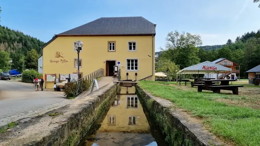
Vugelsmillen
Viewpoint in Mëllerdall, named after a former mill.
Schnellert Dolmen
Archaeological site: first excavated in 1908 as a dolmen, re-evaluated in 2000 as natural. Remains of a man and child (ca. 2700 BC) were found.
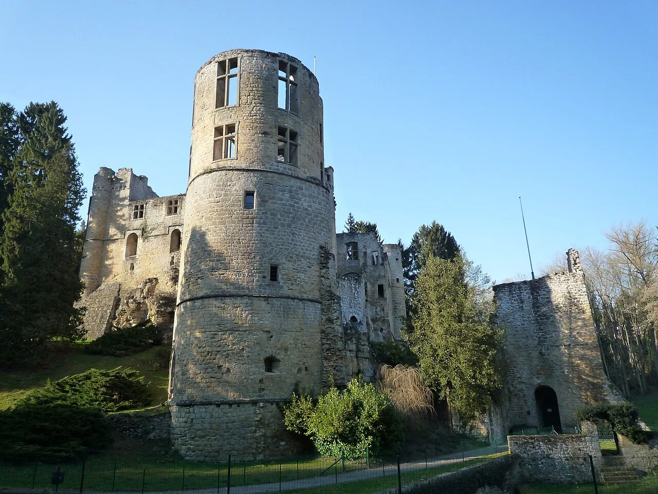
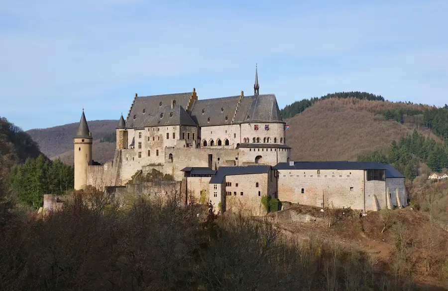
Heringerbuerg🏰 castle
Castle ruins or fortification in the Geopark area.
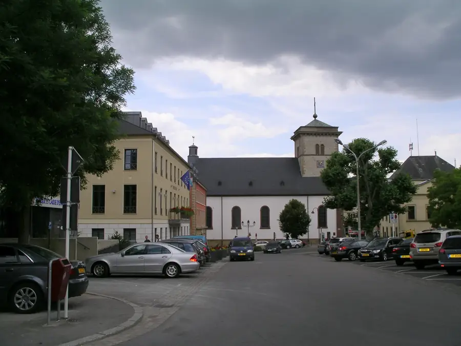
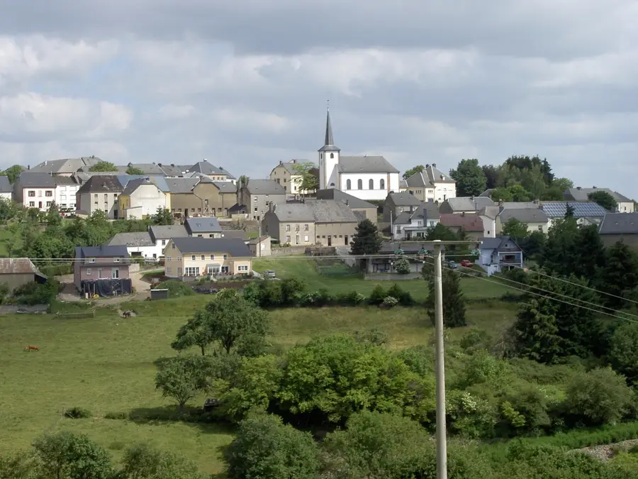
Saints-Pierre-et-Paul
Saints-Pierre-et-Paul is a church building in Luxembourg.
Hennerzoll
Attraction in the Mëllerdall UNESCO Global Geopark.
Méchelskierch
Méchelskierch is a church building in Luxembourg.
Sights nearby
Frequently asked questions
What is Mëllerdall?
Why is it called 'Little Luxembourg Switzerland'?
What is the Mullerthal Trail?
Where is the most famous waterfall?
Is the park suitable for beginners?
Mëllerdall UNESCO Global Geopark: where is it located?
Mëllerdall UNESCO Global Geopark: what is there to see?
Mëllerdall UNESCO Global Geopark: when is the best time to visit?
Mëllerdall UNESCO Global Geopark: why is it worth visiting?

Nearby cities


History & landmarks


More places