Plizio Visual Lab
St. John River Valley
Weather…
Water temperature…
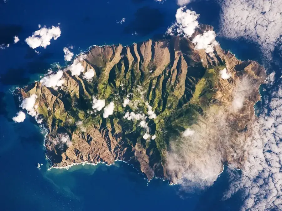
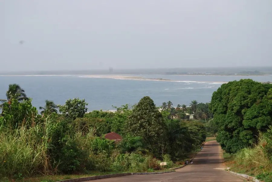
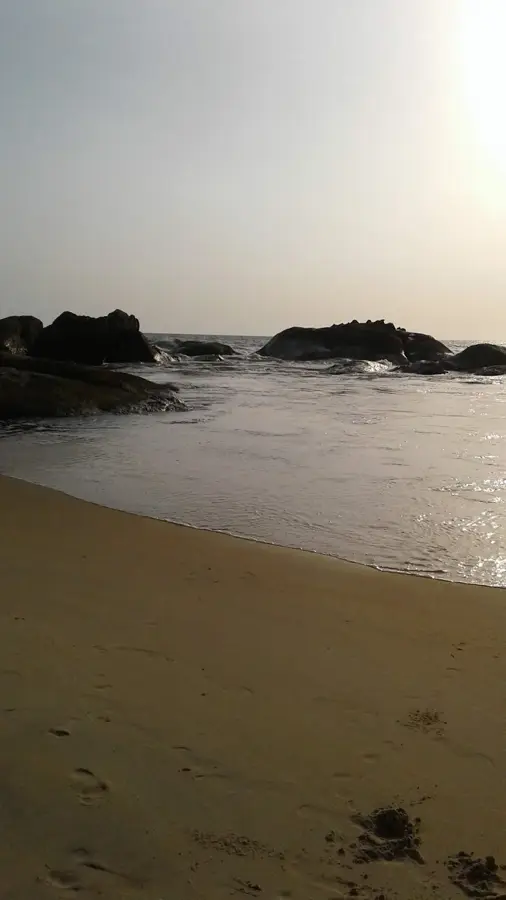
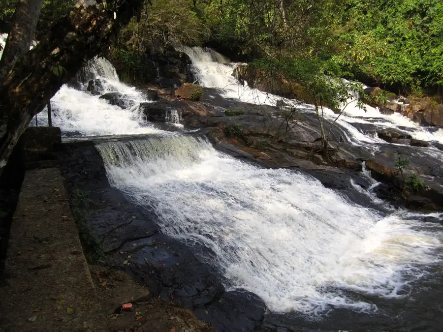
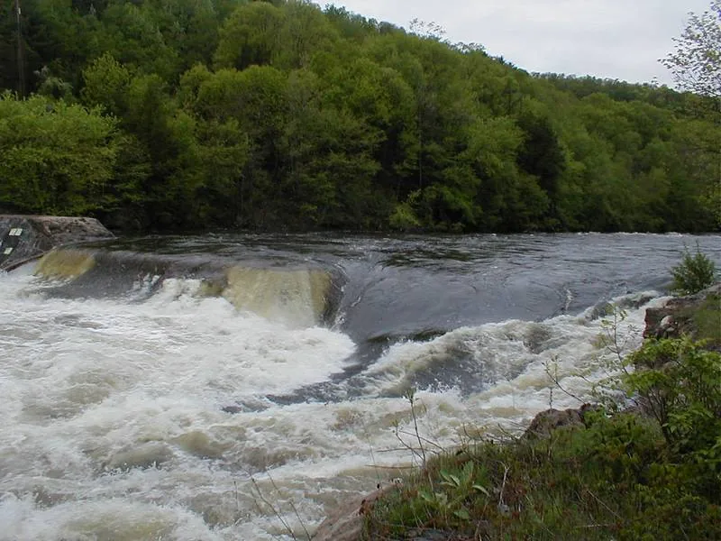
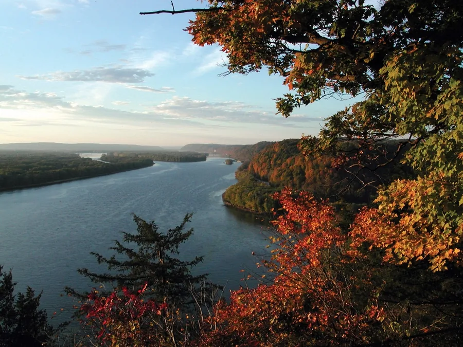
The St. John River Valley is a cornerstone of Liberia's geography, carving a deep and significant path through the country's central highlands. Surrounded by dense, lush tropical forests, the river serves as a crucial waterway for local transportation and the movement of goods. The valley is noted for its exceptionally fertile alluvial soils, which support various agricultural activities and sustain many local communities. Ecologically, it acts as a vital corridor for diverse wildlife and endemic plant species. The valley's landscape, defined by the powerful river and its surrounding greenery, has a glimpse into the raw natural beauty of the Liberian interior, remaining an essential natural resource that has shaped the region's environmental and social development.
- Location: Liberia
- Nearby: Jua (60 km)
Best time to visit & climate
The most pleasant time to visit is Jan, Feb, Dec.
| Jan | Feb | Mar | Apr | May | Jun | Jul | Aug | Sep | Oct | Nov | Dec | |
|---|---|---|---|---|---|---|---|---|---|---|---|---|
| Avg °C | 27 | 27 | 27 | 27 | 27 | 26 | 25 | 25 | 25 | 26 | 26 | 26 |
| Rain mm | 22 | 47 | 80 | 105 | 161 | 252 | 181 | 255 | 236 | 229 | 120 | 59 |
📋 Practical info
Geography
Facts
- Cocoa production share: 20%
- Hydroelectric potential: 50 MW
- Iron ore grade: 40% Fe
- Ecotourist visits per year: 500
- Forest cover: 60%
- Annual runoff: 3 billion m³
Explore nearby
Notable places around
Route planner — Car & Motorhome
Where do you start? We build the route here, with stops and country notes along the way.
© OpenStreetMap contributors · OpenRouteService
Sights nearby
Frequently asked questions
What does the St. John Valley offer?
Can you hike there?
When is the weather best?
Is a vehicle necessary?
Are there animals to see there?
St. John River Valley: where is it located?
St. John River Valley: when is the best time to visit?

Nearby cities


History & landmarks


Nature
More places