Plizio Visual Lab
Du River Floodplain
Weather…
Water temperature…
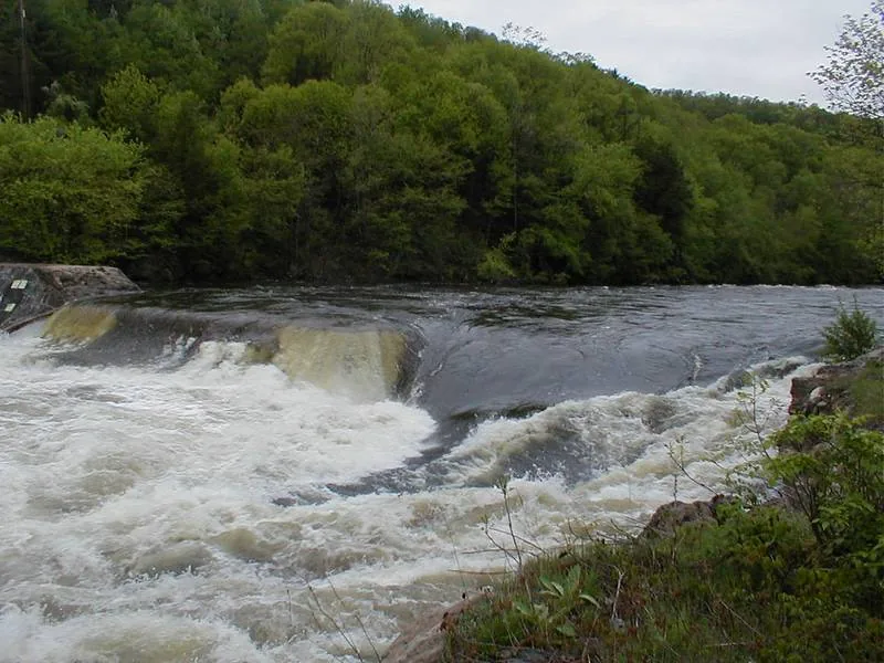
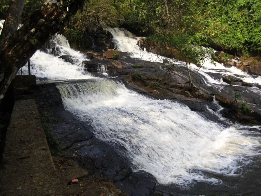
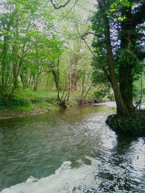
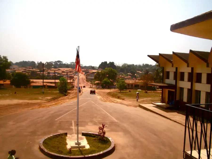
The Du River Floodplain in Liberia is an ecologically significant landscape located on the flat coastal plains near the Atlantic. During the rainy season, the Du River overflows its banks, transforming large swathes of the area into expansive wetlands that serve as a natural reservoir for excess water. These seasonal floods deposit nutrient-rich sediments, creating fertile soils that support a specialized variety of flora and fauna. The landscape is characterized by marshes, mangrove fringes, and lush grasslands, providing a sanctuary for diverse waterfowl and amphibians. Geographically, the floodplain acts as a vital transition zone between the inland hills and the coastal environment. It plays a crucial role in water purification and flood mitigation for surrounding areas. For the local population, the floodplain is essential for agricultural activities, while for nature lovers, it features a glimpse into a dynamic environment where the rhythm of the water dictates the pace of life.
- Location: Liberia
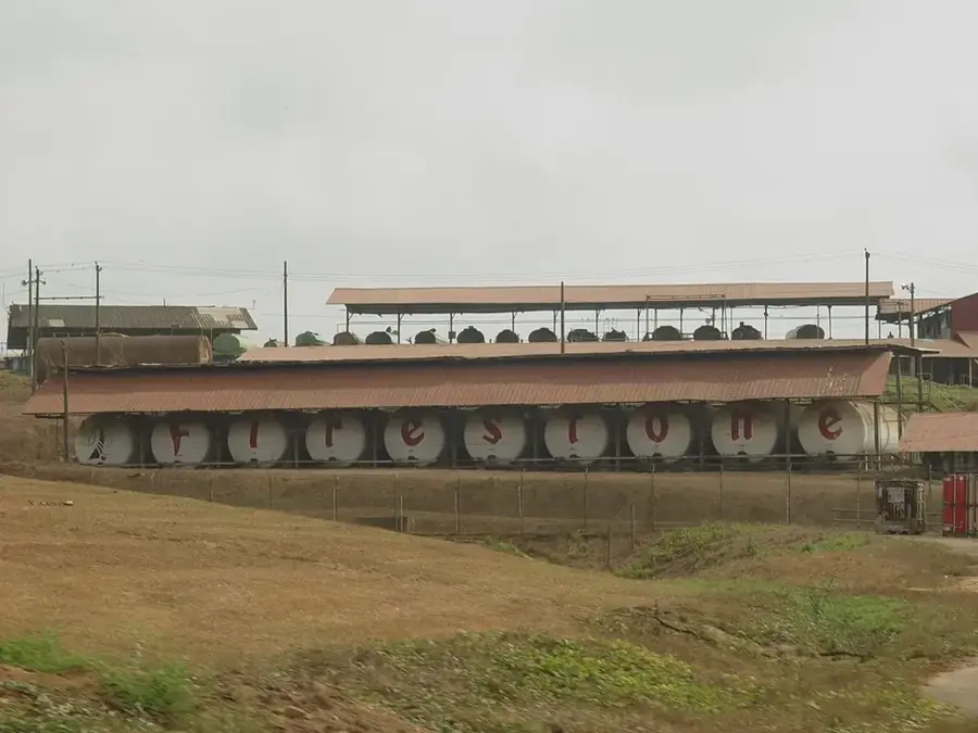
- Nearby: Marshall (8 km)
Best time to visit & climate
The most pleasant time to visit is Jan, Feb, Dec.
| Jan | Feb | Mar | Apr | May | Jun | Jul | Aug | Sep | Oct | Nov | Dec | |
|---|---|---|---|---|---|---|---|---|---|---|---|---|
| Avg °C | 27 | 27 | 28 | 28 | 28 | 27 | 26 | 26 | 26 | 27 | 27 | 27 |
| Rain mm | 12 | 25 | 45 | 62 | 113 | 212 | 185 | 287 | 224 | 196 | 84 | 42 |
📋 Practical info
Geography
Facts
- Rice production share: 15%
- Flood peak discharge: 500 m³/s
- Erosion rate: 0.5 cm/year
- Clay extraction: 5.000 tone/year
- Wetland area: 400 km²
- Annual rainfall: 2.800 mm
Explore nearby
Notable places around
Route planner — Car & Motorhome
Where do you start? We build the route here, with stops and country notes along the way.
© OpenStreetMap contributors · OpenRouteService
Sights in the town Du River Floodplain (1)
Sights nearby
Frequently asked questions
What defines the Du River floodplain?
Is the area popular with tourists?
When is the best time for birdwatching?
Do you need waterproof shoes?
How do you get there?
Du River Floodplain: where is it located?
Du River Floodplain: when is the best time to visit?
Du River Floodplain: why is it worth visiting?

Nearby cities


History & landmarks
Nature