Plizio Visual Lab
Cestos Lowlands

Weather…
Water temperature…
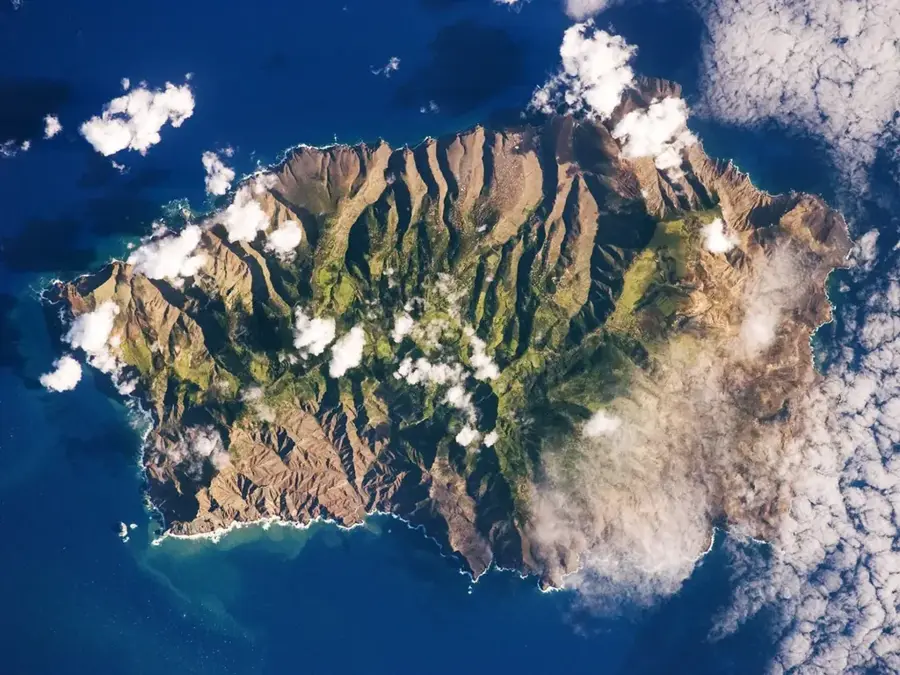
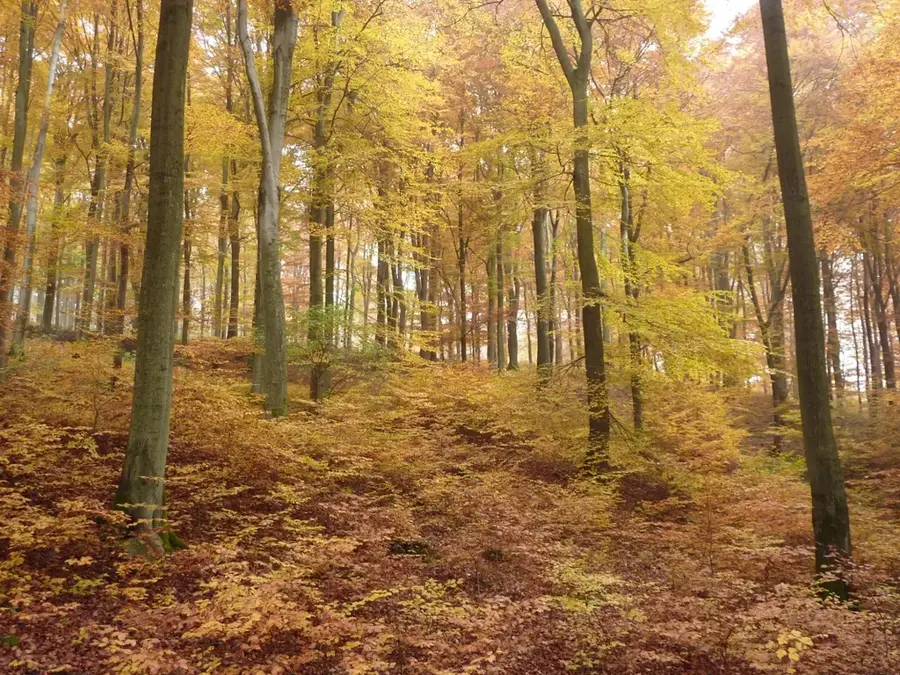
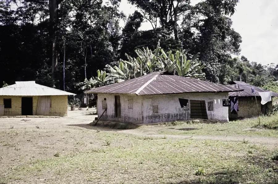
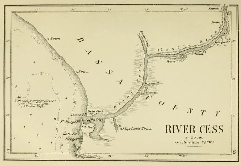
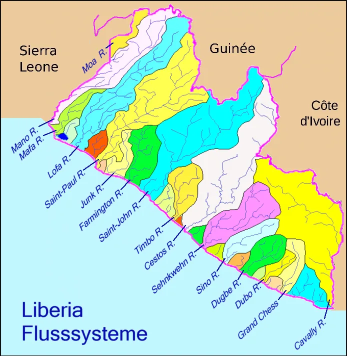
The Cestos Lowlands comprise a vast, ecologically significant region in southeastern Liberia, defined by the winding course of the Cestos River as it flows toward the Atlantic Ocean. This area is characterized by a mosaic of primary rainforests, seasonal floodplains, and extensive marshlands that support an extraordinary level of biodiversity. It is a critical habitat for numerous endangered species, including the pygmy hippopotamus and various rare primates that thrive in the undisturbed canopy. The lowlands act as a natural sponge, regulating the water flow of the river system and providing essential nutrients to the surrounding soils. Culturally, the region is home to communities that rely on traditional fishing and sustainable forest harvesting, maintaining a deep connection to the river's seasonal cycles. The terrain remains largely inaccessible by modern roads, preserving its status as one of the last true wilderness areas in West Africa and a vital part of the Upper Guinean Forest ecosystem.
- Location: Liberia
- Nearby: Cestos City (9 km)
Best time to visit & climate
The most pleasant time to visit is Jan, Feb, Dec.
| Jan | Feb | Mar | Apr | May | Jun | Jul | Aug | Sep | Oct | Nov | Dec | |
|---|---|---|---|---|---|---|---|---|---|---|---|---|
| Avg °C | 27 | 27 | 27 | 27 | 27 | 26 | 25 | 25 | 25 | 26 | 26 | 26 |
| Rain mm | 40 | 72 | 115 | 140 | 213 | 282 | 142 | 162 | 212 | 227 | 146 | 76 |
📋 Practical info
Geography
Facts
- The Cestos Lowlands extend 100 km along the coast.
- The Cestos River is 200 km long.
- Maximum elevation is 50 m.
- Annual rainfall is 3,000 mm.
- Population density is 25 people per km².
- Oil palm plantations cover 500 km².
Explore nearby
Notable places around
Route planner — Car & Motorhome
Where do you start? We build the route here, with stops and country notes along the way.
© OpenStreetMap contributors · OpenRouteService
Sights nearby
Frequently asked questions
What characterizes the Cestos lowlands?
Can the area be explored by boat?
Is the region safe?
What equipment is important?
Is the area interesting for photographers?
Cestos Lowlands: where is it located?
Cestos Lowlands: when is the best time to visit?
Cestos Lowlands: why is it worth visiting?

Nearby cities


History & landmarks

Nature
More places