Plizio Visual Lab
Zilaiskalns Ridge
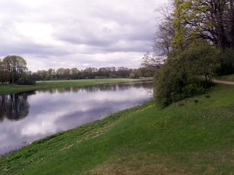
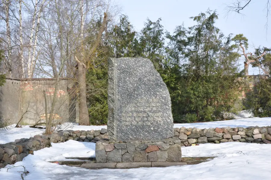
Zilaiskalns (Blue Hill) is a prominent elevation near Kocēni in northern Latvia and is regarded as one of the country's most culturally significant sites. Rising 127 meters above sea level with a relative height of 66 meters, the hill dominates the landscape of the Vidzeme region. Geologically, it is a complex formation created during the glacial retreat, sharing structural characteristics with a drumlin. In Latvian mythology and folklore, Zilaiskalns is revered as a sacred site where a major pagan sanctuary once stood. Historically, the hill served as a center for religious ceremonies and assemblies of ancient Baltic tribes. Today, the hill is covered by dense forests and is strictly protected as part of a nature reserve. A wooden observation tower on the summit gives visitors wide views over the forests reaching as far as the city of Valmiera. Scientific exploration of the archaeological layers has provided evidence of its use as a cult site for thousands of years.
- Location: Latvia
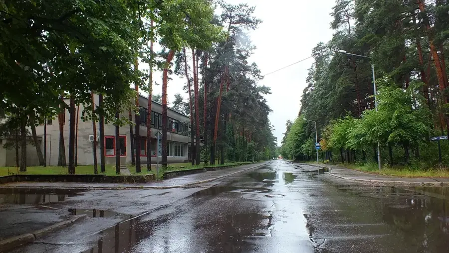
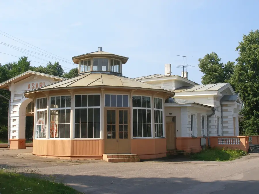
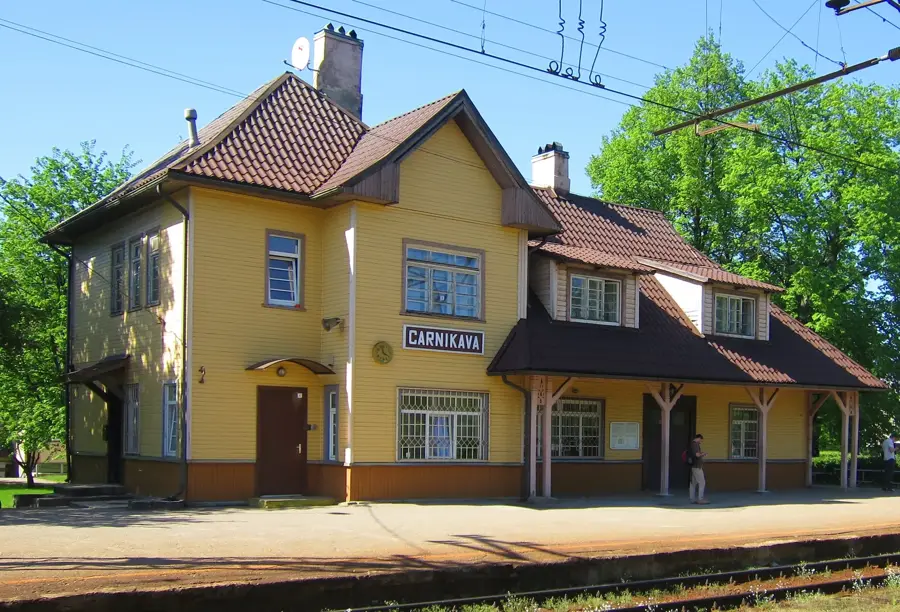
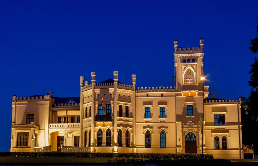
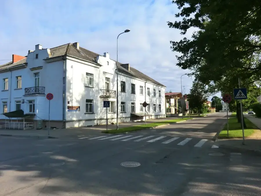
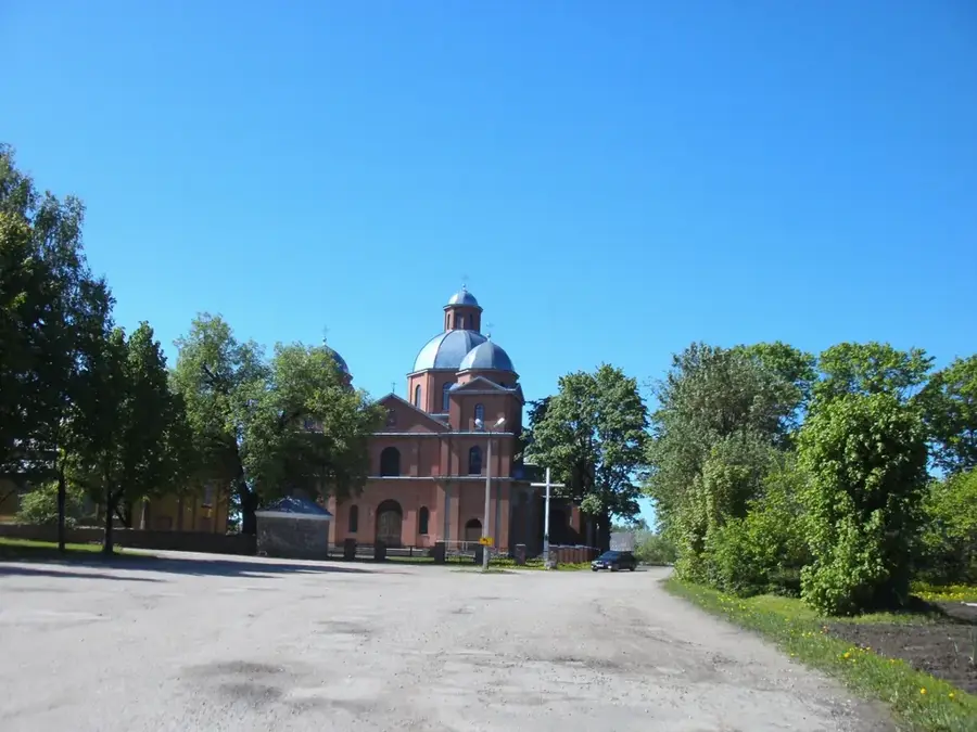
- Top sights: Lapurgu pilskalns · Dikļu kultūras nams · Dikļu pils
- Nearby: Strenči (37 km)
Best time to visit & climate
The most pleasant time to visit is Jun–Aug.
| Jan | Feb | Mar | Apr | May | Jun | Jul | Aug | Sep | Oct | Nov | Dec | |
|---|---|---|---|---|---|---|---|---|---|---|---|---|
| Avg °C | -5 | -6 | -2 | 5 | 11 | 15 | 18 | 17 | 13 | 6 | 2 | -2 |
| Rain mm | 56 | 46 | 45 | 47 | 52 | 79 | 80 | 86 | 59 | 77 | 74 | 61 |
📋 Practical info
Geography
Facts
- The absolute elevation of the hill is 127 meters above sea level.
- The relative height of the ridge is 66 meters above its surroundings.
- It is considered one of the most important sacred sites for ancient Latvians.
- Geologically, the formation resembles an elongated drumlin.
- The site is located about 12 kilometers west of the city of Valmiera.
- A historical geodetic survey point is located on the summit.
Explore nearby
Notable places around
Route planner — Car & Motorhome
Where do you start? We build the route here, with stops and country notes along the way.
© OpenStreetMap contributors · OpenRouteService
Sights in the town Zilaiskalns Ridge (4)
Sights nearby
Frequently asked questions
Why is Zilaiskalns historically significant?
Is there an observation tower on the hill?
Can you cycle to the summit?
Is there a visitor center?
Is the place suitable for hiking?
Zilaiskalns Ridge: where is it located?
Zilaiskalns Ridge: what is there to see?
Zilaiskalns Ridge: when is the best time to visit?
Zilaiskalns Ridge: why is it worth visiting?

Nearby cities