Plizio Visual Lab
Kalēti Rise
Weather…
Water temperature…
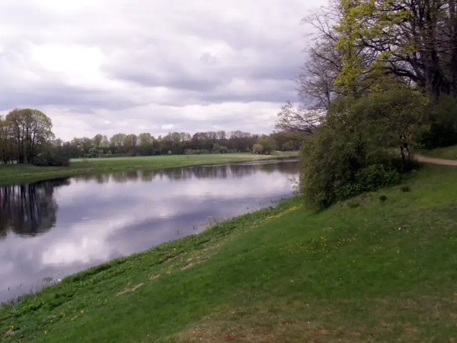
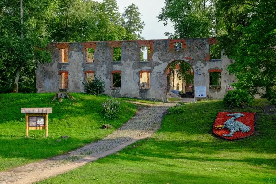
The Kalēti Rise, locally known as Kalētu pauguraine, is located in southwestern Latvia, serving as a transitional landscape between the Western Courland Highland and the Coastal Lowland. This hilly terrain was formed by glaciostructural processes at the end of the last ice age, leaving behind a series of gentle ridges and depressions. Elevations typically range from 40 to 65 meters above sea level, providing a rolling landscape that stands out from the flat coastal areas to the west. The soil consists primarily of glacial till and loamy sands, making it one of the most fertile areas in the region for grain production. The rise is drained by several small streams that flow into the Bārta and Sventāja rivers, having carved shallow valleys into the soft glacial deposits. A notable feature of the local flora is the presence of ancient oak and hornbeam forests, which thrive in the slightly warmer southern climate. Historically, the area was densely populated since the Iron Age, with several hillforts and burial mounds testifying to its long human history. Today, the Kalēti Rise is valued for its agricultural productivity and its well-preserved traditional rural landscape.
- Location: Latvia
- Nearby: Kalēti (11 km)
Best time to visit & climate
The most pleasant time to visit is Jun–Aug.
| Jan | Feb | Mar | Apr | May | Jun | Jul | Aug | Sep | Oct | Nov | Dec | |
|---|---|---|---|---|---|---|---|---|---|---|---|---|
| Avg °C | -2 | -2 | 1 | 5 | 11 | 15 | 18 | 18 | 14 | 9 | 5 | 1 |
| Rain mm | 65 | 46 | 45 | 35 | 42 | 57 | 75 | 78 | 65 | 83 | 78 | 74 |
📋 Practical info
Geography
Facts
- The Kalēti Rise reaches its peak elevation at 66 meters above sea level.
- It belongs to the geomorphological unit of the Venta-Usma lowland border.
- The area is famous for the Kalēti Forest Park with rare tree species.
- Glacial till deposits here are among the thickest in southwestern Latvia.
- The region has been a significant agricultural center for over 500 years.
- Local microclimatic conditions favor more temperate vegetation types.
Explore nearby
Notable places around
Route planner — Car & Motorhome
Where do you start? We build the route here, with stops and country notes along the way.
© OpenStreetMap contributors · OpenRouteService
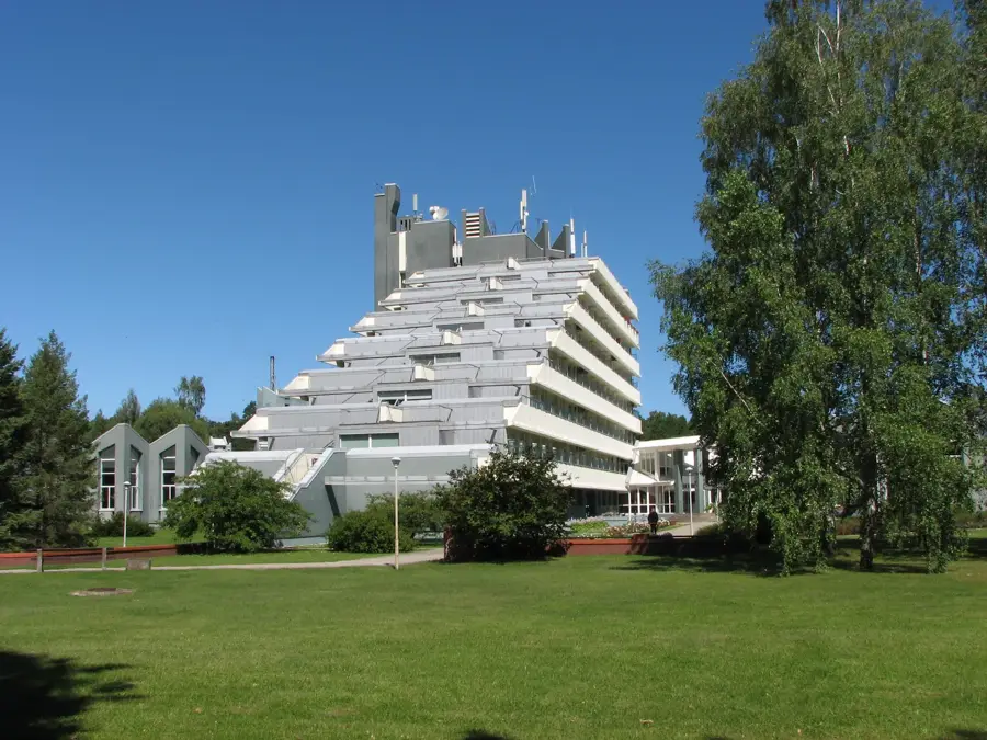
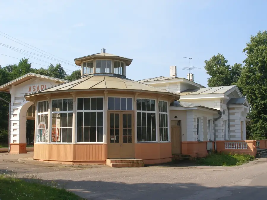
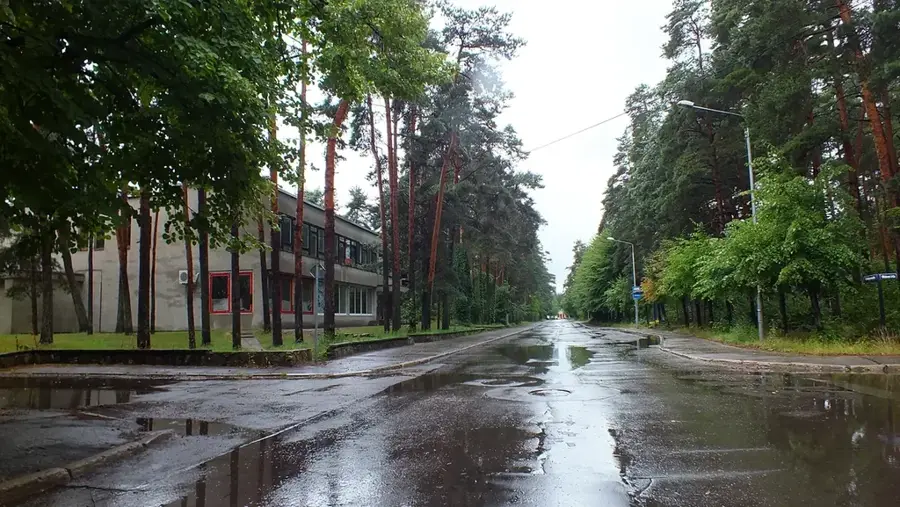
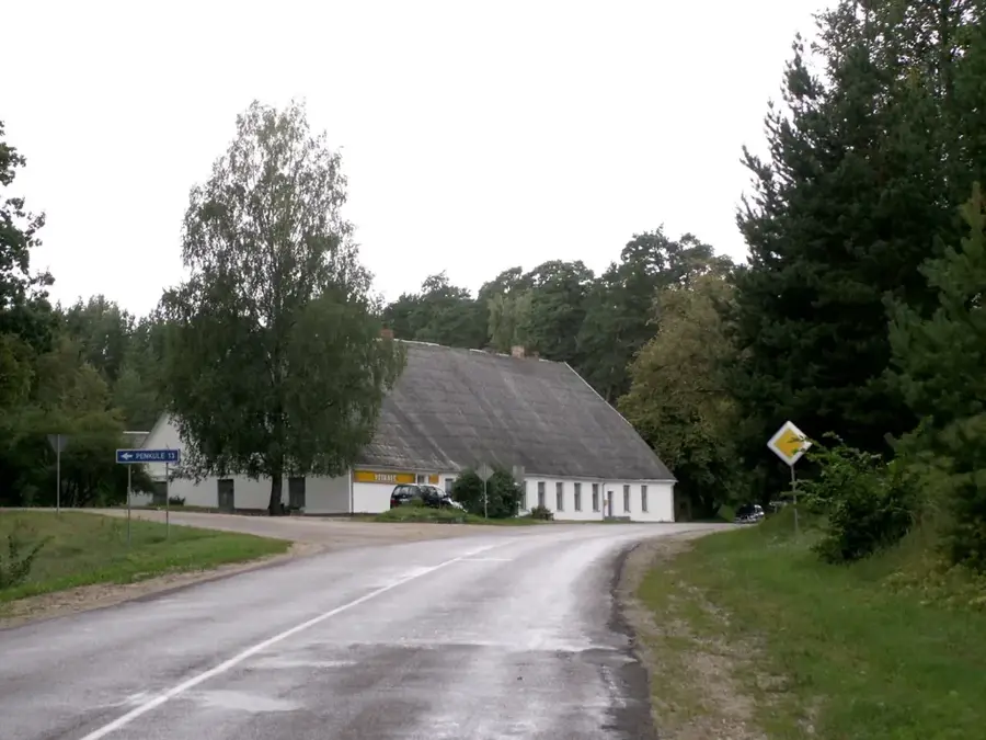
Sights in the town Kalēti Rise (1)
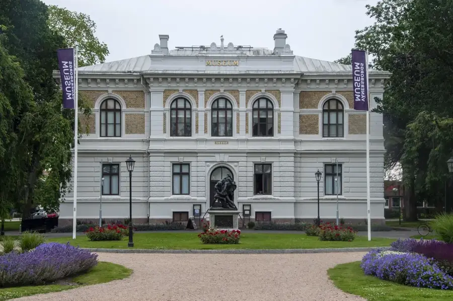
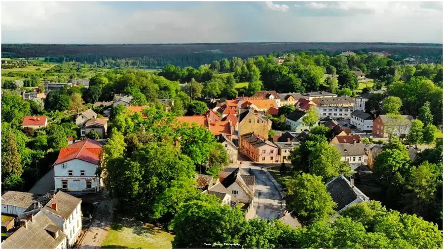
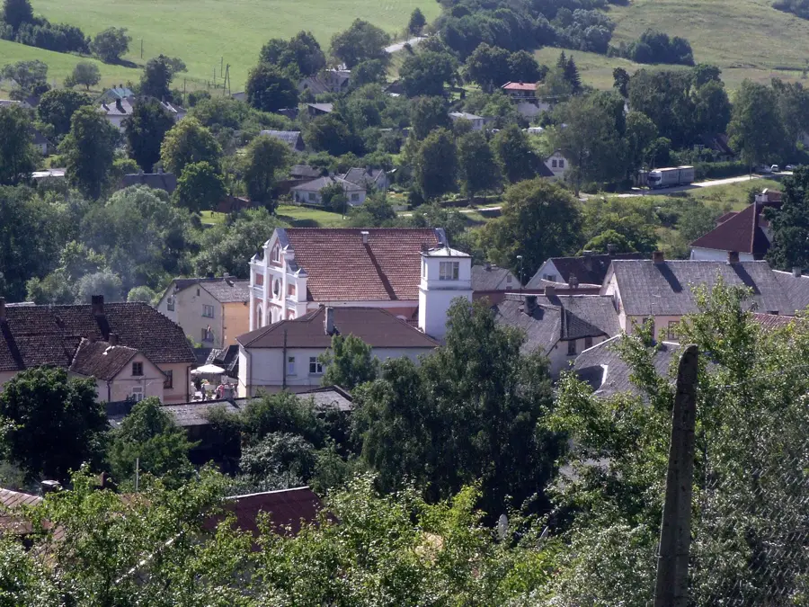
Sights nearby
Frequently asked questions
What is the Kalēti Rise?
Is there a forest park in Kalēti?
Is the rise suitable for families?
What animals can be discovered here?
When do the anemones bloom on the rise?
Kalēti Rise: where is it located?
Kalēti Rise: when is the best time to visit?
Kalēti Rise: why is it worth visiting?

Nearby cities