Plizio Visual Lab
Kalēti Ridge

Weather…
Water temperature…
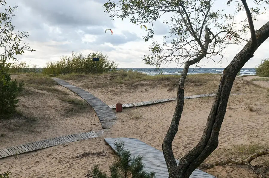
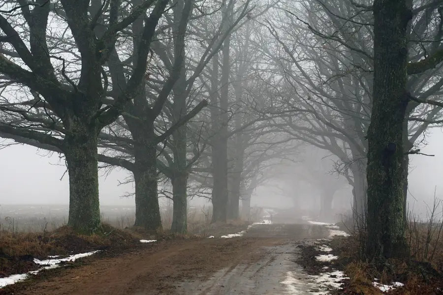
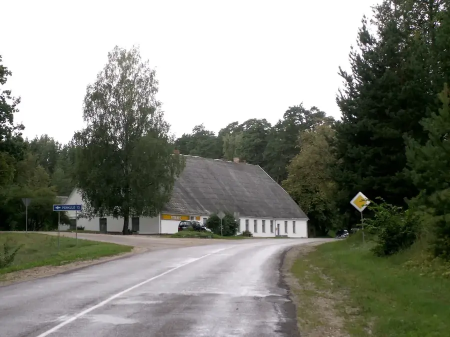
The Kalēti Ridge is a significant geological formation in the extreme southwest of Latvia, near the Lithuanian border in the Priekule municipality. This ridge is part of the West Courland Upland and is distinguished by its gentle chains of hills that form a natural barrier. The formation was created by glacial deposits at the end of the last ice age, which produced a varied topography of heights and small depressions. The region around Kalēti is known for its vast pine forests and rich local fauna, making the ridge an ecologically valuable area. Historically, the ridge was a border zone shaped by various cultural influences. Today, the area is primarily used for forestry and nature conservation, with the Kalēti Forest Park being a popular destination for hikers. The elevation provides protection from strong sea winds, thereby influencing the local vegetation, which is particularly robust and diverse in this area.
- Location: Latvia
- Top sights: Raču apmetne · Kalētu pilskalns · Saušu apmetne
- Nearby: Kalēti (9 km)
Best time to visit & climate
The most pleasant time to visit is Jun–Aug.
| Jan | Feb | Mar | Apr | May | Jun | Jul | Aug | Sep | Oct | Nov | Dec | |
|---|---|---|---|---|---|---|---|---|---|---|---|---|
| Avg °C | -2 | -2 | 1 | 5 | 11 | 15 | 18 | 18 | 14 | 9 | 5 | 1 |
| Rain mm | 65 | 46 | 45 | 35 | 42 | 57 | 75 | 78 | 65 | 83 | 78 | 74 |
📋 Practical info
Geography
Facts
- Located in the Priekule municipality in southwestern Latvia.
- Part of the West Courland Upland.
- The highest point of the ridge is approximately 55 meters.
- Consists predominantly of sandy sediments from the glacial period.
- The Kalēti Forest Park contains rare tree species.
- Serves as a habitat for moose and deer.
Explore nearby
Notable places around
Route planner — Car & Motorhome
Where do you start? We build the route here, with stops and country notes along the way.
© OpenStreetMap contributors · OpenRouteService
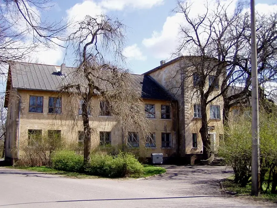
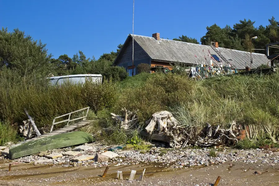
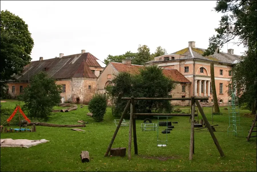
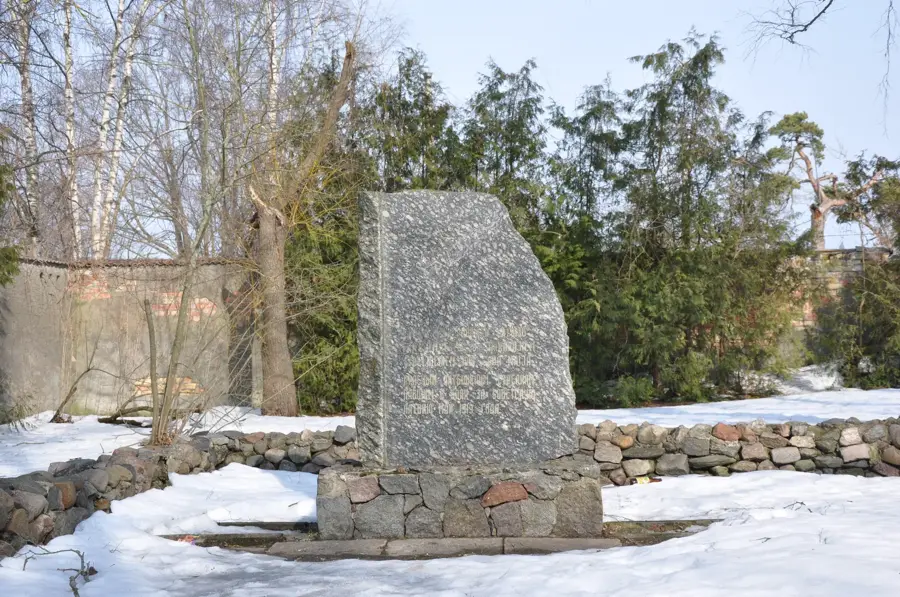
Sights in the town Kalēti Ridge (3)
Saušu apmetne
Archaeological settlement on the Kalēti Ridge, remains of an ancient dwelling.
Sights nearby
Frequently asked questions
What is the Kalēti Ridge?
What is the soil like on the Kalēti Ridge?
Does the ridge provide protection for agriculture?
Can you go mountain biking there?
What kind of view is there towards Lithuania?
Kalēti Ridge: where is it located?
Kalēti Ridge: what is there to see?
Kalēti Ridge: when is the best time to visit?
Kalēti Ridge: why is it worth visiting?

Nearby cities