Plizio Visual Lab
Iecava Hilly Terrain
Plizio editorial teamData Sources
Mountain
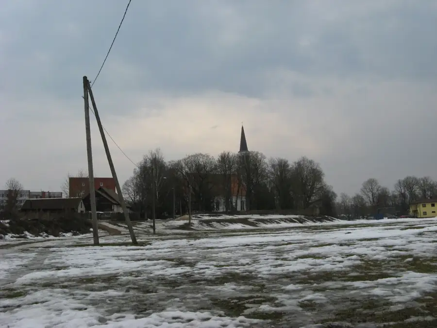
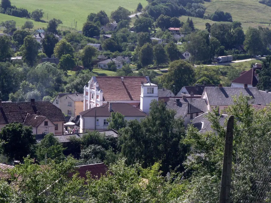
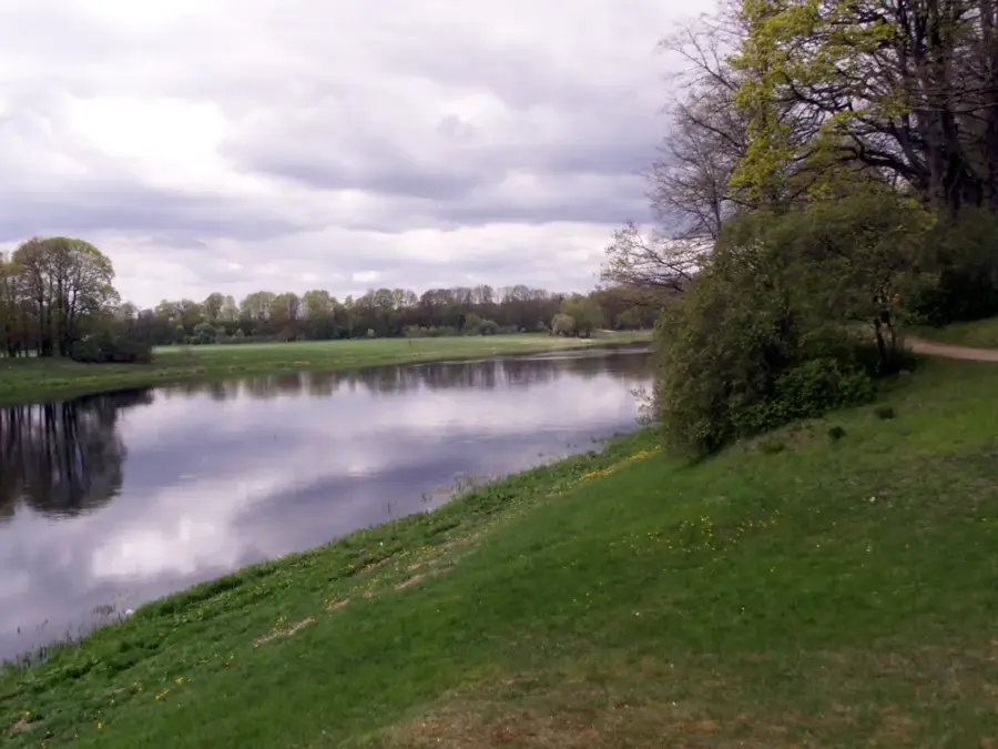
The Iecava Hilly Terrain (Iecavas pauguraine) stretches across the southern portion of the Middle Latvian Lowland, serving as a significant transition zone between various geomorphological units. This region is characterized by a gently undulating topography formed by the deposition of glacial sediments during the Pleistocene epoch. The average elevation of the hills varies between 30 and 50 meters, with valleys often intersected by small tributaries of the Iecava River. The area is intensively used for agriculture due to its highly fertile loamy soils, which historically established the region as a center for grain production. Alongside agricultural fields, remnants of deciduous mixed forests provide vital habitats for local wildlife. The hydrological dynamics of the area are primarily influenced by the Iecava River, which has shaped the landscape over millennia. In modern regional planning, the Iecava Hilly Terrain acts as a buffer zone for nature conservation and a designated space for sustainable farming practices.
- Location: Latvia
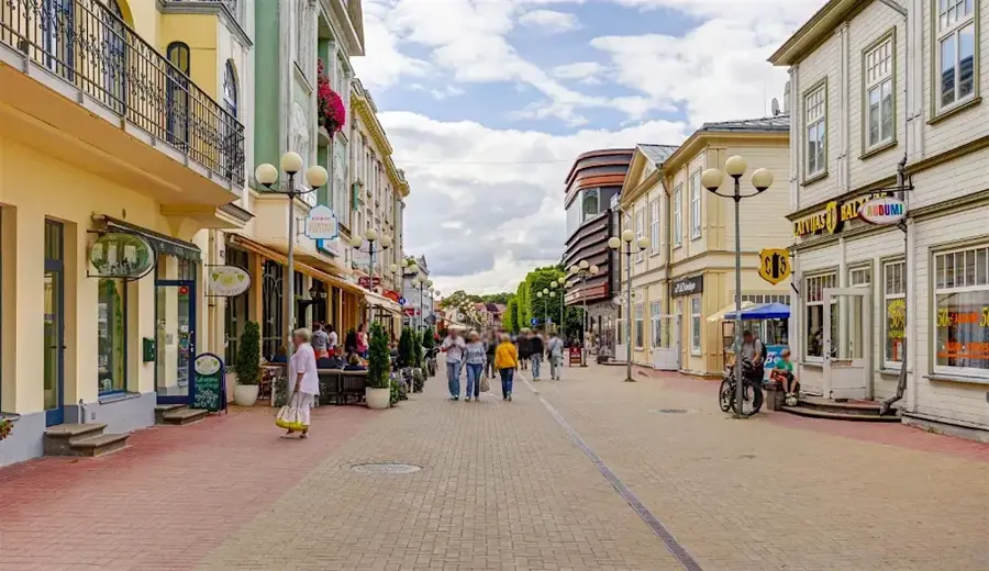
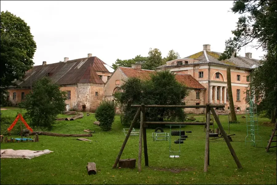
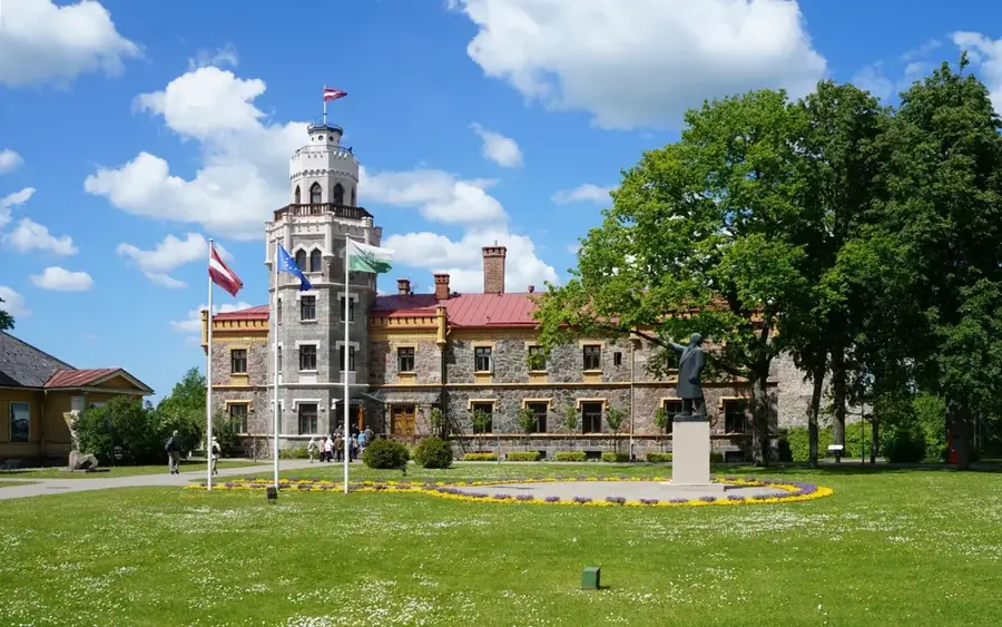
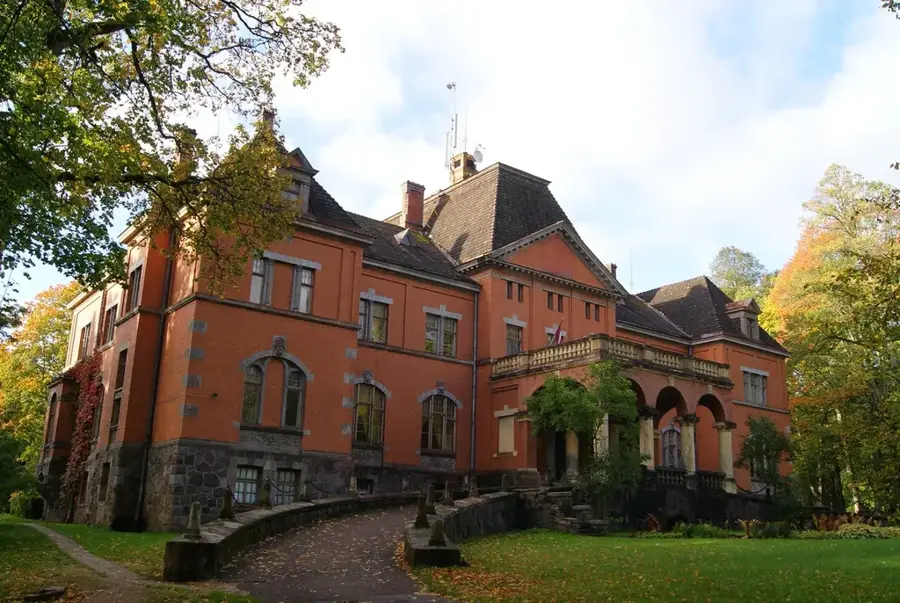
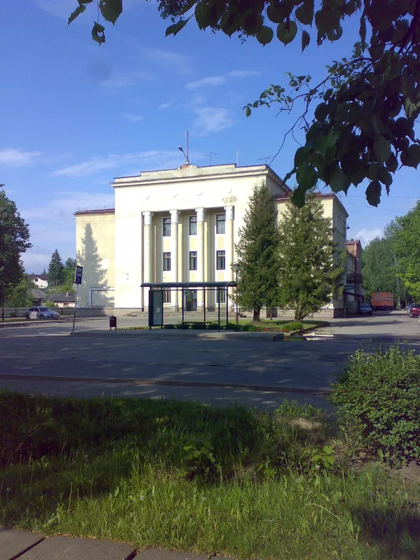
- Top sights: Kultūras nams · Iecavas estrāde · Iecavas pils - Zaļais labirints
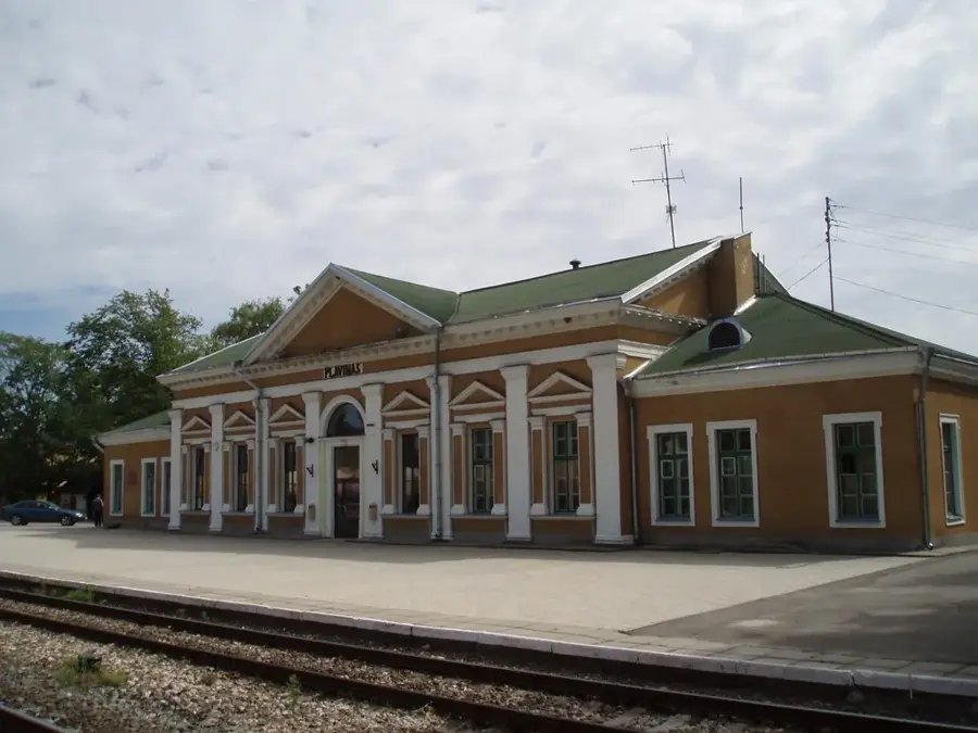
- Nearby: Galdnieki (13 km)
Best time to visit & climate
The most pleasant time to visit is Jun–Aug.
| Jan | Feb | Mar | Apr | May | Jun | Jul | Aug | Sep | Oct | Nov | Dec | |
|---|---|---|---|---|---|---|---|---|---|---|---|---|
| Avg °C | -5 | -5 | -1 | 6 | 12 | 16 | 18 | 17 | 13 | 6 | 2 | -2 |
| Rain mm | 50 | 42 | 40 | 44 | 52 | 74 | 81 | 74 | 52 | 67 | 64 | 53 |
📋 Practical info
Getting there
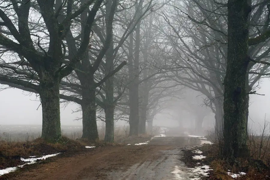
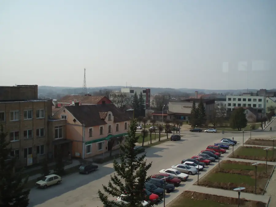
Located firmly within the generally flat Zemgale Plain, this area is accessible via regional roads connecting the local agricultural towns. Finding the specific moraine-related irregularities may require cautiously branching off onto smaller, unpaved local dirt access paths.
Best season
Spring and summer are highly recommended, as the clear weather allows you to better perceive the subtle moraine irregularities against the flat plains. Visiting during dry weather absolutely ensures that the unpaved local tracks remain easily passable for cars and walkers.
Terrain & paths
Despite the broader flat character of the Zemgale Plain, you will certainly encounter slight undulations and small moraine ridges during your walk. The paths are typically dirt tracks or field edges that gently rise and fall directly across these ancient glacial remnants.
What to bring
Sturdy walking shoes are absolutely convenient for traversing the mixed dirt and grass surfaces found beautifully across these subtle moraine-related irregularities. A windproof jacket is often quite useful, as the open agricultural plains can be surprisingly breezy in any season.
Parking
Finding a spot to confidently leave your car usually involves utilizing the wide shoulders on rural roads or parking quietly in nearby small municipal areas. Carefully ensure you always respect private agricultural boundaries when leaving your vehicle to enthusiastically explore.
Safety
The remarkably mild landscape genuinely presents almost zero risk of falling or physical exhaustion during a typical countryside nature walk. Visitors should simply remain fully aware of their surroundings, particularly if calmly walking along dirt tracks shared with local vehicles.
Time needed
Exploring these surprisingly subtle geological features usually takes somewhere between one and two hours for a leisurely nature walk across the plain. True geology enthusiasts might easily spend a bit more time closely observing how the unique moraine irregularities shape the land.
Geography
Facts
- The hills reach elevations ranging from 30 to 50 meters.
- It belongs to the Middle Latvian Lowland geomorphological unit.
- The relief was shaped by deposits during the last glacial period.
- The namesake Iecava River has a total length of 136 kilometers.
- The region contains some of the most fertile loamy soils in Latvia.
- South of Iecava, the terrain transitions into the Upmale Plain.
Explore nearby
Notable places around
Route planner — Car & Motorhome
Where do you start? We build the route here, with stops and country notes along the way.
Vehicle
Only stops with (optional):
© OpenStreetMap contributors · OpenRouteService
Sights in the town Iecava Hilly Terrain (4)
Sights nearby
Frequently asked questions
What is the Iecava Hillock area?
It is a gentle hilly landscape formed by glacial deposits.
Are there any rivers?
Yes, the Iecava River winds through this region.
What activities are available there?
Hiking, nature photography, and cycling on local roads are good.
Is the region agricultural?
Yes, you find an alternation of fields, meadows, and small forest patches.
How far is it to Bauska?
The hillock area is north of Bauska, about a 20-30 minute drive away.
Iecava Hilly Terrain: where is it located?
Iecava Hilly Terrain is located in Latvia.
Iecava Hilly Terrain: what is there to see?
Highlights include Kultūras nams, Iecavas estrāde, Iecavas pils - Zaļais labirints.
Iecava Hilly Terrain: when is the best time to visit?
The most pleasant time to visit is Jun, Aug.
Iecava Hilly Terrain: why is it worth visiting?
The Iecava Hilly Terrain (Iecavas pauguraine) stretches across the southern portion of the Middle Latvian Lowland, serving as a significant transition zone between various geomorphological units.

Explore with Plizio
Discover more places in Europe
More places in Latvia →
Nearby cities
Lielupe
Lielupe is an upscale coastal neighborhood in Jūrmala where the Lielupe River meets the Baltic Sea, offering river and sea recreation.
Priedaine
Priedaine is a residential area near Jūrmala.
Asari
Asari is a charming, historic part of Jūrmala, known for its strawberry-growing heritage and peaceful sandy shores.
Vaivari
A peaceful seaside neighborhood in Jūrmala, renowned for its rehabilitation center and white quartz sand beach.
Laidi
Laidi is located in western Latvia in Kurzeme.
Kaugurciems
Kaugurciems is a tranquil coastal neighborhood in Jūrmala, offering wide sandy beaches and a peaceful Baltic Sea atmosphere.
Buļļi
Buļļi is a tranquil coastal area on the Latvian Baltic coast, known for its wide sandy beaches and peaceful, natural atmosphere.

Sigulda Tourism Hub
Sigulda functions as an important economic node for the tourism industry.
Sigulda Town
The town area of Sigulda is situated within the Gauja National Park.
Pelči
Pelči is located near Kuldīga.
Zirņi
Zirņi is located near Saldus.
Talsi
Talsi is located in western Latvia and is known as the town on nine hills.
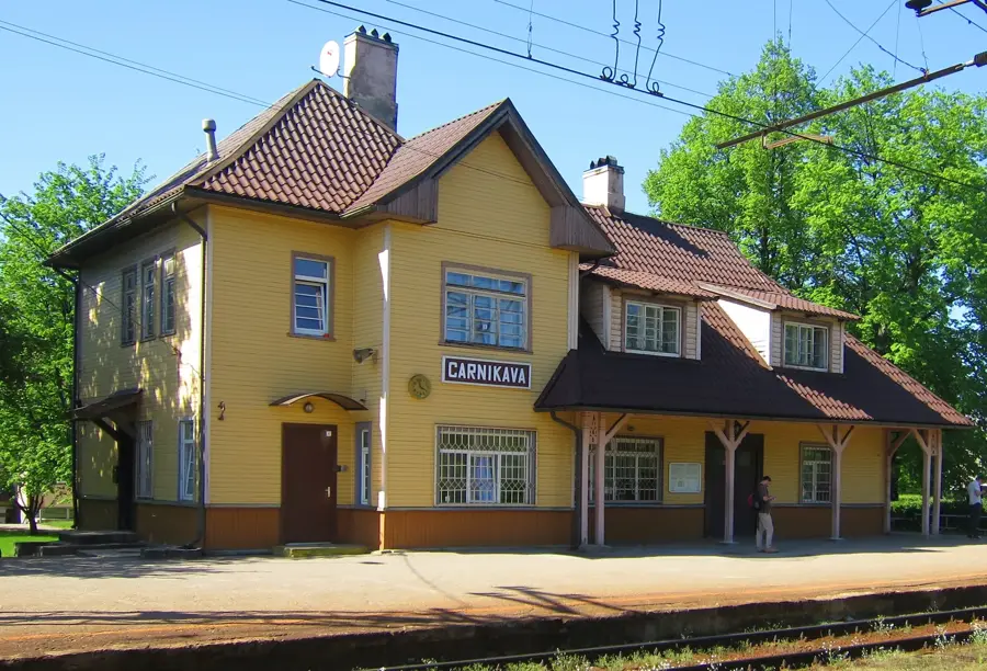
Carnikava
A gateway to the Piejūra Nature Park, famous for its lamprey delicacies and the mouth of the Gauja River.
Krustpils
Krustpils is a historical part of Jēkabpils on the banks of the Daugava River.
Madona
Madona is a town in the eastern Vidzeme region.