Plizio Visual Lab
Eleja Ridge
Weather…
Water temperature…
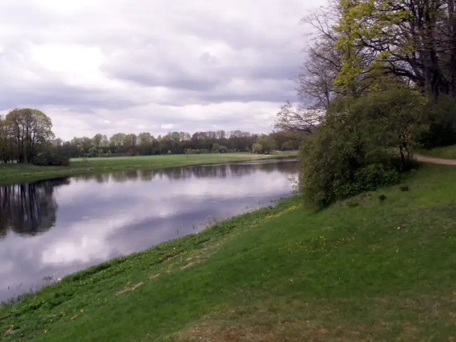
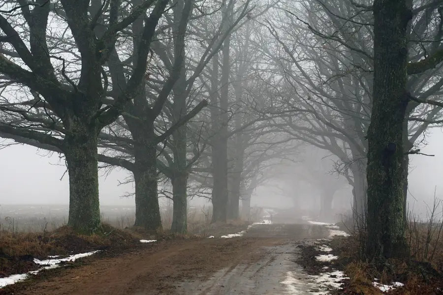
The Eleja Ridge is a distinct geomorphological formation located in southern Latvia, near the Lithuanian border in the Jelgava municipality. This terrain feature is part of the Semigallia Plain and is characterized by its gentle but steady elevations, which contrast with the otherwise flat surrounding landscape. Geologically, the ridge was formed by the movements of glaciers during the last ice age, which deposited sediments and moraine material in this specific orientation. The region around Eleja is historically known for its fertile soils, making the ridge an important location for agriculture. Nearby lies the Eleja Manor, whose parkland utilizes the natural features of the ridge's relief. Today, the elevation not only serves agricultural purposes but also influences the local microclimate and the water flow of small rivers in the vicinity. Its scientific significance lies in illustrating the glacial processes of land formation in Northern Europe.
- Location: Latvia
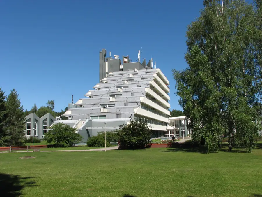
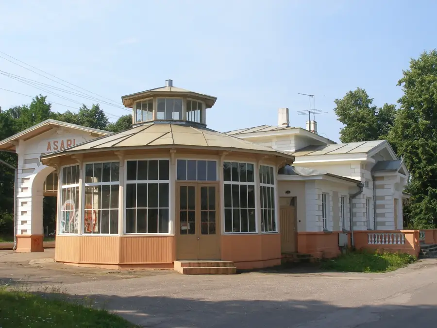
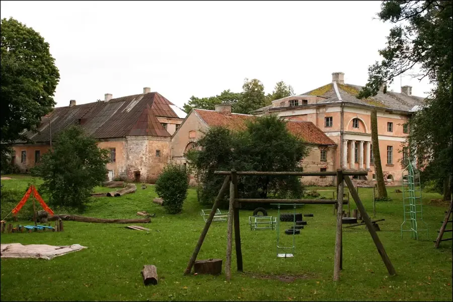
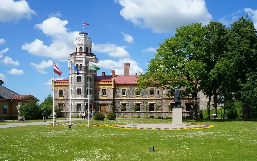
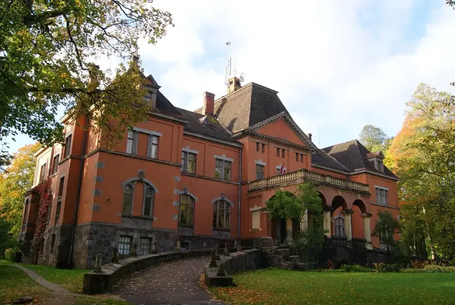
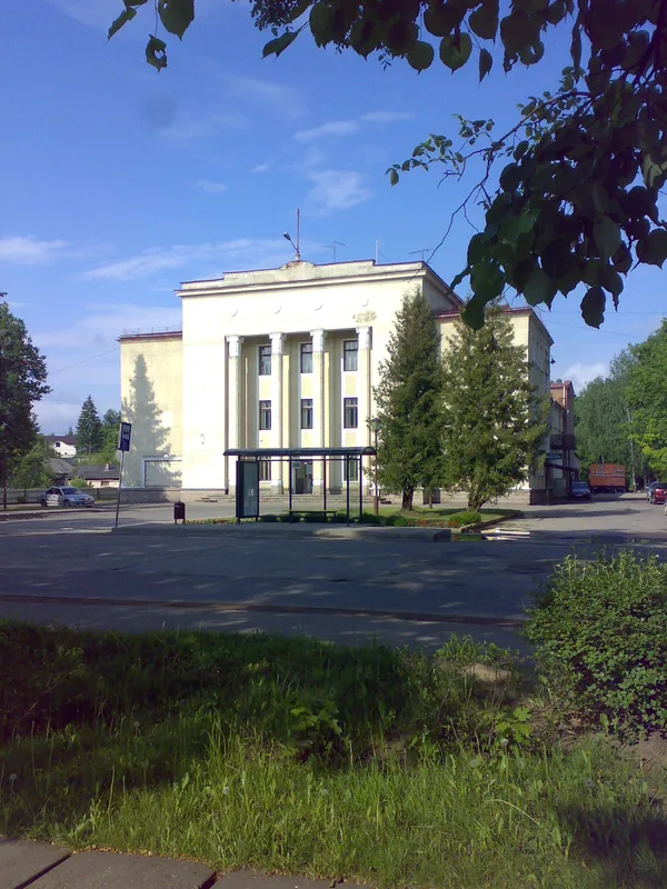
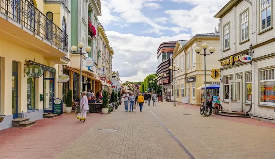
- Top sights: Elejas izstāžu zāle · Elejas muiža · Magazīnklēts
- Nearby: Eleja (4 km)
Best time to visit & climate
The most pleasant time to visit is Jun–Aug.
| Jan | Feb | Mar | Apr | May | Jun | Jul | Aug | Sep | Oct | Nov | Dec | |
|---|---|---|---|---|---|---|---|---|---|---|---|---|
| Avg °C | -5 | -5 | -1 | 6 | 12 | 16 | 18 | 17 | 13 | 6 | 2 | -2 |
| Rain mm | 50 | 42 | 40 | 44 | 52 | 74 | 81 | 74 | 52 | 67 | 64 | 53 |
📋 Practical info
Geography
Facts
- Located in the Jelgava municipality in southern Latvia.
- Part of the Semigallian periglacial plain.
- The formation reaches a maximum height of about 40 meters above sea level.
- Formed approximately 12,000 years ago at the end of the Weichselian glaciation.
- The soils consist primarily of fertile loam and clay.
- Acts as a natural watershed for local drainage systems.
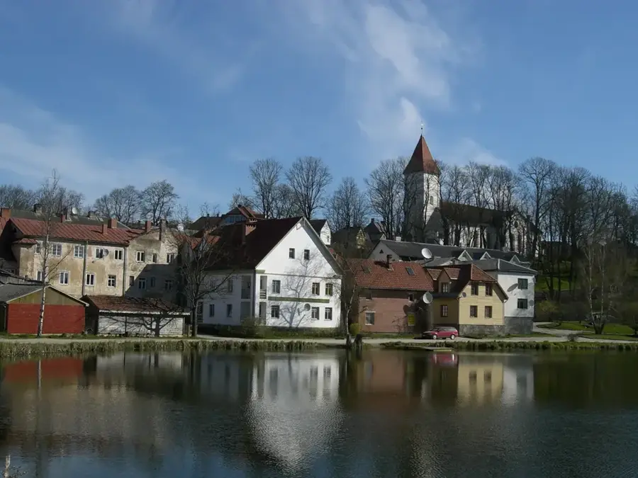
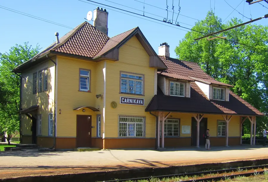
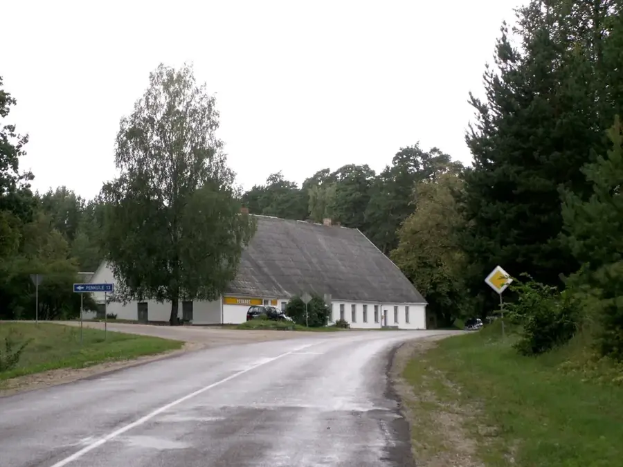
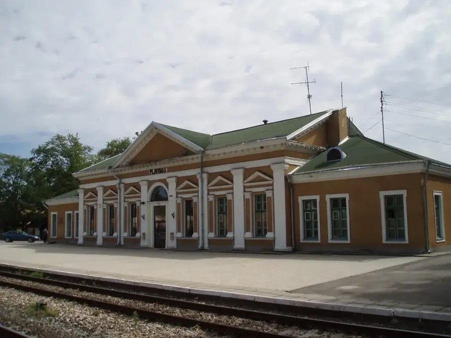
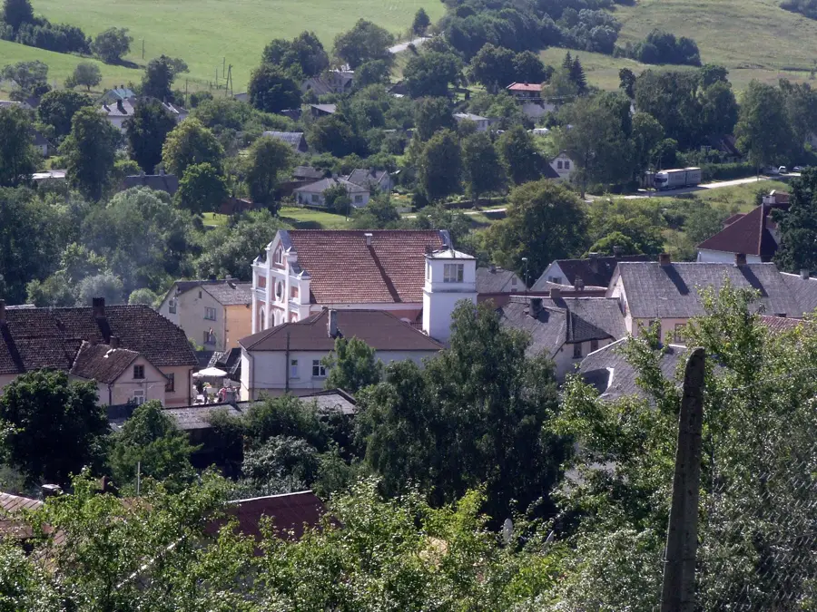
Explore nearby
Notable places around
Route planner — Car & Motorhome
Where do you start? We build the route here, with stops and country notes along the way.
© OpenStreetMap contributors · OpenRouteService
Sights in the town Eleja Ridge (4)
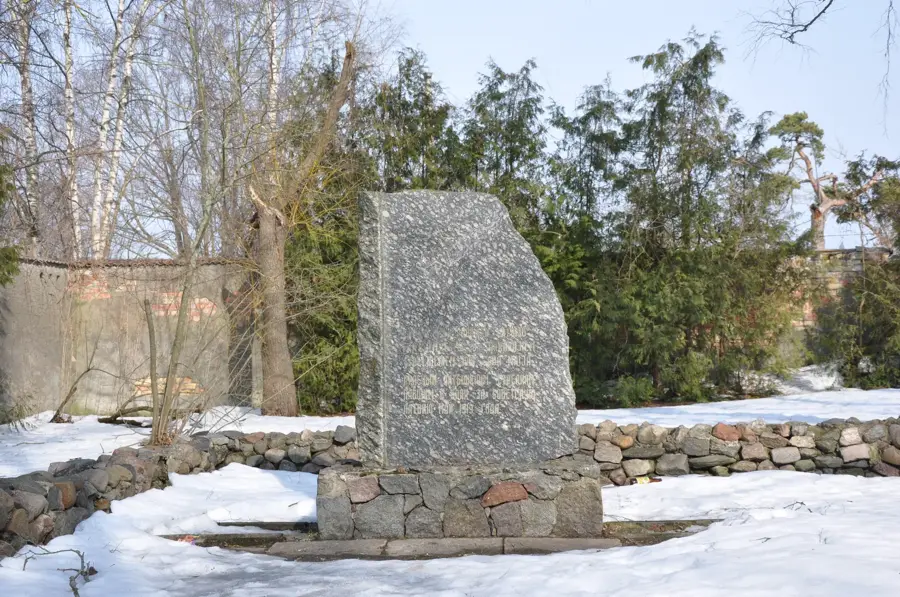
Sights nearby
Frequently asked questions
How does the Eleja Ridge differ from the Eleja Plain?
Was the ridge used for military purposes?
What kind of agriculture is found on the ridge?
Can you hike along the ridge?
Are there forest sections there?
Eleja Ridge: where is it located?
Eleja Ridge: what is there to see?
Eleja Ridge: when is the best time to visit?
Eleja Ridge: why is it worth visiting?

Nearby cities