Plizio Visual Lab
Long Tieng
Weather…
Water temperature…
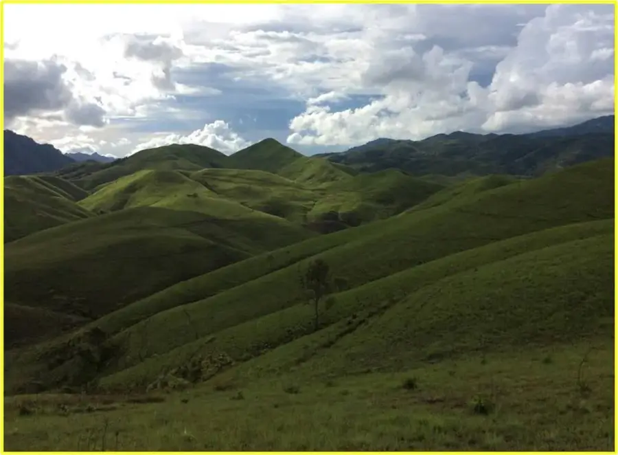
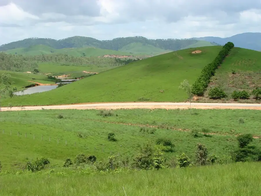
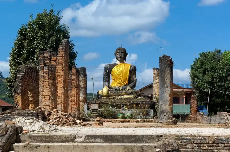
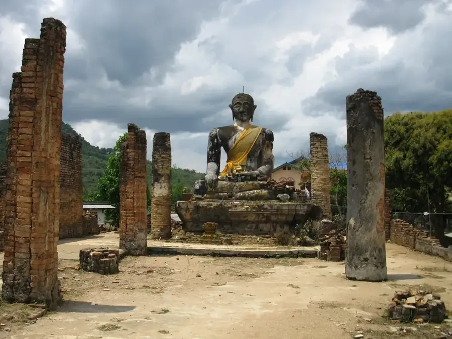
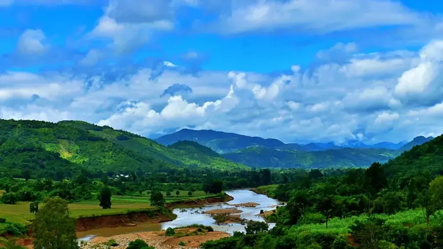
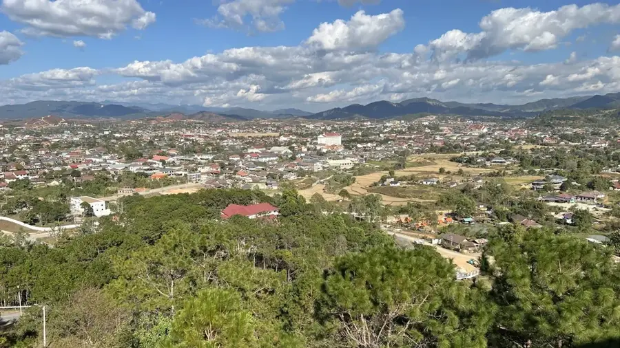
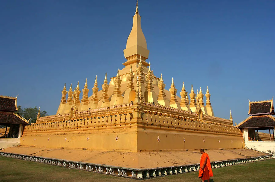
Long Tieng, situated in a remote karst valley in Xaisomboun Province, was the epicenter of the CIA's 'Secret War' in Laos. Between 1962 and 1975, this covert military base expanded to around 40,000 residents, briefly making it the second-largest city in the country, even though it appeared on no official maps. Under the leadership of General Vang Pao, Long Tieng served as the headquarters for the Hmong guerrilla army and as a hub for 'Air America' flights providing logistical support. Following the American withdrawal in 1975, the base was overtaken by communist forces and remained a highly restricted military zone for decades. Only recently has this isolated valley been slowly opened up for civilian development.
- Location: Laos
- Nearby: Xaisomboun (18 km)
Best time to visit & climate
The most pleasant time to visit is Feb, Mar, Nov.
| Jan | Feb | Mar | Apr | May | Jun | Jul | Aug | Sep | Oct | Nov | Dec | |
|---|---|---|---|---|---|---|---|---|---|---|---|---|
| Avg °C | 17 | 20 | 22 | 25 | 25 | 24 | 23 | 23 | 23 | 21 | 19 | 17 |
| Rain mm | 9 | 9 | 31 | 57 | 143 | 141 | 207 | 242 | 162 | 69 | 20 | 7 |
📋 Practical info
Geography
Facts
- Served as the CIA headquarters during the 'Secret War'
- Briefly became the second-largest city in all of Laos
- Completely absent from all official maps of the era
- Command center for the Hmong guerrilla army under Vang Pao
- Crucial logistical hub for covert Air America supply flights
- Remained a highly restricted military zone for decades post-1975
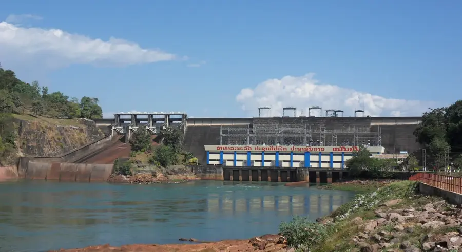
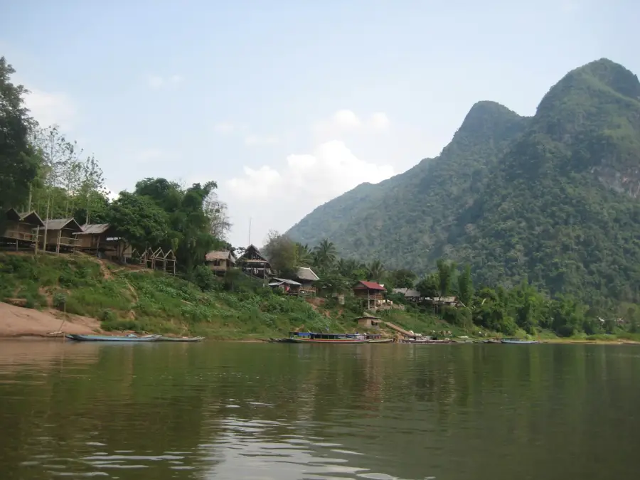
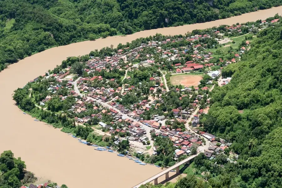
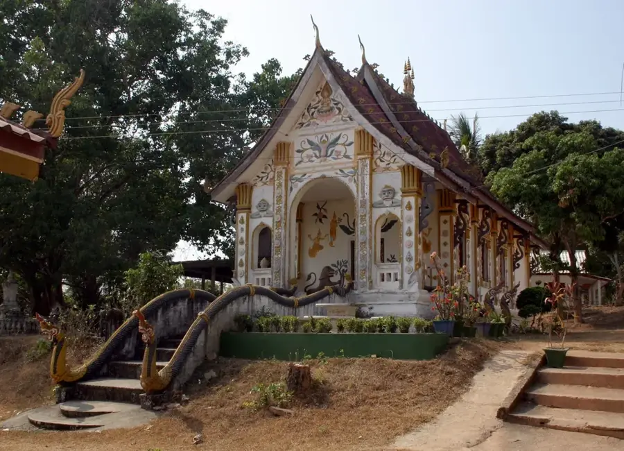
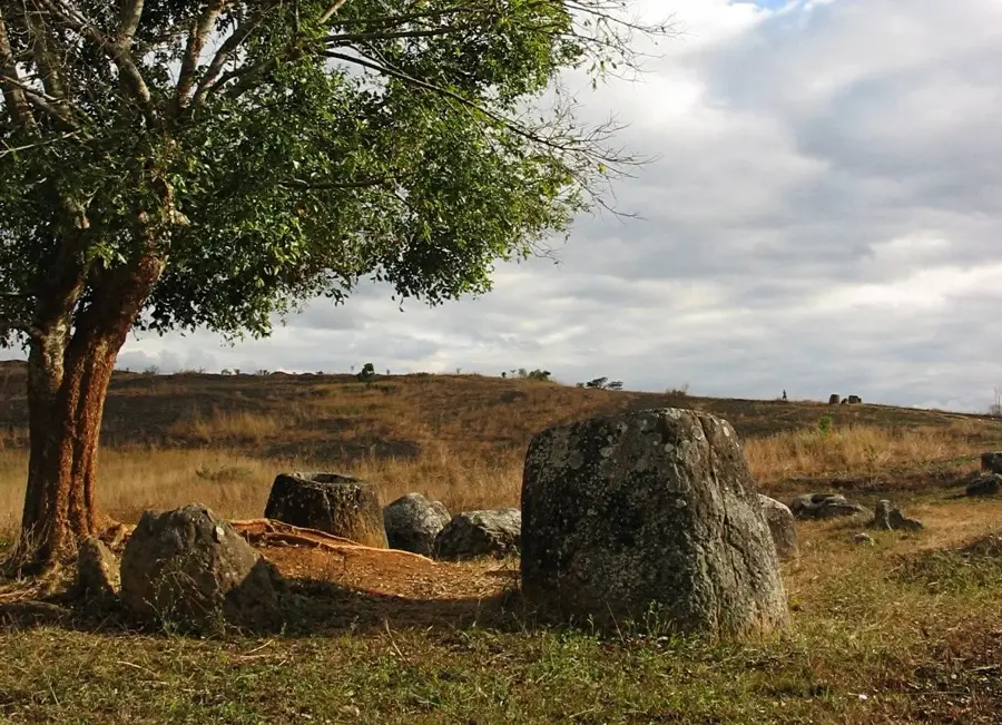
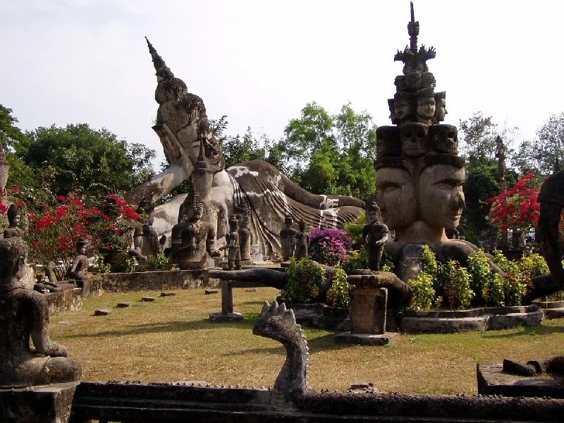
Explore nearby
Notable places around
Route planner — Car & Motorhome
Where do you start? We build the route here, with stops and country notes along the way.
© OpenStreetMap contributors · OpenRouteService
Sights nearby
Frequently asked questions
What was Long Tieng during the war?
Why was it called the 'most secret place on Earth'?
Who was General Vang Pao?
Can Long Tieng be visited today?
What is left of the original base?
Long Tieng: where is it located?
Long Tieng: when is the best time to visit?
Long Tieng: why is it worth visiting?

Nearby cities


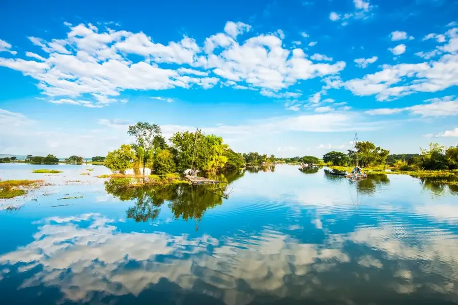

History & landmarks
Nature
More places