Plizio Visual Lab
Luang Prabang Range
Weather…
Water temperature…
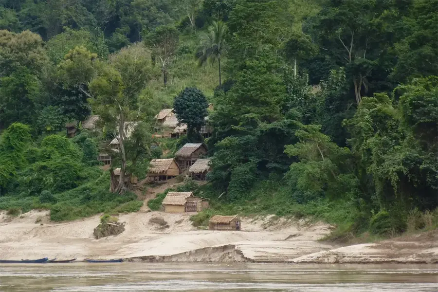
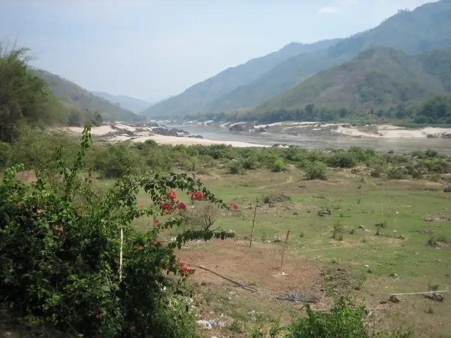
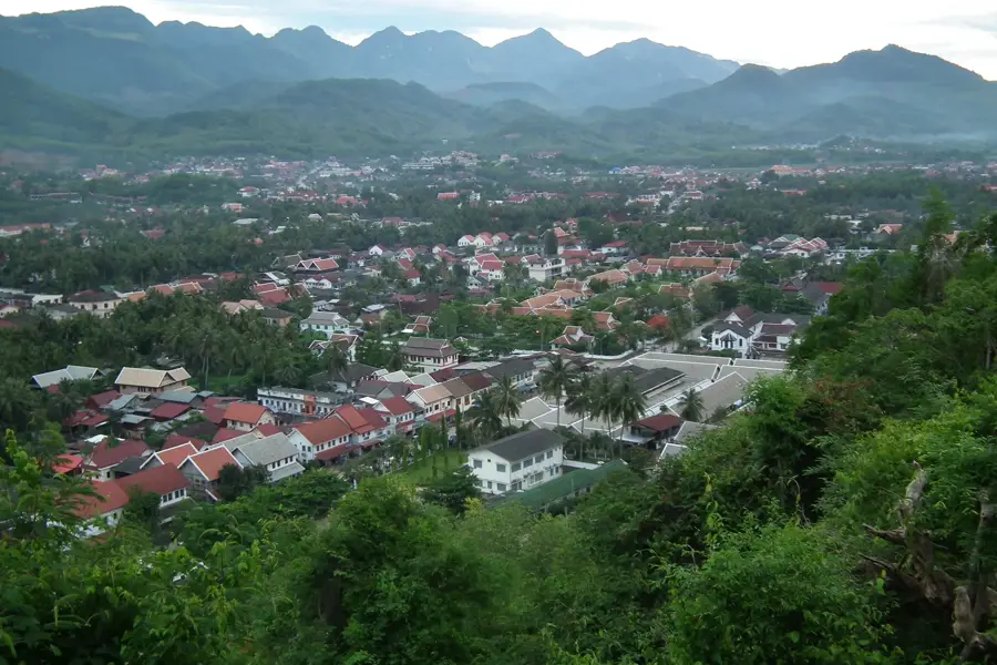
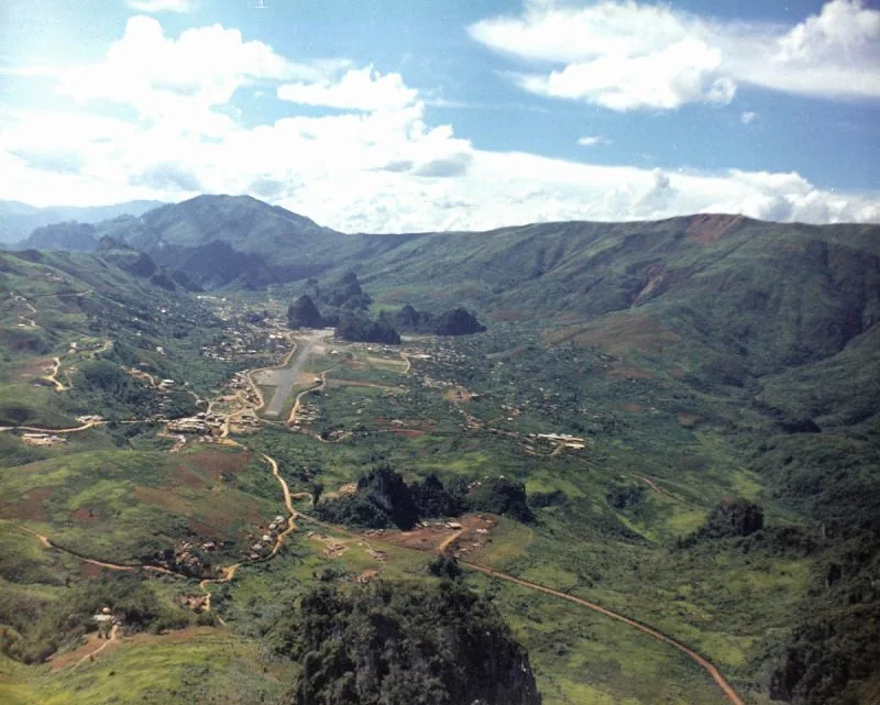
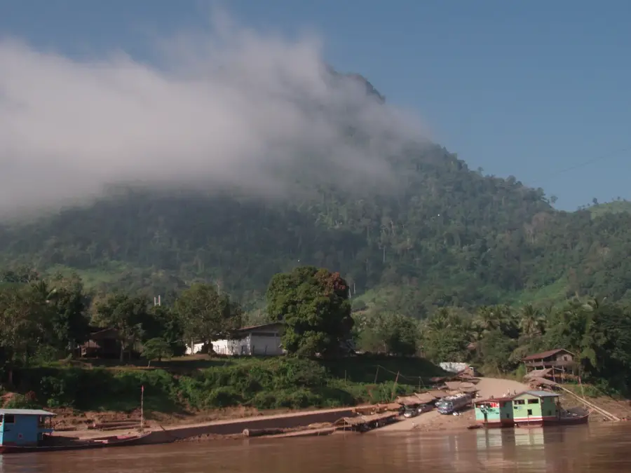
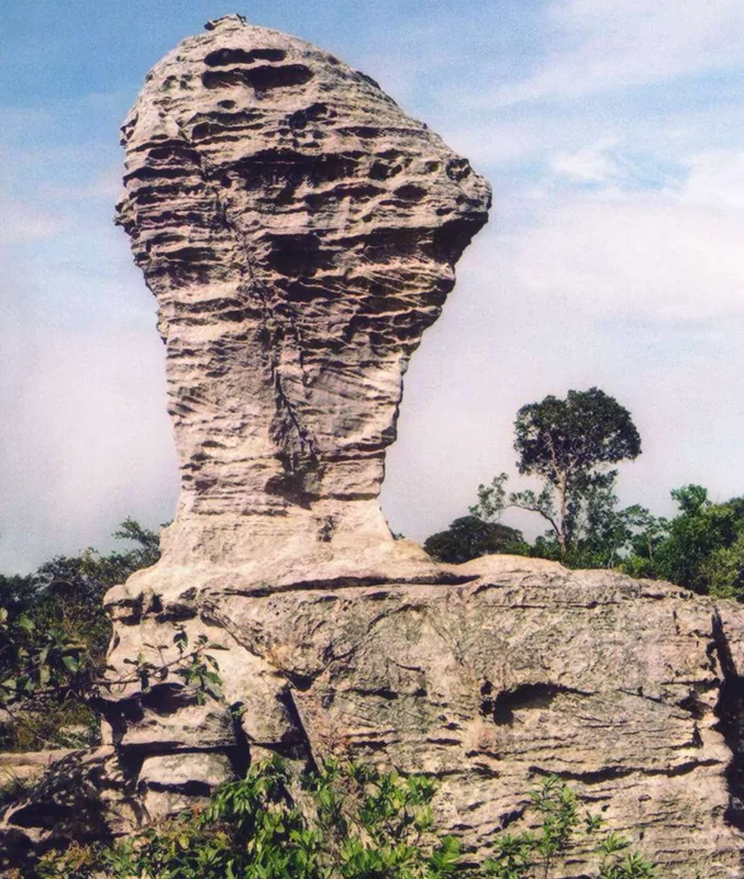
The Luang Prabang Range is a major mountain system in northwestern Laos and northern Thailand, forming a significant portion of the border between the two nations. Part of the Laotian Highlands, it runs parallel to the Mekong River and serves as an essential watershed for numerous tributaries. The landscape is defined by jagged ridges, deep gorges, and dense tropical rainforests that support immense biodiversity. The highest point in the range is Phu Soi Dao, reaching an elevation of 2,120 meters. The region is home to several hill tribes, most notably the Hmong and Yao, whose cultural practices and agricultural techniques are intimately tied to the steep terrain. Geologically, the mountains are composed primarily of Paleozoic rocks that have been intensely folded by tectonic forces. In addition to conservation efforts, the range plays a key role in cross-border trade and eco-tourism, with trekking through its pristine wilderness gaining international popularity.
- Location: Laos
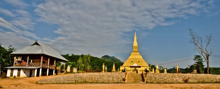
- Nearby: Muang Long (34 km)
Best time to visit & climate
The most pleasant time to visit is Jan, Feb, Nov.
| Jan | Feb | Mar | Apr | May | Jun | Jul | Aug | Sep | Oct | Nov | Dec | |
|---|---|---|---|---|---|---|---|---|---|---|---|---|
| Avg °C | 18 | 21 | 23 | 25 | 25 | 25 | 24 | 24 | 24 | 23 | 21 | 18 |
| Rain mm | 14 | 5 | 29 | 68 | 134 | 124 | 211 | 241 | 152 | 61 | 19 | 12 |
📋 Practical info
Geography
Facts
- Highest peak is Phu Soi Dao at 2,120 meters
- Forms the natural border between Laos and Thailand
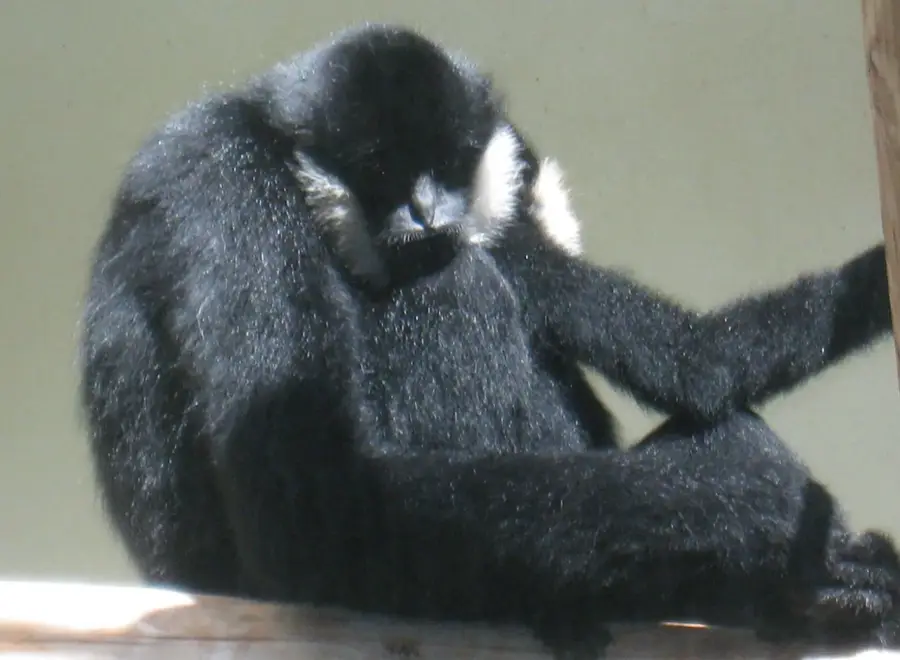
- Crucial habitat for the remaining Asian elephant herds
- Contains parts of the Nam Et-Phou Louey protected area
- Geologically composed of ancient Paleozoic rock layers
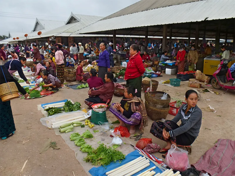
- Traditional homeland of the Hmong hill tribes
Explore nearby
Notable places around
Route planner — Car & Motorhome
Where do you start? We build the route here, with stops and country notes along the way.
© OpenStreetMap contributors · OpenRouteService
Sights nearby
Frequently asked questions
What is special about the Luang Prabang Range?
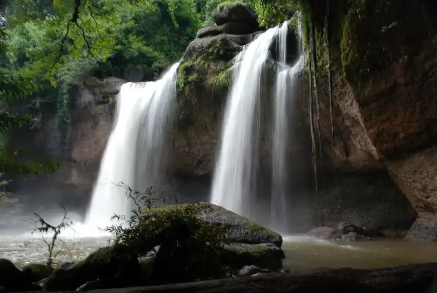
How do you reach the waterfalls?
Are there hiking trails in this range?
Is the region developed for tourism?
When should you visit the waterfalls?
Luang Prabang Range: where is it located?
Luang Prabang Range: when is the best time to visit?
Luang Prabang Range: why is it worth visiting?

Nearby cities
History & landmarks
Nature
More places