Plizio Visual Lab
Phu Hin Rong Kla Plateau

Weather…
Water temperature…
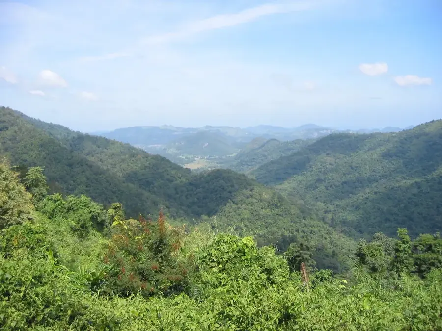
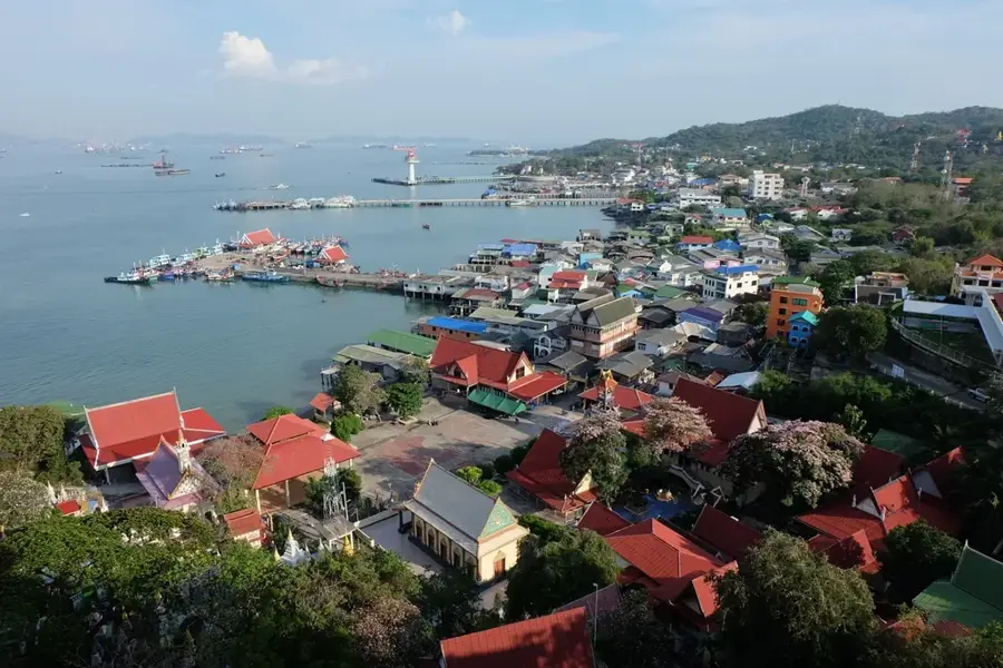
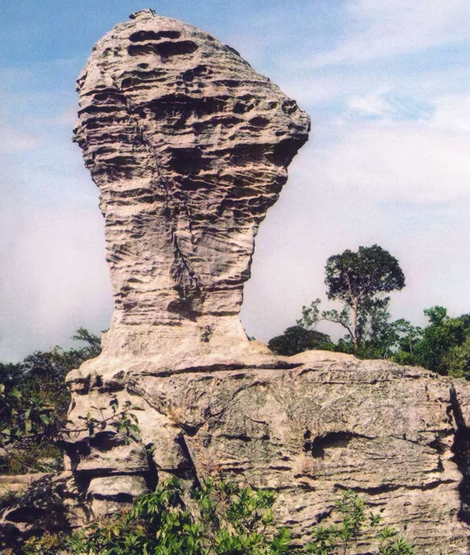
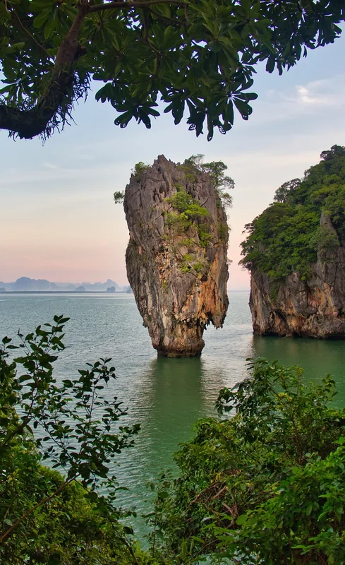
Phu Hin Rong Kla Plateau is a remarkable feature of the geography and culture of Thailand. A rugged plateau in the Phetchabun Mountains that was once a hideout for communist insurgents and is now a national park. Full of strangely shaped rock formations. Historical sites from the insurgency period are preserved. The elevation provides a cool climate. This landform shapes the topography of Thailand, from the northern mountains to the coastal plains along the Gulf of Thailand. Like many notable places in Thailand, it combines regional character with the legacy of the Chao Phraya, the Mekong and Buddhist tradition. Thus, this place contributes to the diverse profile of Thailand, between the Andaman coast, rice paddies and tropical forests.
- Location: Thailand
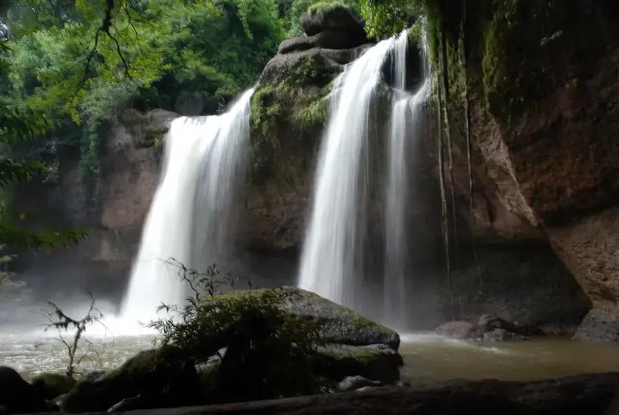
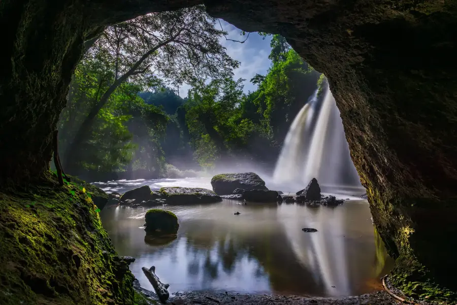
- Top sights: Man Daeng Waterfall · Pha Chu Thong · Pha Hua Dam
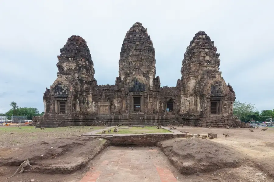
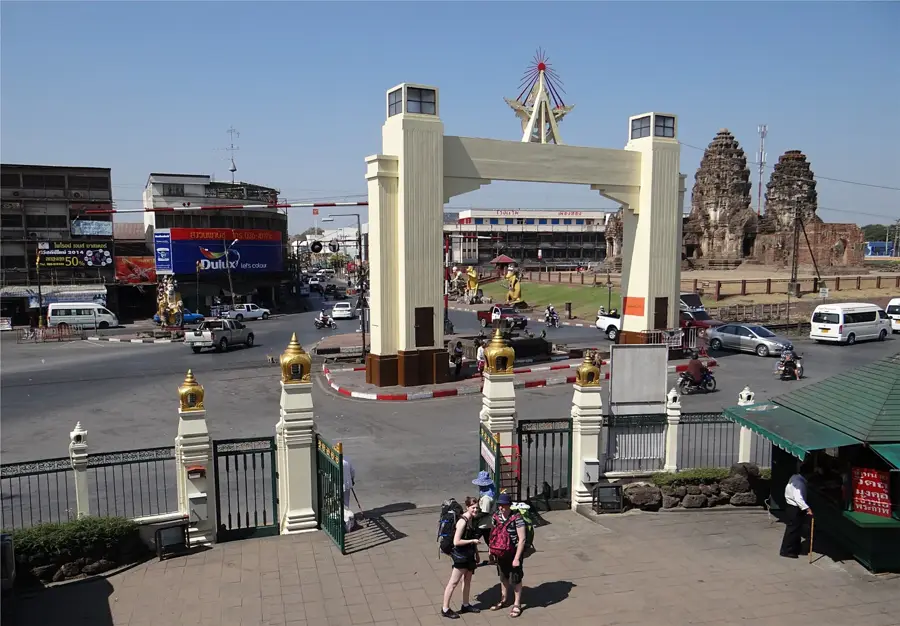
- Nearby: Lopburi (64 km)
Best time to visit & climate
The most pleasant time to visit is Jan, Nov, Dec.
| Jan | Feb | Mar | Apr | May | Jun | Jul | Aug | Sep | Oct | Nov | Dec | |
|---|---|---|---|---|---|---|---|---|---|---|---|---|
| Avg °C | 20 | 24 | 26 | 28 | 27 | 25 | 25 | 24 | 24 | 23 | 21 | 19 |
| Rain mm | 9 | 14 | 39 | 74 | 164 | 149 | 161 | 206 | 217 | 102 | 17 | 8 |
📋 Practical info
Geography
Facts
- A rugged plateau in the Phetchabun Mountains that was once a hideout for communist insurgents and is now a national park.
- Located within the Kingdom of Thailand.
- Shaped by the monsoon climate of Southeast Asia.
Explore nearby
Notable places around
Route planner — Car & Motorhome
Where do you start? We build the route here, with stops and country notes along the way.
© OpenStreetMap contributors · OpenRouteService
Sights in the town Phu Hin Rong Kla Plateau (6)
Sights nearby
Frequently asked questions
Why should you visit the Phu Hin Rong Kla plateau?
Are there historical sights there?
When is the best time to travel?
Is the place good for hiking?
Do you need admission?
Phu Hin Rong Kla Plateau: where is it located?
Phu Hin Rong Kla Plateau: what is there to see?
Phu Hin Rong Kla Plateau: when is the best time to visit?
Phu Hin Rong Kla Plateau: why is it worth visiting?

Nearby cities
History & landmarks
Nature
More places