Plizio Visual Lab
Litein
ℹ️Practical info — Litein
▾
🌤 Weather — 5 days
📍 Nearby
Sights nearby
💡 Tips
- Located in the highlands, the weather is cooler and often rainy, so pack a light jacket and umbrella.
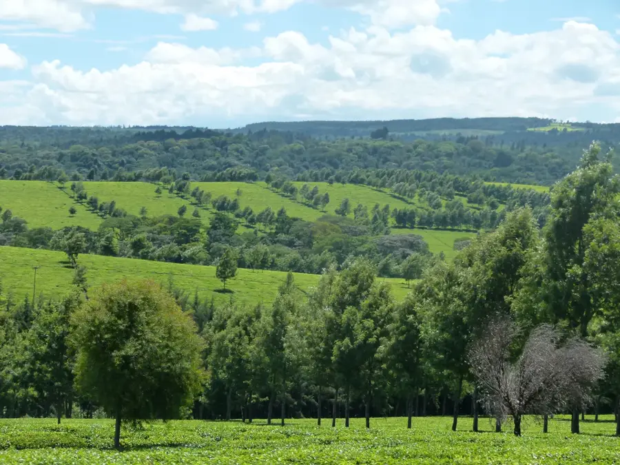
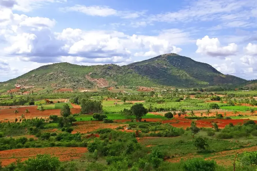
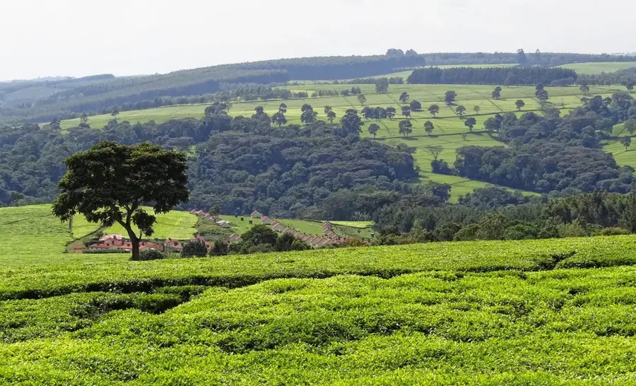
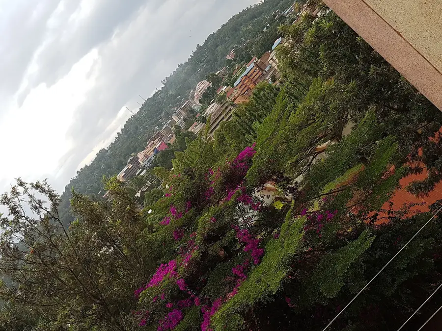
- The town is surrounded by endless green tea estates; ask locals for permission before walking into the fields.
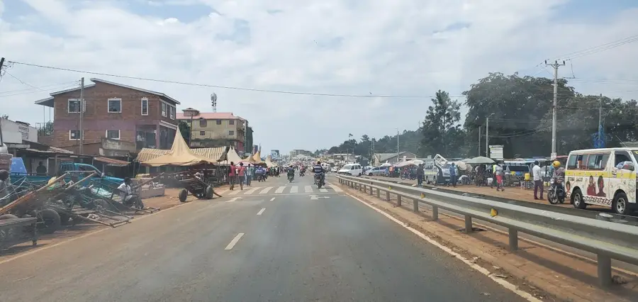
- Use matatus (minibuses) to navigate between neighboring villages.
- Morning is the best time for clear views before afternoon clouds roll in.
🍽 Food
Made with incredibly fresh local tea leaves; find it in any town cafe.
A hearty, warming meal great for the cooler highland climate.
Best bought fresh in the morning from street vendors.
🛍 Shopping · 🧘 Quiet spots
Look for local retail shops selling packaged tea directly from the nearby estates.
Great for fresh vegetables, fruits, and experiencing the lively local trade.
Walking along the dirt roads separating the tea fields is incredibly peaceful.
Walk slightly uphill from the center to get panoramic views of the rolling green hills.
Water temperature…
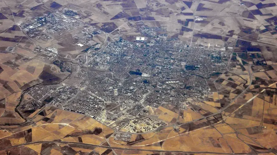
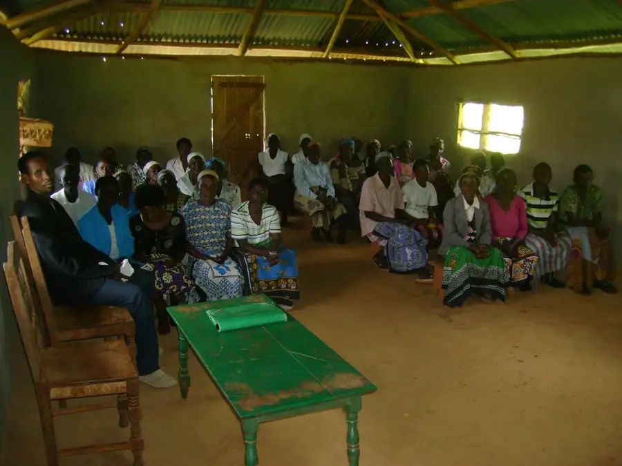
Litein is a prominent town in Kericho County, located at the heart of Kenya's premier tea-growing belt. Situated in the scenic Rift Valley highlands, the town is world-renowned for its vast, rolling green tea estates that dominate the surrounding landscape. Litein functions as a central processing hub for the tea industry, with several major factories located nearby that form the economic backbone of the local community. Due to its high altitude, the town enjoys a cool, moist climate characterized by high annual rainfall, creating well-suited conditions for intensive agriculture. Litein is also a recognized regional center for education and healthcare, notably hosting the Litein Mission Hospital, which serves patients from across western Kenya. The local population is primarily composed of the Kipsigis sub-tribe of the Kalenjin, whose rich cultural heritage remains a cornerstone of daily life. In recent years, Litein has developed into a major commercial center, well-connected to the national transport grid via improved roads to Kericho and Sotik.
- Location: Kenya
- Nearby: Kericho (18 km)
- Population: ~13.403 (2024)
Best time to visit & climate
The most pleasant time to visit is Jan, Feb, Jul.
| Jan | Feb | Mar | Apr | May | Jun | Jul | Aug | Sep | Oct | Nov | Dec | |
|---|---|---|---|---|---|---|---|---|---|---|---|---|
| Avg °C | 21 | 22 | 22 | 21 | 20 | 19 | 19 | 20 | 20 | 21 | 20 | 20 |
| Rain mm | 93 | 68 | 176 | 255 | 214 | 100 | 66 | 97 | 116 | 170 | 236 | 155 |
Geography
Facts
- Major industrial hub for tea processing factories
- Located within the lush highlands of Kericho County
- Home to the renowned Litein Mission Hospital
- Characterized by a cool climate and high rainfall
- Vital commercial center for agricultural trade
- Core region for the Kipsigis sub-tribe of the Kalenjin
Explore nearby
Notable places around
Route planner — Car & Motorhome
Where do you start? We build the route here, with stops and country notes along the way.
© OpenStreetMap contributors · OpenRouteService
Frequently asked questions
What is Litein known for?
Where is Litein located?
How is the climate in Litein?
Which community lives here?
Are there hospitals in Litein?
Litein: where is it located?
Litein: when is the best time to visit?
Litein: why is it worth visiting?

Nearby cities
History & landmarks
More places