Plizio Visual Lab
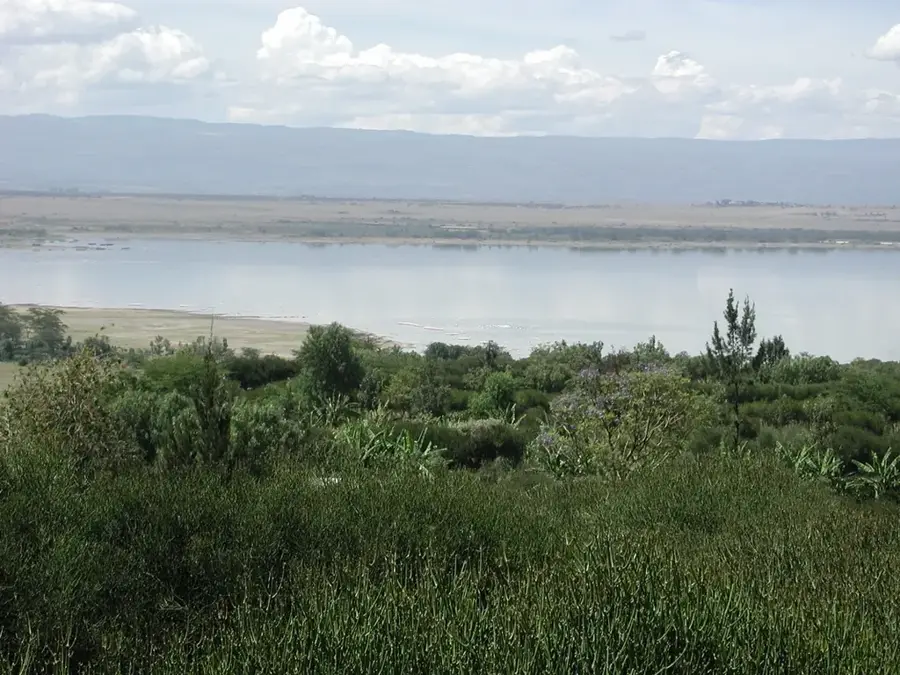
Kinangop Plateau

Weather…
Water temperature…
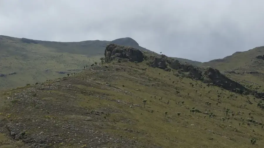
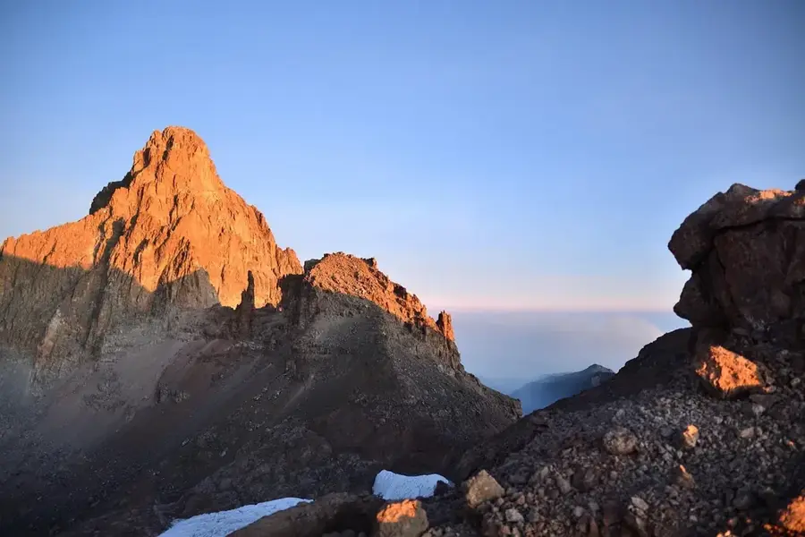
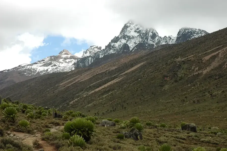
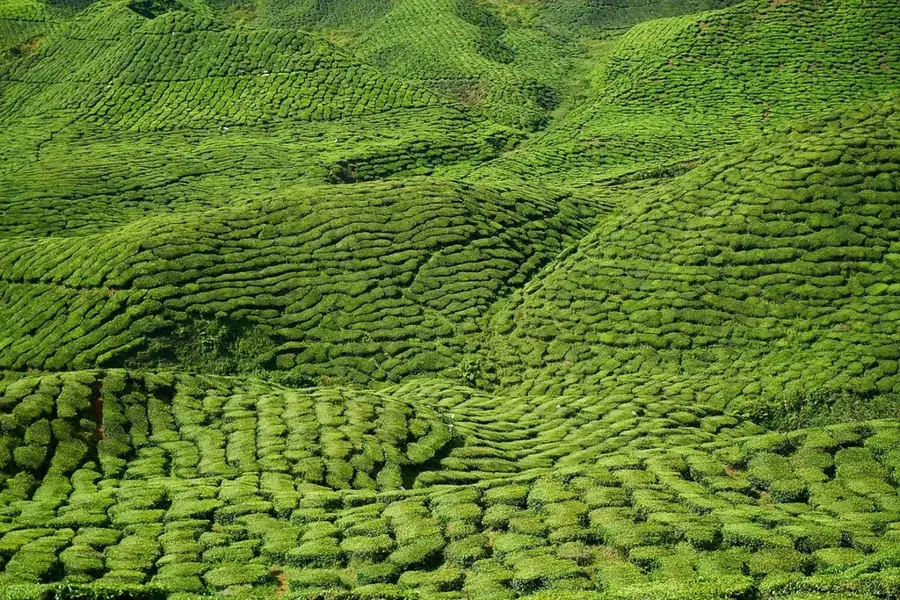
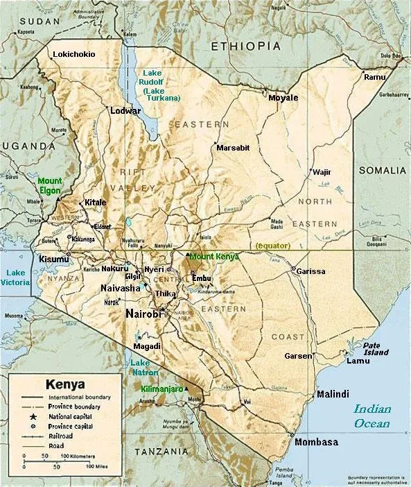
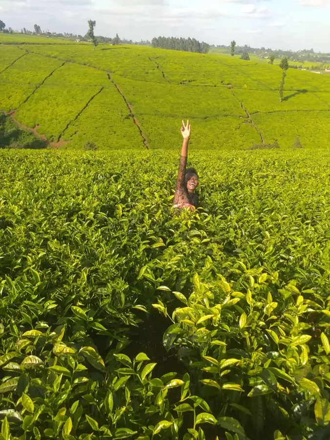
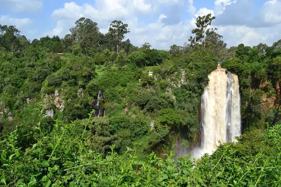
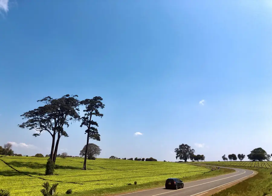
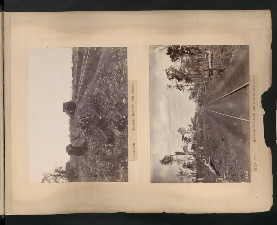
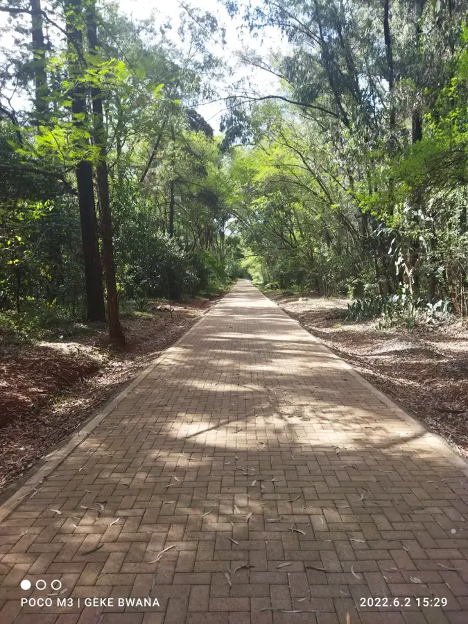
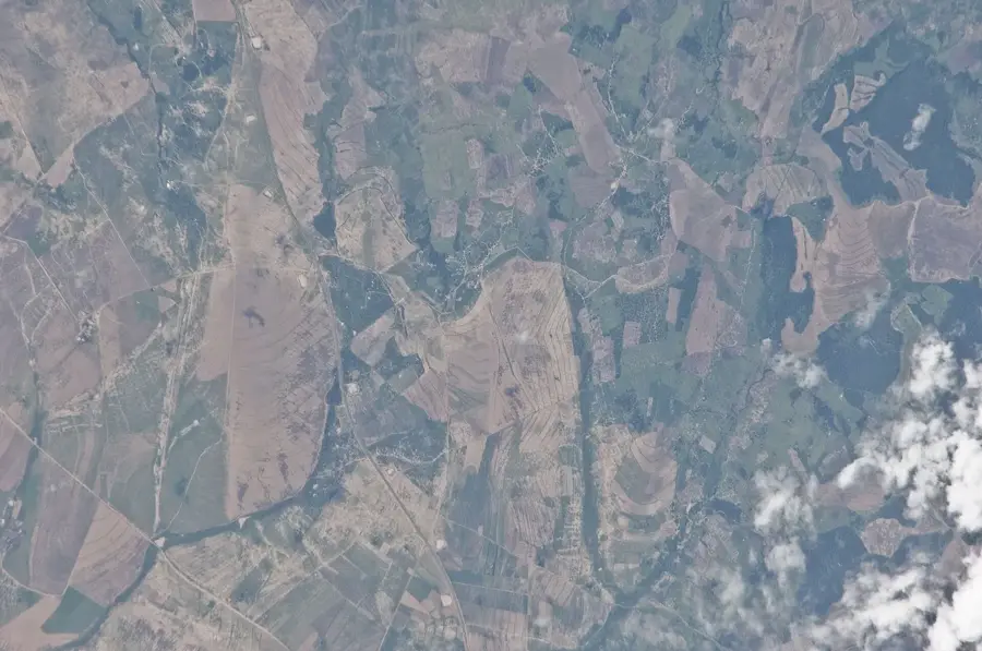
The Kinangop Plateau is an extensive highland plain in Kenya, situated between the Aberdare Range to the east and the Great Rift Valley to the west. With an average elevation ranging from 2,400 to 2,700 meters, it ranks as one of the country's most fertile agricultural regions. Geologically, the plateau was shaped by massive lava flows and volcanic ash deposits during the formation of the Aberdares, resulting in deep, rich volcanic soils. Originally covered by afro-alpine grasslands and marshes, the area is now largely characterized by small-scale farming, particularly of potatoes, cabbage, and pyrethrum. The plateau's cool and moist climate makes it a good location for dairy farming, which serves as a backbone of the local economy. Historically, the plateau was a key settlement area during the colonial period and played a role in Kenya's struggle for independence. Ecologically, the area is significant for hosting rare bird species such as Sharpe’s Longclaw, whose habitat is increasingly threatened by agricultural expansion.
- Location: Kenya
- Nearby: Aberdare (17 km)
Best time to visit & climate
The most pleasant time to visit is Jan–Mar.
| Jan | Feb | Mar | Apr | May | Jun | Jul | Aug | Sep | Oct | Nov | Dec | |
|---|---|---|---|---|---|---|---|---|---|---|---|---|
| Avg °C | 16 | 17 | 17 | 16 | 15 | 15 | 14 | 14 | 15 | 16 | 16 | 16 |
| Rain mm | 54 | 39 | 105 | 206 | 149 | 83 | 68 | 89 | 85 | 115 | 146 | 95 |
📋 Practical info
Geography
Facts
- The plateau is located primarily within Nyandarua County.
- Average temperatures on the plateau range between 10 and 20 degrees Celsius.
- It is a significant producer of pyrethrum, a natural insecticide derived from daisies.
- The region receives between 1,000 and 1,400 mm of annual rainfall.
- Kinangop is recognized as one of Kenya's Important Bird Areas (IBAs).
- During the 1960s, the plateau was a focal point for post-independence land reforms.
Explore nearby
Notable places around
Route planner — Car & Motorhome
Where do you start? We build the route here, with stops and country notes along the way.
© OpenStreetMap contributors · OpenRouteService
Sights nearby
Frequently asked questions
Where is the Kinangop Plateau located?
What is the main activity on the plateau?
What rare birds can be found there?
How high is the plateau?
Is it cold there?
Kinangop Plateau: where is it located?
Kinangop Plateau: when is the best time to visit?
Kinangop Plateau: why is it worth visiting?

Nearby cities


History & landmarks

Nature

More places