Plizio Visual Lab
Sila Plateau
Weather…
Water temperature…
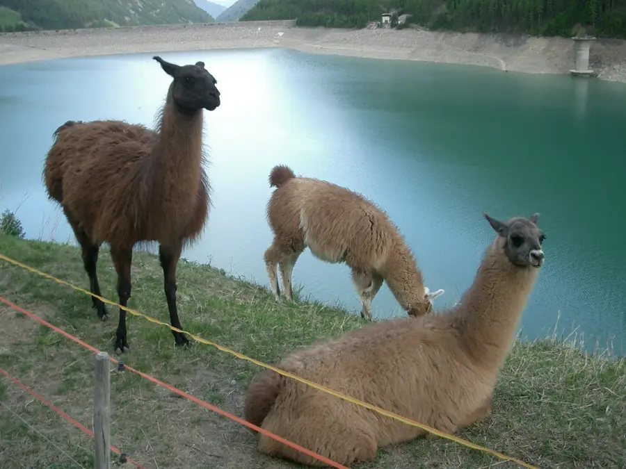
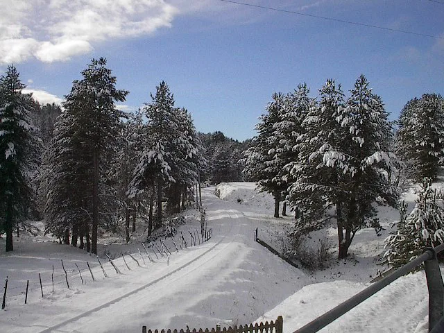
The Sila Plateau (Altopiano della Sila) is a vast high plateau in Calabria, southern Italy, covering about 1,500 km². It is located within the Sila National Park, established in 1997. The plateau is divided into three main areas: Sila Greca, Sila Grande, and Sila Piccola. The average elevation is about 1,200 m, with highest points such as Monte Botte Donato (1,928 m). The landscape is characterized by dense forests, mainly of Calabrian black pine (Pinus nigra subsp. calabrica), beech, and fir. There are numerous lakes, both natural like Lago Arvo and artificial reservoirs. Sila is known for its biodiversity, including the Apennine wolf, golden eagle, and the rare lynx. The economy is based on forestry, agriculture (potatoes, cereals), and tourism. Historically, the plateau was a refuge for local populations during Saracen raids. Today, it is an important hub for winter sports and summer hiking.
- Location: Italy
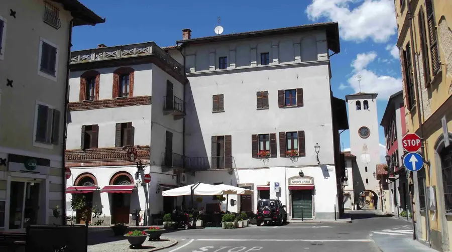
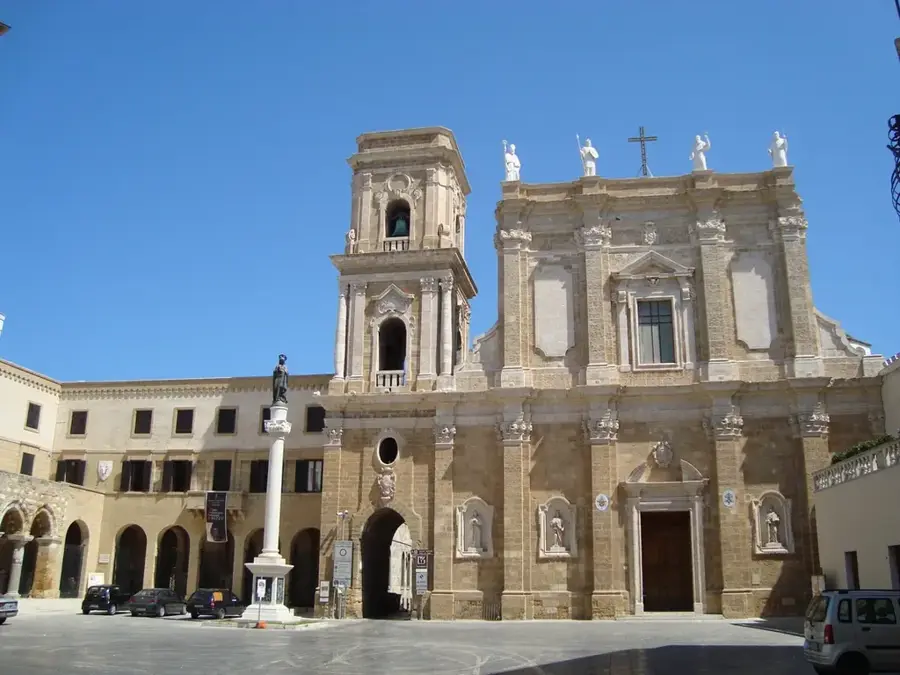
- Top sights: Pietra dell'Altare · Chiesa di Sant'Alessandro
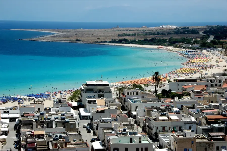
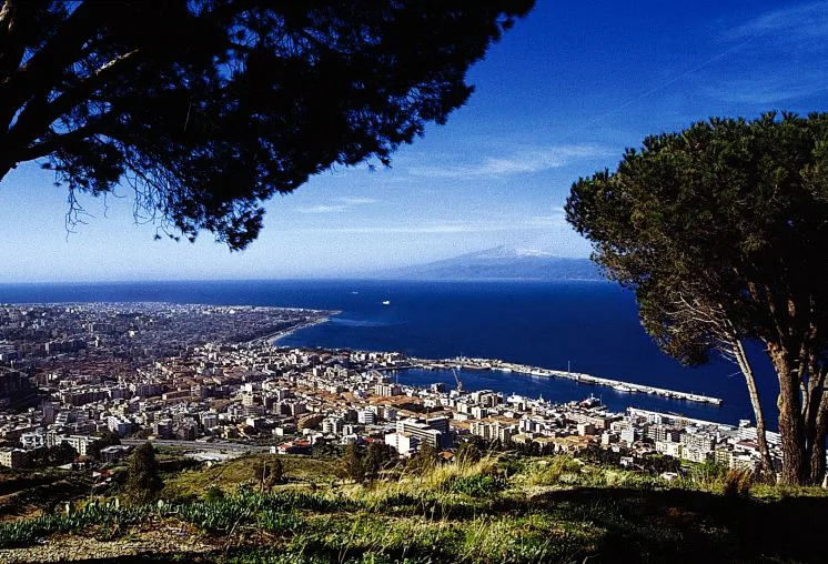
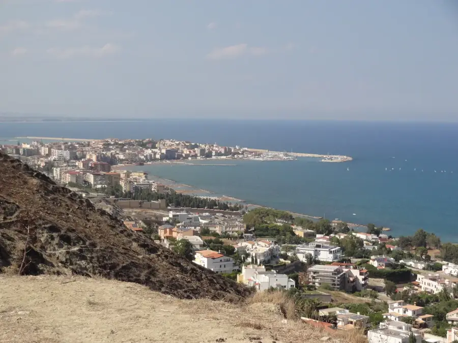
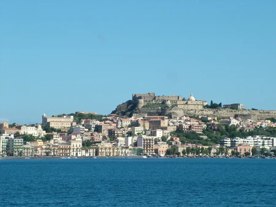
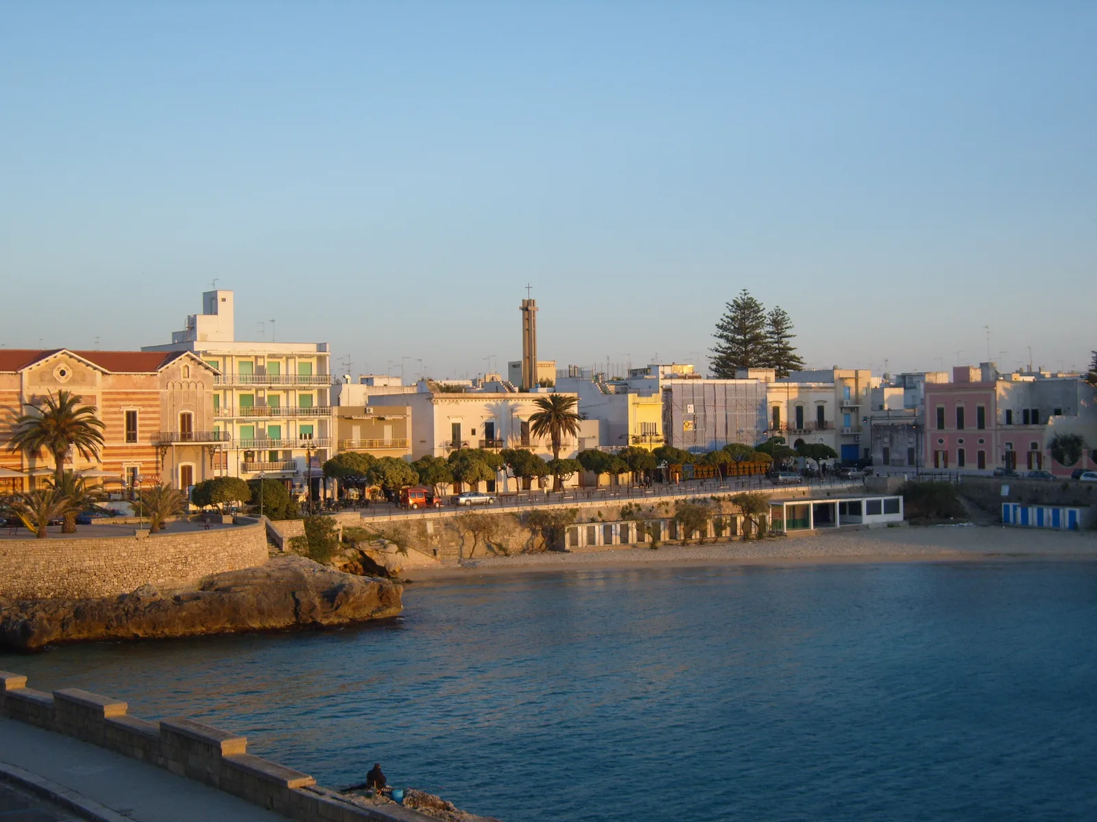
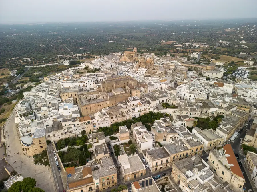
- Nearby: Rossano (32 km)
Best time to visit & climate
The most pleasant time to visit is Jun, Jul, Sep.
| Jan | Feb | Mar | Apr | May | Jun | Jul | Aug | Sep | Oct | Nov | Dec | |
|---|---|---|---|---|---|---|---|---|---|---|---|---|
| Avg °C | 7 | 7 | 9 | 12 | 16 | 21 | 25 | 25 | 20 | 16 | 12 | 8 |
| Rain mm | 133 | 127 | 98 | 68 | 50 | 35 | 26 | 32 | 80 | 87 | 134 | 130 |
📋 Practical info
Geography
Facts
- The Sila Plateau covers about 1,500 km².
- Monte Botte Donato is the highest peak at 1,928 m.
- The Sila National Park was established in 1997 and covers 73,695 hectares.
- Lago Arvo has a surface area of 8.5 km².
- Calabrian black pine covers about 60% of the forest area.
- Average annual precipitation is 1,200–1,400 mm.
Explore nearby
Notable places around
Route planner — Car & Motorhome
Where do you start? We build the route here, with stops and country notes along the way.
© OpenStreetMap contributors · OpenRouteService
Sights in the town Sila Plateau (2)
Sights nearby
Frequently asked questions
What is the Sila Plateau?
Are there lakes in Sila?
What trees are typical here?
Can you ski there?
What are the 'Giants of Sila'?
Sila Plateau: where is it located?
Sila Plateau: what is there to see?
Sila Plateau: when is the best time to visit?
Sila Plateau: why is it worth visiting?

Nearby cities