Plizio Visual Lab
Monti Sibillini National Park
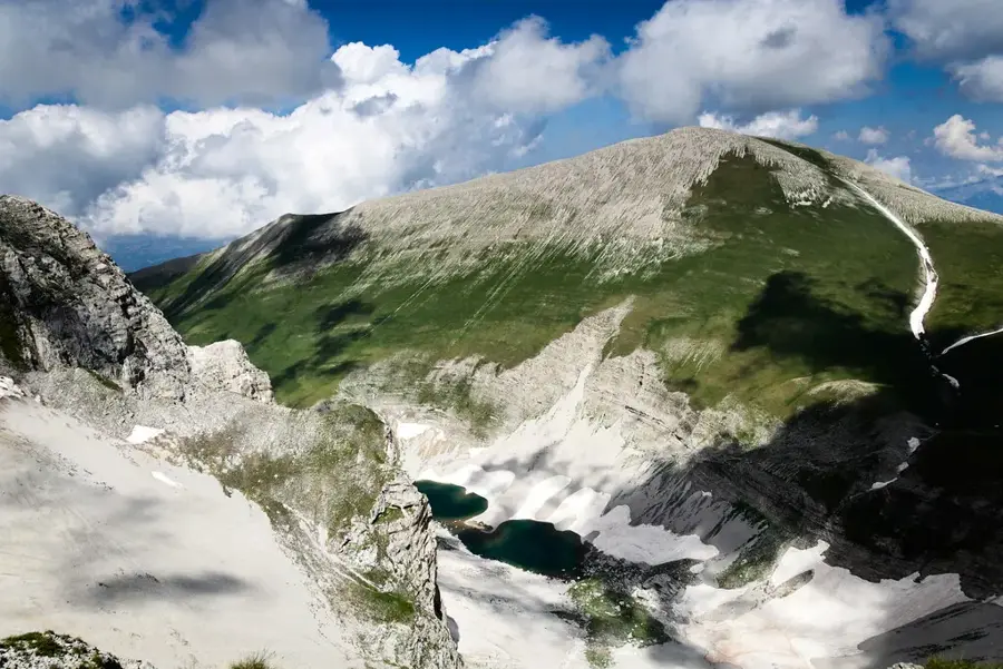
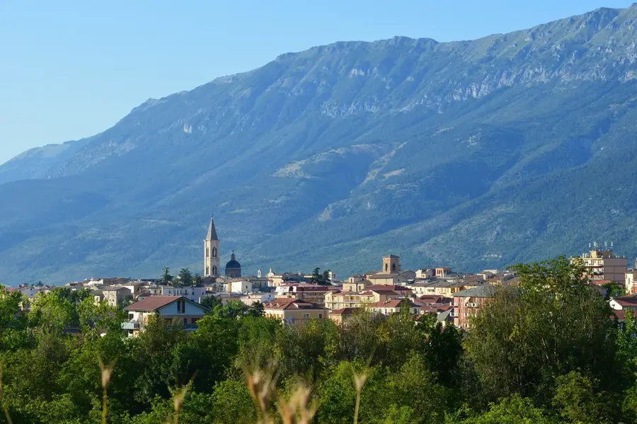
The Monti Sibillini National Park was established in 1993 and covers an area of approximately 70,000 hectares between the Marche and Umbria regions. Part of the Central Apennines, the mountain range features Monte Vettore as its highest point, reaching an elevation of 2,476 meters. The landscape is characterized by dramatic limestone peaks, deep gorges, and vast high-altitude plateaus such as the Piano Grande di Castelluccio, famous for its spectacular floral bloom in early summer. A unique natural feature of the park is Lake Pilato, a glacial lake that hosts a rare endemic species of crustacean. The area is steeped in local folklore, particularly the legends of the Sibyl, a mythical prophetess who gave the mountains their name. In addition to its ecological significance as a habitat for wolves, roe deer, and golden eagles, traditional agriculture remains vital, notably the cultivation of the renowned Castelluccio lentils. The park seamlessly blends wild nature with a rich cultural heritage preserved in medieval towns like Norcia and Visso.
- Location: Italy
- Top sights: Monte Argentella · Cima del Redentore · Cima del Lago
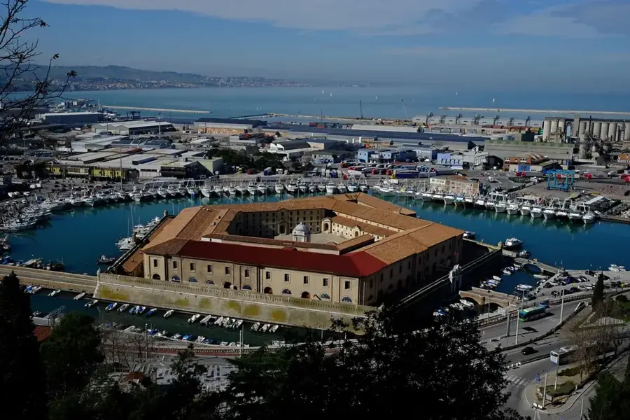
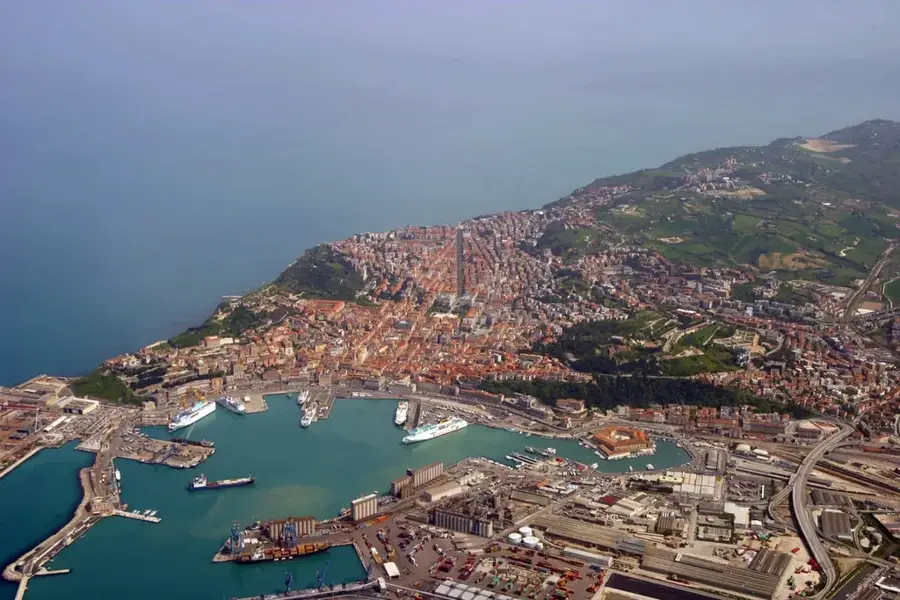
- Nearby: Ascoli Piceno (27 km)
Best time to visit & climate
The most pleasant time to visit is Jun, Aug, Sep.
| Jan | Feb | Mar | Apr | May | Jun | Jul | Aug | Sep | Oct | Nov | Dec | |
|---|---|---|---|---|---|---|---|---|---|---|---|---|
| Avg °C | 7 | 7 | 10 | 13 | 17 | 22 | 25 | 25 | 21 | 16 | 12 | 8 |
| Rain mm | 69 | 75 | 73 | 55 | 60 | 43 | 30 | 31 | 63 | 64 | 77 | 73 |
📋 Practical info
Geography
Facts
- Established in 1993 to protect the Central Apennine range.
- Covers a total land area of approximately 70,000 hectares.
- The highest elevation is Monte Vettore at 2,476 meters.
- Home to Lake Pilato, the only glacial lake in the region.
- Hosts the Chirocephalus marchesonii, an endemic crustacean.
- The Piano Grande is world-famous for its annual wildflower bloom.
Explore nearby
Notable places around
Route planner — Car & Motorhome
Where do you start? We build the route here, with stops and country notes along the way.
© OpenStreetMap contributors · OpenRouteService
Sights in the town Monti Sibillini National Park (4)
Sights nearby
Frequently asked questions
What is Castelluccio di Norcia famous for?
Are there legends about the park?
Where is Pilato Lake located?
Is hiking in the park safe after the earthquake?
What outdoor sports are popular?
Monti Sibillini National Park: where is it located?
Monti Sibillini National Park: what is there to see?
Monti Sibillini National Park: when is the best time to visit?
Monti Sibillini National Park: why is it worth visiting?

Nearby cities

History & landmarks