Plizio Visual Lab
Pietraperla

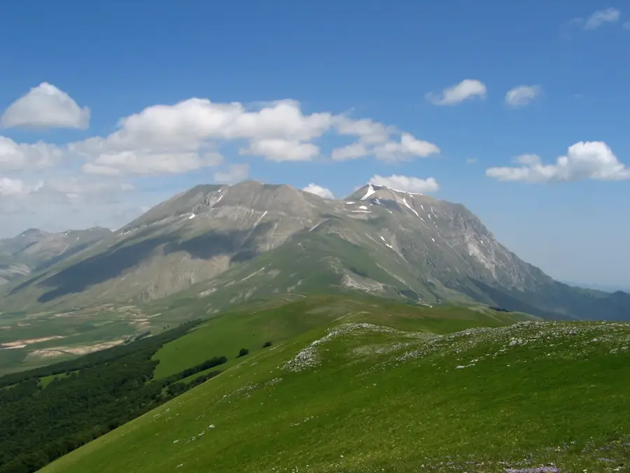
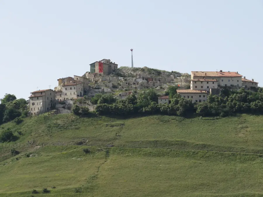
Pietrapertosa is a scenic mountain village in the Basilicata region, uniquely positioned within the dramatic rock formations of the Lucanian Dolomites. Situated at an altitude of 1,088 meters, it holds the title of the highest municipality in the region, offering sweeping views of the Basento Valley. The village's name originates from a 'pierced stone' (Pietra Perciata) located at the entrance to the settlement. Historically, the town was established in the 10th century by Saracens, whose influence is still visible in the oldest district, Arabata, known for its narrow, winding alleys that follow the natural contours of the rock. At the highest point of the village stand the ruins of a Norman-Swabian castle, partially carved into the mountain itself. Pietrapertosa is globally famous for the 'Volo dell'Angelo' (Flight of the Angel), a high-speed zip-line connecting it to the neighboring village of Castelmezzano across a deep valley. As a member of the 'I Borghi più belli d'Italia' (The Most Beautiful Villages of Italy), it maintains its medieval charm and traditional character. The seamless integration of ancient stone houses with the vertical crags creates one of the most striking urban landscapes in southern Italy.
- Location: Italy
- Top sights: Teatro Nicola Vaccaj · Museo dell'Arciconfraternita del Sacro Cuore di Gesù · Museo Internazionale dell'Umorismo nell'Arte
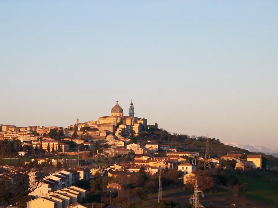
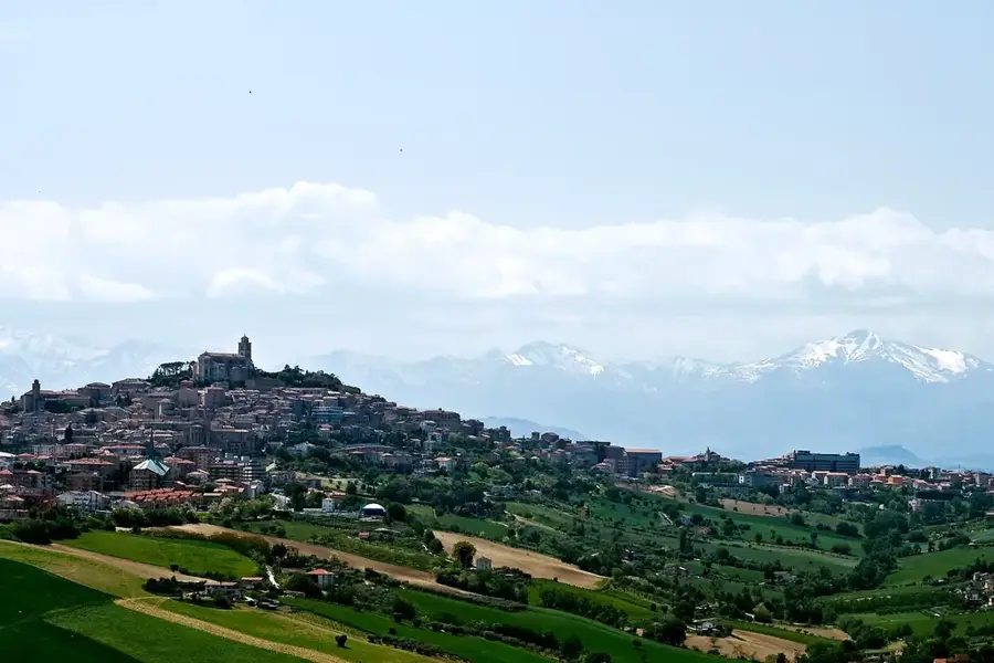
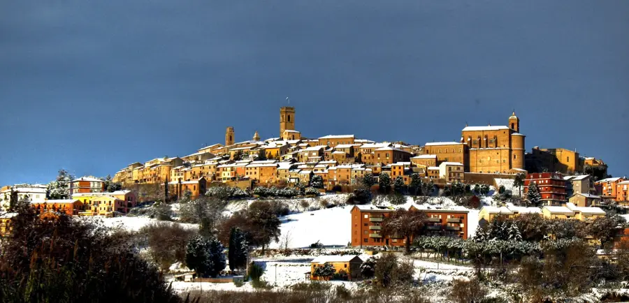
- Nearby: Loreto (38 km)
Best time to visit & climate
The most pleasant time to visit is Jun, Aug, Sep.
| Jan | Feb | Mar | Apr | May | Jun | Jul | Aug | Sep | Oct | Nov | Dec | |
|---|---|---|---|---|---|---|---|---|---|---|---|---|
| Avg °C | 7 | 7 | 10 | 13 | 17 | 22 | 25 | 25 | 21 | 16 | 12 | 8 |
| Rain mm | 69 | 75 | 73 | 55 | 60 | 43 | 30 | 31 | 63 | 64 | 77 | 73 |
📋 Practical info
Geography
Facts
- Pietrapertosa is the highest village in Basilicata at 1,088 meters above sea level.
- The Arabata district was founded by Saracens around the year 1000 AD.
- The 'Volo dell'Angelo' zip-line reaches top speeds of approximately 120 km/h (75 mph).
- The castle ruins include a unique staircase carved into the living rock of the mountain.
- The village is officially listed as one of the most beautiful in Italy.
- The zip-line experience consists of two different flights: the Peschiera and the Paschiere.
Explore nearby
Notable places around
Route planner — Car & Motorhome
Where do you start? We build the route here, with stops and country notes along the way.
© OpenStreetMap contributors · OpenRouteService
Sights in the town Pietraperla (9)
Sights nearby
Frequently asked questions
What is the 'Volo dell'Angelo'?
How high is Pietrapertosa?
When is the zipline open?
Are there hiking trails?
Is the food good there?
Pietraperla: where is it located?
Pietraperla: what is there to see?
Pietraperla: when is the best time to visit?
Pietraperla: why is it worth visiting?

Nearby cities

History & landmarks
More places