Plizio Visual Lab
Monte Penna
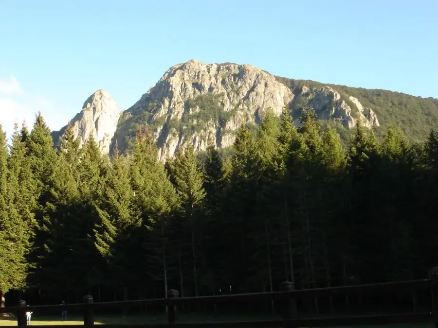
Monte Penna is a distinctive peak in the Ligurian Apennines with an elevation of 1,735 meters, located on the border between the Liguria and Emilia-Romagna regions. It is part of the Aveto Regional Park and is characterized by its steep, dark basalt walls, a volcanic rock of ophiolitic origin. This geological feature gives the mountain a rugged appearance that contrasts with the gentler surrounding hills. The summit is almost entirely surrounded by dense beech and fir forests, which are among the most significant forested areas in the Apennines. From the top, a wide view opens over the Taro valley and the Ligurian coast, with Corsica occasionally visible on the horizon under optimal conditions. On the summit stands a statue of the Madonna, erected in 1954, which serves as a destination for local pilgrimages. The region is also known for its rich biodiversity, including rare orchid species and a diverse array of bird life.
- Location: Italy
- Top sights: antico selciato · Monumento Scalabrini · Albero monumentale Faggio di Revoleto
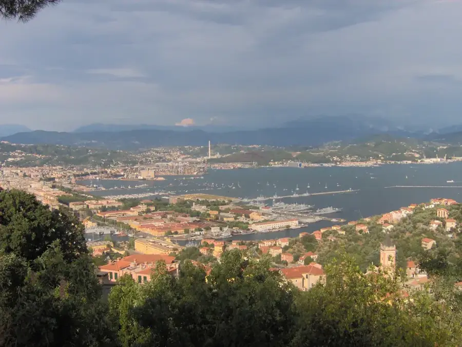
- Nearby: Borgo Val di Taro (19 km)
Best time to visit & climate
The most pleasant time to visit is Jun–Aug.
| Jan | Feb | Mar | Apr | May | Jun | Jul | Aug | Sep | Oct | Nov | Dec | |
|---|---|---|---|---|---|---|---|---|---|---|---|---|
| Avg °C | 4 | 4 | 7 | 11 | 15 | 20 | 23 | 23 | 18 | 14 | 9 | 5 |
| Rain mm | 58 | 62 | 71 | 69 | 67 | 47 | 36 | 47 | 61 | 97 | 131 | 75 |
📋 Practical info
Geography
Facts
- The maximum elevation of Monte Penna is 1,735 meters.
- The rock consists mainly of ophiolites, remnants of an ancient ocean floor.
- The statue on the summit was consecrated in the year 1954.
- The mountain is the source of the Taro River, which flows towards the Po Valley.
- Silver firs over 150 years old grow in the forests of Monte Penna.
- The summit is accessible via the 'Alta Via dei Monti Liguri' hiking trail.
Explore nearby
Notable places around
Route planner — Car & Motorhome
Where do you start? We build the route here, with stops and country notes along the way.
© OpenStreetMap contributors · OpenRouteService
Sights in the town Monte Penna (3)
Sights nearby
Frequently asked questions
In which province is Monte Penna located?
What is the Celts' holy mountain?
How high is it?
What characterizes the forest there?
Can you see the Adriatic?
Monte Penna: where is it located?
Monte Penna: what is there to see?
Monte Penna: when is the best time to visit?
Monte Penna: why is it worth visiting?

Nearby cities
More places