Plizio Visual Lab
Monte Antola
Weather…
Water temperature…
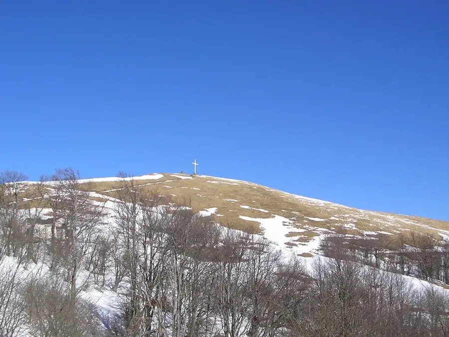
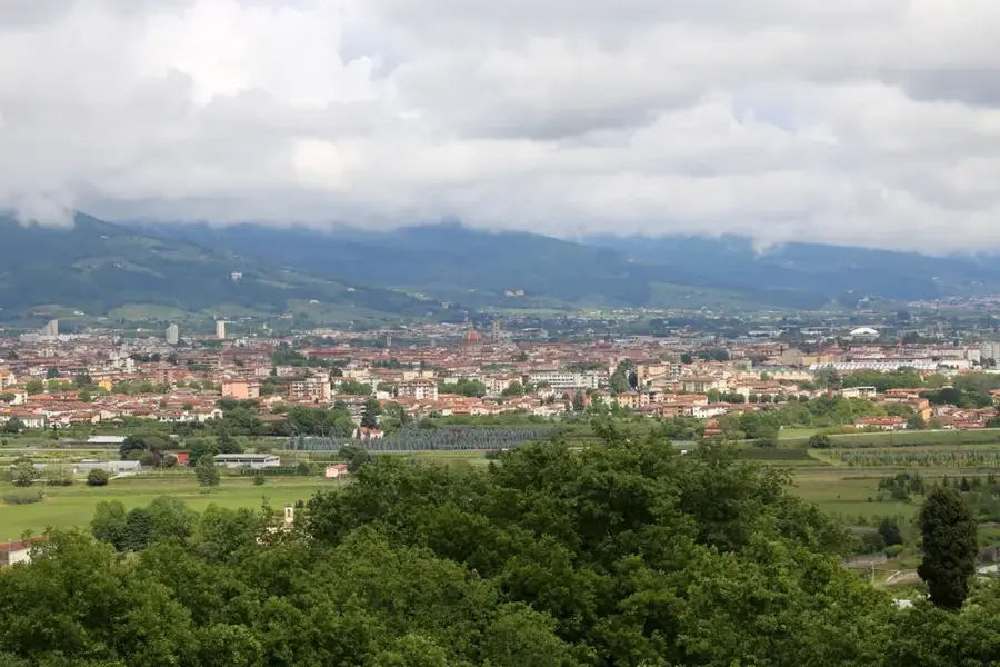
Monte Antola, rising to 1,597 meters, is one of the most famous and popular hiking destinations in the Ligurian Apennines, located northeast of Genoa. It forms the core of the Antola Regional Park and is renowned for its gentle, grassy slopes and extraordinary spring floral displays, particularly narcissi and orchids. The mountain was a vital hub for ancient trade routes connecting the coast to the Po Valley, such as the historical Salt Road. A large iron cross stands at the summit, offering a panorama that includes Lake Brugneto and the distant Alpine ranges under clear conditions. Below the peak sits the Rifugio Parco Antola mountain hut, a key base for hikers. The surrounding area is characterized by a rich cultural tradition, featuring old stone villages clinging to the hillsides. The mountain's geology consists mainly of limestone and marl, contributing to its distinctive relief forms.
- Location: Italy
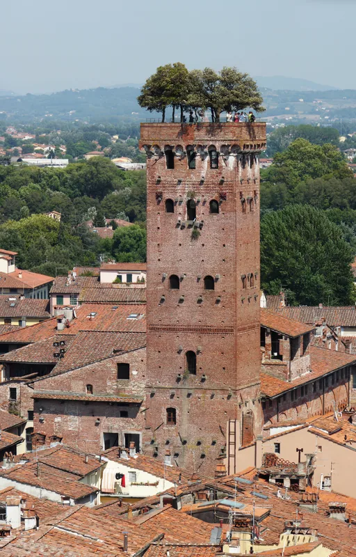
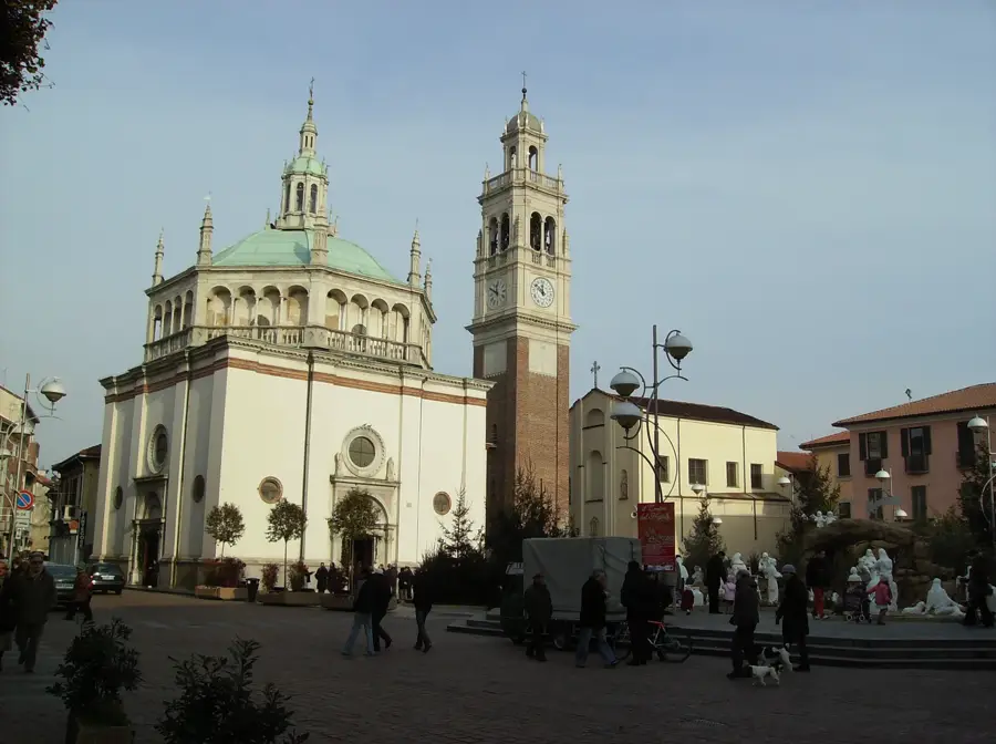
- Top sights: Sezione Etnologica "La stalla" · scavi di Torriglia Vecchia · Comune di Propata
- Nearby: Sori (22 km)
Best time to visit & climate
The most pleasant time to visit is Jun–Aug.
| Jan | Feb | Mar | Apr | May | Jun | Jul | Aug | Sep | Oct | Nov | Dec | |
|---|---|---|---|---|---|---|---|---|---|---|---|---|
| Avg °C | 4 | 5 | 8 | 12 | 16 | 20 | 23 | 23 | 19 | 14 | 9 | 5 |
| Rain mm | 56 | 60 | 71 | 71 | 67 | 47 | 34 | 49 | 61 | 97 | 145 | 79 |
📋 Practical info
Geography
Facts
- The official elevation of Monte Antola is 1,597 meters.
- The mountain sits on the watershed between the Scrivia and Trebbia valleys.
- The modern Rifugio Parco Antola hut was inaugurated in the year 2007.
- In May, thousands of wild narcissi cover the mountain's meadows.
- The artificial reservoir Lake Brugneto is visible from the summit.
- The mountain belongs to the Monte Maggiorasca group.
Explore nearby
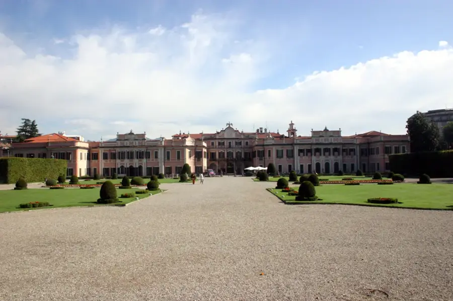
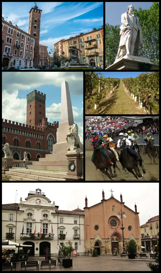
Notable places around
Route planner — Car & Motorhome
Where do you start? We build the route here, with stops and country notes along the way.
© OpenStreetMap contributors · OpenRouteService
Sights in the town Monte Antola (6)
Sights nearby
Frequently asked questions
Why is Monte Antola famous?
Where is this mountain located?
How high is it?
Is there a hut at the summit?
What is the Monte Antola festival?
Monte Antola: where is it located?
Monte Antola: what is there to see?
Monte Antola: when is the best time to visit?
Monte Antola: why is it worth visiting?

Nearby cities

More places