Plizio Visual Lab
Monte Meta
Weather…
Water temperature…
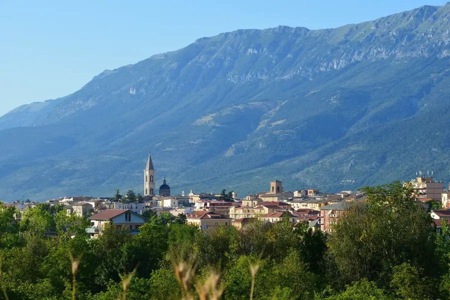
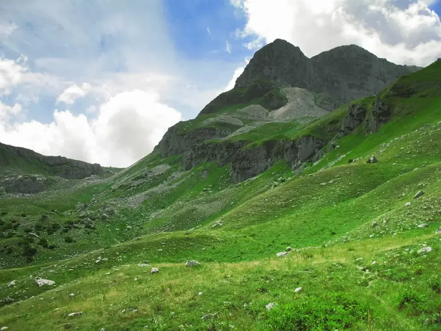
Monte Meta is a mountain in the Apennines, in the Lazio region, central Italy, on the border with Abruzzo. It is part of the Monti della Meta, a mountain range within the Abruzzo, Lazio and Molise National Park. At 2,242 m, it is one of the highest peaks of this range. The mountain is composed of limestone and is known for its karst landscapes, caves, and gorges. The region is densely forested with beech and, on lower slopes, oak. Monte Meta is an important water catchment area with numerous springs feeding rivers such as the Melfa. Wildlife includes the Marsican brown bear, Apennine wolf, golden eagle, and lynx. The mountain is a popular destination for mountaineers and hikers, with challenging routes. Surrounding villages, such as Picinisco and San Donato Val di Comino, preserve traditional architecture. The summit provides panoramic views of the surrounding mountains and the Comino Valley.
- Location: Italy
- Top sights: Monte La Meta · Rocca Altiera · Santuario diocesano Maria Santissima di Canneto
- Nearby: Roccaraso (23 km)
Best time to visit & climate
The most pleasant time to visit is Jun, Aug, Sep.
| Jan | Feb | Mar | Apr | May | Jun | Jul | Aug | Sep | Oct | Nov | Dec | |
|---|---|---|---|---|---|---|---|---|---|---|---|---|
| Avg °C | 5 | 6 | 8 | 12 | 16 | 22 | 25 | 25 | 20 | 15 | 11 | 6 |
| Rain mm | 92 | 74 | 74 | 58 | 53 | 37 | 29 | 25 | 68 | 82 | 124 | 92 |
📋 Practical info
Geography
Facts
- Monte Meta is 2,242 m high.
- It is located in the Abruzzo, Lazio and Molise National Park, covering 50,000 hectares.
- The Marsican brown bear population in the park is about 50–60 individuals (2023).
- The Grotta di Pastena cave is nearby, with a length of 1.5 km.
- The municipality of Picinisco lies at 700 m altitude.
- The Melfa River is about 50 km long.
Explore nearby
Notable places around
Route planner — Car & Motorhome
Where do you start? We build the route here, with stops and country notes along the way.
© OpenStreetMap contributors · OpenRouteService
Sights in the town Monte Meta (3)
Sights nearby
Frequently asked questions
How high is Monte Meta?
What animals can be seen here?
Where does the hike start?
Is the summit accessible in winter?
Is a permit required?
Monte Meta: where is it located?
Monte Meta: what is there to see?
Monte Meta: when is the best time to visit?
Monte Meta: why is it worth visiting?

Nearby cities