Elodie Show 2027 Live
Italian pop sensation Elodie performs her spectacular live show at the PalaPrometeo Estra arena for an unforgettable musical night.
Plizio Visual Lab
Weather…
Water temperature…
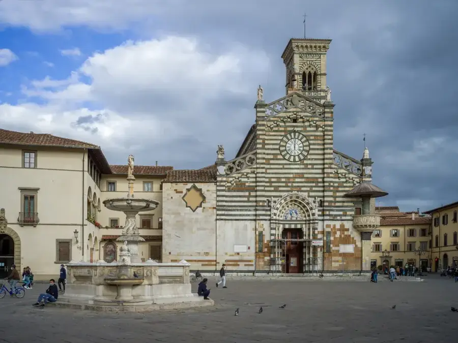
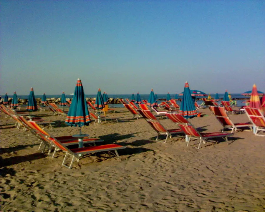
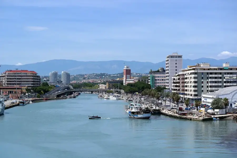
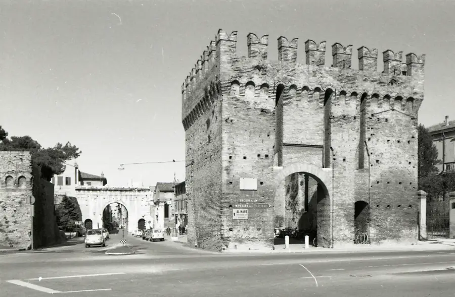
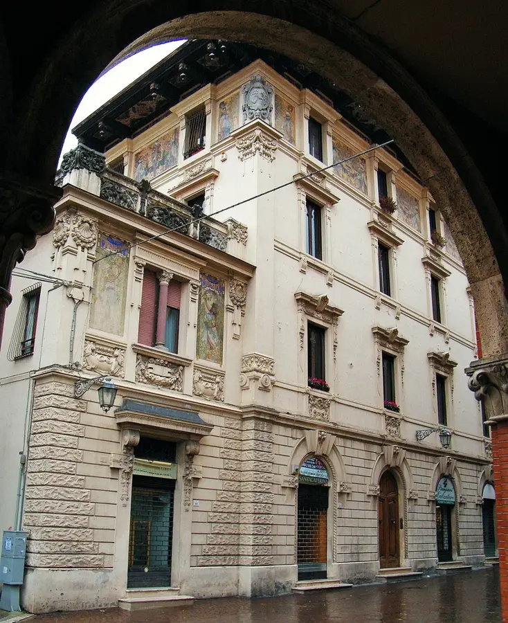
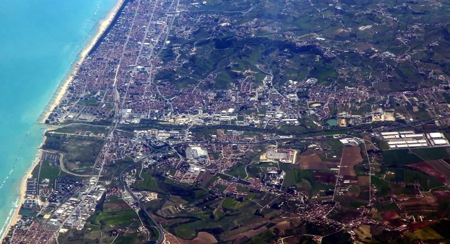
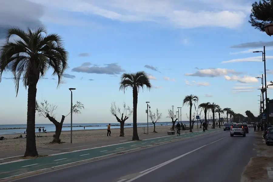
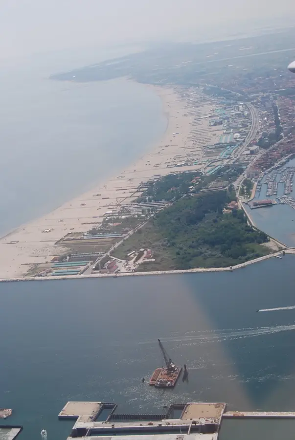
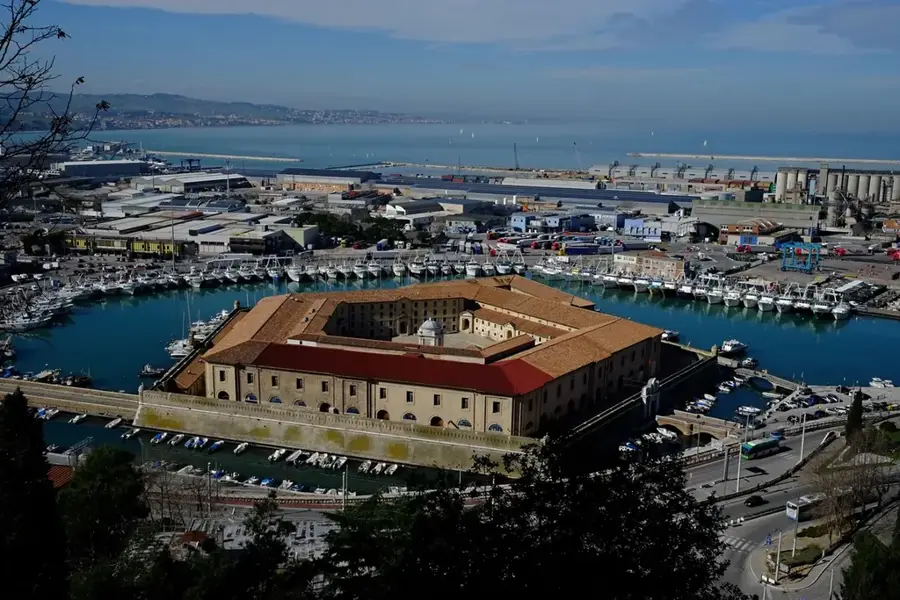
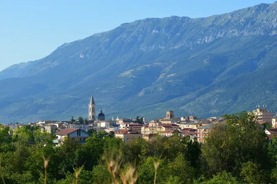
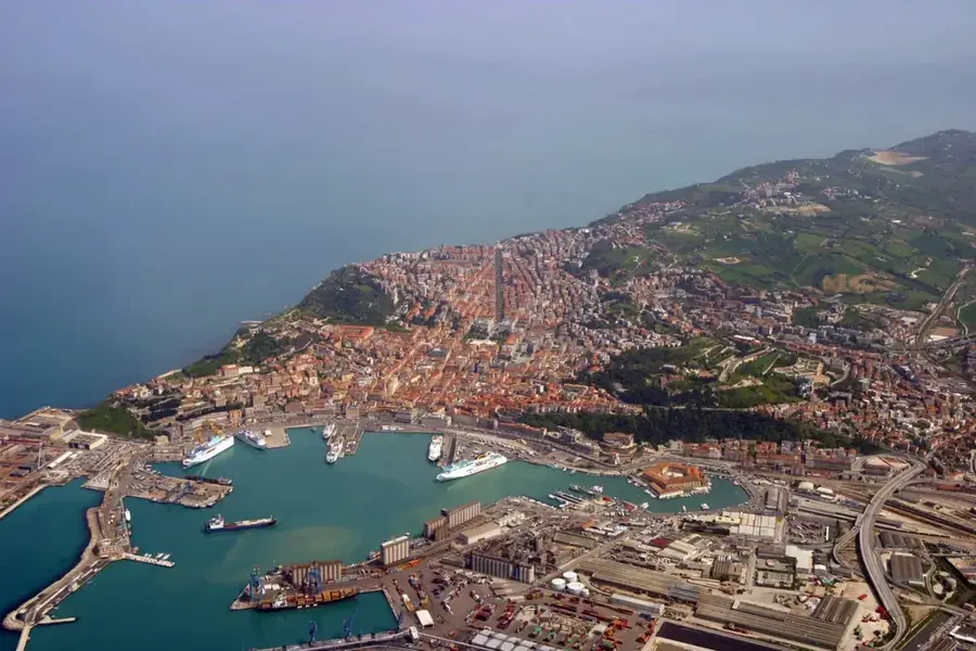
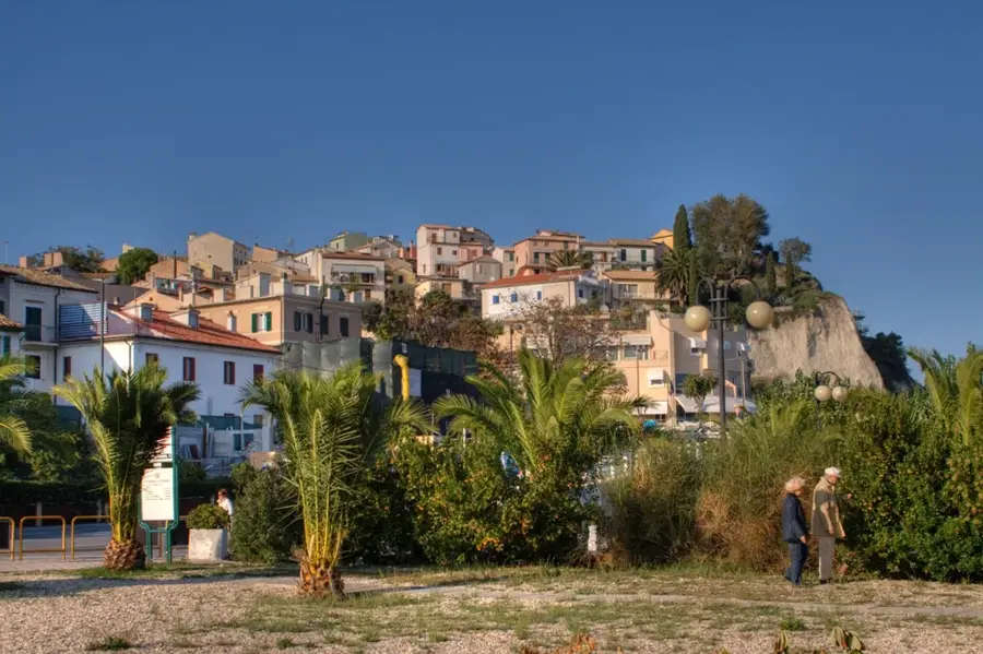
The Conero Regional Park, established in 1987, encompasses approximately 6,011 hectares in the Marche region, just south of Ancona. Its centerpiece is Mount Conero, a 572-meter limestone promontory that stands as the only significant high rocky section on the Adriatic coast between Trieste and the Gargano Peninsula. The park's landscape is defined by dense holm oak forests, Mediterranean maquis, and dramatic white limestone cliffs that overlook secluded coves such as the 'Due Sorelle' beach. Geologically, the massif dates back to the Cretaceous and Paleocene periods, featuring unique karst formations and ancient quarries used since Roman times. Historically, the area has seen human presence since the Paleolithic era, with significant Picenian, Greek, and Roman archaeological remains found throughout the territory. Today, the park serves as a vital ecological corridor for migratory birds, particularly raptors, and preserves a rich biodiversity including rare flora like the strawberry tree while supporting sustainable viticulture for the local Rosso Conero wine.
The most pleasant time to visit is May, Jun, Sep.
| Jan | Feb | Mar | Apr | May | Jun | Jul | Aug | Sep | Oct | Nov | Dec | |
|---|---|---|---|---|---|---|---|---|---|---|---|---|
| Avg °C | 9 | 9 | 11 | 14 | 18 | 23 | 26 | 26 | 22 | 18 | 14 | 11 |
| Rain mm | 70 | 81 | 74 | 59 | 60 | 43 | 37 | 39 | 72 | 73 | 83 | 75 |
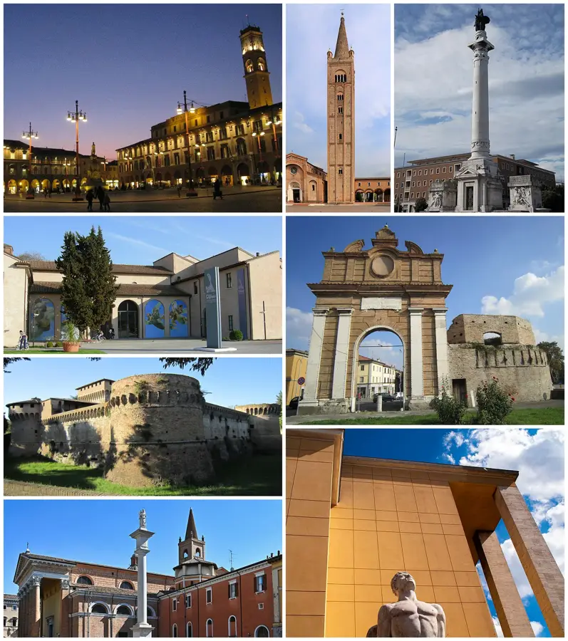
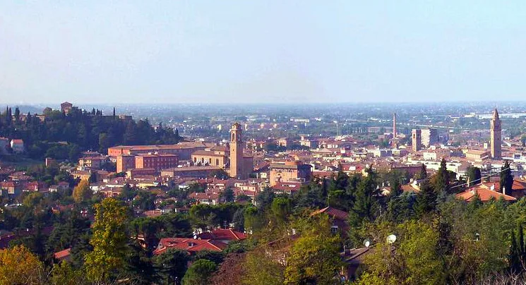
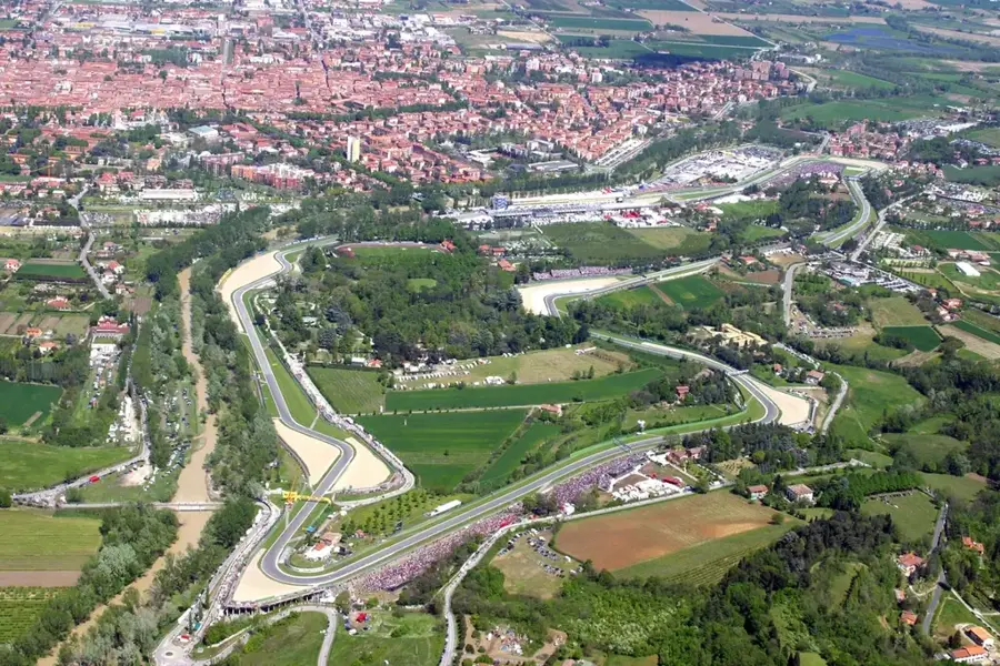
Notable places around
Where do you start? We build the route here, with stops and country notes along the way.
© OpenStreetMap contributors · OpenRouteService