Plizio Visual Lab
Burren National Park
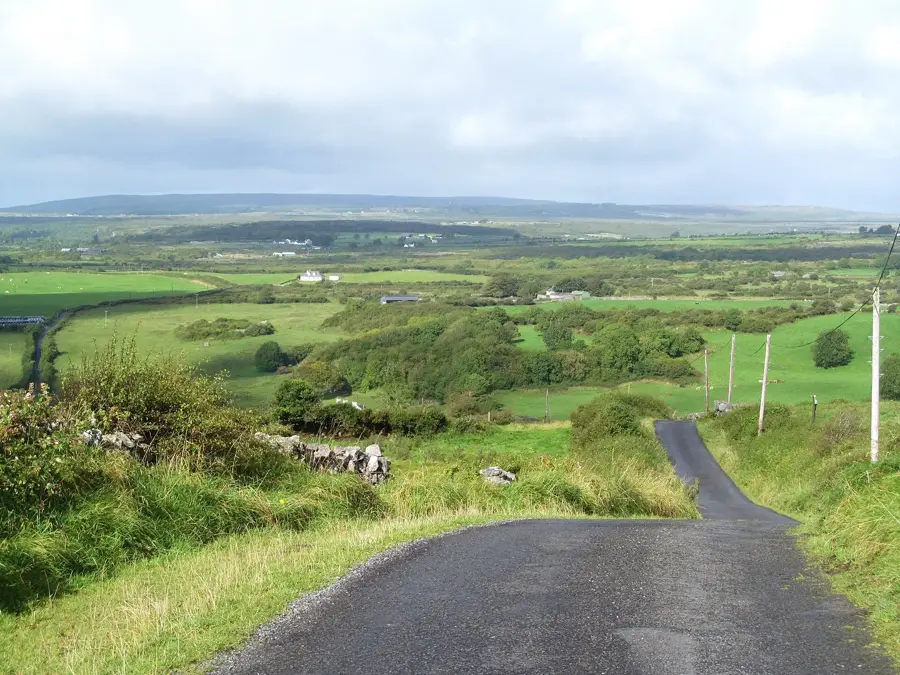
The Burren National Park, located in County Clare, covers approximately 1,500 hectares and represents one of the most distinctive karst landscapes in Europe. The region's vast limestone pavements were formed during the Carboniferous period, about 350 million years ago, beneath a shallow tropical sea. These characteristic glaciokarst features, crisscrossed by deep fissures known as grykes, harbor an extraordinary botanical diversity where Arctic, Alpine, and Mediterranean plant species thrive side-by-side. Historical human activity is evidenced by numerous megalithic monuments, including the Poulnabrone dolmen, which dates back over 5,000 years to the Neolithic era. Currently managed by the National Parks and Wildlife Service, the park serves as a critical habitat for rare fauna such as the pine marten and the peregrine falcon. Visitors can explore various waymarked trails that showcase this mineral wilderness, which despite its barren appearance, supports a rich and fragile ecological network.
- Location: Ireland
- Top sights: Slievenaglasha Wedge Tomb · Caherconnell · Poulnabrone Dolmen
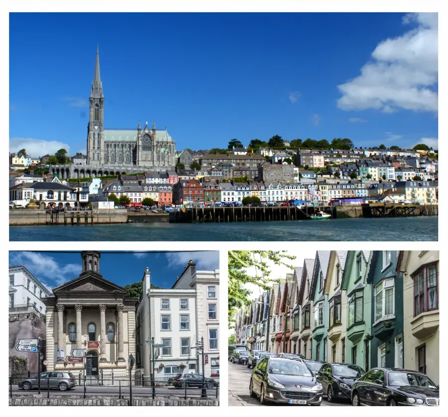
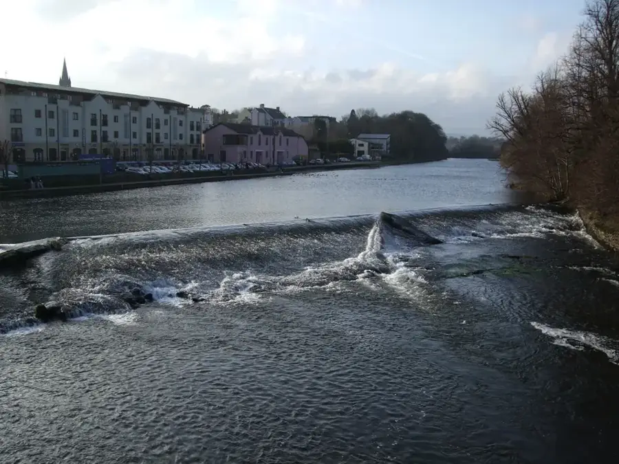
- Nearby: Fanore (15 km)
Best time to visit & climate
The most pleasant time to visit is Jun–Aug.
| Jan | Feb | Mar | Apr | May | Jun | Jul | Aug | Sep | Oct | Nov | Dec | |
|---|---|---|---|---|---|---|---|---|---|---|---|---|
| Avg °C | 5 | 5 | 6 | 8 | 11 | 14 | 15 | 15 | 13 | 10 | 8 | 6 |
| Rain mm | 118 | 92 | 86 | 73 | 84 | 90 | 100 | 107 | 91 | 108 | 132 | 124 |
📋 Practical info
Geography
Facts
- The park was established in 1991 as the smallest of Ireland's six national parks.
- Approximately 75% of all plant species found in Ireland are present in the Burren.
- The limestone layers reach a thickness of up to 800 meters in some areas.
- The name 'Burren' is derived from the Irish word 'Boireann', meaning 'rocky place'.
- Mullaghmore is the most prominent hill within the park, standing at 191 meters high.
- Over 28 different species of butterflies have been recorded within the park boundaries.
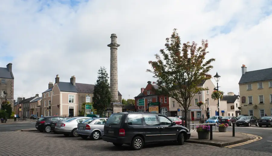
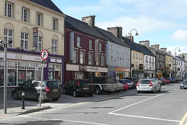
Explore nearby
Notable places around
Route planner — Car & Motorhome
Where do you start? We build the route here, with stops and country notes along the way.
© OpenStreetMap contributors · OpenRouteService
Sights in the town Burren National Park (3)
Sights nearby
Frequently asked questions
Why is the landscape in the Burren so rocky?
When do the rare flowers bloom?
Is there a free shuttle bus?
How difficult are the hiking trails?
Can you visit the park in the rain?
Burren National Park: where is it located?
Burren National Park: what is there to see?
Burren National Park: when is the best time to visit?
Burren National Park: why is it worth visiting?

Nearby cities