Plizio Visual Lab
Mullagh Mountain
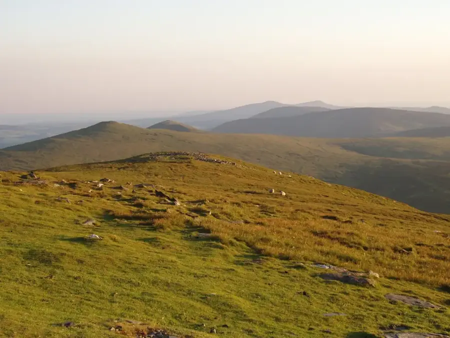
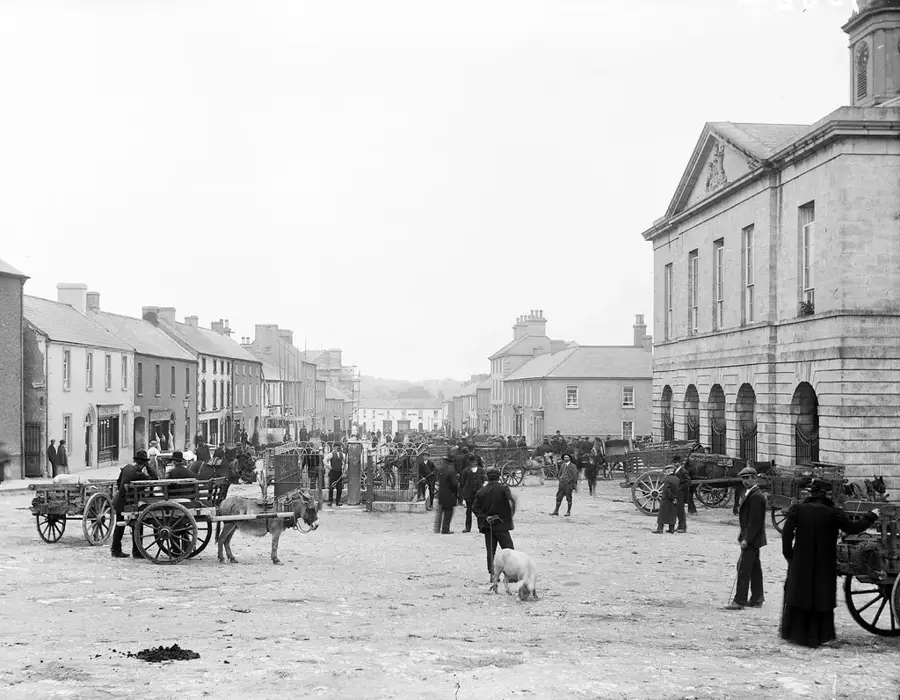
Mullagh Mountain is a 390-metre hill located in the heart of the Burren National Park in County Clare. It is world-renowned for its unique Carboniferous limestone karst landscape, which was sculpted by glacial activity during the last Ice Age. The mountain's surface is characterized by deep fissures known as grikes and smooth limestone pavements called clints, giving it a stark, almost lunar appearance. Mullagh Mountain is a botanical hotspot, where Arctic, alpine, and Mediterranean plants grow side by side, including the spring gentian and rare orchid species. The summit has wide-open views over the terraced hills of the Burren and towards Galway Bay to the west. Historically, the area has been inhabited since Neolithic times, evidenced by the numerous ringforts and portal tombs (dolmens) found in the vicinity. The region is also famous for its 'turloughs' or seasonal lakes that form in the limestone depressions. Today, Mullagh Mountain is a favorite destination for hikers and naturalists who appreciate the quiet, rugged beauty of this unique ecosystem. The National Park status ensures the preservation of this delicate environment.
- Location: Ireland
- Top sights: Ballyportry Castle · Dermot & Grania's Bed · Parkahilly Children's Burial Ground
- Nearby: Fanore (22 km)
Best time to visit & climate
The most pleasant time to visit is Jun–Aug.
| Jan | Feb | Mar | Apr | May | Jun | Jul | Aug | Sep | Oct | Nov | Dec | |
|---|---|---|---|---|---|---|---|---|---|---|---|---|
| Avg °C | 5 | 5 | 6 | 8 | 11 | 14 | 15 | 15 | 13 | 10 | 8 | 6 |
| Rain mm | 118 | 92 | 86 | 73 | 84 | 90 | 100 | 107 | 91 | 108 | 132 | 124 |
📋 Practical info
Geography
Facts
- Elevation: 390 metres above sea level
- Part of the unique Burren karst landscape
- Geology: Carboniferous limestone pavements
- Home to a mix of Arctic and Mediterranean flora
- Offers views of Galway Bay
- Surrounded by numerous Neolithic monuments
Explore nearby
Notable places around
Route planner — Car & Motorhome
Where do you start? We build the route here, with stops and country notes along the way.
© OpenStreetMap contributors · OpenRouteService
Sights in the town Mullagh Mountain (7)
Sights nearby
Frequently asked questions
In which region is Mullagh Mountain located?
What is special about the landscape?
Is there a marked hiking trail?
What plants can be found there?
What is the ground like for hiking?
Mullagh Mountain: where is it located?
Mullagh Mountain: what is there to see?
Mullagh Mountain: when is the best time to visit?
Mullagh Mountain: why is it worth visiting?

Nearby cities