Plizio Visual Lab
Shatt al-Arab
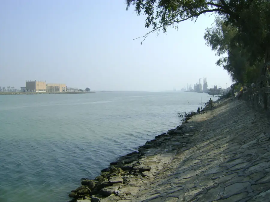
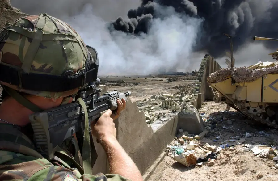
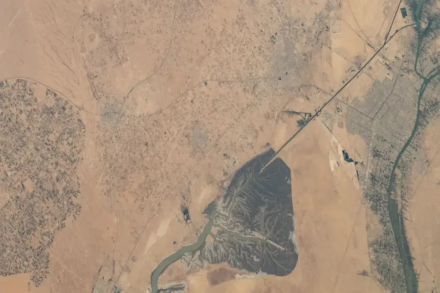
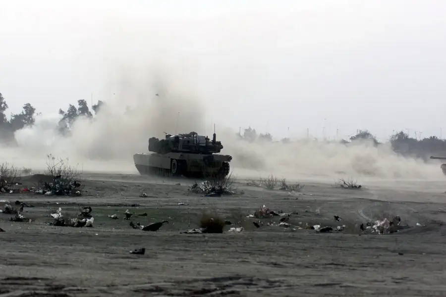
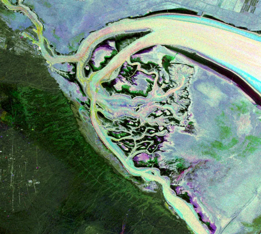
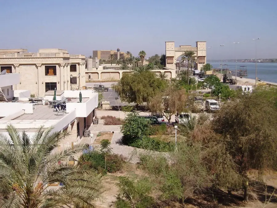
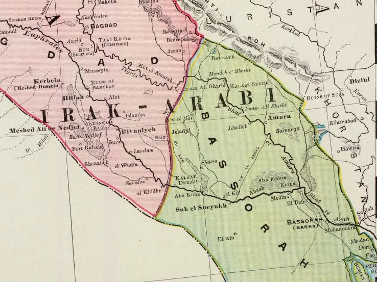
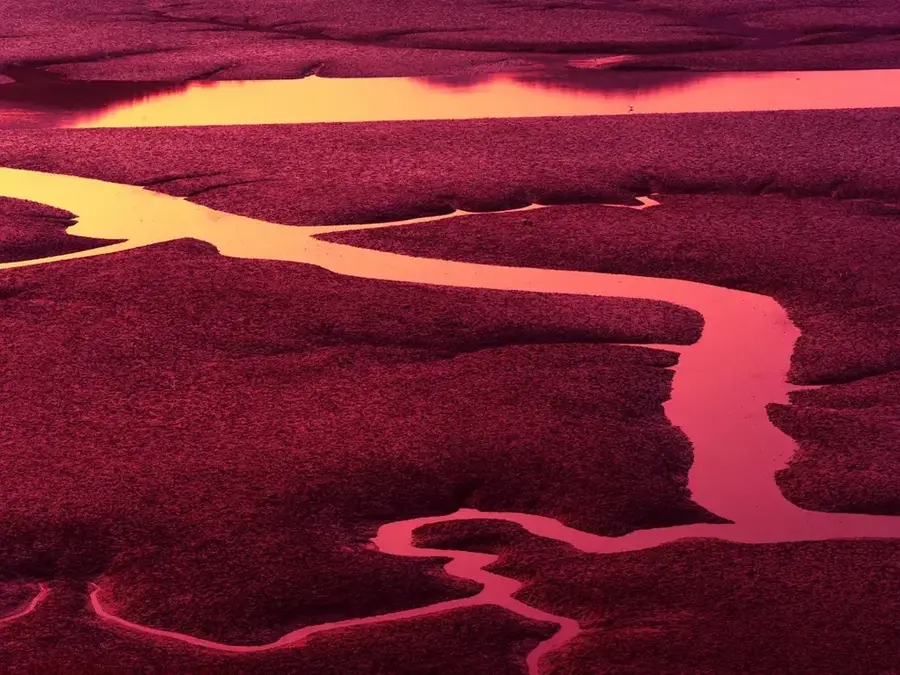
The Shatt al-Arab channel is constituted as a major aquatic flow with a development length of about 200 kilometers, located in the extreme southern zone of the state of Iraq, geographically resulting from the union of the courses of the Euphrates and Tigris rivers near the settlement of Al-Qurna. It functions as a natural line for marking the geopolitical border over a continuous distance of tens of kilometers between the Iraqi state and the Islamic Republic of Iran. Its banks shelter the infrastructure of the port metropolis Basra, which thus benefits from uninterrupted access to the maritime navigation system. In historical periods, Shatt al-Arab was bordered by mammoth date palm plantations, many of these exploitations being eradicated due to military operations and accelerated salinization.
- Location: Iraq
- Top sights: Basra natural history museum · Basra Museum · Planetarium
Best time to visit & climate
The most pleasant time to visit is Mar, Apr, Nov.
| Jan | Feb | Mar | Apr | May | Jun | Jul | Aug | Sep | Oct | Nov | Dec | |
|---|---|---|---|---|---|---|---|---|---|---|---|---|
| Avg °C | 12 | 15 | 20 | 26 | 33 | 37 | 39 | 39 | 35 | 29 | 20 | 14 |
| Rain mm | 26 | 11 | 12 | 9 | 2 | 4 | 3 | 1 | 0 | 6 | 23 | 24 |
📋 Practical info
Geography
Facts
- Forms near Al-Qurna city by joining Euphrates and Tigris.
- Totals a natural course of over 200 kilometers.
- Flows into the Persian Gulf maritime sector near Fao city.
- At the mouth level, it reaches dimensions of up to 800 meters.
- Marks a strategic border segment between Iraq and Iran.
- Main navigation channel linking Basra port to the sea.
Explore nearby
Notable places around
Route planner — Car & Motorhome
Where do you start? We build the route here, with stops and country notes along the way.
© OpenStreetMap contributors · OpenRouteService
Sights in the town Shatt al-Arab (10)
Sights nearby
Frequently asked questions
How is the Shatt al-Arab formed?
Which major city lies on its banks?
Are there date palm forests there?
Is the river navigable?
Are there boat tours for tourists?
Shatt al-Arab: where is it located?
Shatt al-Arab: what is there to see?
Shatt al-Arab: when is the best time to visit?
Shatt al-Arab: why is it worth visiting?

Nearby cities


History & landmarks

Nature

More places