Plizio Visual Lab
Mount Bradost

Weather…
Water temperature…
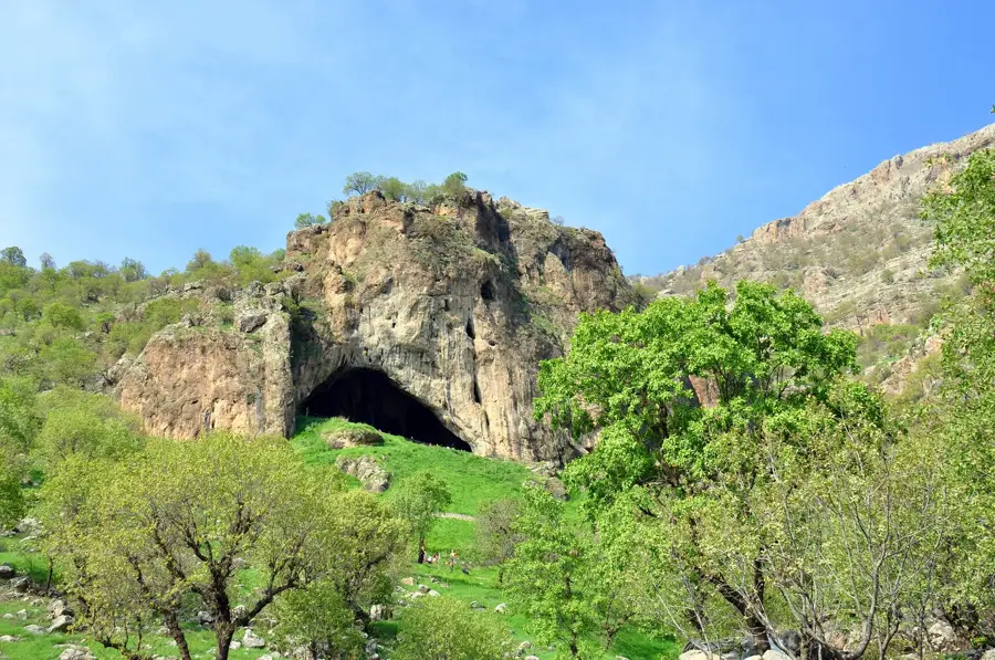
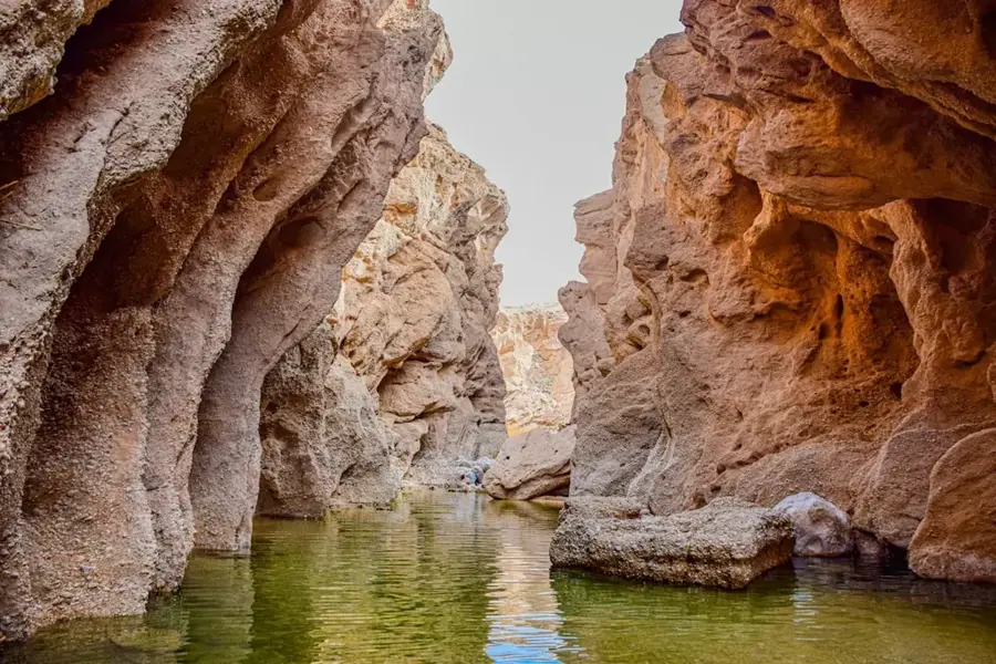
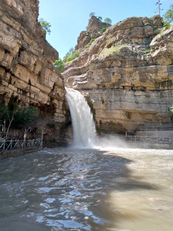
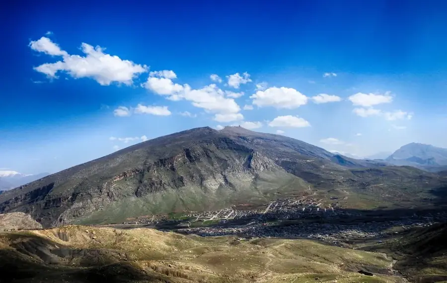
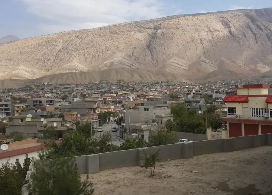
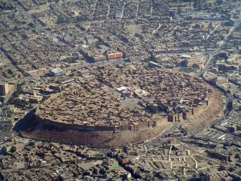
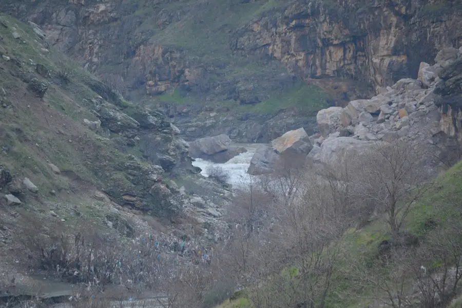
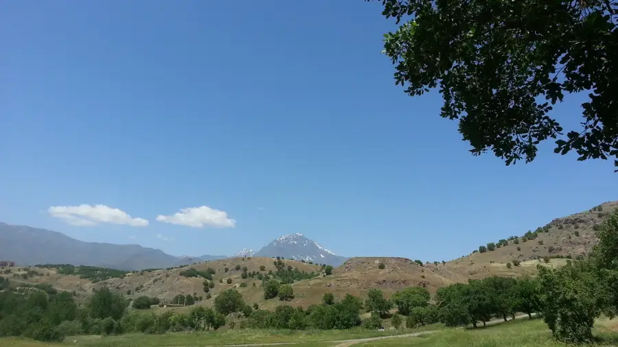
Mount Bradost is a significant mountain ridge located in the northeastern Erbil Governorate, near the town of Sidakan in northern Iraq. It stands as a prominent limestone massif, reaching an elevation of approximately 2,050 meters above sea level. The mountain gained global archaeological fame due to the Shanidar Cave, situated in its southern foothills, which contains remains of Neanderthals. These findings revolutionized the scientific understanding of human evolution and prehistoric social behavior. Geographically, Bradost is characterized by deep canyons and sheer rock faces, surrounded by sparse oak forests and alpine meadows. Historically, the region was the heartland of various Kurdish tribes and served as a strategic high point during regional border disputes. Today, it remains a vital site for archaeological research and a favored destination for hikers exploring its untouched natural beauty. The mountain's ecosystem supports diverse wildlife, including rare raptors and wild goats.
- Location: Iraq
- Top sights: Qasrok · Azadi) · Mandiyan
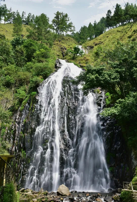
- Nearby: Gali Ali Beg (21 km)
Best time to visit & climate
The most pleasant time to visit is May, Jun, Sep.
| Jan | Feb | Mar | Apr | May | Jun | Jul | Aug | Sep | Oct | Nov | Dec | |
|---|---|---|---|---|---|---|---|---|---|---|---|---|
| Avg °C | 0 | 2 | 7 | 12 | 18 | 25 | 28 | 28 | 23 | 16 | 7 | 2 |
| Rain mm | 38 | 34 | 52 | 52 | 29 | 8 | 3 | 3 | 3 | 28 | 40 | 37 |
📋 Practical info
Geography
Facts
- Shanidar Cave on Mount Bradost yielded 10 Neanderthal skeletons.
- The mountain reaches a peak elevation of about 2,050 meters.
- Archaeologist Ralph Solecki first excavated the cave in the 1950s.
- The massif is renowned for its extensive karst cave formations.
- Located near the town of Sidakan in the Soran District.
- The region was once a central part of the ancient Kingdom of Musasir.
Explore nearby
Notable places around
Route planner — Car & Motorhome
Where do you start? We build the route here, with stops and country notes along the way.
© OpenStreetMap contributors · OpenRouteService
Sights in the town Mount Bradost (8)
Sights nearby
Frequently asked questions
Why is Mount Bradost historically important?
How high is the mountain?
Can you go hiking on Mount Bradost?
Is the mountain used for agriculture?
Are there rare plants there?
Mount Bradost: where is it located?
Mount Bradost: what is there to see?
Mount Bradost: when is the best time to visit?
Mount Bradost: why is it worth visiting?

Nearby cities
History & landmarks
More places