Plizio Visual Lab
Western Desert

Weather…
Water temperature…
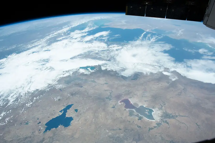
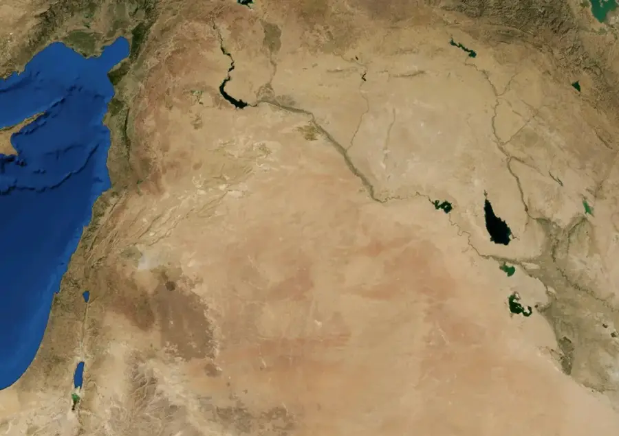
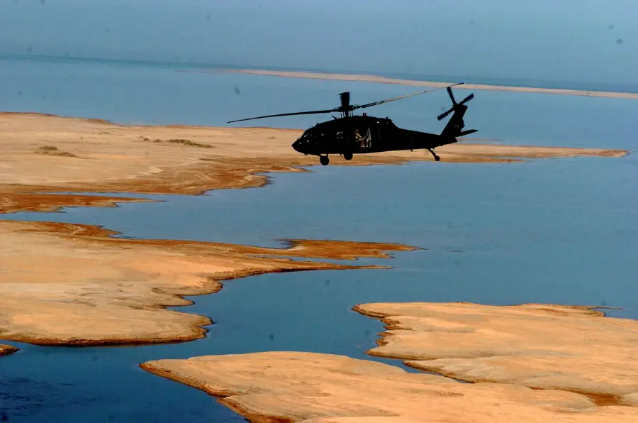
The Western Desert of Egypt, a vast segment of the Sahara, spans approximately 680,000 square kilometers, accounting for nearly two-thirds of the country's landmass. It stretches from the Nile Valley in the east to the Libyan border in the west, and from the Mediterranean coast south to the Sudanese border. This hyper-arid region is defined by its diverse topography, featuring immense sand seas, limestone plateaus, and significant geological depressions. The most notable is the Qattara Depression, which plunges to 133 meters below sea level, marking the lowest point in Egypt. Within this desolate landscape lie five primary oases, Siwa, Bahariya, Farafra, Dakhla, and Kharga, where artesian wells have sustained human life for thousands of years. Historically, the desert facilitated vital caravan trade routes and served as a major theater of military operations during World War II, specifically the pivotal Battles of El Alamein. In the modern era, the region has seen increased economic activity through extensive oil and natural gas exploration, alongside government-led land reclamation projects designed to expand Egypt's arable land and reduce population density in the Nile Valley.
Best time to visit & climate
The most pleasant time to visit is Apr, May, Oct.
| Jan | Feb | Mar | Apr | May | Jun | Jul | Aug | Sep | Oct | Nov | Dec | |
|---|---|---|---|---|---|---|---|---|---|---|---|---|
| Avg °C | 6 | 9 | 14 | 19 | 25 | 29 | 32 | 32 | 28 | 23 | 14 | 8 |
| Rain mm | 13 | 13 | 11 | 11 | 4 | 0 | 0 | 0 | 0 | 6 | 11 | 11 |
📋 Practical info
Geography
Facts
- The Western Desert covers roughly 68% of Egypt's total land area.
- The Qattara Depression is the lowest point in Egypt, reaching 133 meters below sea level.
- The Great Sand Sea contains massive dunes that can reach heights of 100 meters.
- The White Desert National Park is famous for its unique chalk rock formations created by wind erosion.
- Siwa Oasis is home to the Temple of the Oracle, visited by Alexander the Great in 331 BCE.
- The region sits atop the Nubian Sandstone Aquifer System, one of the world's largest freshwater sources.
Explore nearby
Notable places around
Route planner — Car & Motorhome
Where do you start? We build the route here, with stops and country notes along the way.
© OpenStreetMap contributors · OpenRouteService
Sights nearby
Frequently asked questions
What is special about the Western Desert?
What is the terrain like?
What should one keep in mind when visiting?
When is it safest?
Are there places to see there?
Western Desert: where is it located?
Western Desert: when is the best time to visit?
Western Desert: why is it worth visiting?

Nearby cities
Nature
More places