Plizio Visual Lab
Hengill
Weather…
Water temperature…
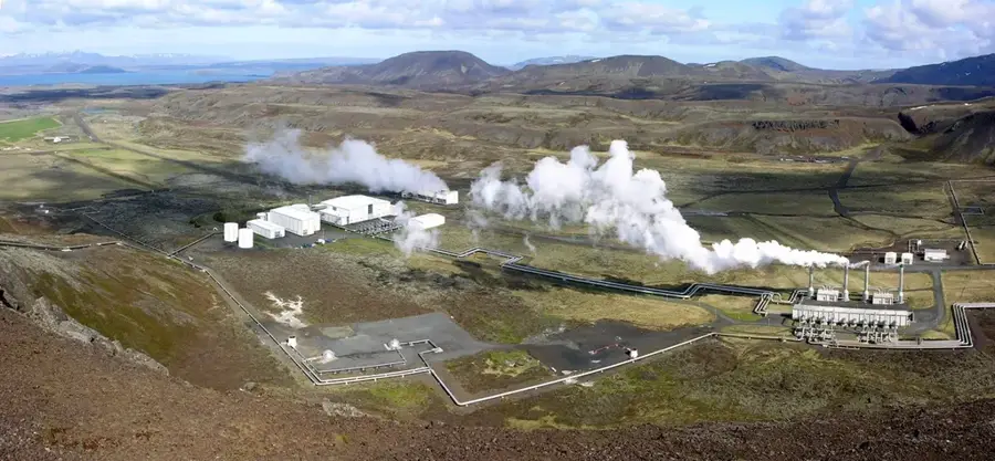
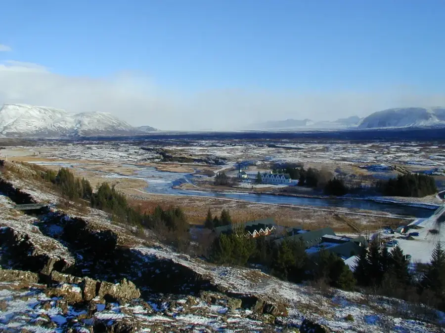
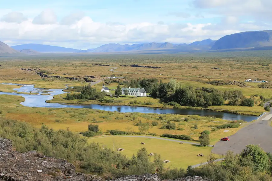
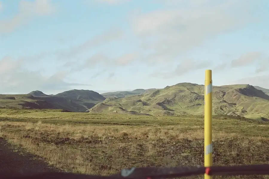
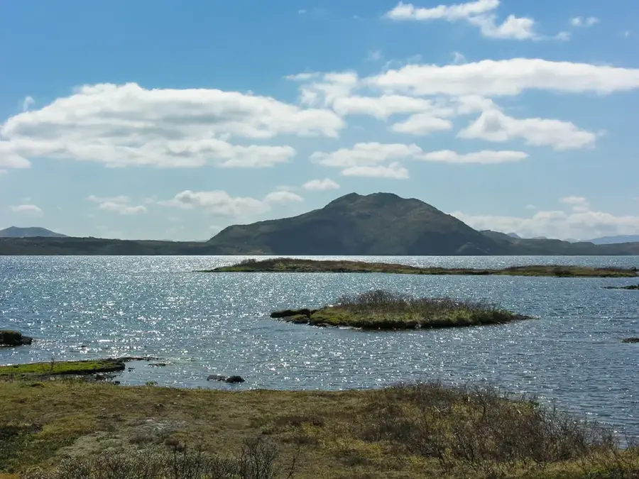
Hengill is an imposing volcanic massif in southwest Iceland, located near the capital Reykjavík, covering an area of about 100 square kilometers. The highest point of the massif, Skeggjahluti, reaches an elevation of 803 meters. Geologically, Hengill consists of several craters and fissure systems that are part of an active volcanic zone. The region is of immense economic importance as it forms the basis for the Hellisheiði and Nesjavellir power stations, which provide much of the capital's geothermal energy and hot water. Beyond industrial use, Hengill is a popular destination for hikers, featuring a well-developed network of trails through steaming fumarole fields and hot springs. Historically, the area was mentioned in the Icelandic Sagas, confirming its long-standing cultural roots. The landscape is characterized by rugged lava formations and deep fissures that testify to the tectonic stretching of the island.
- Location: Iceland
- Nearby: Mosfellsbær (20 km)
Best time to visit & climate
The most pleasant time to visit is Jun–Aug.
| Jan | Feb | Mar | Apr | May | Jun | Jul | Aug | Sep | Oct | Nov | Dec | |
|---|---|---|---|---|---|---|---|---|---|---|---|---|
| Avg °C | -1 | -1 | 0 | 3 | 6 | 9 | 11 | 10 | 8 | 4 | 1 | -1 |
| Rain mm | 179 | 162 | 161 | 123 | 96 | 86 | 105 | 121 | 184 | 149 | 149 | 182 |
📋 Practical info
Geography
Facts
- The highest peak Skeggjahluti stands at 803 meters.
- The last volcanic eruption occurred about 2000 years ago.
- The Hellisheiði power plant is one of the largest in the world.
- The hiking network covers over 100 kilometers of marked trails.
- Hengill is at the intersection of three tectonic systems.
- Geothermal boreholes reach depths of up to 3000 meters.
Explore nearby
Notable places around
Route planner — Car & Motorhome
Where do you start? We build the route here, with stops and country notes along the way.
© OpenStreetMap contributors · OpenRouteService
Sights nearby
Frequently asked questions
Where is Hengill located?
How is the energy used there?
Can you go hiking there?
What is Reykjadalur valley?
Is the volcano still active?
Hengill: where is it located?
Hengill: when is the best time to visit?
Hengill: why is it worth visiting?

Nearby cities


History & landmarks


Nature
More places