Plizio Visual Lab
Esja
Weather…
Water temperature…
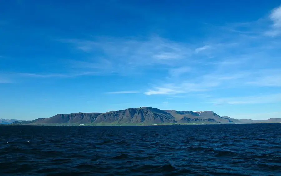
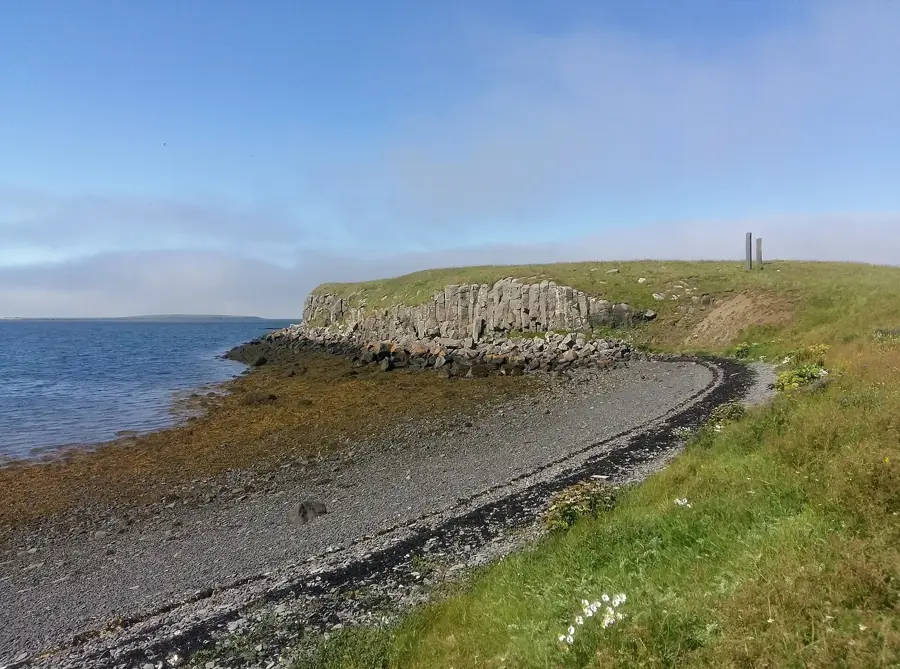
Esja, often referred to as Esjan, is a massive volcanic mountain range that dominates the northern skyline of Reykjavík. Contrary to popular belief, it is not a single mountain but a range formed approximately 1.8 to 3.2 million years ago. Its geology is diverse, consisting of alternating layers of basalt and tuff stone, reflecting different phases of volcanic activity. The highest peak is Habi at 914 meters, though the viewpoint of Þverfellshorn (780 meters) is the most popular destination for hikers. Esja is the most frequented outdoor recreation area for residents of the capital, offering numerous marked trails of varying difficulty. Due to its exposed position, weather conditions can change rapidly, and the mountain is known for significant avalanche risks during the winter months.
- Location: Iceland
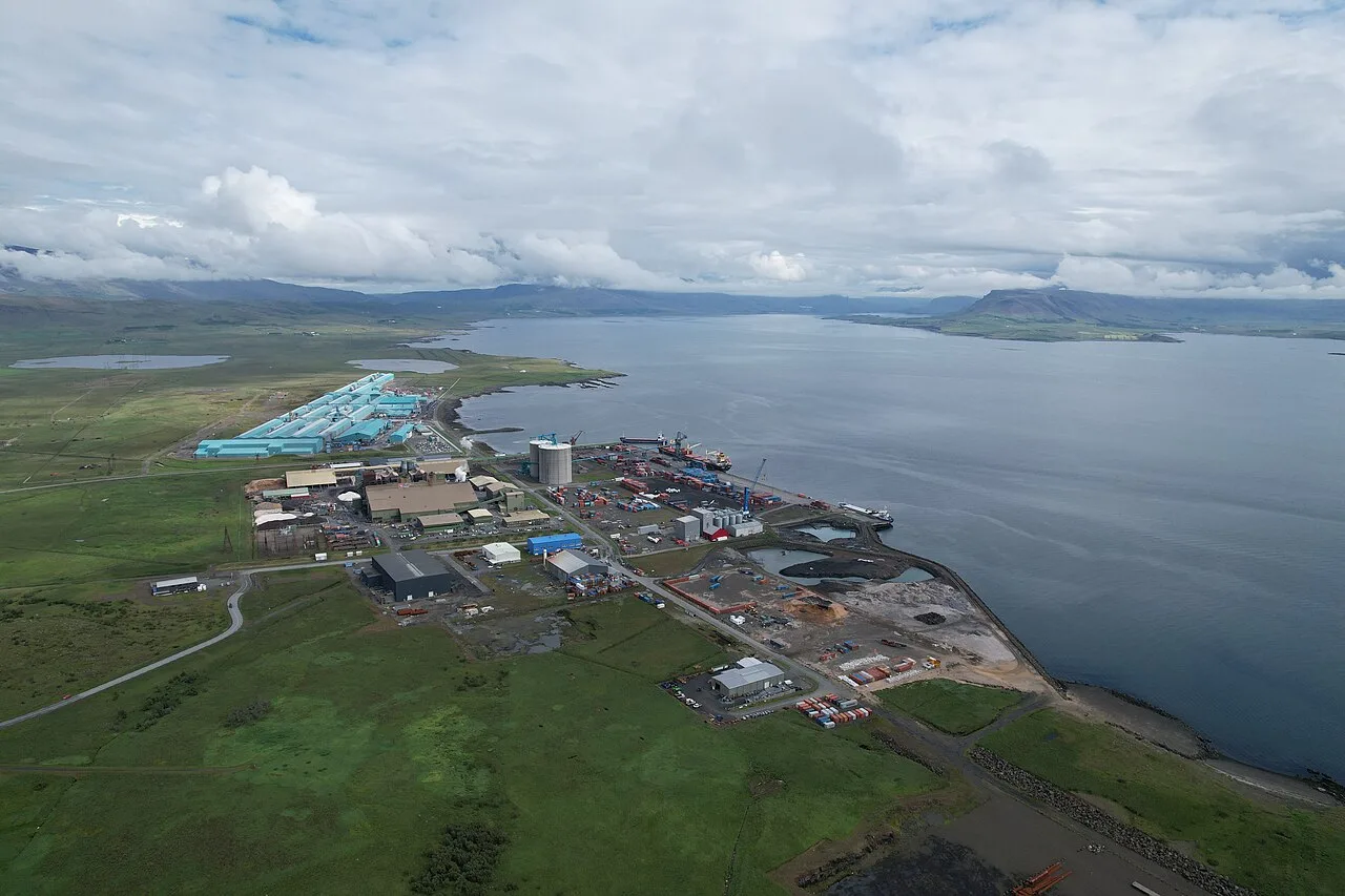
- Nearby: Mosfellsbær (10 km)
Best time to visit & climate
The most pleasant time to visit is Jun–Aug.
| Jan | Feb | Mar | Apr | May | Jun | Jul | Aug | Sep | Oct | Nov | Dec | |
|---|---|---|---|---|---|---|---|---|---|---|---|---|
| Avg °C | -4 | -4 | -3 | 1 | 4 | 9 | 10 | 9 | 6 | 1 | -2 | -3 |
| Rain mm | 160 | 148 | 141 | 111 | 87 | 77 | 92 | 101 | 155 | 123 | 129 | 159 |
📋 Practical info
Geography
Facts
- Highest peak (Habi) stands at 914 meters
- Geological age is between 1.8 and 3.2 million years
- Þverfellshorn (780 m) is the most popular hiking summit
- Composed of basalt and volcanic tuff layers
- Located approximately 10 kilometers north of Reykjavík
- Features a series of trails marked by difficulty levels
Explore nearby
Notable places around
Route planner — Car & Motorhome
Where do you start? We build the route here, with stops and country notes along the way.
© OpenStreetMap contributors · OpenRouteService
Sights nearby
Frequently asked questions
How far is Esja from Reykjavík?
What is 'Steinn'?
Is the hike difficult?
Can you hike Esja in winter?
Is there a cafe there?
Esja: where is it located?
Esja: when is the best time to visit?
Esja: why is it worth visiting?

Nearby cities


History & landmarks


More places