Plizio Visual Lab
Kab Hill
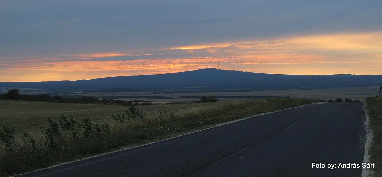
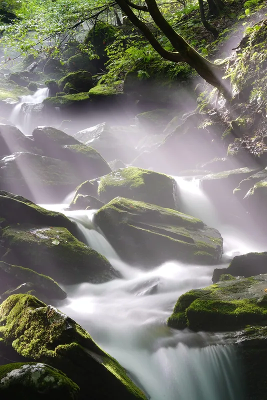
Mount Kab (Kab-hegy) is the highest peak of the Southern Bakony range, standing at 599 meters above sea level. Located in Veszprém County, north of the village of Nagyvázsony, it is a significant volcanic mountain characterized by a large basalt plateau. The summit is a prominent landmark in western Hungary due to its two large television broadcasting towers, which are visible from great distances. The mountain's slopes are predominantly covered by extensive beech and hornbeam forests, providing a rich habitat for red deer and wild boar. Mount Kab is a key destination for hikers, as the National Blue Trail (Kéktúra) passes directly over its summit. From the top and the nearby Kinizsi lookout tower, visitors can enjoy panoramic views stretching to Lake Balaton and the volcanic witness hills of the Tapolca Basin. The geological complexity of the mountain is further evidenced by numerous karst sinkholes and caves found around its base.
- Location: Hungary
- Nearby: Ajka (9 km)
Best time to visit & climate
The most pleasant time to visit is Jun–Aug.
| Jan | Feb | Mar | Apr | May | Jun | Jul | Aug | Sep | Oct | Nov | Dec | |
|---|---|---|---|---|---|---|---|---|---|---|---|---|
| Avg °C | -1 | 1 | 5 | 11 | 16 | 21 | 23 | 22 | 17 | 11 | 5 | 0 |
| Rain mm | 36 | 40 | 41 | 35 | 67 | 69 | 62 | 66 | 66 | 54 | 46 | 43 |
📋 Practical info
Geography
Facts
- Mount Kab is the highest point of Southern Bakony at 599 meters.
- The mountain was formed by basalt volcanism 5 million years ago.
- The broadcasting towers serve as major hubs for Transdanubian media.
- The peak is an official stamping point for the National Blue Trail.
- The slopes are home to several rare species of protected orchids.
- Sinkholes on the mountain are part of a complex karst drainage system.
Explore nearby
Notable places around
Route planner — Car & Motorhome
Where do you start? We build the route here, with stops and country notes along the way.
© OpenStreetMap contributors · OpenRouteService
Sights in the town Kab Hill (1)
Sights nearby
Frequently asked questions
How high is Kab-hegy?
Can you drive to the summit by car?
Is there a lookout tower on the mountain?
What is that large structure on the summit?
Are there marked hiking trails in the forest?
Kab Hill: where is it located?
Kab Hill: when is the best time to visit?
Kab Hill: why is it worth visiting?

Nearby cities

History & landmarks
Nature

More places