Plizio Visual Lab
Kettos-Koros

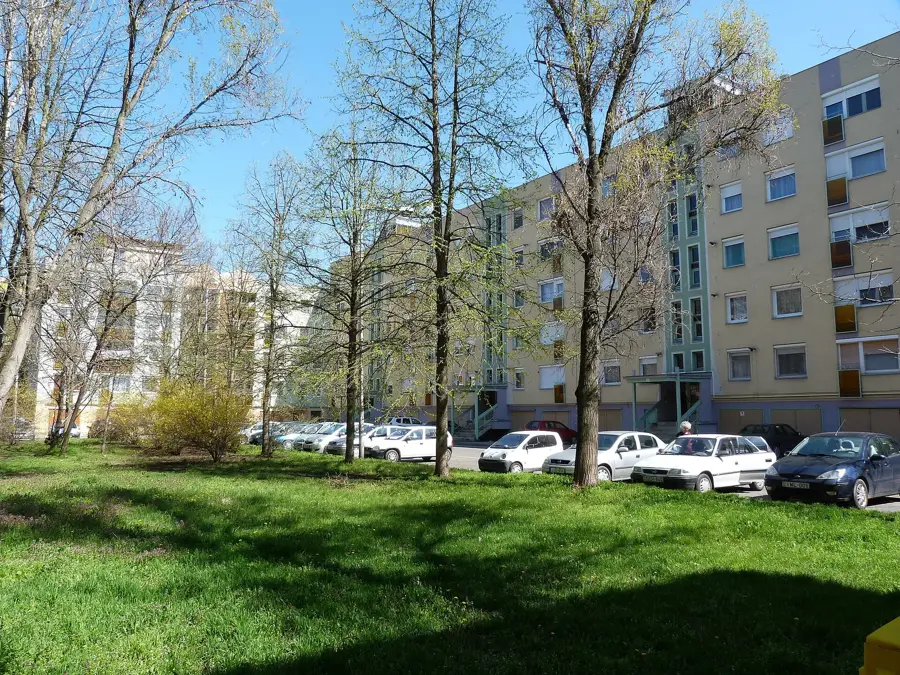
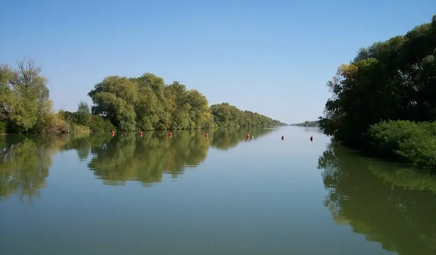
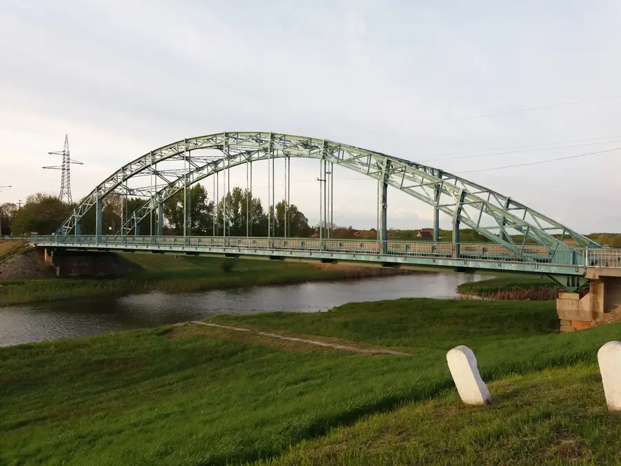
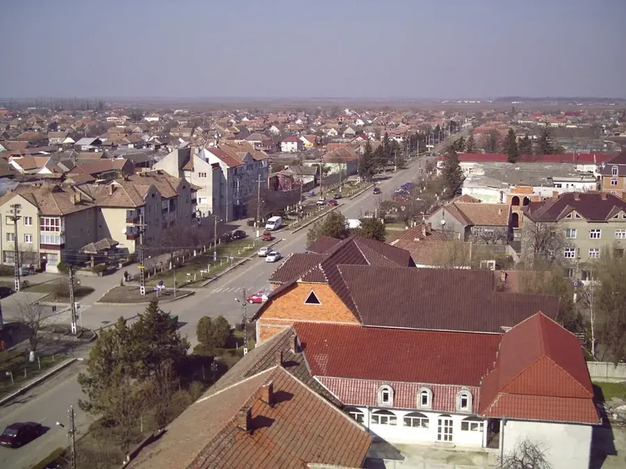
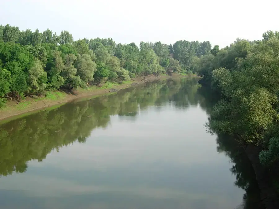
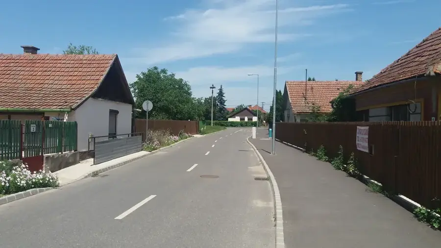
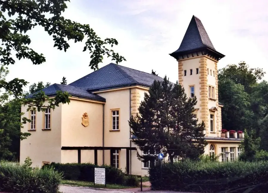
The Kettős-Körös (Double Koros) is formed near Doboz by the confluence of the Fehér- (White) and Fekete- (Black) Körös rivers, flowing through the heart of Békés County. This 37-kilometer-long river section is a favorite for water tourism due to its slow current and lush floodplain forests. The high levees built during river regulation not only provide flood protection but now serve as popular asphalted cycling routes. In the town of Békés, a modern small boat harbor and a public beach await visitors, combining the vibrancy of riverside life with the tranquility of nature. The oxbow lakes of the Kettős-Körös are excellent fishing spots where, besides large grass carp and carp, the rare European mudminnow may occur in quiet bays.
- Location: Hungary
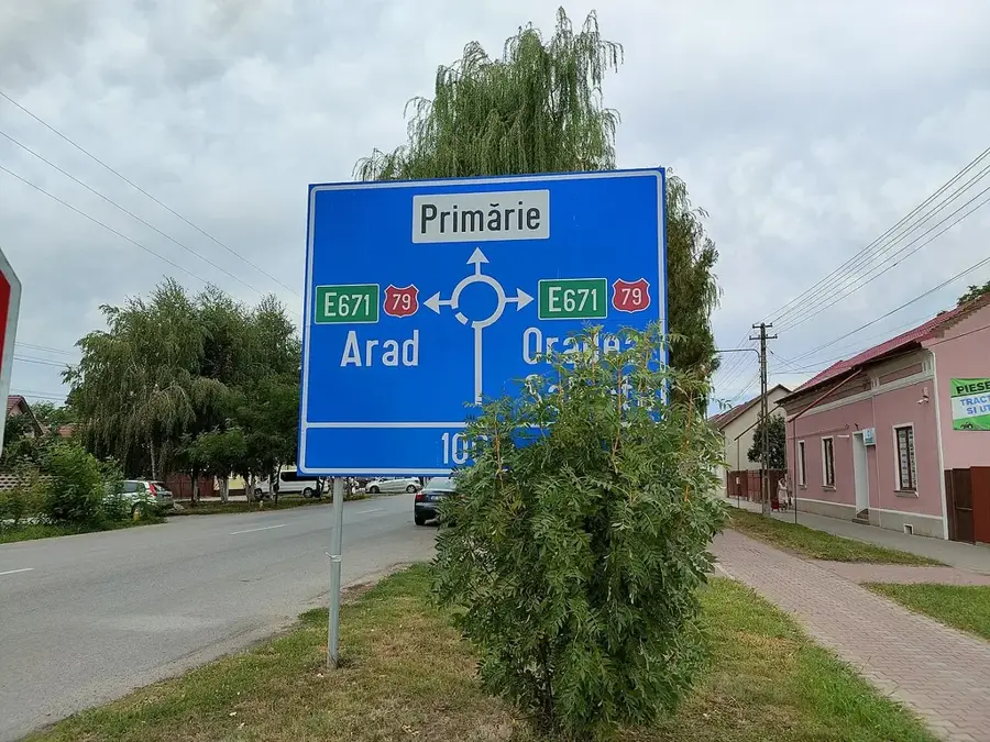
- Top sights: Békés · Békés District
- Nearby: Szentes (69 km)
Best time to visit & climate
The most pleasant time to visit is Jun, Aug, Sep.
| Jan | Feb | Mar | Apr | May | Jun | Jul | Aug | Sep | Oct | Nov | Dec | |
|---|---|---|---|---|---|---|---|---|---|---|---|---|
| Avg °C | -1 | 1 | 6 | 12 | 18 | 22 | 24 | 24 | 18 | 12 | 6 | 0 |
| Rain mm | 36 | 37 | 40 | 41 | 62 | 77 | 70 | 52 | 52 | 47 | 44 | 44 |
📋 Practical info
Geography
Facts
- River length is 37 km from the confluence of the White and Black branches.
- Home to the largest dam of this river branch at the town of Békés.
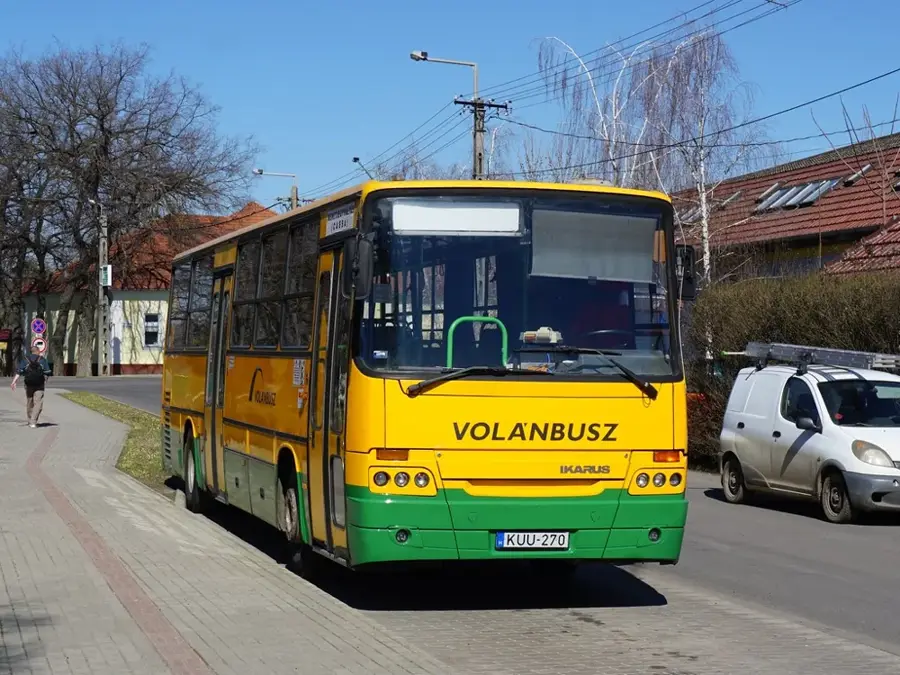
- Asphalted levee roads are a favorite for regional cycling tourists.
- Joins the Sebes-Körös at Gyomaendrőd to form the Hármas-Körös.
- Lined by extensive willow-poplar floodplain gallery forests.
- The Békés boat harbor is one of the most modern water bases in the region.
- Common fish species include carp, catfish, and asp.
- The riverbed serves as a vital ecological corridor in the southern Great Plain.
Explore nearby
Notable places around
Route planner — Car & Motorhome
Where do you start? We build the route here, with stops and country notes along the way.
© OpenStreetMap contributors · OpenRouteService
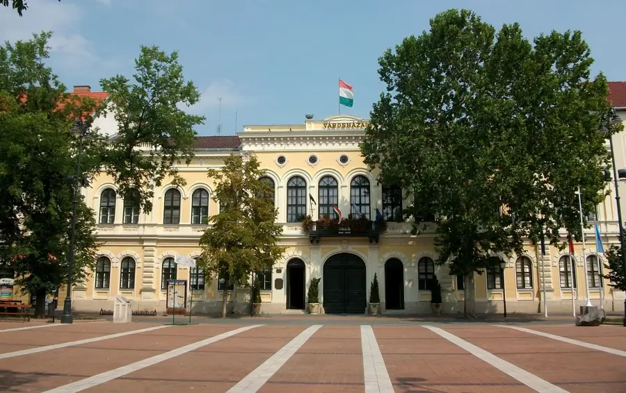
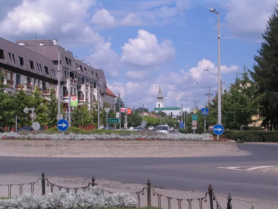
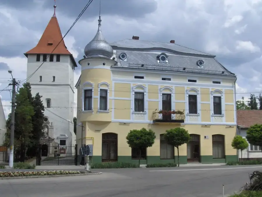
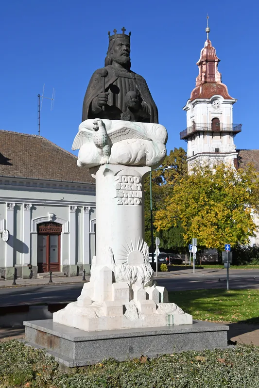
Sights in the town Kettos-Koros (2)
Sights nearby
Frequently asked questions
Why is the river called 'Kettős' (Double) Körös?
What is Szanazug?
Is there a ferry operating on the river?
What is the river's current like?
Can you camp on the riverbank?
Kettos-Koros: where is it located?
Kettos-Koros: what is there to see?
Kettos-Koros: when is the best time to visit?
Kettos-Koros: why is it worth visiting?

Nearby cities


History & landmarks
Nature
More places