Plizio Visual Lab
Gyál
ℹ️Practical info — Gyál
▾
🌤 Weather — 5 days
📍 Nearby
Sights nearby
💡 Tips
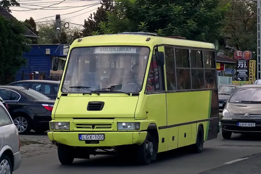
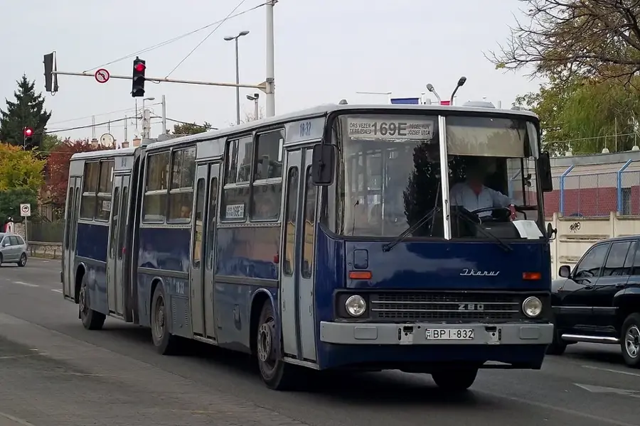
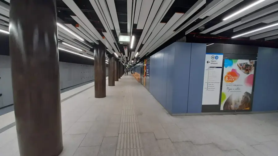
- Gyál is located very close to Budapest, making it easiest to access via suburban train or local bus.
- Parking in the town center is generally free of charge, but it can get quite busy on weekday mornings.
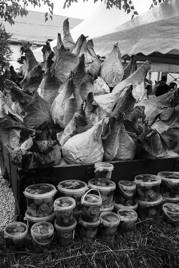
- Visit the local market to experience the authentic atmosphere and pick up fresh regional produce.
- If you want to spend time in nature, the forest belts on the outskirts of town provide great walking trails.
🍽 Food
Classic Hungarian deep-fried flatbread; look for small food stalls operating near the local market.
Visit a local confectionery along the main road for a slice of Dobos torte or Somlói dumplings.
A traditional Hungarian meat stew typically served with noodles, found in local inns (csárda).
🛍 Shopping · 🧘 Quiet spots
An excellent spot to purchase fresh seasonal vegetables and meat products straight from local farmers.
Stroll along Kőrösi Street to browse small, family-owned shops and local bakeries.
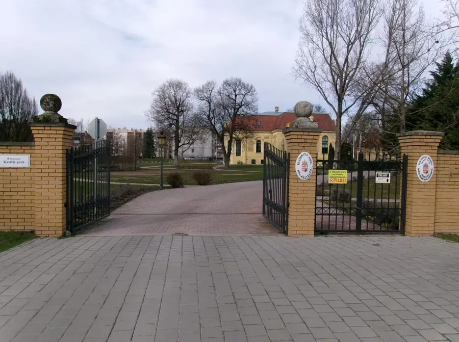
A small, well-kept park situated right in the center for a brief rest during the day.
The forested areas bordering the town offer peaceful trails for a relaxing walk away from traffic.
Water temperature…
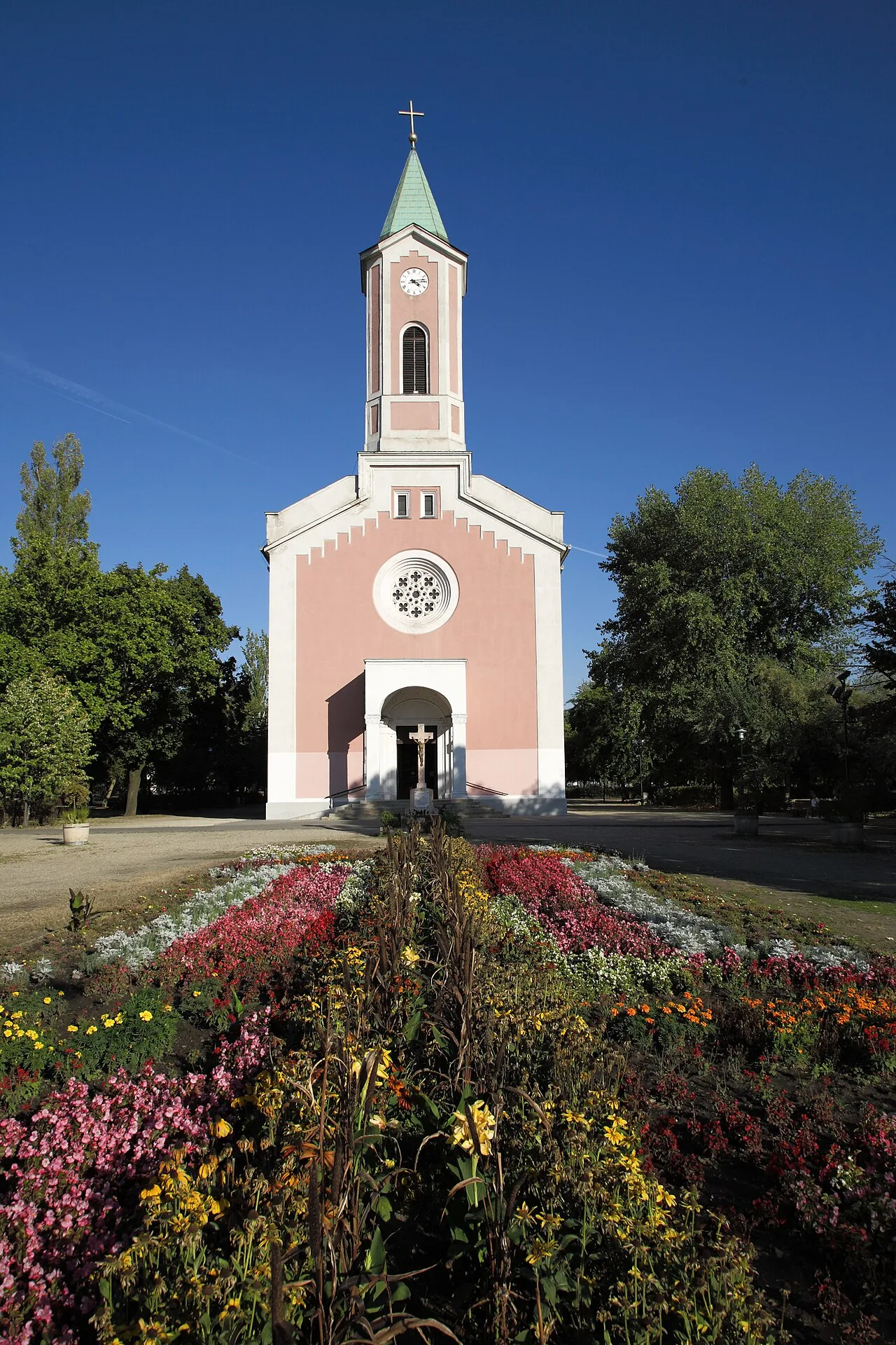
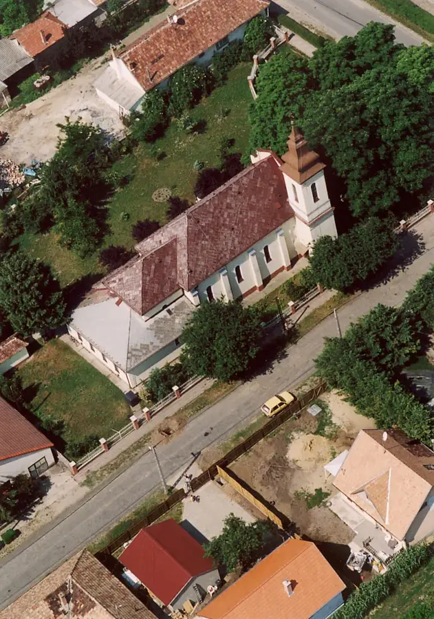
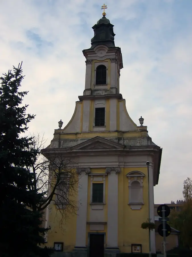
Gyál is a rapidly developing suburban town in Pest County, situated immediately southeast of Budapest. Historically first recorded in a royal charter in 1293 as "Gayul", the settlement remained largely agricultural until the mid-20th century. Following World War II, a dramatic population boom transformed it into a prominent residential suburb. Today, covering an area of 24.93 square kilometers, it functions as a crucial logistics and transportation hub within the Budapest metropolitan area, heavily benefiting from the nearby intersection of the M0 ring road and M5 motorway. The town's infrastructure has modernized significantly since receiving town status in 1997. Aside from residential zones, massive warehousing centers have been established on its outskirts, facilitating national distribution networks. The local Catholic church, built in 1983, serves as a modern architectural centerpiece for the community, reflecting the town's relatively recent suburban crystallization.
- Location: Hungary
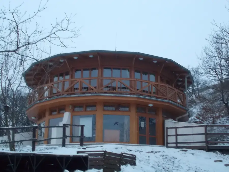
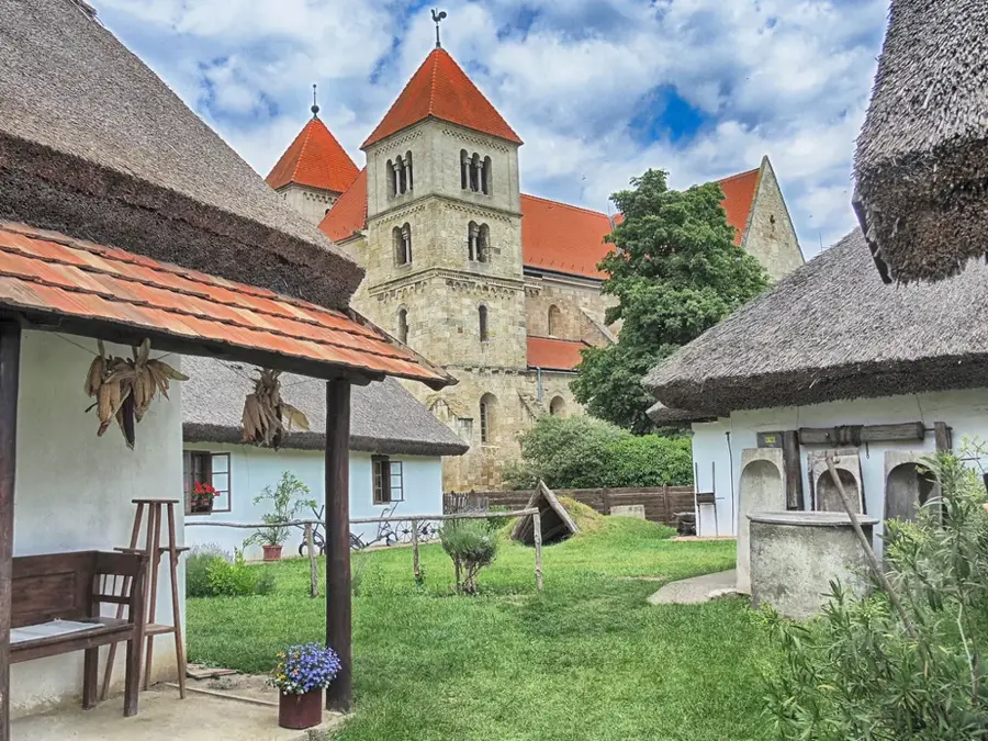
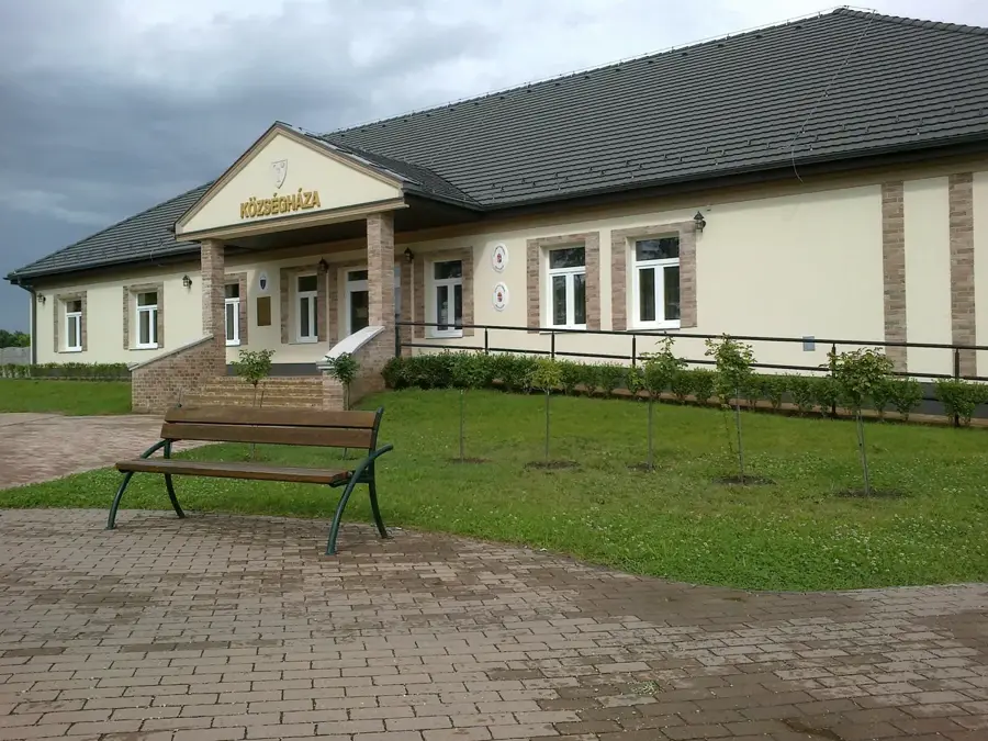
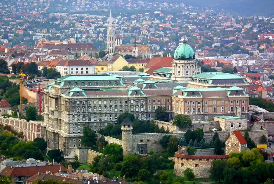
- Top sights: Millennium Park · Arany János Community House · Szent István király templom
- Nearby: Alsónémedi (8 km)
- Population: ~24.267
Best time to visit & climate
The most pleasant time to visit is Jun–Aug.
| Jan | Feb | Mar | Apr | May | Jun | Jul | Aug | Sep | Oct | Nov | Dec | |
|---|---|---|---|---|---|---|---|---|---|---|---|---|
| Avg °C | -2 | 0 | 5 | 11 | 16 | 21 | 23 | 22 | 17 | 11 | 5 | 0 |
| Rain mm | 39 | 40 | 41 | 35 | 65 | 70 | 66 | 63 | 57 | 51 | 44 | 43 |
Geography
Facts
- Total area covers 24.93 km²
- First royal charter mention in 1293
- Population exceeds 23,000 residents
- Officially granted town status in 1997
- Directly adjacent to the M5 motorway
- M0 ring road interchange established nearby
Explore nearby
Notable places around
Route planner — Car & Motorhome
Where do you start? We build the route here, with stops and country notes along the way.
© OpenStreetMap contributors · OpenRouteService
Sights in the town Gyál (4)
Frequently asked questions
Where is Gyál located?
Is it a residential or industrial town?
Are there parks in Gyál?
How can one get to Budapest?
Are there local markets?
Gyál: where is it located?
Gyál: what is there to see?
Gyál: when is the best time to visit?
Gyál: why is it worth visiting?

Nearby cities
History & landmarks


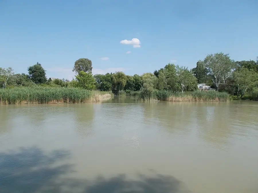
Nature

More places