Plizio Visual Lab
Berbice Bridge
Weather…
Water temperature…
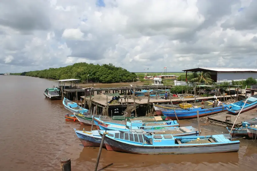
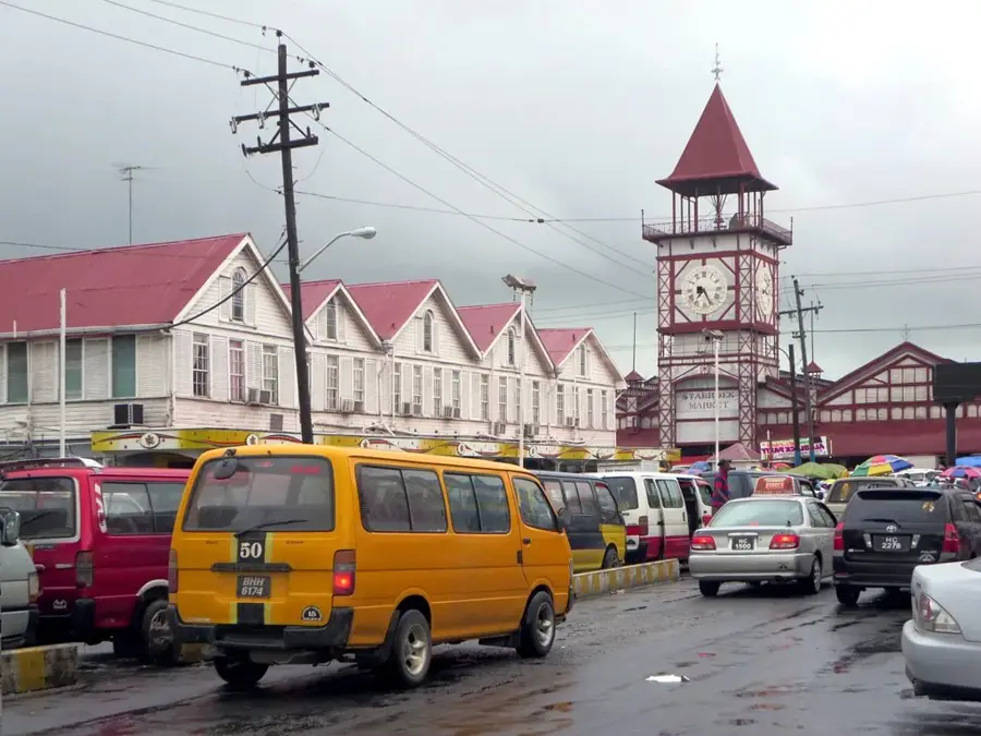
The Berbice Bridge is a major floating bridge in eastern Guyana, spanning the Berbice River between D'Edward Village and Rosignol. Opened in December 2008, it replaced the long-standing ferry service, drastically reducing travel time between the Berbice and Demerara regions. With a total length of approximately 1,570 meters, it is the second-longest bridge in the country after the Demerara Harbour Bridge. The construction consists of prefabricated steel sections supported by pontoons and includes a movable span to accommodate maritime traffic on the river. The project was financed through a public-private partnership, which has led to ongoing discussions regarding toll rates. Nevertheless, the bridge is an indispensable asset for commerce and agriculture, facilitating the transport of rice and sugar from the eastern regions to the capital. The Berbice Bridge symbolizes progress in national connectivity and serves as a vital pillar for regional economic development.
- Location: Guyana
- Top sights: The Six Cannons Military monument · Shieldstown Mandir · Ebenezer Lutheran Church
- Nearby: Bush Lot (15 km)
Best time to visit & climate
The most pleasant time to visit is Feb, Mar, Sep.
| Jan | Feb | Mar | Apr | May | Jun | Jul | Aug | Sep | Oct | Nov | Dec | |
|---|---|---|---|---|---|---|---|---|---|---|---|---|
| Avg °C | 27 | 26 | 27 | 27 | 27 | 27 | 27 | 28 | 28 | 28 | 28 | 27 |
| Rain mm | 144 | 106 | 93 | 144 | 275 | 268 | 255 | 166 | 82 | 84 | 120 | 204 |
📋 Practical info
Geography
Facts
- The bridge was officially commissioned on December 23, 2008.
- It spans a total distance of approximately 1,570 meters.
- The bridge features 39 spans supported by large steel pontoons.
- The design and hydraulic systems involved German engineering from Bosch Rexroth.
- It includes a 70-meter retractable section for vessel passage.
- The bridge significantly improved the link between Guyana and Suriname.
Explore nearby
Notable places around
Route planner — Car & Motorhome
Where do you start? We build the route here, with stops and country notes along the way.
© OpenStreetMap contributors · OpenRouteService
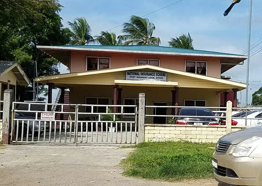
Sights in the town Berbice Bridge (10)
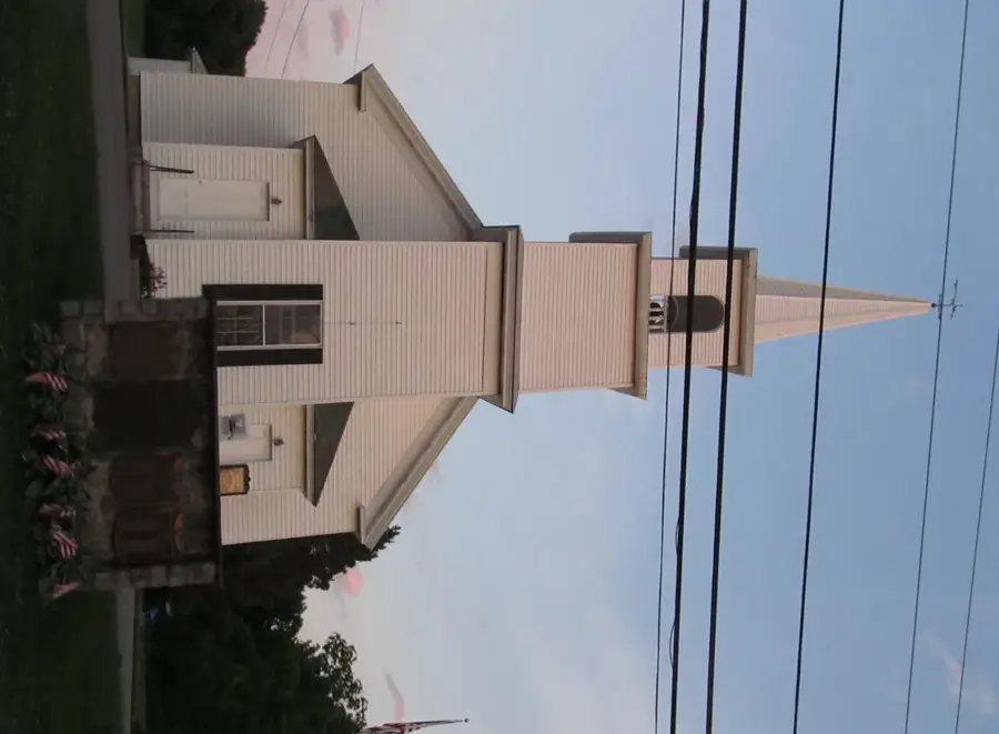
Presbyterian Church
Presbyterian church, gathering place for the faithful.
New Amsterdam Central Jamaat Masjid
Central mosque in New Amsterdam, prayer site for Muslims.
Rosignol - D' Edward Sunnahtul Jamaat
Mosque in Rosignol, for prayer and community activities.
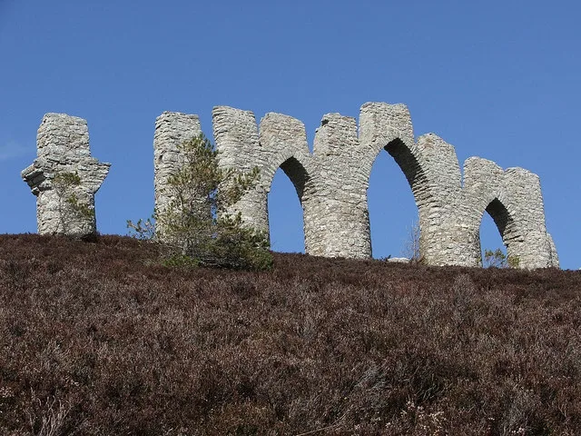
Fort St. Andries
Ruins of a historic fort.
Kingdom Hall
Meeting place for Jehovah's Witnesses.
No.4 sideline
Viewpoint offering a vista of the surroundings.
Sights nearby
Frequently asked questions
Which regions does the Berbice Bridge connect?
When was the Berbice Bridge opened?
How long is the bridge?
Is it a floating bridge?
Do you have to pay to cross?
Berbice Bridge: where is it located?
Berbice Bridge: what is there to see?
Berbice Bridge: when is the best time to visit?
Berbice Bridge: why is it worth visiting?

Nearby cities


Nature

More places