Plizio Visual Lab
Mahaicony Village
ℹ️Practical info — Mahaicony Village
▾
🌤 Weather — 5 days
📍 Nearby
Sights nearby
💡 Tips
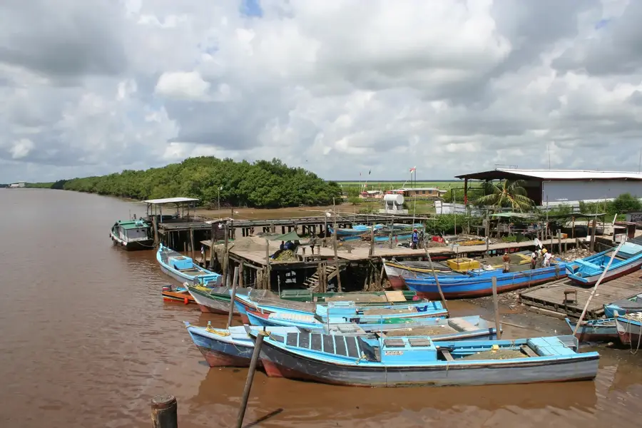
- Like Mahaica, the Mahaicony River is a highlight; try to arrange a river trip.
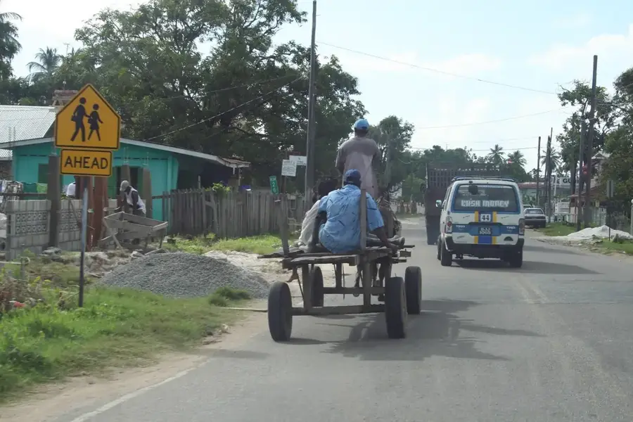
- The area is known for rice farming; the landscape is quite flat and green.
- It's a quiet community, so nightlife is minimal; enjoy the daytime activities.
- Public transport is via minibuses along the coast.
🍽 Food
A traditional ground provision dish found in local kitchens.
Split pea fritters, a popular street snack.
From the Mahaicony River, served in local homes or small eateries.
🛍 Shopping · 🧘 Quiet spots
For everyday items and cold drinks.
Selling fresh produce from the surrounding rice and vegetable farms.
Serene environment for fishing or relaxing.
Scenic, flat landscapes well-suited for photography in the late afternoon.
Water temperature…
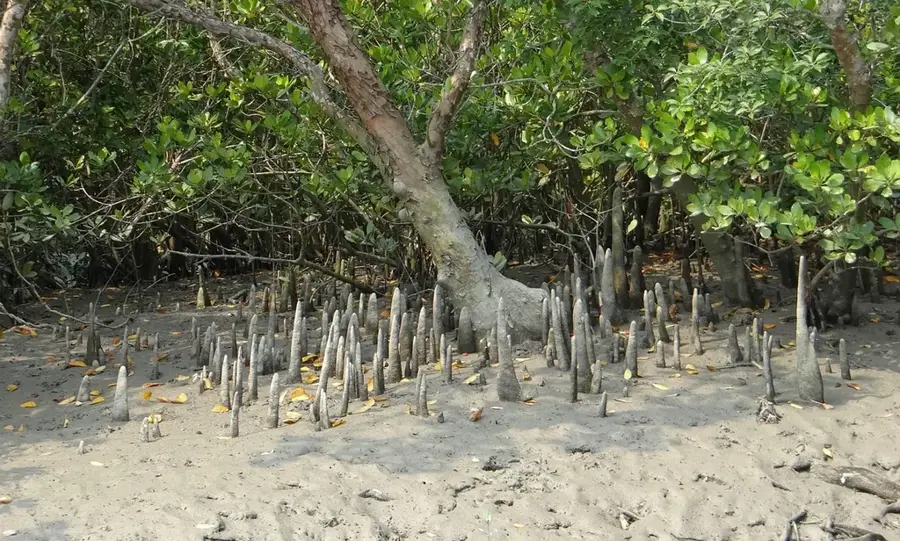
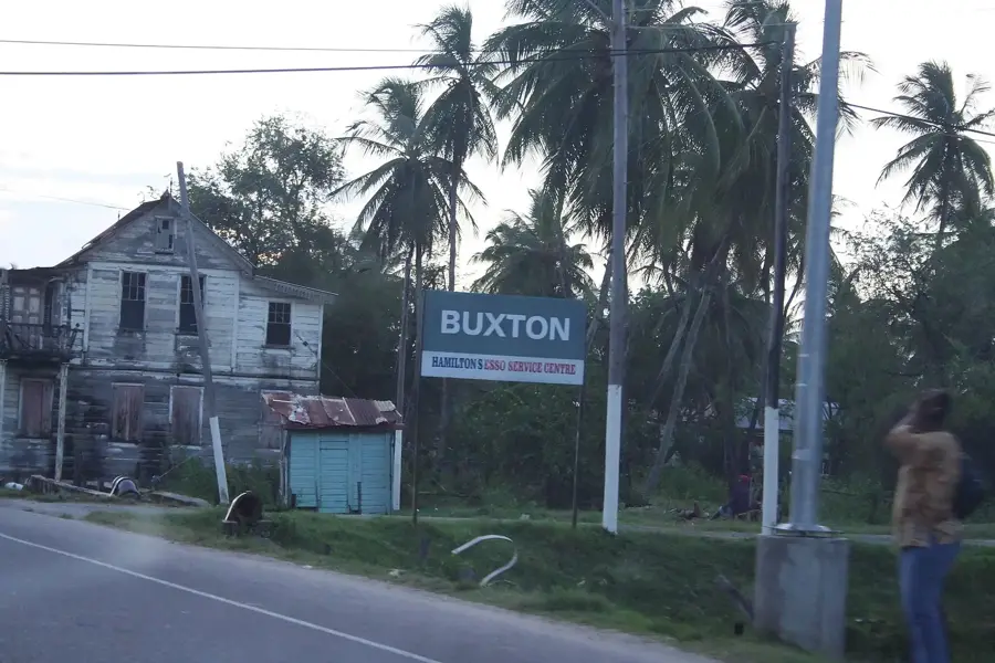
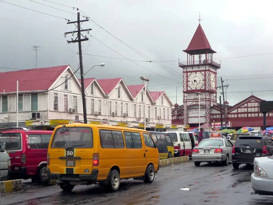
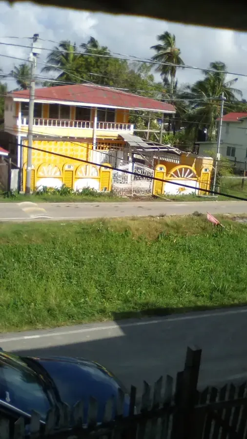
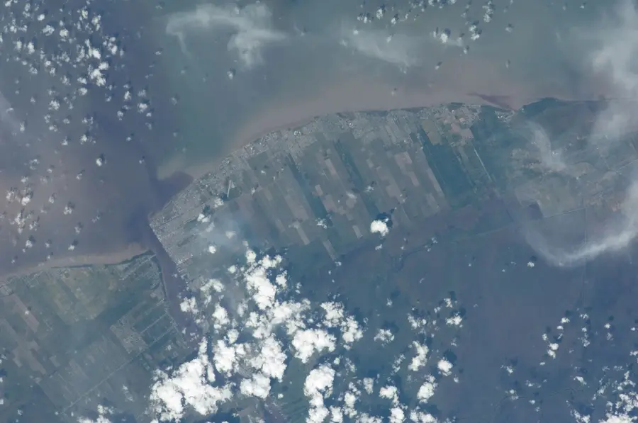
Mahaicony Village, located in the Mahaica-Berbice region, is a cornerstone of Guyana's agricultural economy and the administrative seat of the Mahaicony district. The settlement lies on the banks of the winding Mahaicony River, whose fertile valleys are among the most productive rice-growing areas in South America. The terrain is extremely flat, with sections lying below sea level, necessitating complex water management through a network of sluices (kokers) and canals. Mahaicony's economy is almost entirely focused on the export of rice and coconut products. The village retains a deep-rooted rural character, defined by sprawling estates and traditional wooden houses. Historically, Mahaicony was a vital link for inland communication, as the river provided a transport route for timber and agricultural goods from the deep interior. Today, the village serves as a major service hub, with its schools, hospitals, and commercial centers supporting the widely scattered farming communities of the vicinity. Mahaicony stands as a symbol of Guyana's enduring farming traditions and is a critical factor in the food security of the entire coastal belt.
- Location: Guyana
- Nearby: Mahaica Village (14 km)
- Population: ~2.130 (2023)
Best time to visit & climate
The most pleasant time to visit is Mar, Sep, Oct.
| Jan | Feb | Mar | Apr | May | Jun | Jul | Aug | Sep | Oct | Nov | Dec | |
|---|---|---|---|---|---|---|---|---|---|---|---|---|
| Avg °C | 26 | 26 | 27 | 27 | 26 | 26 | 26 | 27 | 27 | 28 | 27 | 26 |
| Rain mm | 165 | 117 | 98 | 142 | 295 | 265 | 261 | 173 | 88 | 87 | 145 | 217 |
Geography
Facts
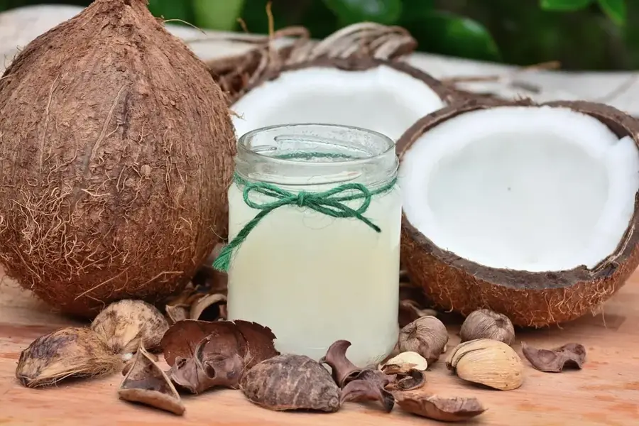
- Mahaicony is a major center for Guyana's coconut fiber and oil industry.
- The Mahaicony River is a popular route for eco-expeditions into the backlands.
- The village features a significant district hospital supporting eastern Region 5.
- It is a key location for observing traditional Guyanese rice-harvesting rituals.
- The surrounding area is part of the extensive coastal drainage system designed by the Dutch.
- Mahaicony acts as a vital stop for cross-country bus services along the coast.
Explore nearby
Notable places around
Route planner — Car & Motorhome
Where do you start? We build the route here, with stops and country notes along the way.
© OpenStreetMap contributors · OpenRouteService
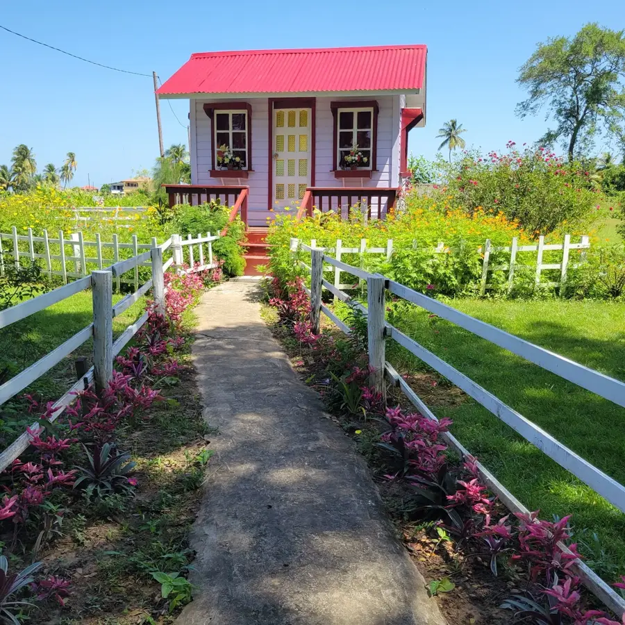
Sights in the town Mahaicony Village (1)
Frequently asked questions
What distinguishes Mahaicony from Mahaica?
Are there places to stay?
Can you fish in the Mahaicony River?
What is the condition of the roads?
When is the best time to visit?
Mahaicony Village: where is it located?
Mahaicony Village: when is the best time to visit?
Mahaicony Village: why is it worth visiting?

Nearby cities

History & landmarks
Nature
More places