Plizio Visual Lab
Cane Grove Rice Fields

Weather…
Water temperature…
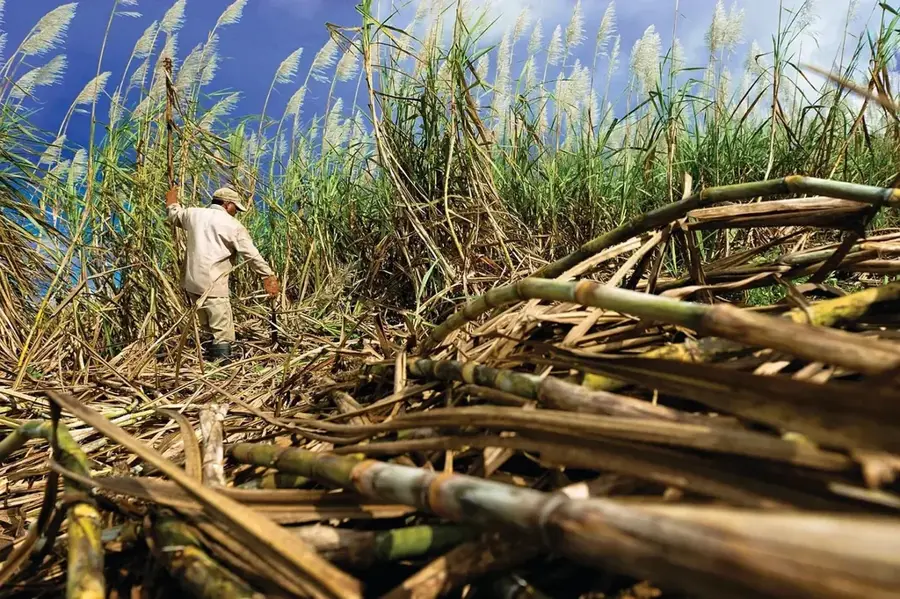
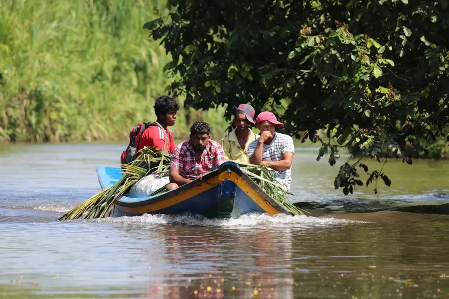
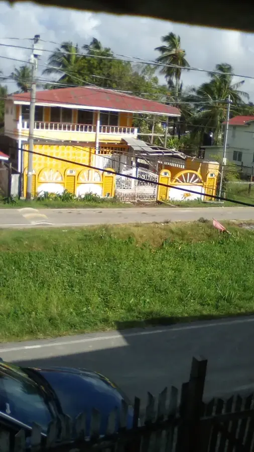
Cane Grove, located on the East Coast of Demerara, is a prominent rice-growing area that was originally a sugar estate. The transition from sugar to rice occurred in the mid-20th century as part of land reform and settlement schemes intended to diversify the economic base for the rural population. Today, the region is known for its high-efficiency rice farms that benefit from an extensive canal network used for both irrigation and the transport of harvested paddy. The flat coastal plains of Cane Grove provide handy conditions for mechanized cultivation, and the region hosts several modern rice mills that process the grain for the domestic market and export. The community is deeply involved in the agricultural cooperative movement, which has contributed to the stability of the local economy. In addition to rice, some small-scale vegetable and fruit farming exists, but rice cultivation remains the dominant livelihood. Cane Grove stands as an example of successful structural change from colonial sugar economics to modern self-sufficiency.
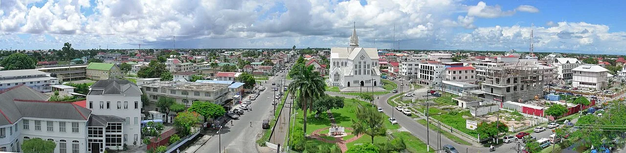
- Location: Guyana
- Top sights: Grader 1 · Check1 · Towards main road
- Nearby: Mahaica Village (5 km)
Best time to visit & climate
The most pleasant time to visit is Mar, Sep, Oct.
| Jan | Feb | Mar | Apr | May | Jun | Jul | Aug | Sep | Oct | Nov | Dec | |
|---|---|---|---|---|---|---|---|---|---|---|---|---|
| Avg °C | 26 | 26 | 27 | 27 | 26 | 26 | 26 | 27 | 27 | 28 | 27 | 26 |
| Rain mm | 165 | 117 | 98 | 142 | 295 | 265 | 261 | 173 | 88 | 87 | 145 | 217 |
📋 Practical info
Geography
Facts
- Formerly a sugar plantation estate
- Transitioned to rice in the 20th century
- Located on the East Coast Demerara (Region 4)
- Utilizes an extensive irrigation canal system
- Home to several modern rice processing mills
- Center for agricultural cooperative movements
Explore nearby
Notable places around
Route planner — Car & Motorhome
Where do you start? We build the route here, with stops and country notes along the way.
© OpenStreetMap contributors · OpenRouteService
Sights in the town Cane Grove Rice Fields (4)
Sights nearby
Frequently asked questions
Where is Cane Grove?
What is the place known for?
Are there birdwatching opportunities?
What is the terrain like?
Can you hike there?
Cane Grove Rice Fields: where is it located?
Cane Grove Rice Fields: what is there to see?
Cane Grove Rice Fields: when is the best time to visit?
Cane Grove Rice Fields: why is it worth visiting?

Nearby cities


History & landmarks
More places