Plizio Visual Lab
Tano River
Weather…
Water temperature…
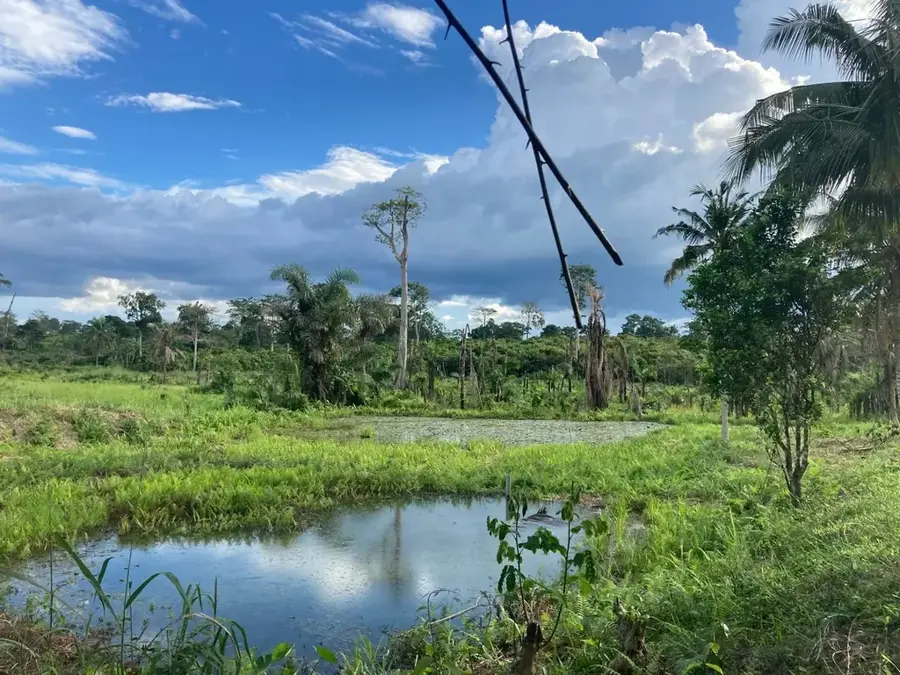
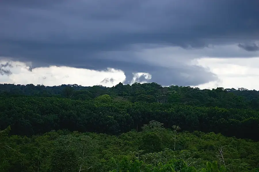
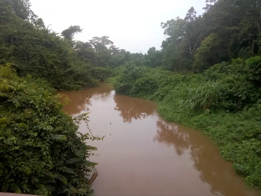
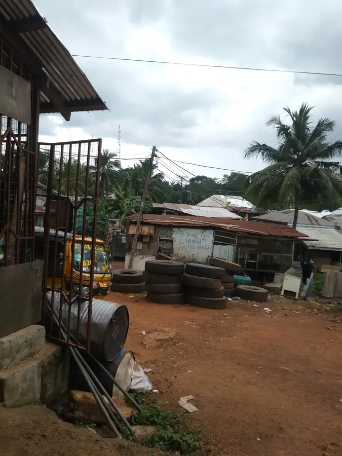
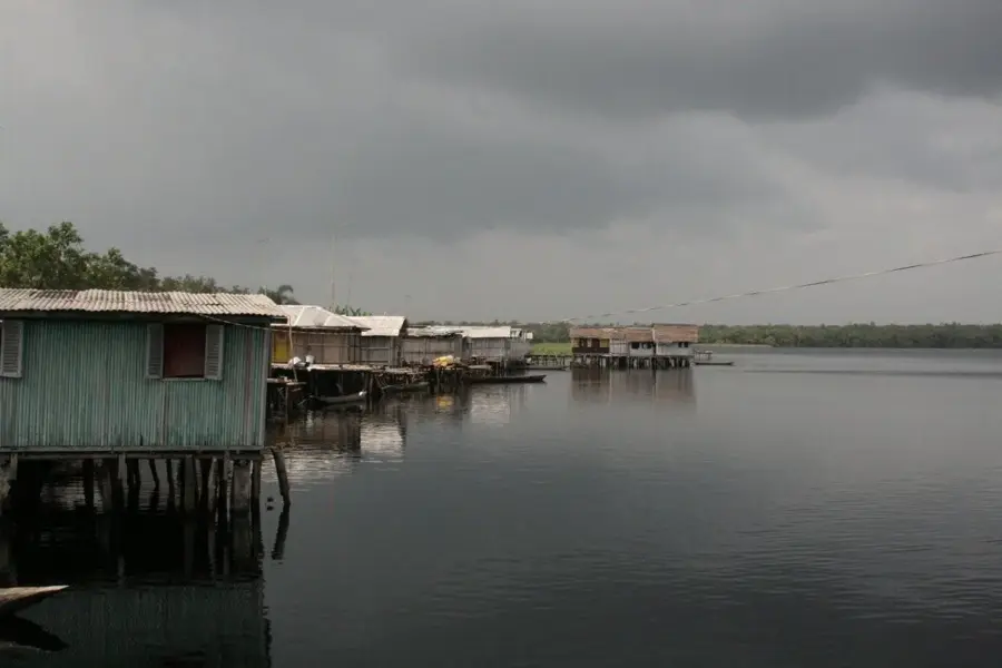
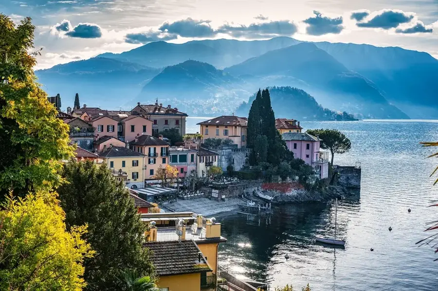
The Tano River flows for approximately 400 kilometers through West Africa, forming the natural border between Ghana and Ivory Coast in its lower reaches. It originates near the town of Techiman and flows southwards until it eventually discharges into the Aby Lagoon, which connects to the Atlantic Ocean. In the spiritual tradition of the Akan people, particularly the Ashanti, the river is regarded as sacred and is closely associated with the deity Tano, one of the primary sons of the creator god Nyame. Geographically, the river's basin is defined by dense tropical rainforests and fertile agricultural lands that are critical for cocoa production. Numerous small communities along its course rely directly on the river for their domestic water supply and local fishing activities. Despite its ecological significance, the water body currently faces environmental threats from illegal gold mining, known locally as galamsey, which compromises water quality and biodiversity. Nevertheless, the Tano remains a vital component of regional infrastructure and a lasting symbol of cultural identity in western Ghana.
- Location: Ghana
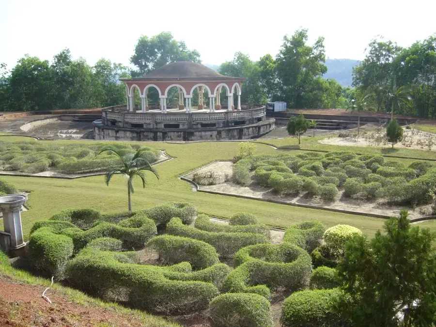
- Nearby: Nzulezo (70 km)
Best time to visit & climate
The most pleasant time to visit is Jan, Aug, Dec.
| Jan | Feb | Mar | Apr | May | Jun | Jul | Aug | Sep | Oct | Nov | Dec | |
|---|---|---|---|---|---|---|---|---|---|---|---|---|
| Avg °C | 27 | 28 | 27 | 27 | 26 | 25 | 24 | 24 | 25 | 26 | 27 | 27 |
| Rain mm | 27 | 66 | 139 | 166 | 211 | 278 | 114 | 53 | 116 | 207 | 112 | 48 |
📋 Practical info
Geography
Facts
- The river has a total length of approximately 400 kilometers.
- It empties into the Aby Lagoon on the border with Ivory Coast.
- In Akan mythology, Tano is considered the second highest god after Nyame.
- The drainage basin covers an area of about 15,000 square kilometers.
- The river is navigable for approximately 95 kilometers in its lower course.
- The Tano region is one of the primary cocoa-producing areas in Ghana.
Explore nearby
Notable places around
Route planner — Car & Motorhome
Where do you start? We build the route here, with stops and country notes along the way.
© OpenStreetMap contributors · OpenRouteService
Sights nearby
Frequently asked questions
Why is the Tano River considered sacred?
Can you eat the fish there?
Where does the Tano end?
Is birdwatching possible there?
How long is the river?
Tano River: where is it located?
Tano River: when is the best time to visit?
Tano River: why is it worth visiting?

Nearby cities


Nature
More places