Plizio Visual Lab
Tano Basin

Weather…
Water temperature…
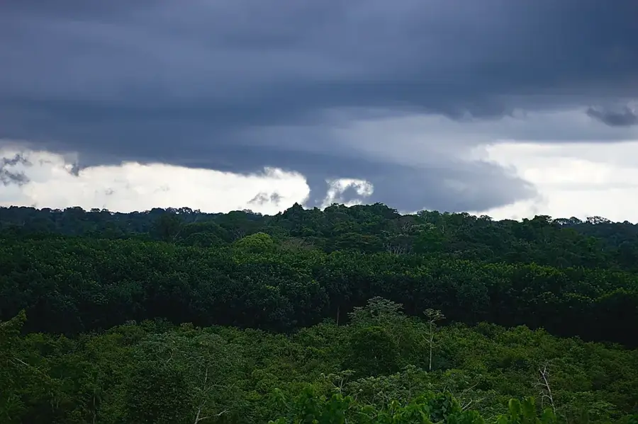
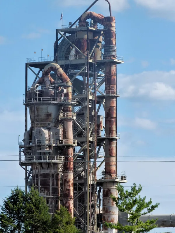
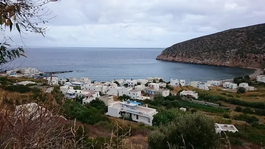
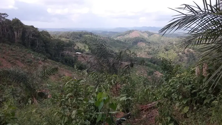
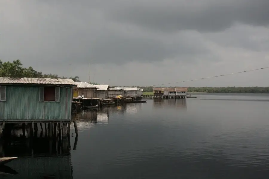
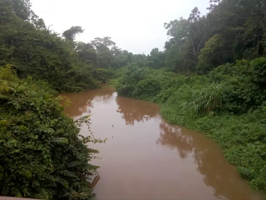
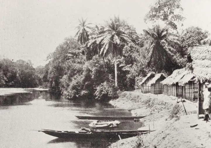
The Tano Basin spans southwestern Ghana and parts of Ivory Coast, forming a critical hydrographic system centered on the Tano River. Flowing for approximately 400 kilometers, the river drains into the Aby Lagoon before reaching the Atlantic Ocean. The basin is characterized by dense tropical rainforests and fertile alluvial soils that have historically supported dense human settlements and agriculture. In the pre-colonial era, the region was a focal point for gold mining and the expansion of Akan forest kingdoms. Currently, the basin is a cornerstone of the regional economy, hosting vast plantations of cocoa, rubber, and oil palm, alongside significant bauxite deposits. Geologically, it sits atop the ancient Birimian System rocks, which are renowned for their rich mineral wealth, including gold and diamonds. With annual rainfall often exceeding 1,500 millimeters, the basin remains one of the most ecologically diverse and economically productive regions in West Africa.
- Location: Ghana
- Nearby: Prestea (40 km)
Best time to visit & climate
The most pleasant time to visit is Jan, Aug, Dec.
| Jan | Feb | Mar | Apr | May | Jun | Jul | Aug | Sep | Oct | Nov | Dec | |
|---|---|---|---|---|---|---|---|---|---|---|---|---|
| Avg °C | 27 | 28 | 27 | 27 | 26 | 25 | 24 | 24 | 25 | 25 | 26 | 27 |
| Rain mm | 30 | 65 | 135 | 160 | 205 | 269 | 124 | 64 | 133 | 226 | 114 | 41 |
📋 Practical info
Geography
Facts
- Total length of the Tano River is roughly 400 km
- Annual rainfall often exceeds 1,500 mm
- Drains into the Aby Lagoon on the coast
- Major region for bauxite and gold extraction
- Geologically composed of Birimian system rocks
- Central hub for Ghana's cocoa production
Explore nearby
Notable places around
Route planner — Car & Motorhome
Where do you start? We build the route here, with stops and country notes along the way.
© OpenStreetMap contributors · OpenRouteService
Sights in the town Tano Basin (1)
Sights nearby
Frequently asked questions
What is the Tano Basin?
What raw materials are extracted there?
What is farmed in the Tano Basin?
Are there tourist destinations along the Tano River?
What is the landscape like?
Tano Basin: where is it located?
Tano Basin: when is the best time to visit?
Tano Basin: why is it worth visiting?

Nearby cities
History & landmarks
Nature
More places