Plizio Visual Lab
Pegnitz
ℹ️Practical info — Pegnitz
▾
🌤 Weather — 5 days
📍 Nearby
Sights nearby
💡 Tips
- The Pegnitz river source is right in the town center, a short walk from the market square.
- Free parking can be found just outside the old town, but it fills up early on market days.
- The town serves as an excellent starting point for extended hikes into Franconian Switzerland.
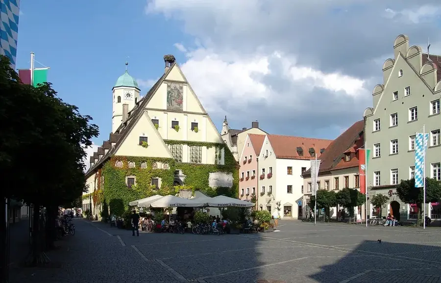
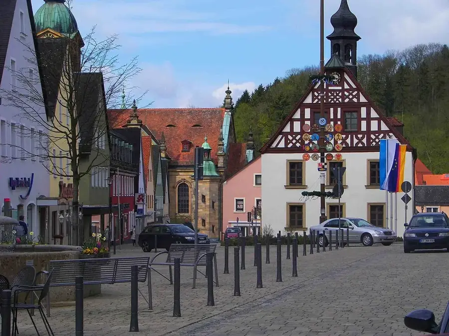
- Try to visit the old town hall on the main street for a glimpse of local history.
🍽 Food
Look for traditional inns with a beer garden in the town center for roasted pork shoulder.
Pair your meal with a regional dark beer, widely available in the old town pubs.
Grab a quick local sausage in a bun at one of the town's butcher shops.
🛍 Shopping · 🧘 Quiet spots
Pick up locally made sausages or canned Franconian meats for a picnic.
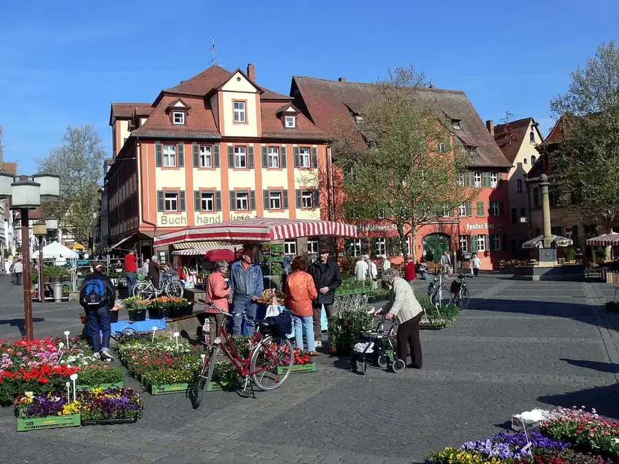
Visit the market square in the morning for fresh regional produce and local honey.
Stroll along the water starting from the town center towards the surrounding meadows.
Hike up the hill for a tranquil view over the town rooftops.
Water temperature…
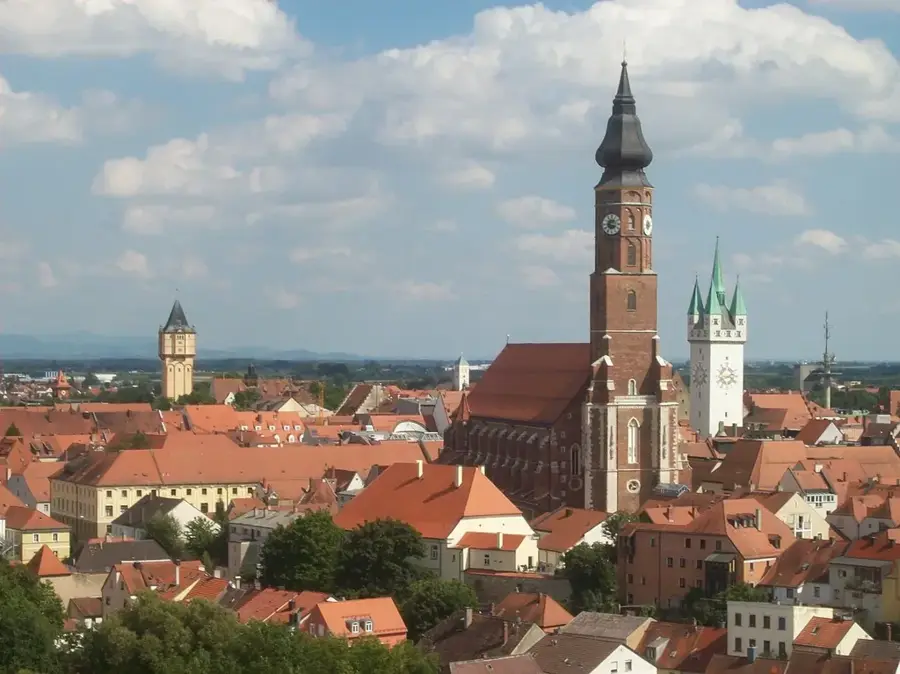
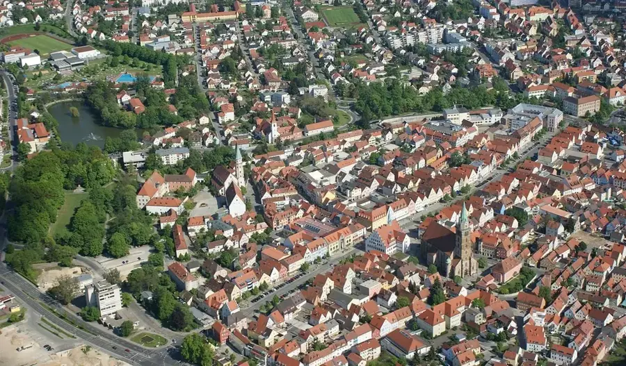
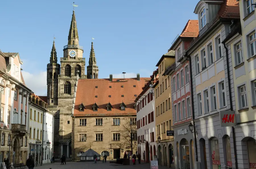
Pegnitz is located in the Upper Franconian district of Bayreuth and serves as the eastern entrance to the Franconian Switzerland region. The town is named after the Pegnitz River, whose karst spring is situated directly within the urban area. Historically, Pegnitz was shaped for centuries by mining, particularly the extraction of iron ore, which significantly influenced its economic growth. Today, the town is a vital regional center and a popular starting point for hikers and climbers exploring the surrounding rocky landscapes. Architectural sights include the 16th-century historic town hall and the remains of the castle on the Schlossberg, offering panoramic views of the countryside. Geologically, the region is characterized by White Jurassic limestone, resulting in numerous caves and unique rock formations. Pegnitz also maintains a strong brewing tradition, reflected in its local inns and beer gardens, which are quintessential to the Franconian way of life.
- Location: Bavaria, Germany
- Top sights: Pegnitz Source · Old Town Hall · Böheimstein
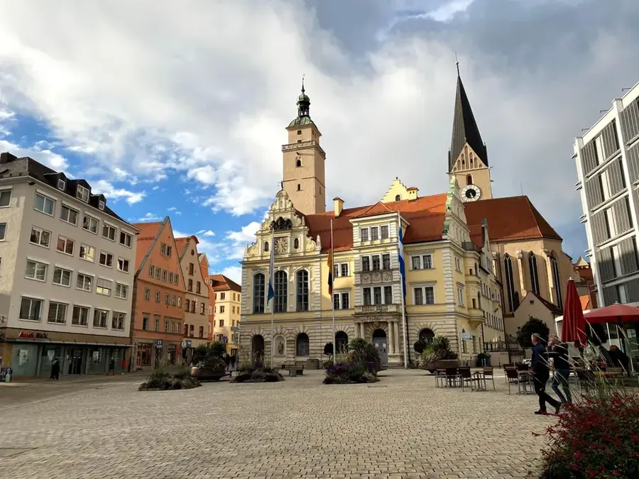
- Nearby: Auerbach in the Upper Palatinate (10 km)
- Population: ~13.741
Best time to visit & climate
The most pleasant time to visit is Jun–Aug.
| Jan | Feb | Mar | Apr | May | Jun | Jul | Aug | Sep | Oct | Nov | Dec | |
|---|---|---|---|---|---|---|---|---|---|---|---|---|
| Avg °C | -2 | -1 | 3 | 8 | 13 | 17 | 19 | 19 | 14 | 9 | 3 | 0 |
| Rain mm | 65 | 50 | 53 | 40 | 74 | 67 | 80 | 70 | 58 | 57 | 64 | 69 |
Geography
Facts
- Elevation: 422 m above sea level
- Area: 100.03 km²
- River length (Pegnitz): 115 km
- End of mining: 1967
- Town rights since: 1355
- Postal code: 91257
Explore nearby
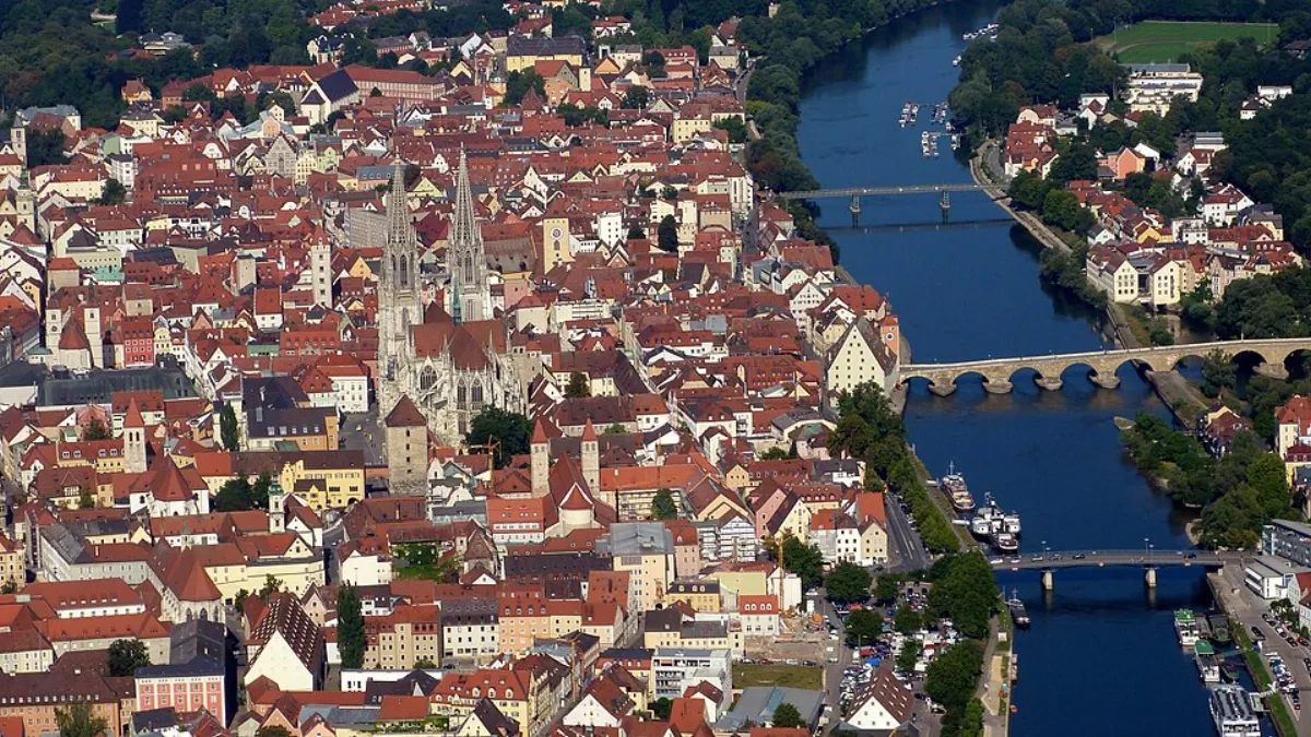
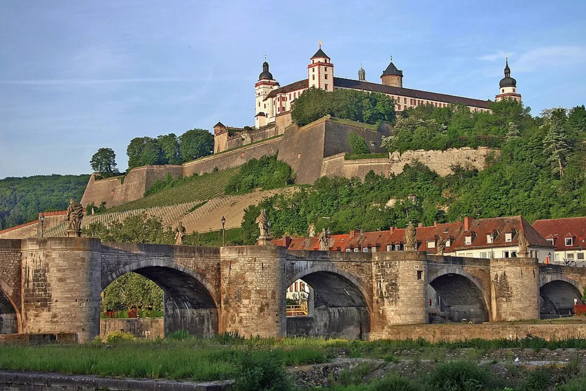
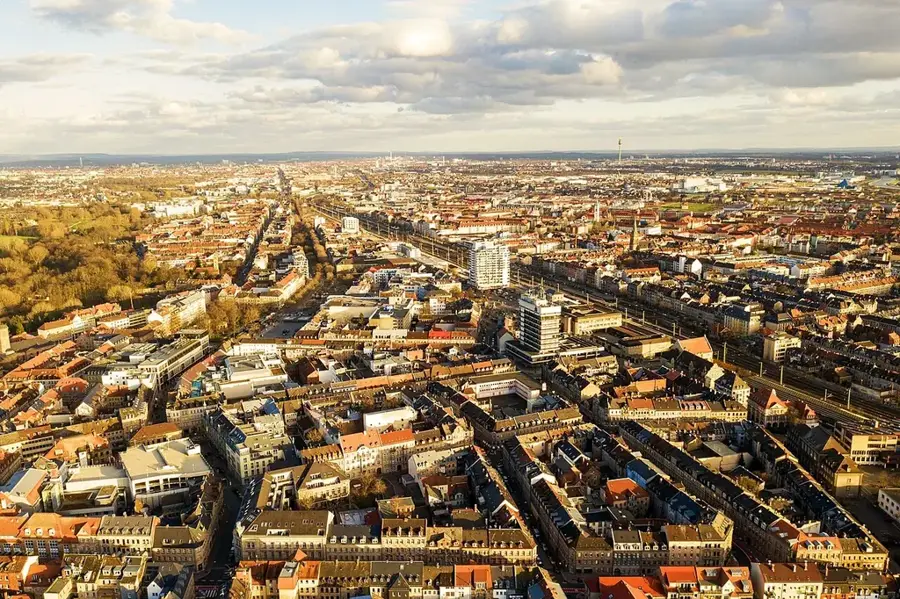
Notable places around
Route planner — Car & Motorhome
Where do you start? We build the route here, with stops and country notes along the way.
© OpenStreetMap contributors · OpenRouteService
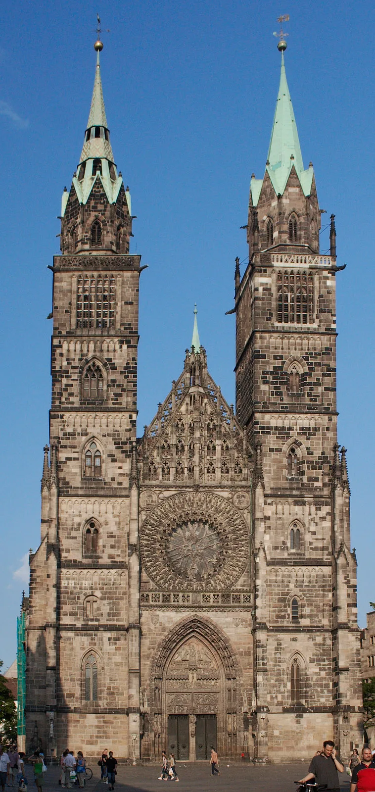
Sights in the town Pegnitz (4)
Frequently asked questions
Where does the Pegnitz river originate?
What can you do in the Veldenstein Forest?
How far is Pegnitz from Bayreuth?
Is there a swimming pool in Pegnitz?
Which historic buildings should I see?
Pegnitz: where is it located?
Pegnitz: what is there to see?
Pegnitz: when is the best time to visit?
Pegnitz: why is it worth visiting?

Nearby cities