Plizio Visual Lab
Franconian Jura
Weather…
Water temperature…
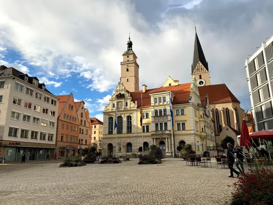
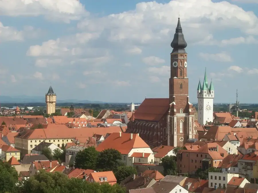
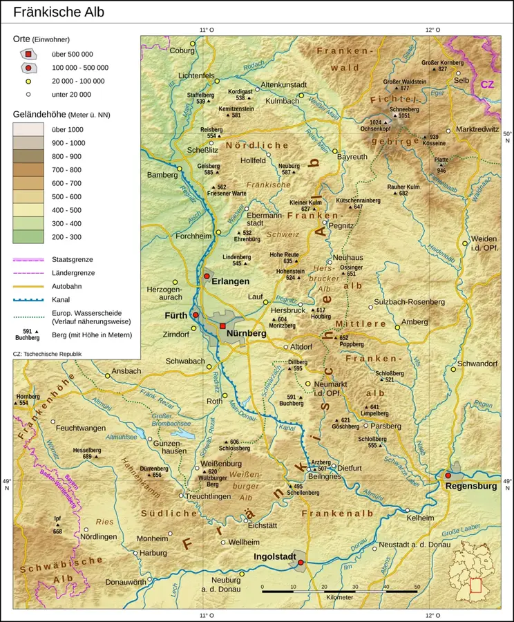
The Franconian Jura is a significant low mountain range in Bavaria, extending in an arc between the Main River to the north and the Danube River to the south. Geologically, it consists of Jurassic limestones deposited in a warm sea approximately 140 to 200 million years ago. The landscape is a classic karst region, characterized by caves, deeply incised valleys, and prominent rock formations. Particularly famous is Franconian Switzerland in the northern part of the Jura, regarded as one of Germany's oldest holiday regions. The range reaches an elevation of 656 meters at Dürrenberg, while its western edge rises as a prominent escarpment above the foreland. The region is a paradise for climbers and hikers and houses important cultural sites such as the Befreiungshalle in Kelheim. Beyond its natural beauty, the Jura serves as a vital water reservoir, as infiltrating rainwater re-emerges at the surface in deep karst springs.
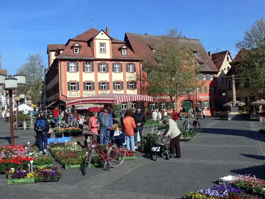
- Location: Bavaria, Germany
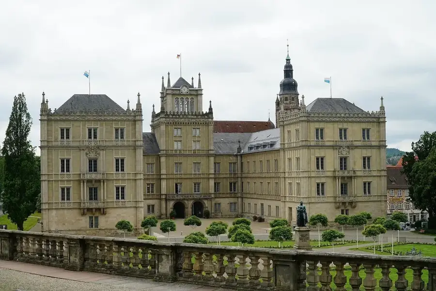
- Top sights: Marienkapelle · Burgruine Wolfstein · Marienkapelle Wolfstein
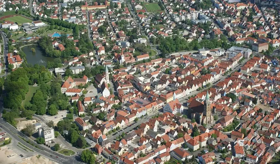
- Nearby: Altdorf bei Nürnberg (14 km)
Best time to visit & climate
The most pleasant time to visit is Jun–Aug.
| Jan | Feb | Mar | Apr | May | Jun | Jul | Aug | Sep | Oct | Nov | Dec | |
|---|---|---|---|---|---|---|---|---|---|---|---|---|
| Avg °C | -1 | 0 | 4 | 9 | 13 | 17 | 20 | 19 | 14 | 9 | 4 | 0 |
| Rain mm | 58 | 44 | 48 | 39 | 76 | 69 | 77 | 72 | 55 | 52 | 57 | 60 |
📋 Practical info
Geography
Facts
- There are over 1,000 registered caves in the Franconian Jura.
- The region formed from the sediments of the Jurassic Sea about 150 million years ago.
- Dürrenberg is the highest elevation of the range at 656 meters.
- Franconian Switzerland has the highest density of breweries in the world.
- The Main-Danube Canal crosses the range in the Altmühl Valley area.
- The Solnhofen quarries are world-famous for finds of the prehistoric bird Archaeopteryx.
Explore nearby
Notable places around
Route planner — Car & Motorhome
Where do you start? We build the route here, with stops and country notes along the way.
© OpenStreetMap contributors · OpenRouteService
Sights in the town Franconian Jura (10)
Krähentisch
Viewpoint in the Franconian Jura, named after a rock formation.
Neumarkt-Blick
Viewpoint offering a view of the town of Neumarkt in der Oberpfalz.
St. Maria
Building in Pilsach, Upper Palatinate, Germany, a wayside chapel.
ehemaliger Steinbruch bei Höhenberg
Abandoned quarry in the Franconian Jura, now a biotope.
St. Peter und Paul
Church building in Pilsach, Upper Palatinate, Germany.
Schloß Pilsach🏰 castle
Manor house in Germany, a castle in Pilsach.
Ottenberg
Mountain in the Franconian Jura, without special development.
Sights nearby
Frequently asked questions
What is the Fränkische Alb?
Is the region good for climbing?
Are there show caves there?
Can one cycle on the Alb?
Are there castles nearby?
Franconian Jura: where is it located?
Franconian Jura: what is there to see?
Franconian Jura: when is the best time to visit?
Franconian Jura: why is it worth visiting?

Nearby cities