Plizio Visual Lab
Gveleti Waterfall
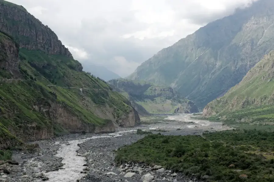
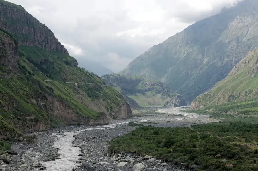
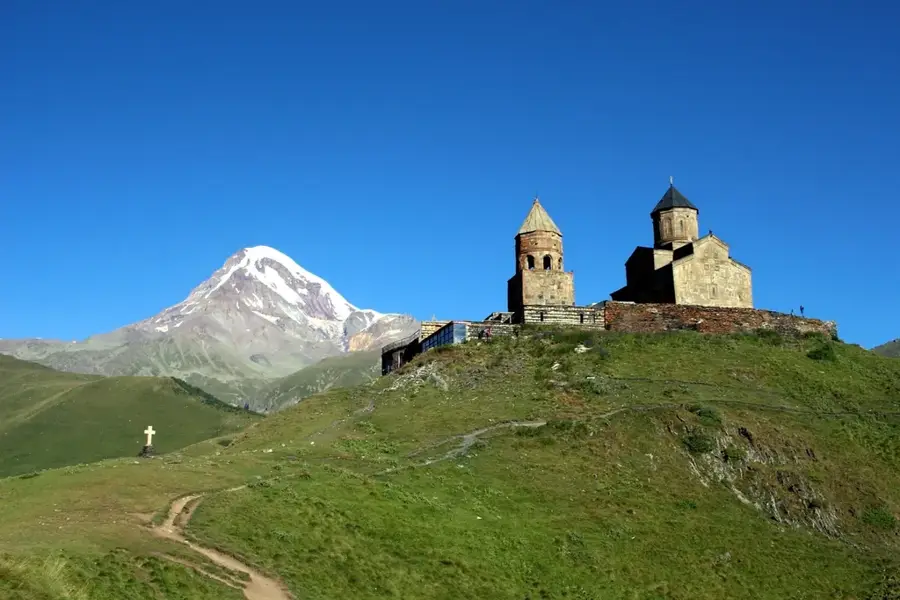
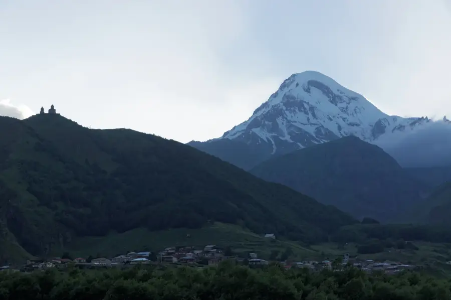
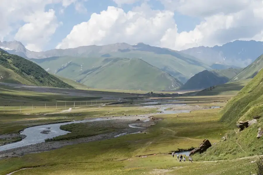
Gveleti Waterfall, located in the Mtskheta-Mtianeti region, is set within the dramatic high-mountain landscape of the Greater Caucasus, near the town of Stepantsminda. The name 'Gveleti' translates to 'place of snakes' in Georgian, a name rooted in local folklore and the untamed nature of the surrounding gorge. The site actually features two main falls, known as Big and Small Gveleti, tucked away in a narrow rocky canyon. The Big Gveleti Waterfall plunges from a height of about 25 meters over dark basalt rocks and is accessible via a moderately easy hiking trail starting from the main road in the Dariali Gorge. The area is characterized by rugged peaks, alpine meadows, and the stark, majestic beauty typical of the Kazbegi district. Visitors often include the waterfall as part of a larger itinerary that includes the Dariali Gorge and the iconic Gergeti Trinity Church. The thundering sound of the falling water combined with the crisp mountain air provides a refreshing experience for hikers. Gveleti is a prime destination for nature photographers and outdoor enthusiasts seeking to experience the raw power of the Caucasian wilderness away from the more crowded tourist spots.
- Location: Georgia
- Top sights: view of church and mountains · Heritage Crafts Gallery-Studio “Mokheuri Teka” · Artsivistsveri
- Nearby: Juta (17 km)
Best time to visit & climate
The most pleasant time to visit is Jul–Sep.
| Jan | Feb | Mar | Apr | May | Jun | Jul | Aug | Sep | Oct | Nov | Dec | |
|---|---|---|---|---|---|---|---|---|---|---|---|---|
| Avg °C | -10 | -9 | -4 | 1 | 7 | 11 | 15 | 14 | 10 | 5 | -2 | -7 |
| Rain mm | 38 | 32 | 55 | 65 | 89 | 89 | 62 | 55 | 54 | 60 | 44 | 33 |
📋 Practical info
Geography
Facts
- The height of the Big Gveleti Waterfall is approximately 25 meters.
- The name 'Gveleti' means 'place of snakes' in the Georgian language.
- The waterfall is located near the historic Georgian Military Highway.
- The hike from the parking area to the waterfall takes about 20-30 minutes.
- The surrounding rocks consist primarily of dark volcanic basalt.
- The site is situated at the foot of Mount Kazbek (elevation 5,047 m).
Explore nearby
Notable places around
Route planner — Car & Motorhome
Where do you start? We build the route here, with stops and country notes along the way.
© OpenStreetMap contributors · OpenRouteService
Sights in the town Gveleti Waterfall (9)
Sights nearby
Frequently asked questions
How difficult is the hike to Gveleti Waterfall?
Are there multiple waterfalls in Gveleti?
Where exactly is the waterfall located?
What does the name Gveleti mean?
Is special equipment needed?
Gveleti Waterfall: where is it located?
Gveleti Waterfall: what is there to see?
Gveleti Waterfall: when is the best time to visit?
Gveleti Waterfall: why is it worth visiting?

Nearby cities
Nature
More places