Plizio Visual Lab
Machakhela National Park
Weather…
Water temperature…
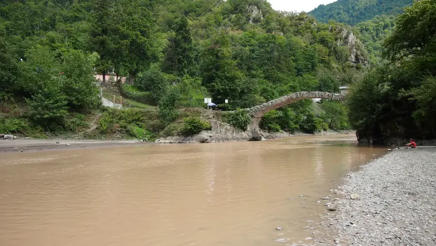
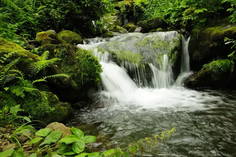
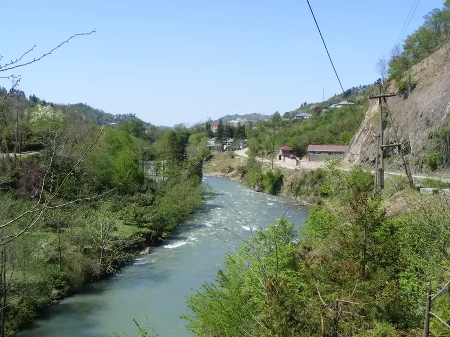
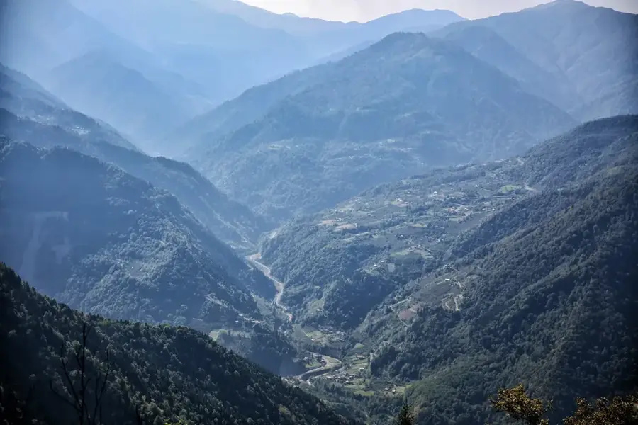
Machakhela National Park is located in the Adjara region of southwestern Georgia, extending along the scenic gorge of the Machakhlistskali River to the border with Turkey. Established in 2012, the park protects approximately 7,300 hectares of unique Colchic mixed forests and serves as a vital ecological corridor between the protected areas of Georgia and Turkey. The landscape is characterized by steep mountain slopes, rushing waterfalls, and a rich flora featuring relict species such as the Colchic boxwood. Culturally, the Machakhela valley is famous for its centuries-old history of weapon-making and its well-preserved ethnographic monuments, including medieval stone bridges and fortresses. The combination of pristine nature and bustling local traditions makes the park a significant destination for eco-tourism. Machakhela also plays a central role in preserving local honeybee populations and traditional beekeeping practices.
- Location: Georgia
- Top sights: zeda ch`xutunet`is machaxlis istoriul-et`nograp`iuli muzeumi · Machakhela Weapons Forge Museum · Machakhela National Park
- Nearby: Tsikhisdziri (26 km)
Best time to visit & climate
The most pleasant time to visit is Jun–Aug.
| Jan | Feb | Mar | Apr | May | Jun | Jul | Aug | Sep | Oct | Nov | Dec | |
|---|---|---|---|---|---|---|---|---|---|---|---|---|
| Avg °C | -1 | 1 | 4 | 8 | 14 | 18 | 20 | 21 | 18 | 13 | 7 | 2 |
| Rain mm | 115 | 88 | 96 | 68 | 61 | 70 | 68 | 72 | 121 | 140 | 139 | 127 |
📋 Practical info
Geography
Facts
- Established in 2012, it is the newest national park in Adjara.
- The national park covers an area of approximately 7,333 hectares.
- A significant migration corridor for birds between Europe and Asia.
- Home to the medieval Gvara fortress at the entrance of the valley.
- The valley is historically famous for making 'Machakhela' rifles.
- Protects important stands of sweet chestnut and Oriental beech.
Explore nearby
Notable places around
Route planner — Car & Motorhome
Where do you start? We build the route here, with stops and country notes along the way.
© OpenStreetMap contributors · OpenRouteService
Sights in the town Machakhela National Park (4)
Sights nearby
Frequently asked questions
What is the Machakhela region known for?
Are there museums in the park?
Can you see old bridges there?
What activities are offered?
How is the access to the park?
Machakhela National Park: where is it located?
Machakhela National Park: what is there to see?
Machakhela National Park: when is the best time to visit?
Machakhela National Park: why is it worth visiting?

Nearby cities
History & landmarks
Nature
More places