Plizio Visual Lab
Kintrishi Strict Nature Reserve
Weather…
Water temperature…
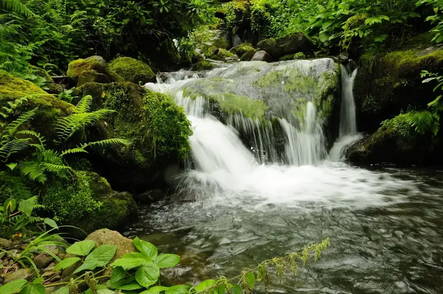
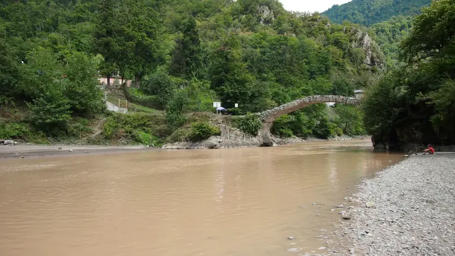
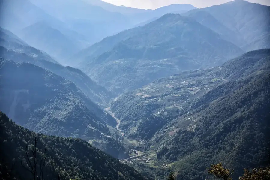
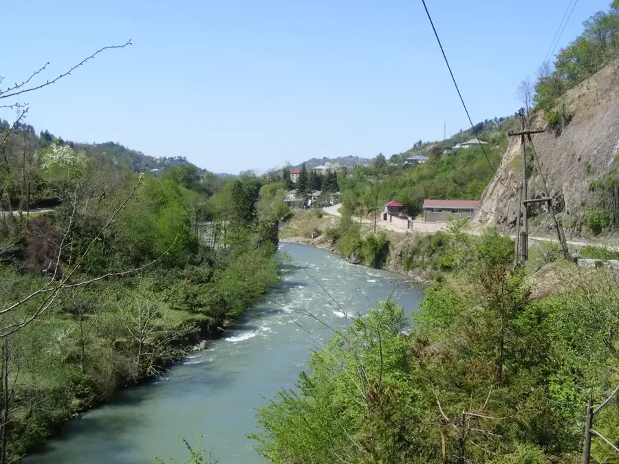
The Kintrishi Nature Reserve is located in the Adjara Autonomous Republic of southwestern Georgia and stretches along the valley of the Kintrishi River. Established in 1959, it covers an area of approximately 13,893 hectares in the western part of the Lesser Caucasus. The region is known for its extremely humid climate and well-preserved Colchic rainforests, which host a variety of tertiary relic plants. Since 2021, Kintrishi has been part of the UNESCO World Heritage as part of the 'Colchic Rainforests and Wetlands' designation. The landscape is characterized by steep slopes, deep river valleys, and alpine lakes at higher altitudes, such as Lake Tbikeli. Historically, the protected area features old stone arch bridges from the Middle Ages that are still in use today. The biodiversity is impressive, including rare animal species such as the Caucasian salamander and the brown bear. The reserve plays a crucial role in protecting the regional climate and fragile forest ecosystems.
- Location: Georgia
- Nearby: Ozurgeti (16 km)
Best time to visit & climate
The most pleasant time to visit is Jun–Aug.
| Jan | Feb | Mar | Apr | May | Jun | Jul | Aug | Sep | Oct | Nov | Dec | |
|---|---|---|---|---|---|---|---|---|---|---|---|---|
| Avg °C | -1 | 1 | 4 | 8 | 14 | 18 | 20 | 21 | 18 | 13 | 7 | 2 |
| Rain mm | 115 | 88 | 96 | 68 | 61 | 70 | 68 | 72 | 121 | 140 | 139 | 127 |
📋 Practical info
Geography
Facts
- The reserve was originally established in the year 1959.
- The total area is approximately 13,893 hectares.
- Lake Tbikeli is situated at an altitude of 1,900 meters.
- The UNESCO recognition took place in the year 2021.
- Several medieval stone bridges are located within the protected area.
- The annual rainfall can reach up to 3,000 mm.
Explore nearby
Notable places around
Route planner — Car & Motorhome
Where do you start? We build the route here, with stops and country notes along the way.
© OpenStreetMap contributors · OpenRouteService
Sights in the town Kintrishi Strict Nature Reserve (1)
Sights nearby
Frequently asked questions
Where is the Kintrishi Protected Area located?
What historical sights are there?
Is the area suitable for hiking?
What animal species can be observed here?
What is the climate like in Kintrishi?
Kintrishi Strict Nature Reserve: where is it located?
Kintrishi Strict Nature Reserve: when is the best time to visit?
Kintrishi Strict Nature Reserve: why is it worth visiting?

Nearby cities

History & landmarks
Nature
More places