Plizio Visual Lab
Mtirala National Park

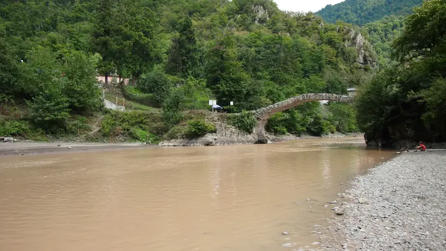
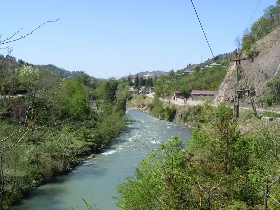
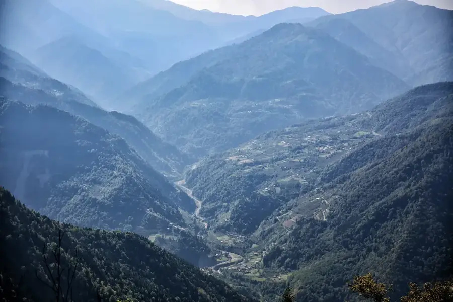
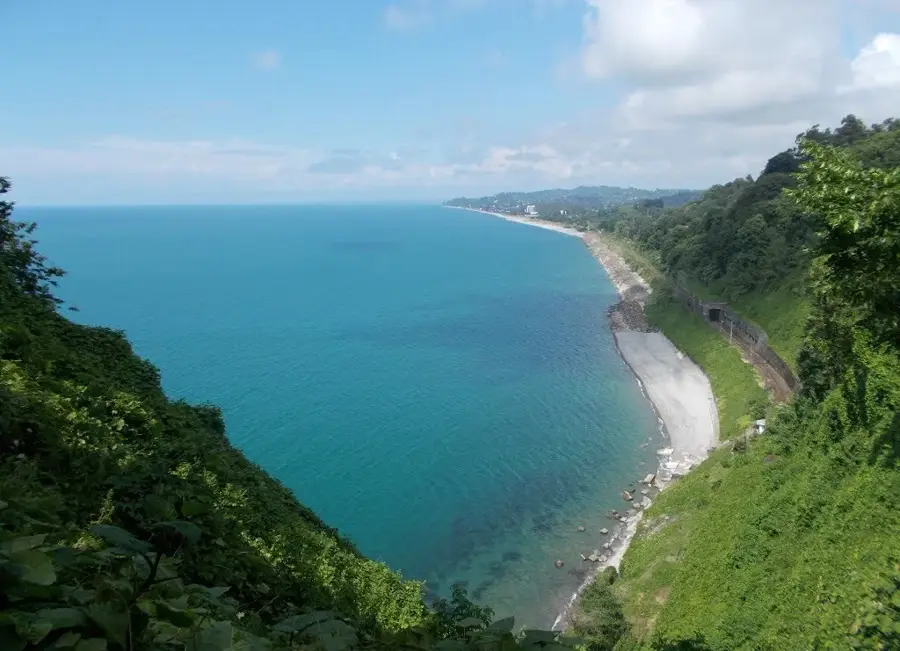
Mtirala National Park is situated in the Adjara region of southwestern Georgia, covering approximately 15,698 hectares within the Lesser Caucasus Mountains. Established in 2007, the park is famous for being the wettest area in the country, with its name 'Mtirala' translating to 'the weeping one' in Georgian due to the frequent rainfall and high humidity. This unique microclimate supports lush Colchic rainforests, which are home to numerous endemic and relict plant species such as the Pontic rhododendron and Colchic boxwood. The park's terrain features deep river gorges, spectacular waterfalls, and dense mixed forests that provide a sanctuary for wildlife including the Caucasian brown bear, lynx, and various rare bird species. It serves as a critical component of the Caucasus biodiversity hotspot, focusing on the preservation of ancient ecosystems. Located near the Black Sea coast, the park has become a premier destination for eco-tourism, offering diverse hiking trails and opportunities for scientific observation of its pristine natural environment.
- Location: Georgia
- Top sights: Zip line · Rope park · Tsablnari Waterfall
- Nearby: Tsikhisdziri (14 km)
Best time to visit & climate
The most pleasant time to visit is Jun–Aug.
| Jan | Feb | Mar | Apr | May | Jun | Jul | Aug | Sep | Oct | Nov | Dec | |
|---|---|---|---|---|---|---|---|---|---|---|---|---|
| Avg °C | -1 | 1 | 4 | 8 | 14 | 18 | 20 | 21 | 18 | 13 | 7 | 2 |
| Rain mm | 115 | 88 | 96 | 68 | 61 | 70 | 68 | 72 | 121 | 140 | 139 | 127 |
📋 Practical info
Geography
Facts
- Established in 2007 to preserve ancient Colchic rainforests.
- The park covers a total area of approximately 15,698 hectares.
- Recognized as the wettest location in Georgia and Transcaucasia.
- Home to rare flora including the Colchic boxwood and bladdernut.
- The highest point within the park reaches 1,381 meters above sea level.
- Part of the UNESCO World Heritage site 'Colchic Rainforests and Wetlands'.
Explore nearby
Notable places around
Route planner — Car & Motorhome
Where do you start? We build the route here, with stops and country notes along the way.
© OpenStreetMap contributors · OpenRouteService
Sights in the town Mtirala National Park (4)
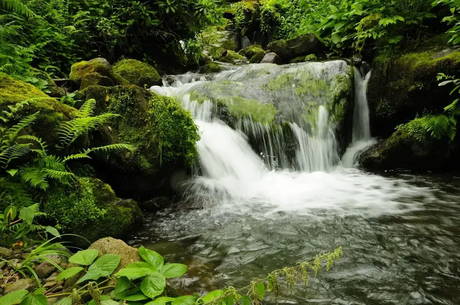
Tsablnari Waterfall
Waterfall in Mtirala National Park, surrounded by dense forest.
Sights nearby
Frequently asked questions
Why is the park named Mtirala?
What are the main activities in the park?
Are there waterfalls in the park?
How far is Mtirala from Batumi?
Can you stay overnight in the park?
Mtirala National Park: where is it located?
Mtirala National Park: what is there to see?
Mtirala National Park: when is the best time to visit?
Mtirala National Park: why is it worth visiting?

Nearby cities
History & landmarks
Nature
More places