Plizio Visual Lab
Mtirala National Park
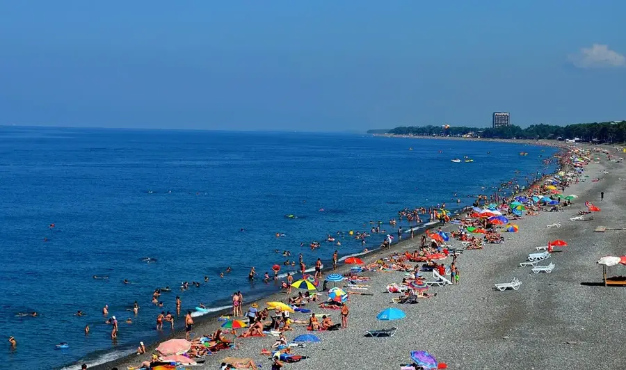
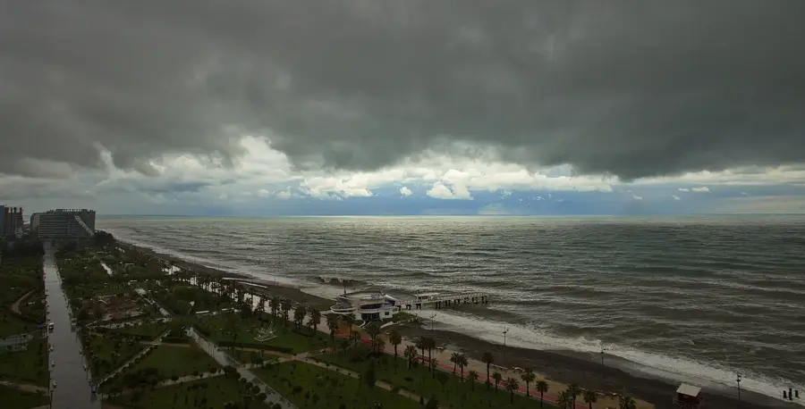
Weather…
Water temperature…
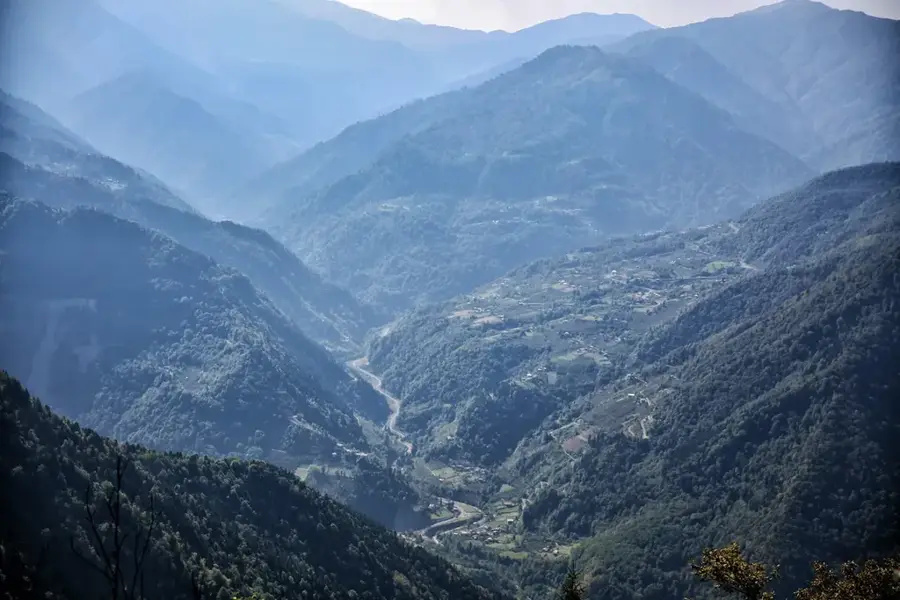
Mtirala National Park is located in the Adjara region of southwestern Georgia and is considered the wettest place in the country and the Caucasus. It covers an area of approximately 15,698 hectares in the western part of the Lesser Caucasus, not far from the Black Sea coast. The name 'Mtirala' translates to 'the crying one', referring to the extremely high annual rainfall of up to 4,500 mm. These conditions have led to the formation of a unique Colchic rainforest, rich in endemic and tertiary relic plants. In 2021, the park was inscribed on the UNESCO World Heritage list under the 'Colchic Rainforests and Wetlands' designation due to its exceptional biodiversity. The landscape is characterized by dense mixed forests, deep canyons, and numerous waterfalls, including the prominent Tsablnari waterfall. Fauna includes the brown bear, the Caucasian salamander, and a variety of rare amphibian species. The park serves as a vital ecosystem for the protection of Colchic flora and is a significant destination for ecotourism near the city of Batumi.
- Location: Georgia
- Top sights: Zip line · Rope park · Tsablnari Waterfall
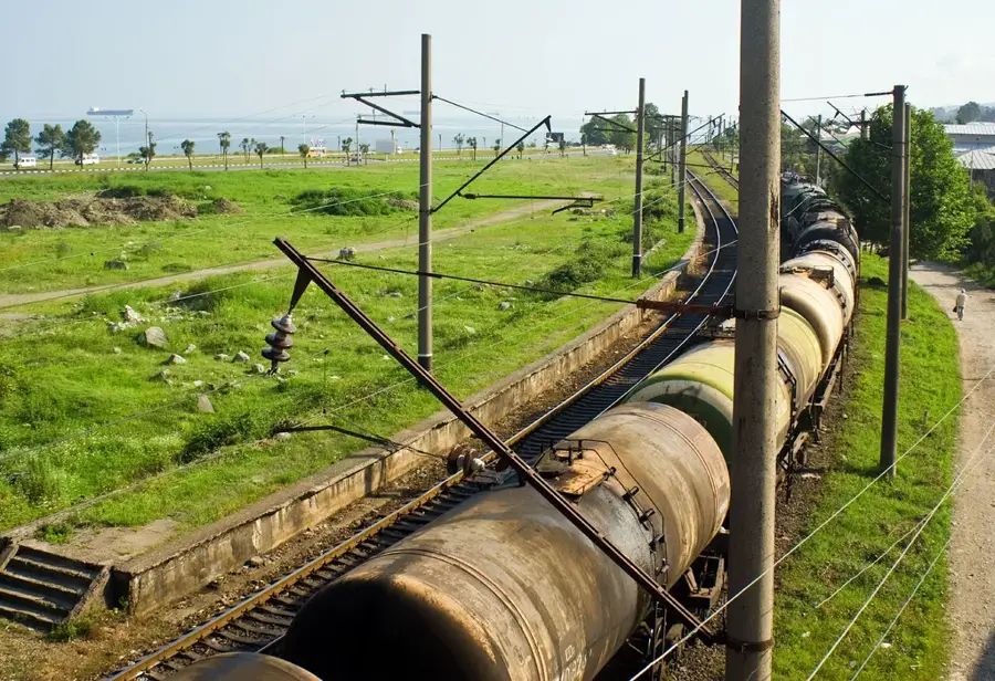
- Nearby: Tsikhisdziri (14 km)
Best time to visit & climate
The most pleasant time to visit is Jun–Aug.
| Jan | Feb | Mar | Apr | May | Jun | Jul | Aug | Sep | Oct | Nov | Dec | |
|---|---|---|---|---|---|---|---|---|---|---|---|---|
| Avg °C | -1 | 1 | 4 | 8 | 14 | 18 | 20 | 21 | 18 | 13 | 7 | 2 |
| Rain mm | 115 | 88 | 96 | 68 | 61 | 70 | 68 | 72 | 121 | 140 | 139 | 127 |
📋 Practical info
Geography
Facts
- The park was officially opened in the year 2007.
- The annual rainfall often reaches over 4,500 mm.
- The park has been part of the UNESCO World Heritage since 2021.
- The maximum altitude in the park is 1,381 meters above sea level.
- The Tsablnari waterfall has a height of approximately 15 meters.
- Over 80% of the park area is covered with untouched forest.
Explore nearby
Notable places around
Route planner — Car & Motorhome
Where do you start? We build the route here, with stops and country notes along the way.
© OpenStreetMap contributors · OpenRouteService
Sights in the town Mtirala National Park (4)
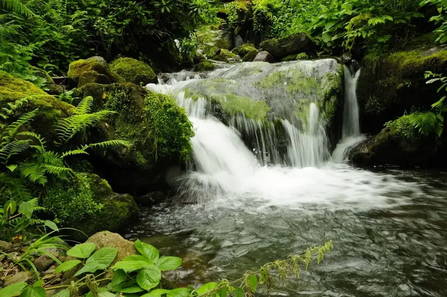
Tsablnari Waterfall
Waterfall in Mtirala National Park, surrounded by dense forest.
Sights nearby
Frequently asked questions
Why is Mtirala called the wettest place in Georgia?
What activities are offered in the park?
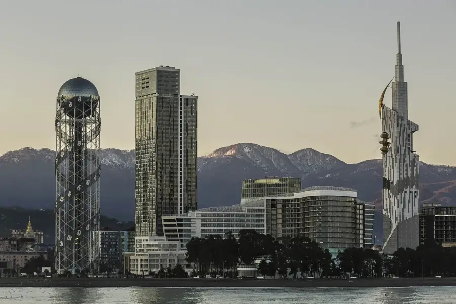
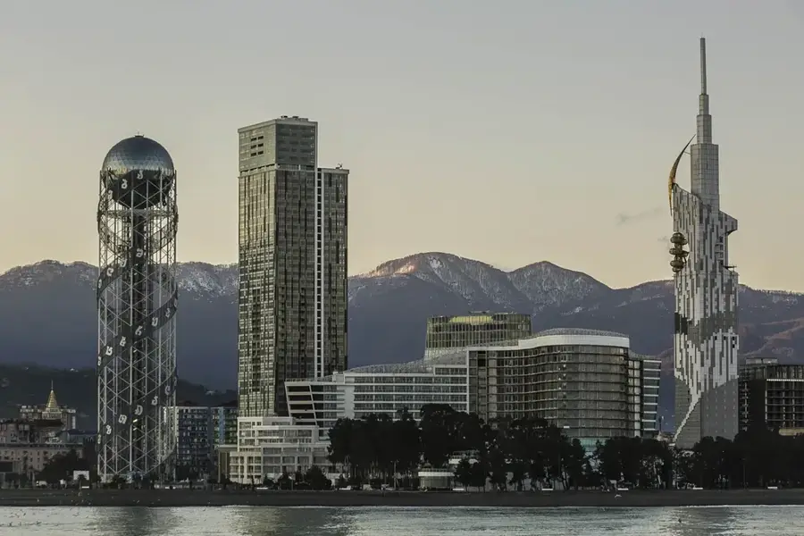
How far is the park from Batumi?
Are the hiking trails well-marked?
Do I need special clothing?
Mtirala National Park: where is it located?
Mtirala National Park: what is there to see?
Mtirala National Park: when is the best time to visit?
Mtirala National Park: why is it worth visiting?

Nearby cities
History & landmarks
Nature
More places