Plizio Visual Lab
Fajikunda

ℹ️Practical info — Fajikunda
▾
🌤 Weather — 5 days
📍 Nearby
Sights nearby
💡 Tips
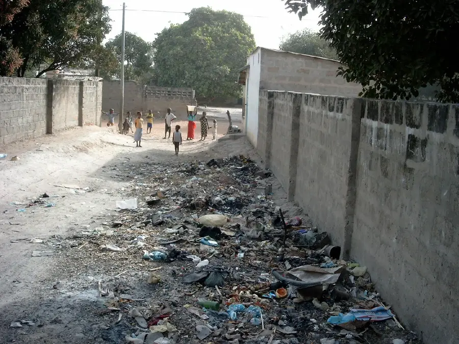
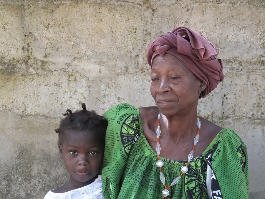
- The area is predominantly residential, offering a genuine slice of daily Gambian life.
- Use shared local taxis to travel cheaply and like the locals do.
- Be discreet and respectful when taking photos in the residential neighborhoods.
- Market areas can get very muddy during the rainy season, wear appropriate footwear.
🍽 Food
In the simple, local eating houses of the neighborhood
At the evening street vendors, freshly prepared
Fresh in the morning from small neighborhood bakeries
🛍 Shopping · 🧘 Quiet spots
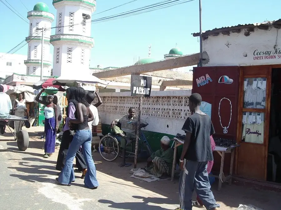
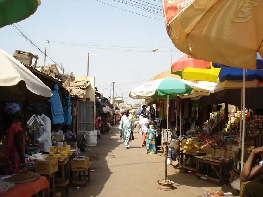
For fresh vegetables, fish, and the colorful hustle and bustle
Good spots for colorful fabrics and everyday items
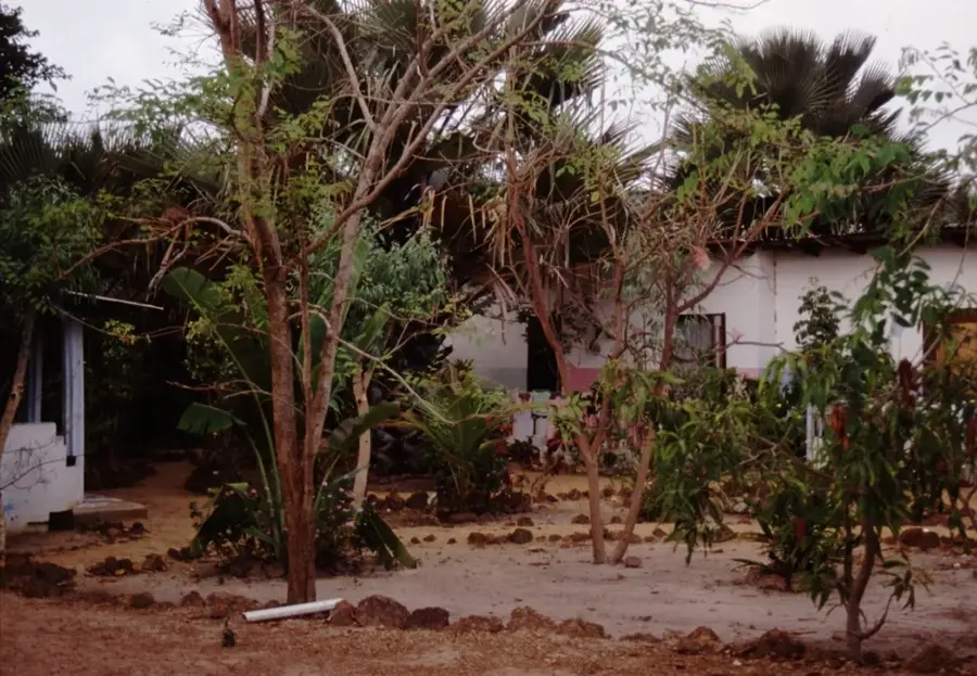
Offer shade and quiet moments in the afternoon
For quieter evening walks away from the main routes
Water temperature…
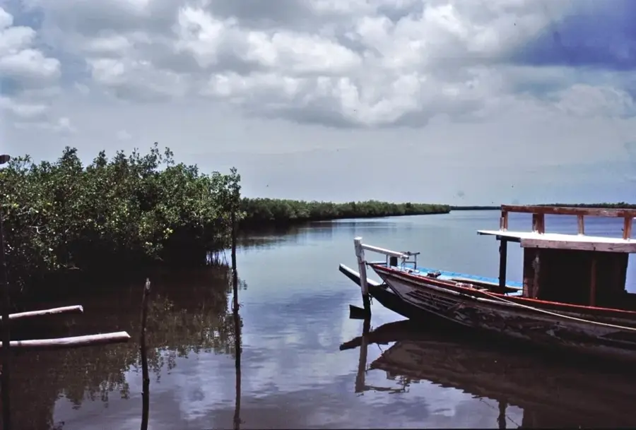
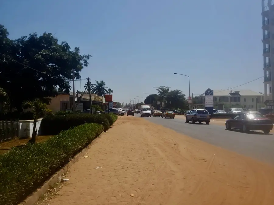
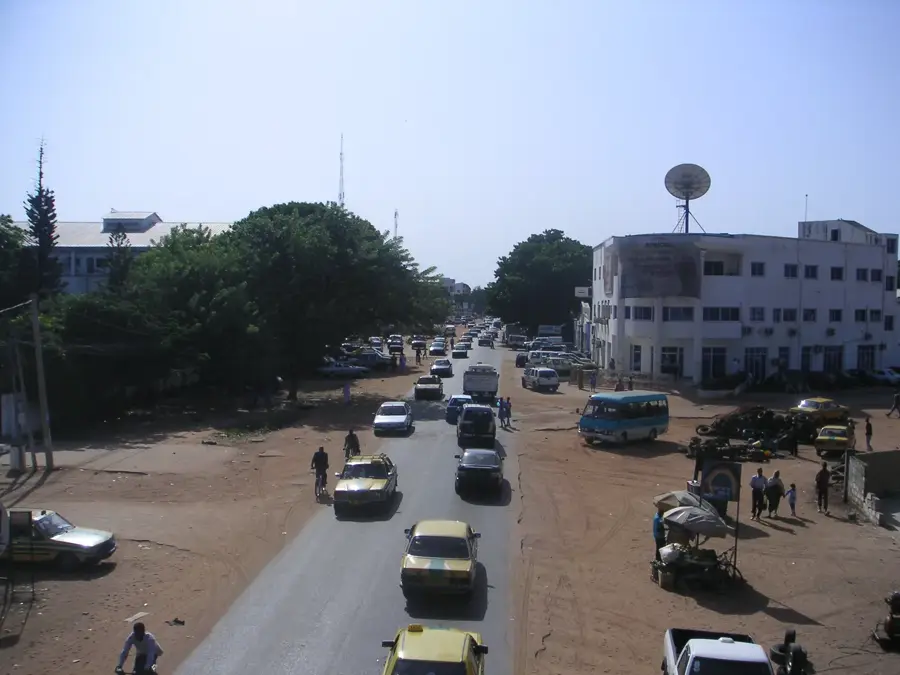
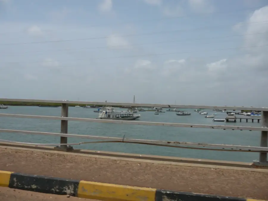
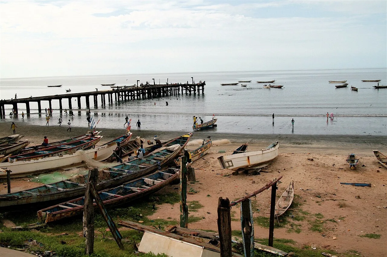
Fajikunda is a dynamic suburb within the Kanifing Municipal Council of The Gambia, located on the eastern periphery of the Serrekunda metropolitan area. Geographically, the town is defined by its situation along the Oyster Creek, a tributary of the Gambia River lined with extensive mangrove forests. Fajikunda primarily functions as a residential zone for workers commuting to the economic hubs of Kanifing and Banjul. Historically, Fajikunda remained a distinct village until the late 1970s, when rapid urban expansion absorbed it into the Greater Banjul urban fabric. The local economy is characterized by informal trade and craftsmanship, while the proximity to the creek supports small-scale fishing and traditional oyster harvesting. In recent decades, Fajikunda has seen substantial infrastructure improvements, particularly in primary education and healthcare facilities, to accommodate its steadily increasing population density.
- Location: Gambia
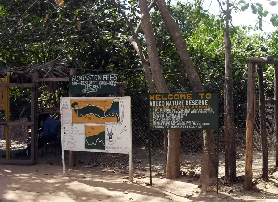
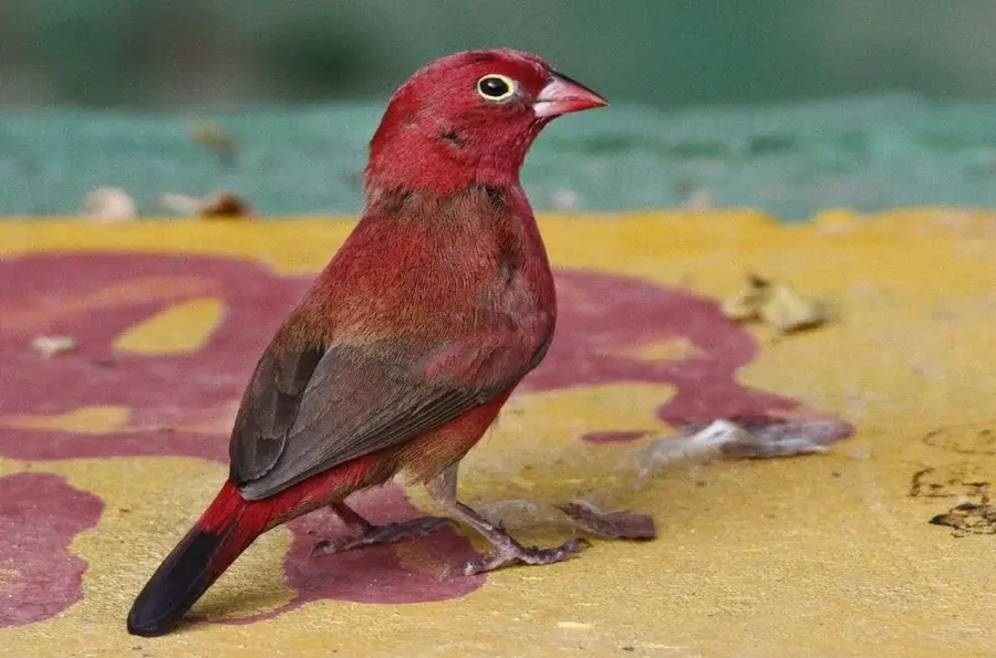
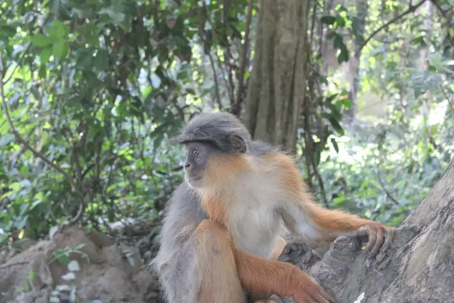
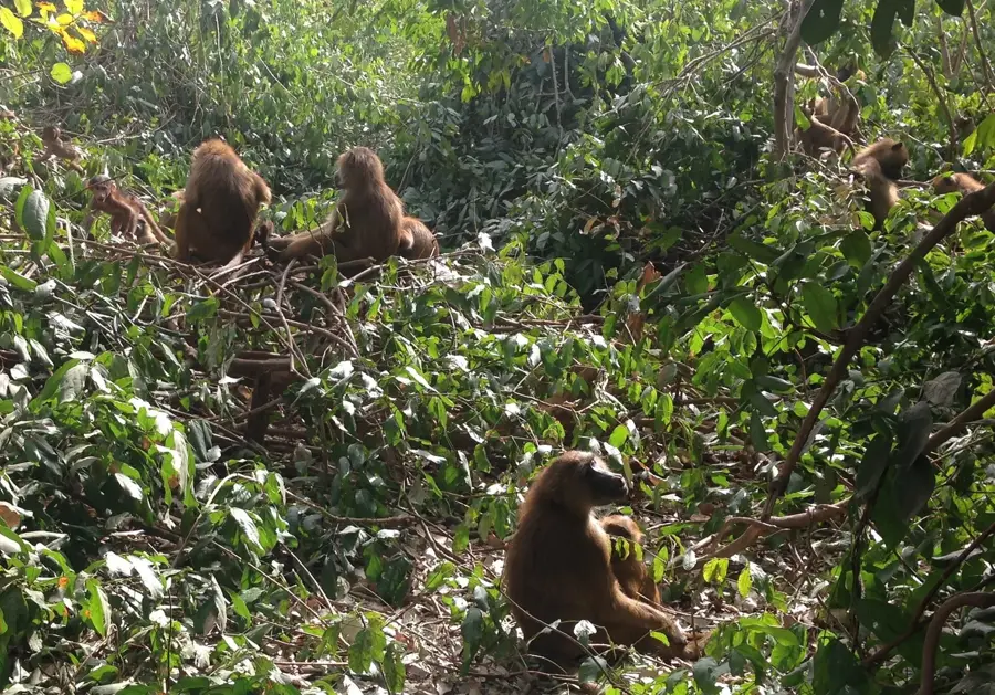
- Top sights: Elephant Tree · Abuko Nature Reserve
- Nearby: Tallinding (4 km)
- Population: ~45.757 (2023)
Best time to visit & climate
The most pleasant time to visit is Jan, Feb, Dec.
| Jan | Feb | Mar | Apr | May | Jun | Jul | Aug | Sep | Oct | Nov | Dec | |
|---|---|---|---|---|---|---|---|---|---|---|---|---|
| Avg °C | 24 | 26 | 28 | 29 | 29 | 29 | 28 | 27 | 27 | 27 | 26 | 24 |
| Rain mm | 1 | 0 | 5 | 2 | 4 | 74 | 187 | 306 | 231 | 67 | 3 | 0 |
Geography
Facts
- Fajikunda is situated directly adjacent to the Oyster Creek mangrove swamps.
- The area is famous for traditional oyster harvesters who work in the mangroves.
- Fajikunda hosts a significant community Health Center serving the eastern KMC.
- The district was fully integrated into the Serrekunda urban area after 1975.
- Its waterfront location makes it a key site for artisanal fishing activities.
- Fajikunda has one of the highest concentrations of primary schools in the region.
Explore nearby
Notable places around
Route planner — Car & Motorhome
Where do you start? We build the route here, with stops and country notes along the way.
© OpenStreetMap contributors · OpenRouteService
Sights in the town Fajikunda (2)
Frequently asked questions
What is special about Fajikunda?
Can you go birdwatching there?
Are there local markets there?
What is the connection to the coast like?
Is Fajikunda suitable for long-term stays?
Fajikunda: where is it located?
Fajikunda: what is there to see?
Fajikunda: when is the best time to visit?
Fajikunda: why is it worth visiting?

Nearby cities


History & landmarks
More places