Plizio Visual Lab
Maroni River
Weather…
Water temperature…
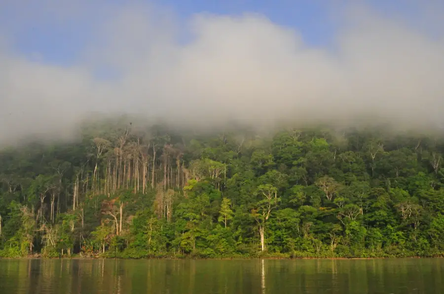
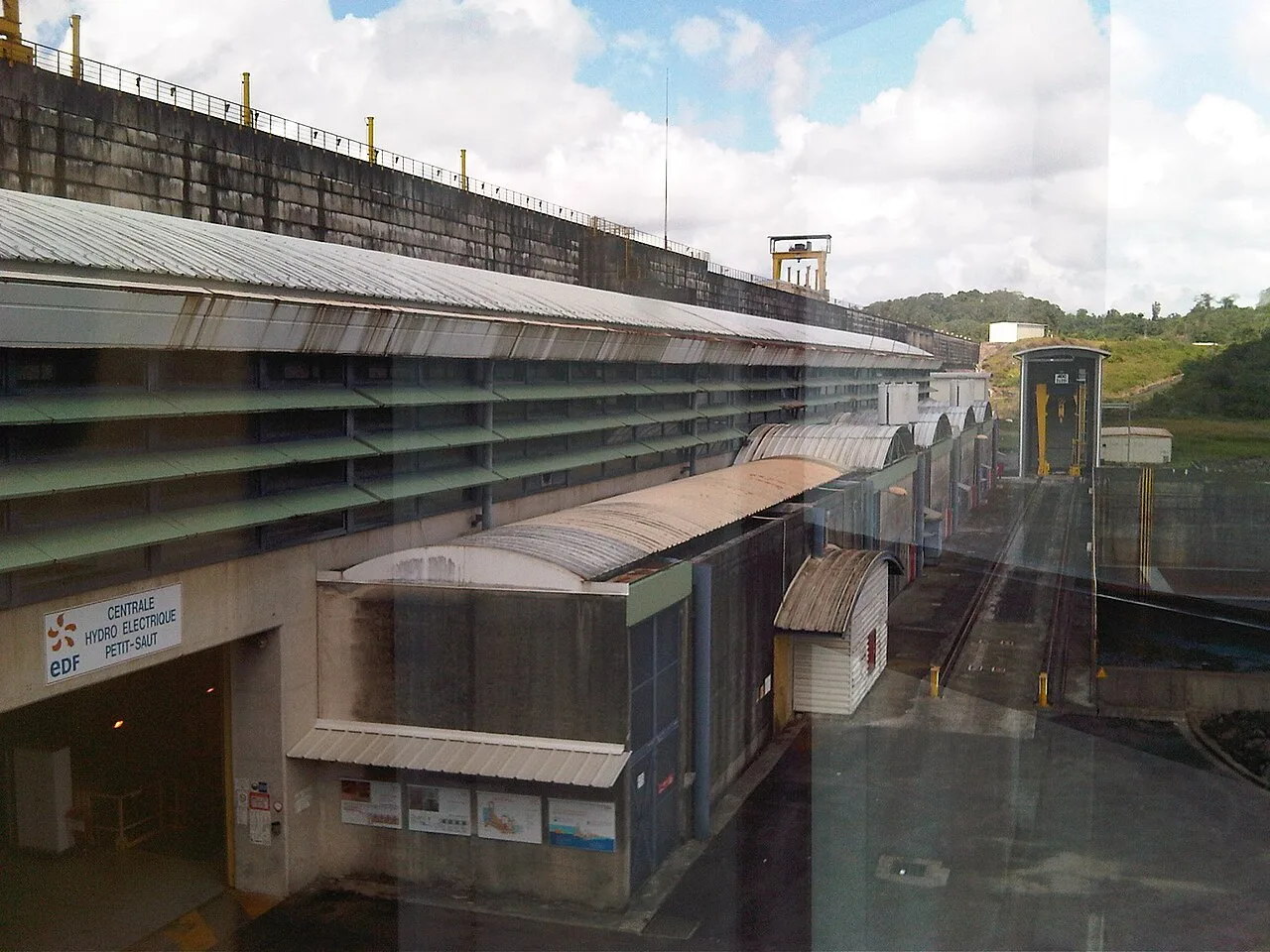
The Maroni River, stretching approximately 612 kilometers, is the most significant and voluminous waterway in French Guiana, forming the natural border with neighboring Suriname. It originates in the Tumuc-Humac Mountains in the south and flows northward through dense, pristine rainforest until it empties into the Atlantic Ocean near Saint-Laurent-du-Maroni. For the local population, especially the Bushinengue and Amerindian communities, the river is the primary transportation route, as many settlements are accessible only by pirogue. Navigating the Maroni is characterized by numerous rapids, known as 'Sauts,' which require great skill from the boatmen. The flora and fauna along its banks are exceptionally biodiverse, hosting countless species of birds, monkeys, and rare aquatic life. Historically, the river was a theater for the gold rush and remains a center for artisanal gold mining to this day. Despite challenges from illegal activities, the Maroni remains a symbol of Guiana's wilderness and cultural diversity. Preserving this vast ecosystem is of critical importance for the ecological balance of the entire region.
- Location: French Guiana
- Top sights: Les Hattes · Galibi Nature Reserve
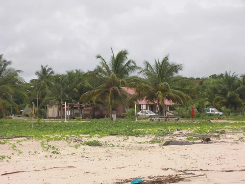
- Nearby: Awala-Yalimapo (8 km)
Best time to visit & climate
The most pleasant time to visit is Sep–Nov.
| Jan | Feb | Mar | Apr | May | Jun | Jul | Aug | Sep | Oct | Nov | Dec | |
|---|---|---|---|---|---|---|---|---|---|---|---|---|
| Avg °C | 26 | 26 | 27 | 27 | 27 | 27 | 27 | 27 | 28 | 28 | 27 | 27 |
| Rain mm | 146 | 117 | 110 | 203 | 306 | 255 | 176 | 94 | 47 | 52 | 85 | 163 |
📋 Practical info
Geography
Facts
- At 612 km, it is the longest river in French Guiana.
- The river basin covers an area of approximately 68,000 square kilometers.
- Major tributaries include the Tapanahoni and the Lawa rivers.
- The mouth forms a vast estuary important for nesting sea turtles.
- Infamous for dangerous rapids such as the Saut Hermina.
- Serves as the vital artery for the town of Saint-Laurent-du-Maroni.
Explore nearby
Notable places around
Route planner — Car & Motorhome
Where do you start? We build the route here, with stops and country notes along the way.
© OpenStreetMap contributors · OpenRouteService
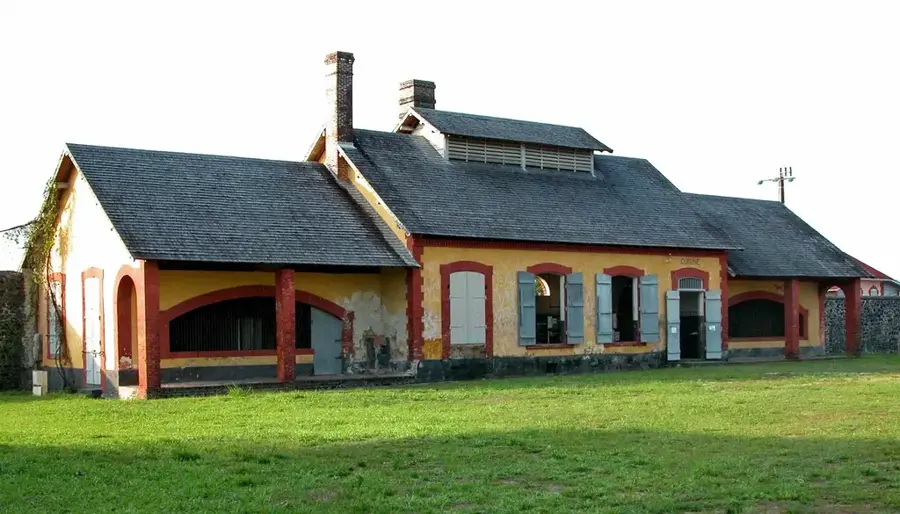
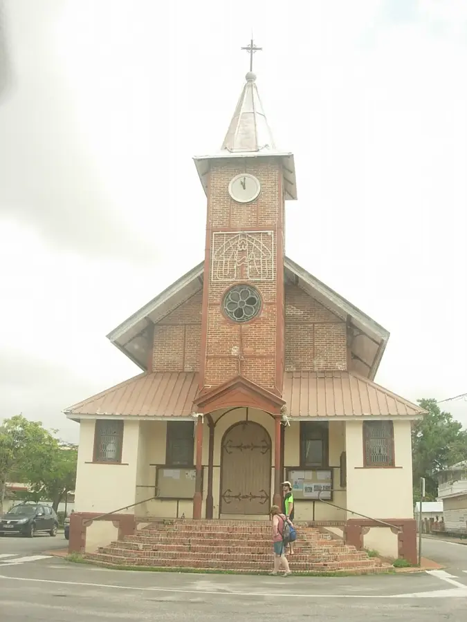
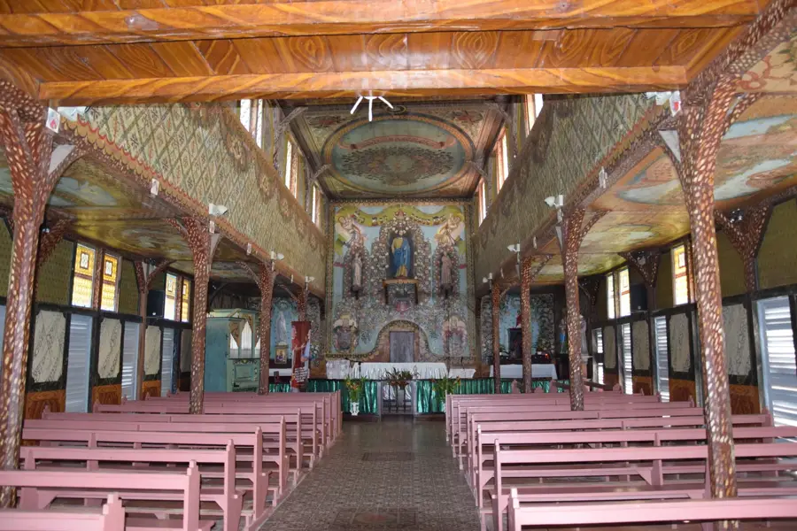
Sights in the town Maroni River (2)
Sights nearby
Frequently asked questions
How do you cross the Maroni River to Suriname?
What kind of tours are offered on the river?
Is it safe to swim in the Maroni River?
What can you see along the banks of the Maroni?
What wildlife is there by the river?
Maroni River: where is it located?
Maroni River: what is there to see?
Maroni River: when is the best time to visit?
Maroni River: why is it worth visiting?

Nearby cities
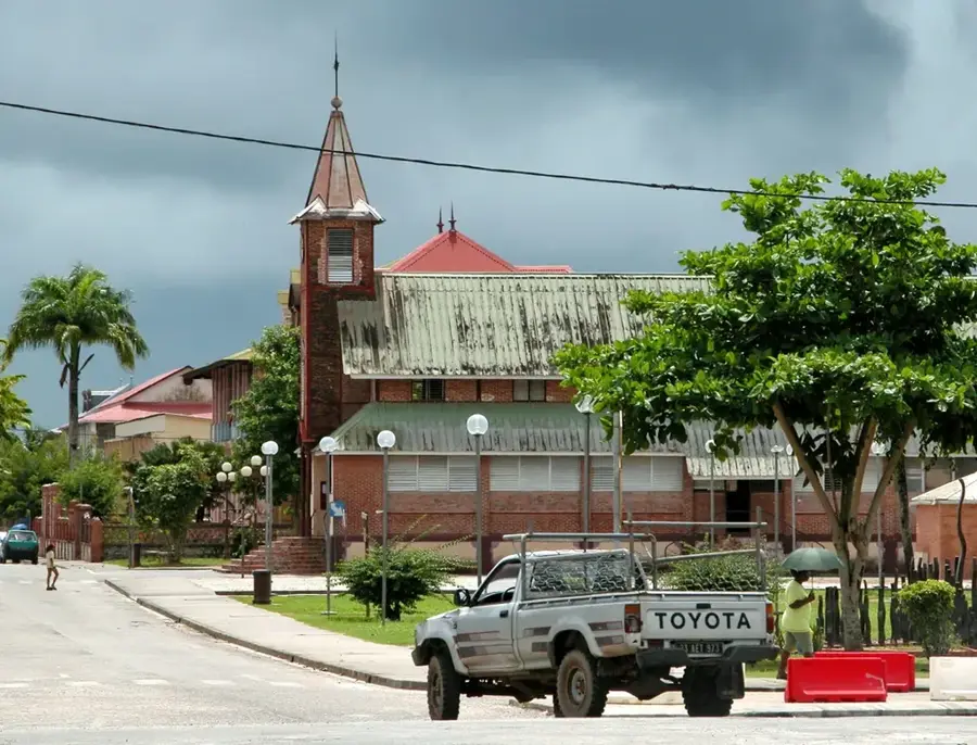
History & landmarks
Nature
More places